The best road cycling routes around gmina Bakałarzewo
5.0
(4)
103
riders
24
rides
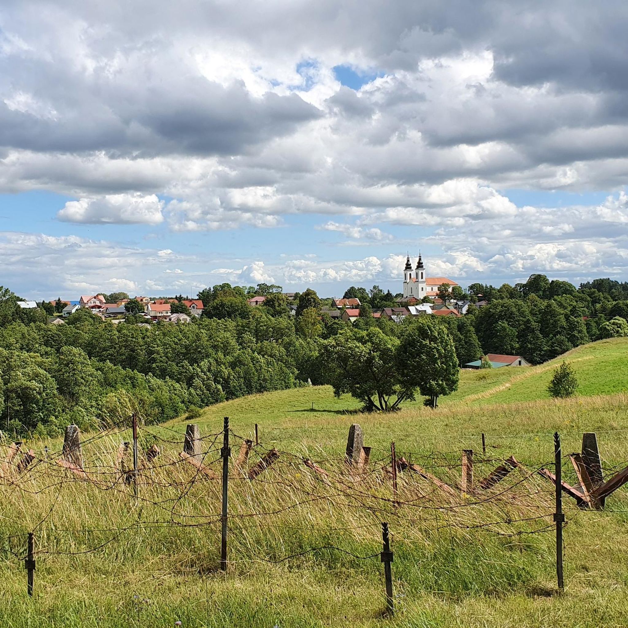
Road cycling routes around gmina Bakałarzewo traverse a landscape shaped by glacial activity, featuring undulating moraine uplands, numerous lakes, and extensive forests. The region is characterized by varied elevations, including hills and ravines, with differences of 15-20 meters and maximum heights reaching around 219 meters above sea level. This terrain provides a dynamic environment for road cyclists, offering both challenging climbs and scenic descents through northeastern Poland.
Best road cycling routes around gmina Bakałarzewo
- The most popular road cycling route…
Last updated: June 28, 2026
9
riders
55.5km
02:25
180m
180m
Moderate road ride. Good fitness required. Some segments of this route may be unpaved and difficult to ride.
9
riders
81.8km
03:14
400m
400m
Moderate road ride. Good fitness required. Mostly well-paved surfaces and easy to ride.

Sign up for free
5.0
(1)
6
riders
71.4km
03:06
450m
450m
Moderate road ride. Good fitness required. Some segments of this route may be unpaved and difficult to ride.
5
riders
56.8km
02:18
290m
290m
Moderate road ride. Good fitness required. Mostly well-paved surfaces and easy to ride.
3
riders
43.8km
01:47
260m
260m
Easy road ride. Great for any fitness level. Mostly well-paved surfaces and easy to ride.
Get access to more routes and recommendations from other explorers.
Sign up for free
Already have an account?
Our route recommendations are based on thousands of hikes, rides, and runs completed by other people on komoot.
Start today with a free account
Your next adventure awaits.
Login or Signup
Tips from the Community

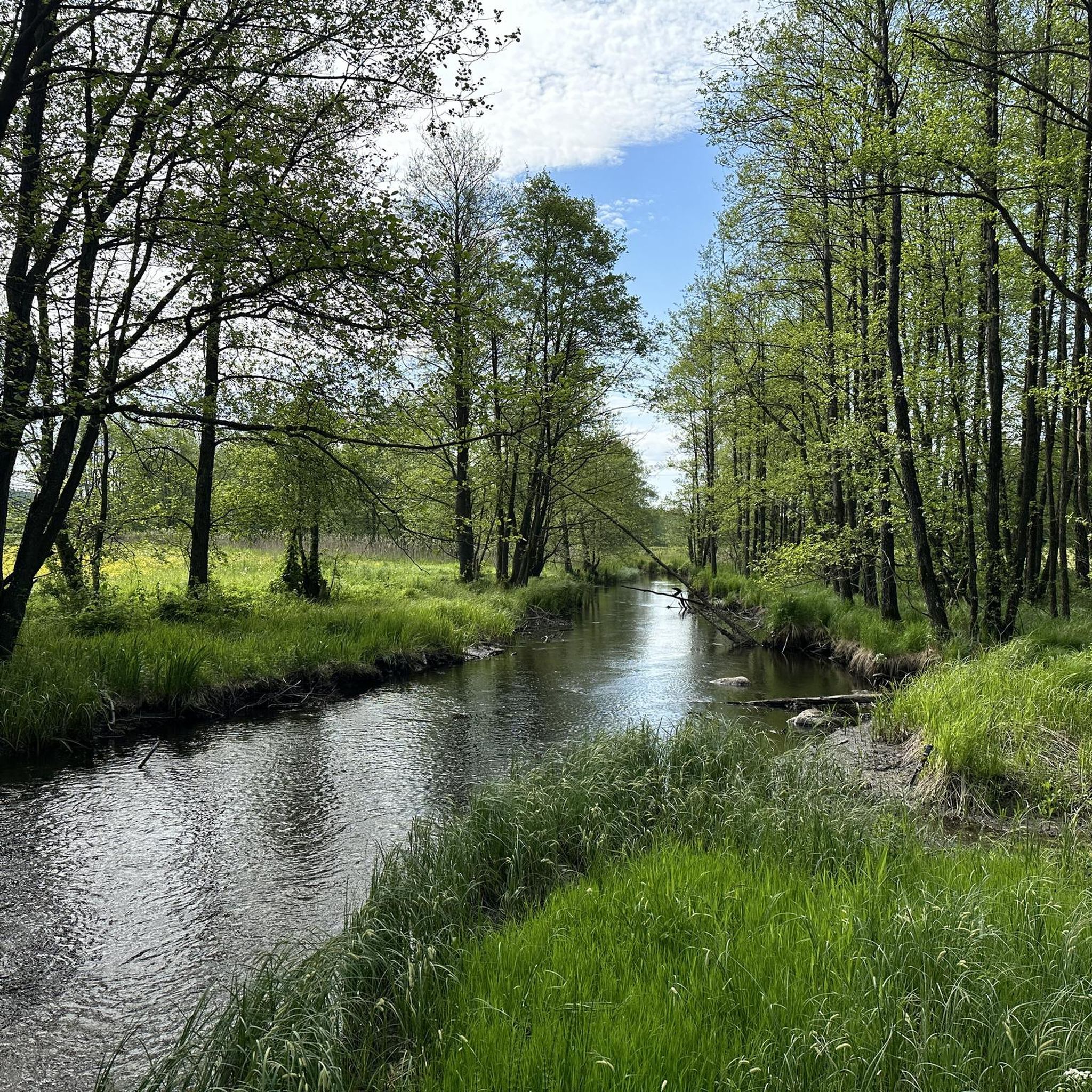
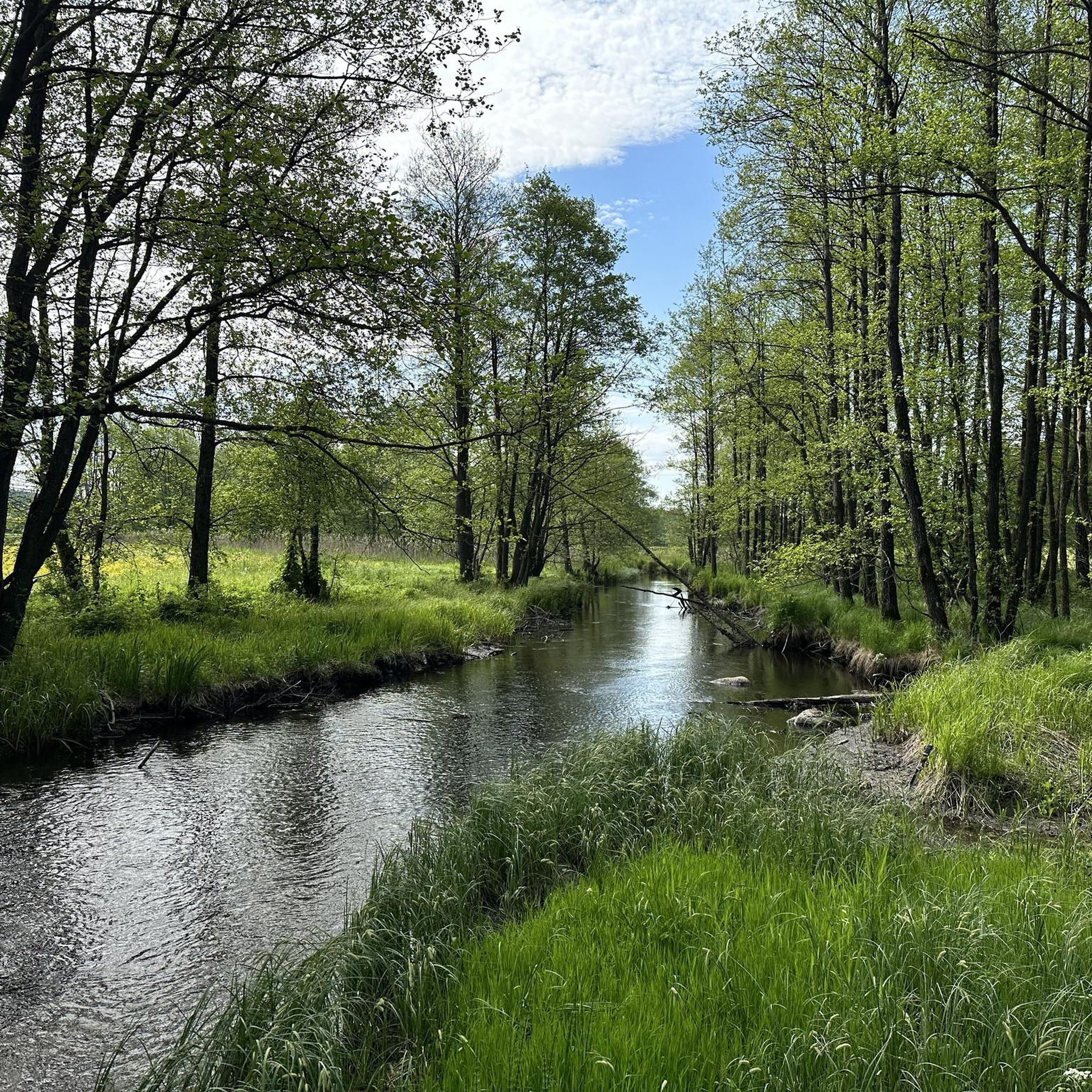
A relaxing spot on Lake Garbas. It features benches, shelters, and a pier. It's the perfect place for a break surrounded by nature. Lake Garbas is a long, channel lake in the West Suwałki Lake District, with the picturesque Rospuda River flowing through it.
1
0

The lake is quite a large reservoir by Polish standards. It has 940 hectares of water surface. The average depth is 9.6 meters, and the maximum is 43.7 meters. The lake is roughly rectangular in shape with a large bay facing north. The main inflow is Łaźna Struga, the upper section of the Ełk River, and the outflow is the Ełk. In the south, the lake connects with Lake Straduńskie by a short section of this river. In the west, it connects with Lake Ułówki by a strait. There are two islands on the lake with a total area of 3.2 hectares. https://jeziorapolski.pl/jezioro-lasmiady/
2
0
Lake Łaśmiady is located in the Warmian-Masurian Voivodeship, north of Ełk, in the Ełk Lake District. The easiest way to get to the lake is by taking national road no. 65. On the section between Ełk and Olecko, there is the village of Straduny, and here you should turn onto the county road in the direction of Wronki. The lake is about 3 kilometers away. Roads lead along the eastern, north-eastern and southern shores. The rest are forested and inaccessible.
2
0

The towns and lakes are located close to each other.
1
0
Graduation towers located on the lake. Next to it is a pump room.
3
0

A atmospheric place, pleasant for cycling and hiking.
0
0
Beautiful views and clean water.
0
0
Frequently Asked Questions
How many road cycling routes are available in gmina Bakałarzewo?
There are 20 road cycling routes in gmina Bakałarzewo, with 18 classified as moderate and 2 as easy. These routes traverse a landscape shaped by glacial activity, offering a dynamic environment for cyclists.
What is the typical terrain like for road cycling in gmina Bakałarzewo?
The terrain in gmina Bakałarzewo is characterized by undulating moraine uplands, featuring 'fabulous hills and ravines' with elevation differences of 15-20 meters and maximum heights around 219 meters above sea level. You'll encounter a mix of forests, numerous lakes, and varied elevations, providing both challenging climbs and scenic descents.
Are there any easy road cycling routes suitable for beginners in gmina Bakałarzewo?
Yes, there are 2 easy road cycling routes in gmina Bakałarzewo. While the region is known for its undulating terrain, these routes offer a gentler introduction to the area's picturesque landscapes, allowing beginners to enjoy the scenery without excessive challenge.
What kind of scenic views can I expect along the road cycling routes?
Road cycling routes in gmina Bakałarzewo offer diverse scenic views, including picturesque lakes such as Głębokie, Sumowo, and Okrągłe, as well as extensive forests and the undulating moraine uplands. Many routes provide vistas of the Rospuda River Valley, known for its natural beauty. For example, the route View of Lake Wigry in Bryzgiel – View of Lake Wigry loop from Koniecbór offers stunning lake views.
Are there any historical sites or landmarks to see while cycling in gmina Bakałarzewo?
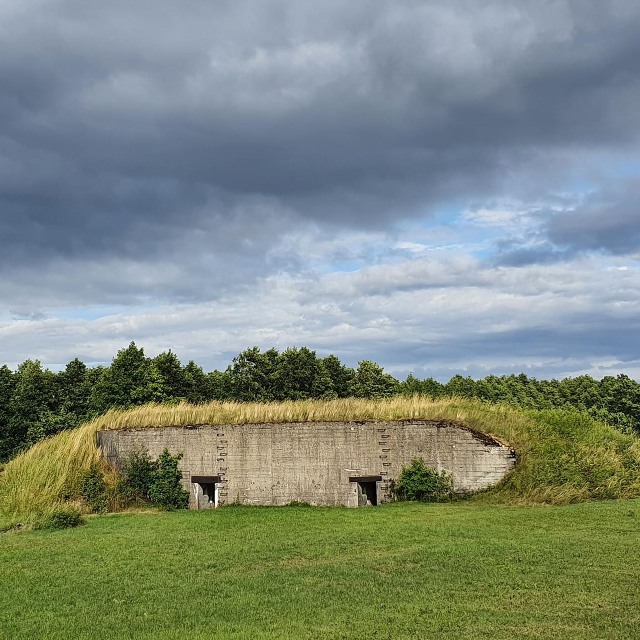
Yes, gmina Bakałarzewo and its vicinity offer several historical sites. You can explore the historic Bakałarzewo Market Square, visit a historic brick church from 1936, or discover well-preserved war shelters. Nearby, you might also find the ruins of Pac Palace in Dowspuda. For a specific highlight, consider visiting the Ruins of Pac Palace (Dowspuda).
What do other road cyclists enjoy most about cycling in gmina Bakałarzewo?
The komoot community highly rates road cycling in gmina Bakałarzewo, with an average score of 5.0 stars from 2 reviews. Cyclists often praise the varied terrain, the numerous lakes, and the extensive forests that make for a dynamic and visually engaging ride. The combination of challenging climbs and scenic descents through northeastern Poland is a particular highlight.
Are there any loop road cycling routes in gmina Bakałarzewo?
Yes, many of the road cycling routes in gmina Bakałarzewo are designed as loops, allowing you to start and finish at the same point. Examples include the Roadbike loop from Suwałki and the View of Lake Łaśmiady – Gravel Road loop from Olecko, which navigate through varied landscapes and past numerous lakes.
What is the best time of year for road cycling in gmina Bakałarzewo?
The best time for road cycling in gmina Bakałarzewo is typically during the warmer months, from late spring to early autumn. During this period, the weather is generally pleasant, allowing you to fully enjoy the region's diverse landscapes, including its lakes and forests, without the challenges of colder temperatures or snow.
Are there any places to stop for a break or find refreshments along the routes?
While specific cafes or pubs directly on every route are not detailed, the revitalized Bakałarzewo Market Square in the heart of the gmina offers amenities like stylish shelters and a fountain, making it a good spot for a break. Additionally, areas around the developed lakefronts often provide opportunities for relaxation and refreshments.
Are there any attractions related to water activities near the cycling routes?
Absolutely. Gmina Bakałarzewo is rich in water bodies. The Rospuda River is famous for kayaking, and the gmina boasts ten picturesque lakes. You can find developed lakefronts and swimming areas like the City Beach in Olecko or the Szyjka Swimming Area, perfect for a post-ride cool-down or a scenic stop.
Can I find routes that pass by natural reserves or unique geological features?
Yes, you can. The region is home to the Rutka Nature Reserve, which showcases unique glacial boulders, offering a glimpse into the area's geological past. An Observation Deck at Rutka Nature Reserve is a notable highlight that cyclists might find interesting to visit.
Are there any routes that offer views of Lake Olecko Wielkie?
While not directly within gmina Bakałarzewo, the broader region is committed to cycling-friendly infrastructure, including paths along Lake Olecko Wielkie. The East Bank of Lake Oleckie is a highlight in the vicinity, suggesting opportunities to enjoy views of this significant lake.
Most popular routes around gmina Bakałarzewo
Most popular attractions around gmina Bakałarzewo

Get inspired with the komoot mobile app


Explore more
Browse the best Road cycling routes in other regions.
