The best road cycling routes around gmina Malbork
4.9
(15)
994
riders
11
rides
Road cycling around gmina Malbork is characterized by its flat, picturesque terrain within the Żuławy region, a delta area ideal for road cyclists. The routes feature well-paved rural roads with minimal elevation changes, making them accessible for various fitness levels. The Nogat River, a branch of the Vistula, is a prominent natural feature, with many routes offering views along its banks. This landscape provides a consistent surface for road cycling, often passing through agricultural fields and local villages.
Best road…
Last updated: July 8, 2026
87
riders
Easy road ride. Great for any fitness level. Mostly well-paved surfaces and easy to ride.
28
riders
44.8km
01:45
60m
60m
Moderate road ride. Great for any fitness level. Some segments of this route may be unpaved and difficult to ride.

Sign up for free
5.0
(1)
34
riders
Moderate road ride. Great for any fitness level. Some segments of this route may be unpaved and difficult to ride.
25
riders
30.3km
01:16
40m
40m
Moderate road ride. Great for any fitness level. Some segments of this route may be unpaved and difficult to ride.
12
riders
Moderate road ride. Great for any fitness level. Some segments of this route may be unpaved and difficult to ride.
Get access to more routes and recommendations from other explorers.
Sign up for free
Already have an account?
Our route recommendations are based on thousands of hikes, rides, and runs completed by other people on komoot.
Start today with a free account
Your next adventure awaits.
Login or Signup

Other adventures around gmina Malbork

Tips from the Community

The water tower on Słowiański Square in Marienburg (Malbork) was built when the water and sewage pipes were laid in the city. The brick building was erected on a high, octagonal stone base. The cylindrical tower was divided at the corners of the base by narrow pilasters. The building has three floors, each with one room. The water tank and the spiral staircase have been preserved to this day. https://de.visitmalbork.pl/1121,Wasserturm-am-Slowianski-Platz.html
2
0
The St. Mary's Gate - Brama Mariacka - is one of the distinctive historical city gates of Malbork. Formerly known as the Ferry Gate, it connected the city to the south towards Marienwerder and Thorn. The Brick Gothic style is clearly recognizable, and the renovated complex today forms an atmospheric entrance to the old town. The gate is a short, rewarding stop and a quiet glimpse into the medieval city structure before continuing to the Malbork Castle or along the Nogat river.
2
0
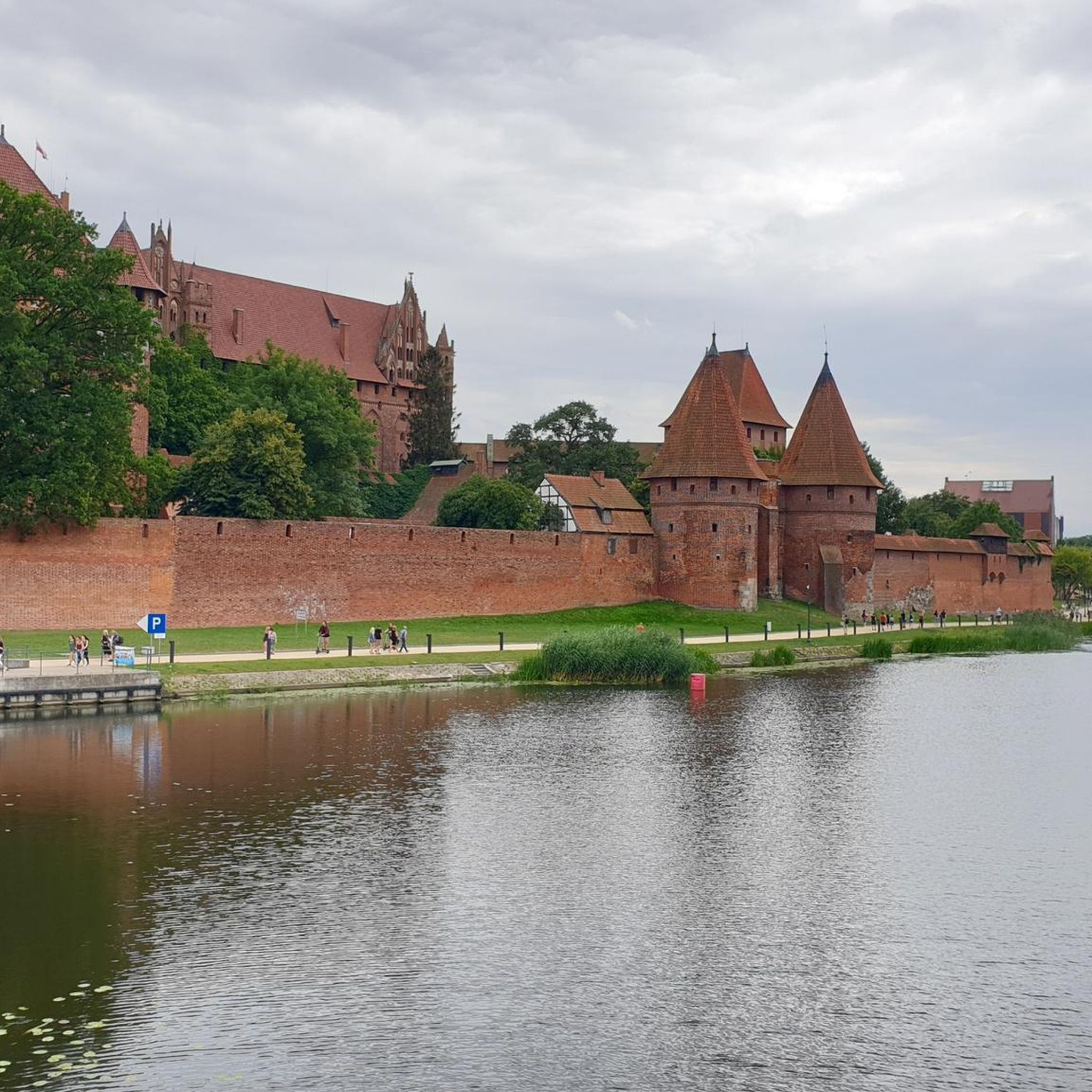
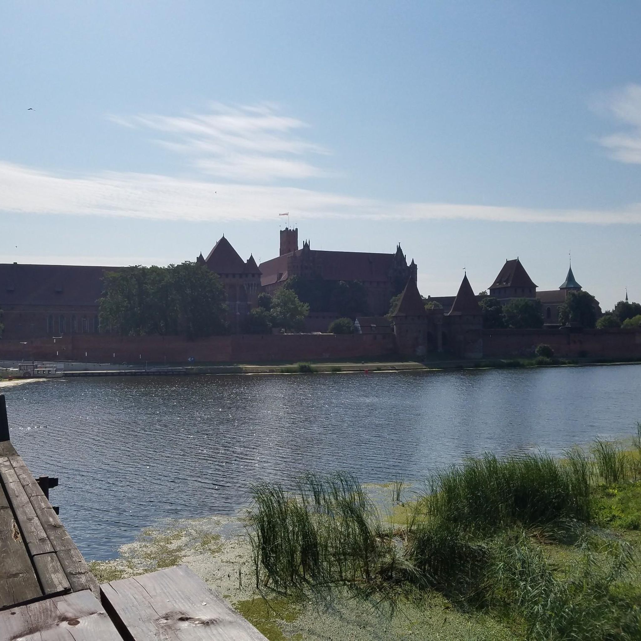
The St. Adalbert Bridge (Most im. św. Wojciecha) spans the Nogat River and leads you with the very best panoramic views of Marienburg Castle to the largest brick castle in the world. It connects the modern promenade (Bulwar im. Macieja Kilarskiego) on the city side directly with the castle grounds.
2
0

Super view
2
0

Great facility, and very well maintained. The nearby campsite makes it really convenient to visit with a campervan.
0
0

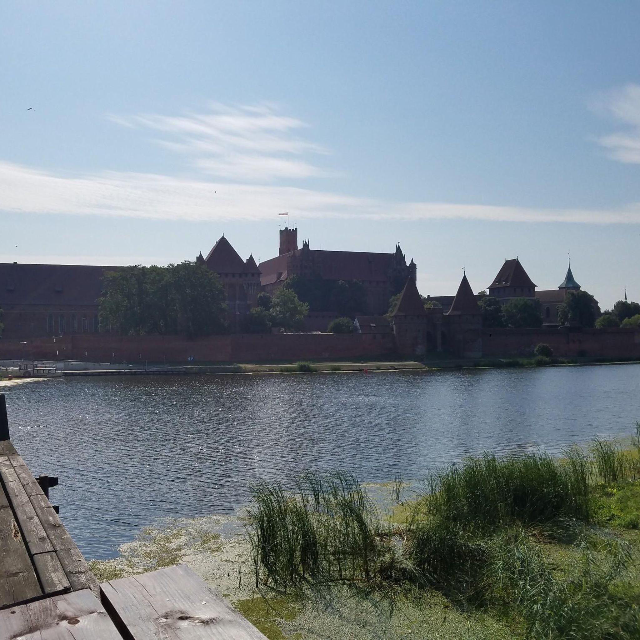
Malbork Castle is a medieval Teutonic Knights castle built in the 13th century. It lies on the Nogat River, an estuary of the Vistula River, near the Polish town of Malbork (German: Marienburg). From 1309 to 1454, the castle served as the seat of the Grand Masters of the Order within the Teutonic Order. Afterward, with brief interruptions from 1457 to 1772, it belonged to Polish Prussia, a province of the Kingdom of Poland, and served as the residence of Polish kings. During this period, the castle was also temporarily under Swedish control. After the partition of Poland, the castle became part of the Kingdom of Prussia in 1772, and after the Second World War, it became part of Poland. The extensive castle complex is the largest brick building in Europe. The UNESCO World Heritage Site houses several exhibitions and can be visited year-round on snow-free days." Wikipedia - Malbork (Ordensburg) This castle is without a doubt a highlight. Anyone who is even remotely nearby should definitely stop by.
3
0
Frequently Asked Questions
How many road cycling routes are available in gmina Malbork?
There are over 75 road cycling routes in gmina Malbork, offering a wide range of options for different preferences. The majority of these routes are classified as easy or moderate, making them accessible to many cyclists.
What is the typical terrain like for road cycling in gmina Malbork?
The terrain around gmina Malbork is predominantly flat, characteristic of the picturesque Żuławy region, a delta area. You can expect well-paved rural roads with minimal elevation changes, making it ideal for smooth and enjoyable road cycling. Routes often follow the Nogat River and pass through agricultural fields and charming local villages.
What are the difficulty levels of road cycling routes in gmina Malbork?
Gmina Malbork offers a good mix of routes for various skill levels. Out of the total routes, 26 are considered easy, 52 are moderate, and there is 1 difficult route for those seeking a greater challenge. This ensures options for beginners and more experienced cyclists alike.
What do other cyclists say about road cycling in gmina Malbork?
The road cycling routes in gmina Malbork are highly rated by the komoot community, with an average score of 4.8 stars from over 20 reviews. Cyclists often praise the flat, scenic routes, the views of historical landmarks, and the well-maintained rural roads that make for a pleasant riding experience.
Are there any family-friendly road cycling routes in gmina Malbork?
Yes, the generally flat terrain and well-paved rural roads in gmina Malbork make many routes suitable for families. Routes with minimal elevation gain and away from heavy traffic, such as those through local villages and along the Nogat River, are excellent choices for a family outing. Look for routes marked as 'easy' for the most family-friendly options.
What historical landmarks can I see while road cycling in gmina Malbork?
Gmina Malbork is rich in history. Many routes offer stunning views of the magnificent Malbork Castle, a UNESCO World Heritage site. You can also cycle past the Biała Góra Lock, an impressive piece of hydrotechnical engineering, and even the unique Mennonite cemetery in Stogi. Another notable historical site is Sztum Castle, which is also featured in some cycling routes.
Are there any long-distance road cycling routes in gmina Malbork?
While many routes are shorter loops, the flat nature of the Żuławy region allows for easy combination of routes to create longer distances. For example, the View of the Biała Góra Lock – Biała Góra Lock loop from Grobelno is a moderate 38.7 km ride, and by linking several such routes, you can easily extend your journey through the scenic countryside.
Can I find circular road cycling routes in gmina Malbork?
Yes, many of the road cycling routes in gmina Malbork are designed as circular loops, allowing you to start and end at the same point. Examples include the Malbork Castle – View of Malbork Castle loop from Wielbark and the View of Malbork Castle – Malbork Castle loop from Malbork Kałdowo, both offering convenient round trips.
Are there routes that offer views of Malbork Castle from different perspectives?
Absolutely. Several routes are specifically designed to showcase the magnificent Malbork Castle from various angles. The Malbork Castle – View of Malbork Castle loop from Wielbark, the Malbork Castle – View of Malbork Castle loop from Nowa Wieś Malborska, and the View of Malbork Castle – Malbork Castle loop from Malbork Kałdowo all provide unique and memorable views of this historic landmark.
What is the best time of year for road cycling in gmina Malbork?
The best time for road cycling in gmina Malbork is typically from spring through early autumn (April to October). During these months, the weather is generally mild and pleasant, with less chance of extreme cold or heavy snow, making for comfortable riding conditions. The flat terrain also means routes are less affected by adverse weather compared to mountainous regions.
Are there any routes that pass by Sztum Castle?
Yes, you can explore routes that include views of Sztum Castle. For instance, the Sztum Castle – Smooth Rural Road loop from Gronajny offers an easy 29.9 km ride that allows you to experience this historical landmark while cycling through the region's characteristic smooth rural roads.
Are there facilities like covered stops or benches along the cycling trails?
The cycling infrastructure in gmina Malbork is developing, and new, well-signed cycling trails are being introduced. These often feature convenient amenities such as covered stops with benches, tables, and trash bins, providing comfortable places for breaks during your ride.
Can I rent a bike in gmina Malbork?
Yes, bike rentals are available in the gmina Malbork area. This is a convenient option if you don't bring your own bicycle, allowing you to easily explore the region's road cycling routes.
Most popular routes around gmina Malbork
Most popular attractions around gmina Malbork

Get inspired with the komoot mobile app


Explore more
Browse the best Road cycling routes in other regions.
