The 13 Most Amazing Peaks around Dohm-Lammersdorf
Best mountain peaks around Dohm-Lammersdorf are found in a region shaped by its volcanic history and geological formations. The area features diverse landscapes, including ancient reef structures, volcanic cones, and dense forests. Dohm-Lammersdorf offers a range of natural and historical sites, from geological wonders to medieval ruins, providing varied exploration opportunities.
Best mountain peaks around Dohm-Lammersdorf
- The most popular mountain peaks include Freudenkoppe Castle Ruins, a castle ruin located on a 610-meter high basalt cone. This site features well-preserved…
Last updated: May 17, 2026
View of Gerolstein from the Munterley
Highlight • Viewpoint
Translated by Google •
Tip by

Millstone Cave at Nerother Kopf
Highlight • Cave
The millstone cave consists of lava boards and is an artificial cave in the Vulkaneifel, Rhineland-Palatinate. It was created by the production of …
Translated by Google •
Tip by

Sign up now to discover places like this
Get recommendations on the best single tracks, peaks, & plenty of other exciting outdoor places.
Sign up for free
Freudenkoppe Castle Ruins
Highlight • Castle
Translated by Google •
Tip by
Dietzenley Observation Tower
Highlight • Viewpoint
Translated by Google •
Tip by

Ernstberg
Highlight • Volcano
Translated by Google •
Tip by

Sign up for free to discover even more peaks around Dohm-Lammersdorf.
Sign up for free
Already have an account?
Start today with a free account
Your next adventure awaits.
Login or Signup
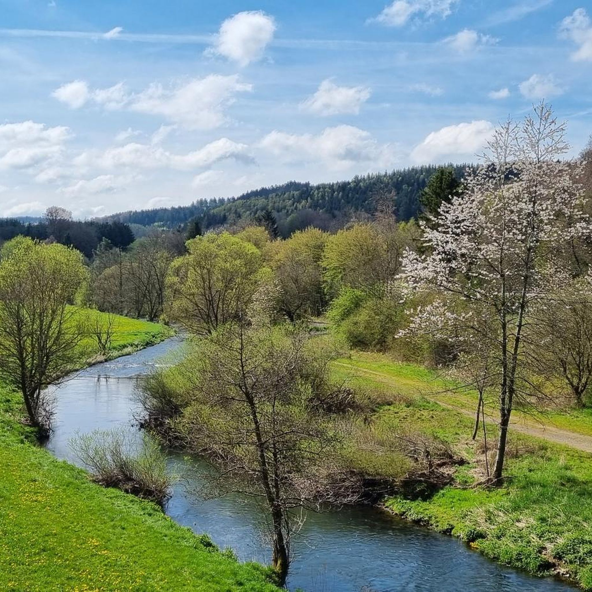
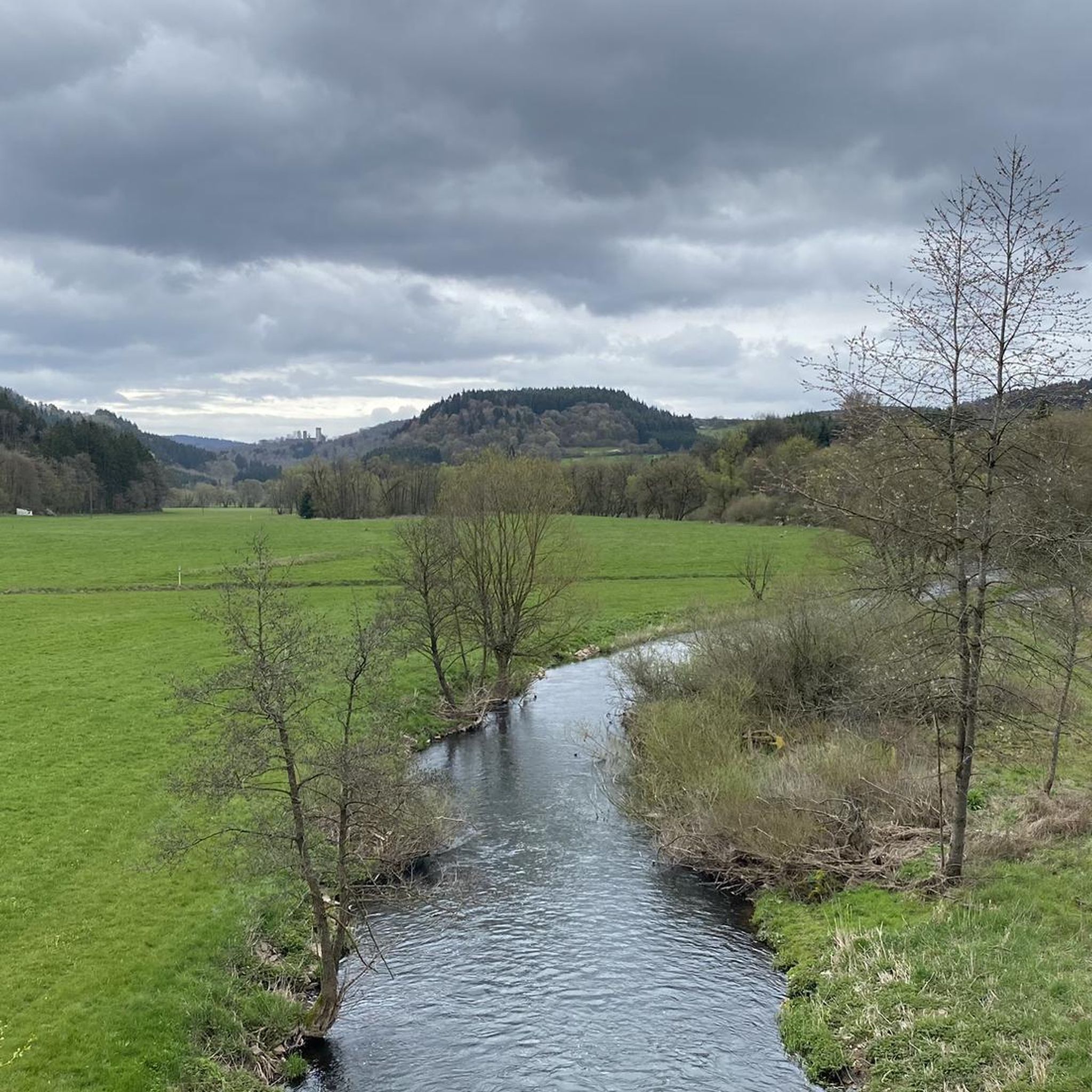
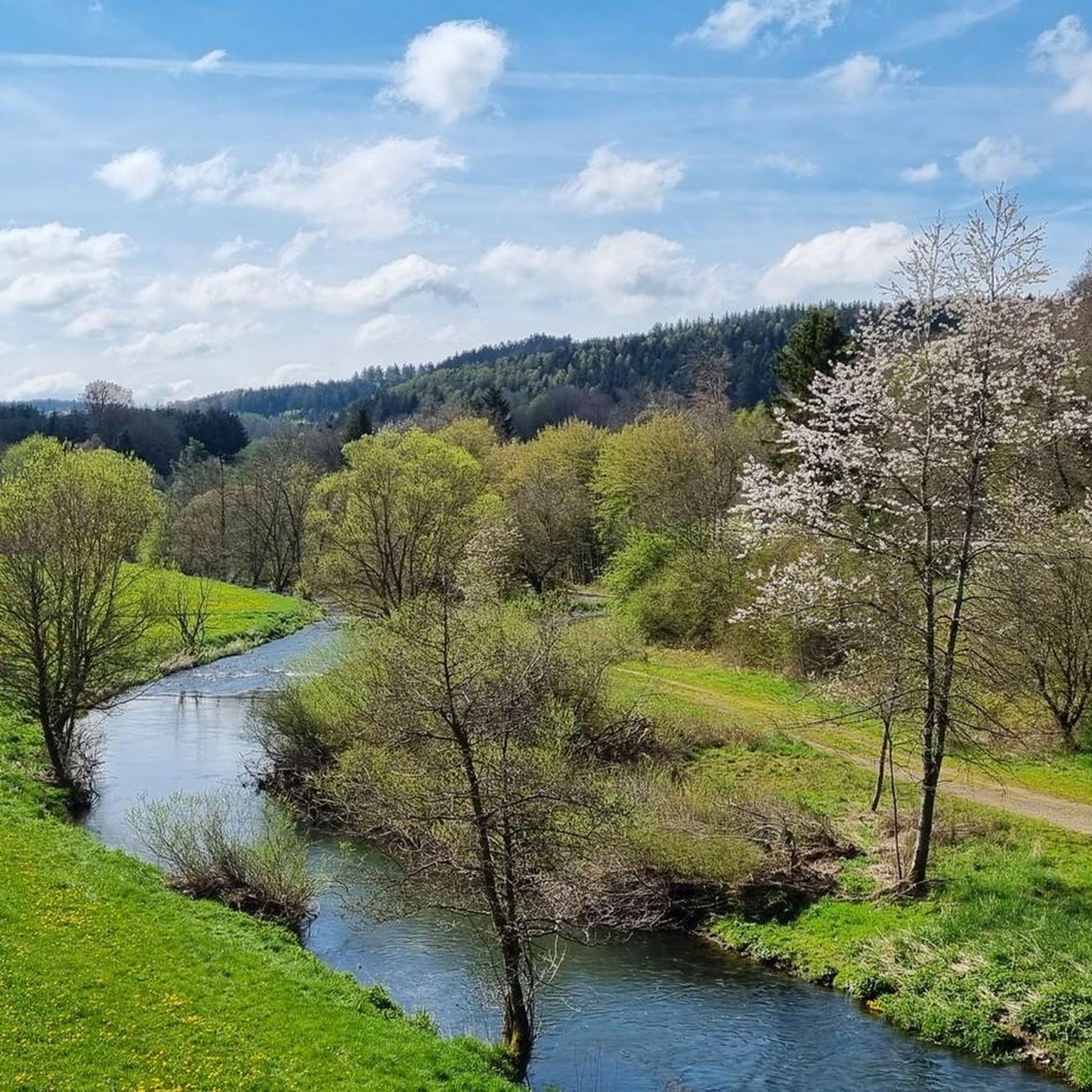
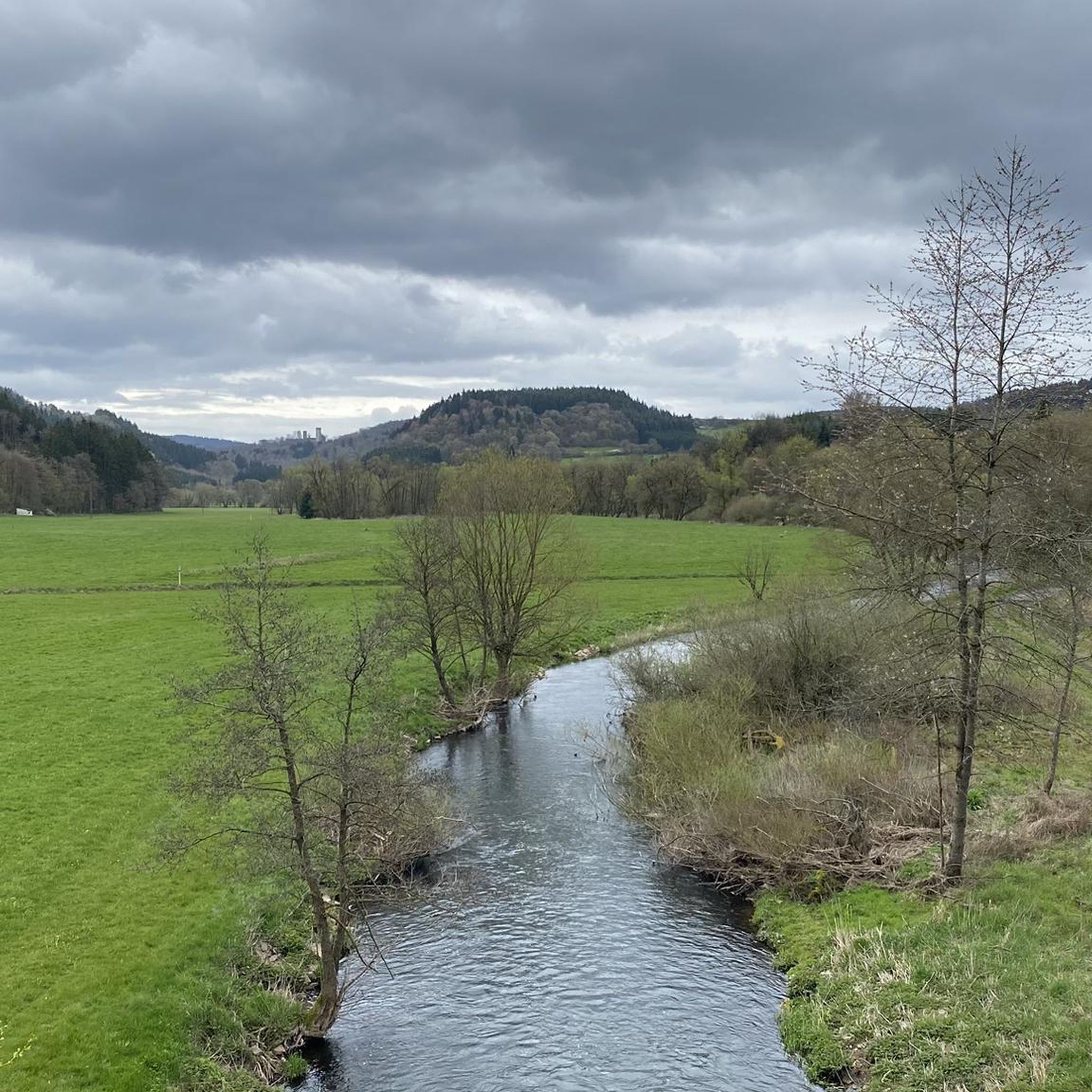

Tips from the Community

The 699 meter high Ernstberg is the highest elevation in the Eifel after the Hohe Acht. Since the summit is covered in forest, you unfortunately don't have a clear view of the surrounding landscape of the Volcanic Eifel from up here. About 500 meters away and about 60 meters lower is the Eifel-Blick Ernstberg, which offers us a wonderful panorama in clear weather.
3
1
The Ernstberg is an old Pleistocene stratovolcano with a distinctive ring-shaped arrangement of welding slag and basalt deposits. Its summit consists of welding slag, which builds up a crater wall that is open to the east. This is where the basalt masses flowed out, forming a semicircle on the eastern slope of the mountain; from the Middle Ages until around 1930, millstones were quarried at the foot of the mountain. Source: Wikipedia
4
0
After the climb to the summit of the Ernstberg, the benches offer a well-deserved breather.
3
0

Strenuous climb to a lot of rocks in the forest, a beautiful piece of unspoilt nature.
2
0

The steep climb to the castle is quite difficult. A real calf biter! But once at the top you forget it all. Beautiful ruin and the cave is more than worth it.
5
0

For Ernstberg see https://de.m.wikipedia.org/wiki/Ernstberg
4
1

"With an area of approx. 102 hectares, the area around the Gerolsteiner Dolomites has been a nature reserve since 1990. + occurring animal species: bat + occurring plant species: juniper, orchids, character plants calcareous grassland, grove rush-beech forest, woodruff-beech forest, orchid-limestone-beech forest Around 380 million years ago there was a warm, subtropical shallow sea here, in which mighty reefs of stromatopores - relatives of sponges - and corals formed. After the dolomitization, sinking and folding of the rocks, the Devonian deposits were lifted out again. Today's Gerolsteiner Dolomites were formed, which rise steeply above the Kylltal north of the center of Gerolstein. The rocks "Hustley", "Munterley", "Drohende Ley", "Große Kanzel" and "Auberg" characterize the cityscape from afar and form the landmark of Gerolstein. The most famous summit of the Gerolsteiner Dolomites is the "Munterley" - with a height of 482 meters - and offers a breathtaking view over Gerolstein, the Kylltal and far into the Vulkaneifel. Stone Age people, who settled here 30,000 years ago, obviously enjoyed this view, as evidenced by stone tools and bones found at the nearby Buchenloch Cave. Visiting the Gerolsteiner Dolomites can be perfectly combined with hiking the Felsenpfad - the northern part of the "Gerolsteiner Dolomiten Acht". The almost eight-kilometer round tour offers many magical places and geological traces." https://www.eifel.info/a-gerolsteiner-dolomites
10
0

Very well preserved ruin. Exploring them with children is a very special experience. Especially nice in late spring when the trees all around are fresh green.
8
0
Frequently Asked Questions
What kind of natural features can I expect to see on the mountain peaks around Dohm-Lammersdorf?
The region around Dohm-Lammersdorf is rich in geological history. You can explore ancient reef structures, volcanic cones, and dense forests. For example, at View of Gerolstein from the Munterley, you stand on a Devonian reef formed 380 million years ago. Ernstberg, one of the highest volcanoes in the Western Eifel, features exciting rock formations and ancient beech trees.
Are there any historical sites or ruins to explore on the peaks?
Yes, the peaks around Dohm-Lammersdorf offer several historical sites. You can visit Freudenkoppe Castle Ruins, a hilltop castle built around 1340 on a basalt cone. The Millstone Cave at Nerother Kopf is an artificial cave created by millstone production, located near the castle ruins and protected as a cultural monument. The Dietzenley Observation Tower stands on the site of a Celtic housing settlement from approximately 2500 years ago.
Are there family-friendly mountain trails around Dohm-Lammersdorf?
Many trails in the Dohm-Lammersdorf area are suitable for families. The View of Gerolstein from the Munterley is categorized as family-friendly, offering beautiful views and insights into the region's geology. When planning, look for routes marked as 'easy' or 'intermediate' to ensure they are appropriate for all family members.
What are some of the best viewpoints in the Dohm-Lammersdorf mountain region?
For expansive views, the Dietzenley Observation Tower provides impressive panoramas over Gerolstein and Büscheich. Another popular spot is the View of Gerolstein from the Munterley, which offers a fantastic perspective over Gerolstein and the Kylltal valley.
What outdoor activities can I do near the mountain peaks of Dohm-Lammersdorf?
Beyond exploring the peaks themselves, the region offers various outdoor activities. You can find numerous hiking trails, including moderate loops like the 'Rockeskyller Kopf Lava Quarry – View of Kasselburg loop from Lammersdorf'. There are also several running trails, such as the 'Little Bolsdorf Museum – Bolsdorfer Valley loop from Hillesheim'.
Are there challenging or expert trails for experienced hikers in the Dohm-Lammersdorf peaks?
Yes, some areas offer more challenging terrain. For instance, the Millstone Cave at Nerother Kopf and Freudenkoppe Castle Ruins are part of routes categorized as 'challenging' due to steep sections. These trails often combine historical exploration with demanding ascents.
What do visitors enjoy most about the mountain peaks around Dohm-Lammersdorf?
Visitors frequently praise the stunning views, the unique geological formations, and the rich historical context of the area. Many appreciate the well-preserved ruins and the opportunity to explore ancient sites. The community has shared over 1300 photos and given more than 2200 upvotes, highlighting the region's appeal for its natural beauty and historical significance.
Are there any circular walks available around the Dohm-Lammersdorf mountain range?
Yes, the area features several circular routes. For hikers, options include the 'Bolsdorfer Valley – Hillesheim Town Wall loop from Dohm' or the 'Giesenheld loop from Lammersdorf'. Runners can also find circular trails like the 'Running loop from Hillesheim'. These routes allow you to experience diverse landscapes and return to your starting point.
What is the best time of year to hike the Dohm-Lammersdorf mountains?
The Dohm-Lammersdorf region is beautiful year-round, but spring and autumn offer particularly pleasant hiking conditions with mild temperatures and vibrant foliage. Summer is also popular, though trails can be busier. In winter, some trails might be more challenging due to snow or ice, but offer a unique, serene experience.
Where can I find easy hiking routes near Dohm-Lammersdorf?
For easier hikes, consider routes like the 'Giesenheld loop from Lammersdorf', which is categorized as easy. Many trails around the highlights, such as those leading to View of Gerolstein from the Munterley, also offer accessible sections suitable for a relaxed walk. You can explore more options on the Hiking around Dohm-Lammersdorf guide.
Are there any hidden gems or less-known spots among the Dohm-Lammersdorf mountain peaks?
While popular spots like Freudenkoppe and Dietzenley are well-known, exploring the trails around Ernstberg can reveal hidden rock formations and ancient beech forests that offer a more secluded, primeval atmosphere. The Millstone Cave at Nerother Kopf, though historically significant, might also feel like a discovery for those seeking unique geological and historical insights off the main path.
What kind of geological history shaped the Dohm-Lammersdorf mountain peaks?
The mountain peaks around Dohm-Lammersdorf are deeply rooted in volcanic history. The area is characterized by ancient reef structures, volcanic cones, and lava flows. For instance, the Munterley stands on a Devonian reef, and the nearby Papenkaule volcano erupted about 30,000 years ago. Ernstberg is itself a significant volcano in the Eifel region.
Most popular routes around Dohm-Lammersdorf
Most popular attractions around Dohm-Lammersdorf

Get inspired with the komoot mobile app


Explore more
See even more amazing summits around Dohm-Lammersdorf with these guides:
