The best cycling routes around Gempenach
4.6
(1569)
12,580
riders
279
rides
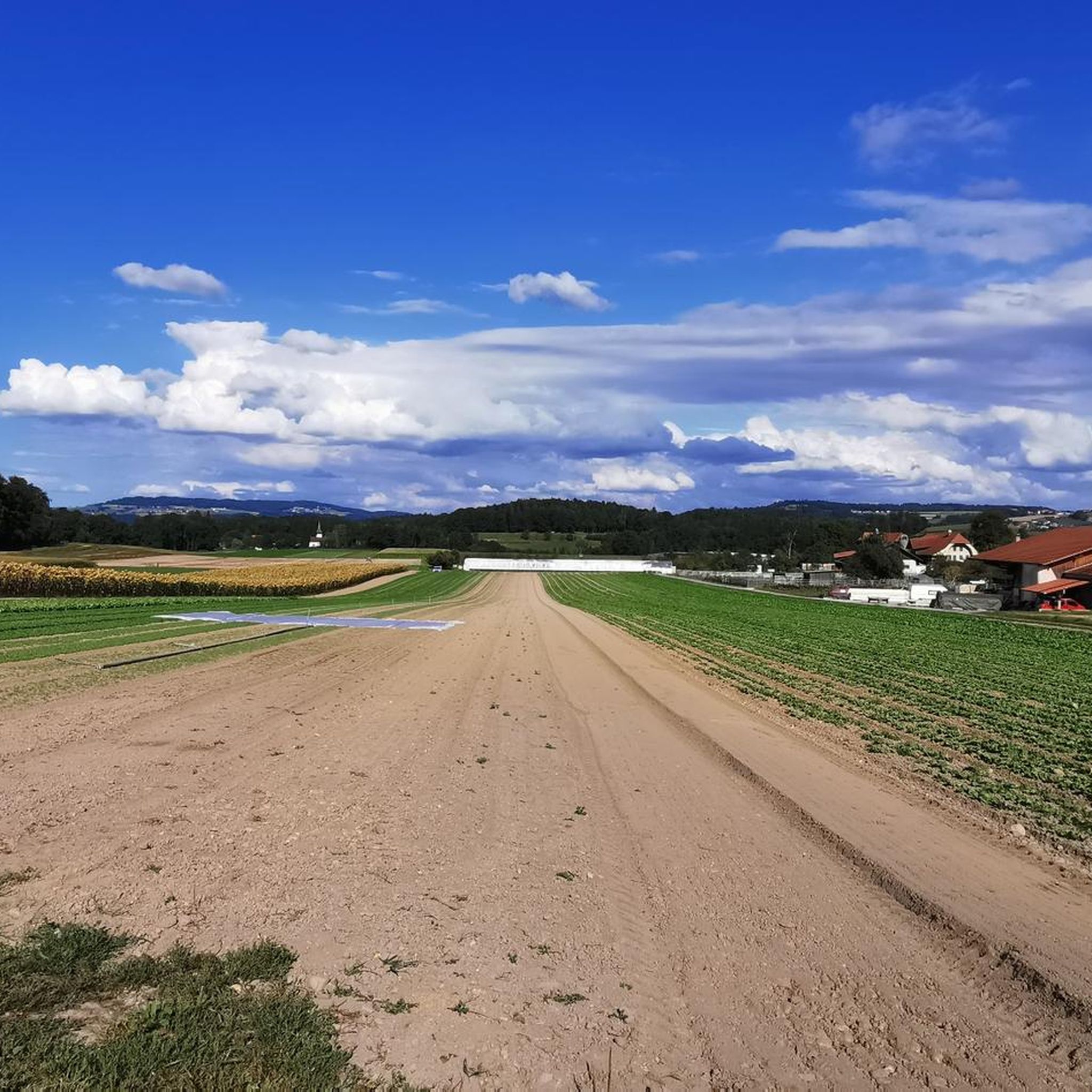
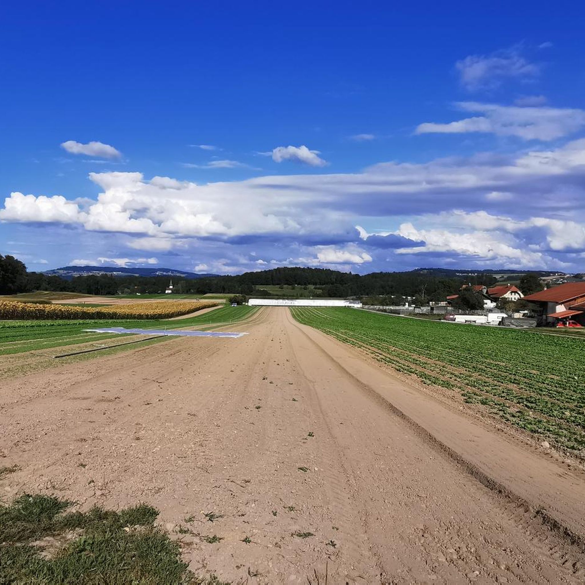
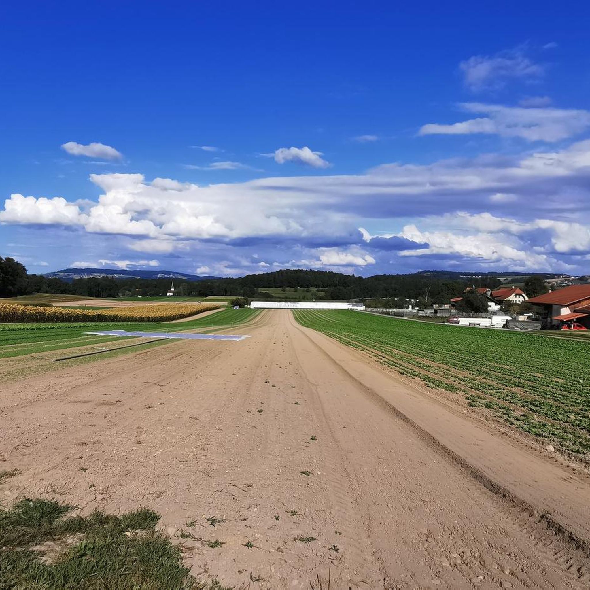
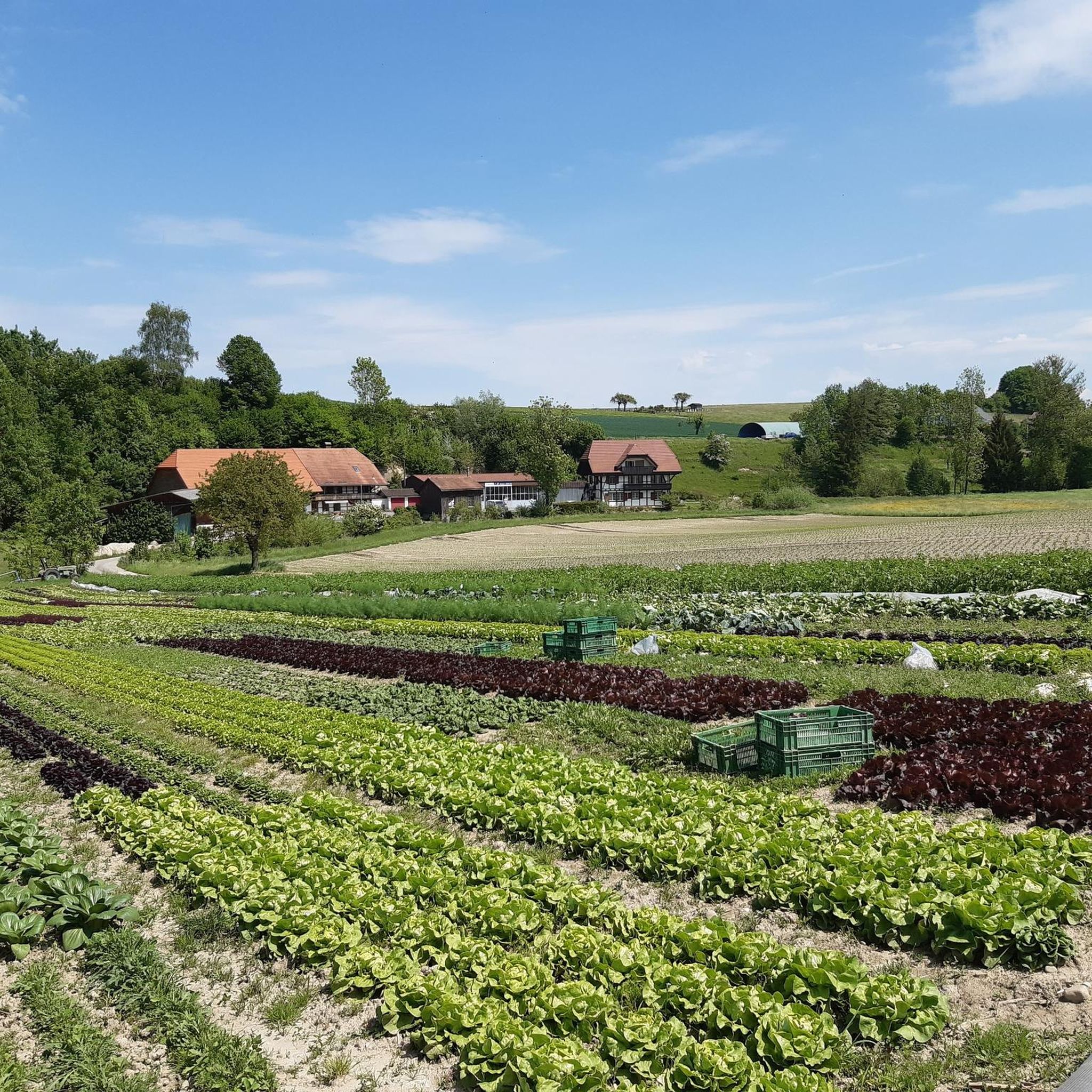
Touring bike trails around Gempenach traverse a landscape characterized by agricultural lands, forests, and gentle Molasse heights. Situated on a plateau, the area features open fields, wooded paths, and proximity to the Biberen river valley. The highest point, Breitfeld meadow hill, reaches 533 meters above sea level, offering varied terrain for cycling.
Best touring cycling routes around Gempenach
- The most popular touring cycling route is Murten Old Town – Gümmenen Covered Wooden Bridge loop from Gümmenen, a 21.6 miles…
Last updated: May 17, 2026
5.0
(2)
31
riders
34.6km
02:12
250m
250m
Moderate bike ride. Good fitness required. Mostly paved surfaces. Suitable for all skill levels.
22
riders
25.6km
01:44
190m
190m
Moderate bike ride. Good fitness required. Mostly paved surfaces. Suitable for all skill levels.

Sign up for free
9
riders
55.2km
03:38
320m
320m
Moderate bike ride. Good fitness required. Mostly paved surfaces. Suitable for all skill levels.
5.0
(1)
5
riders
17.9km
01:10
160m
160m
Moderate bike ride. Good fitness required. Mostly paved surfaces. Suitable for all skill levels.
5.0
(1)
7
riders
41.4km
02:54
740m
740m
Hard bike ride. Very good fitness required. Mostly paved surfaces. Suitable for all skill levels.
Get access to more routes and recommendations from other explorers.
Sign up for free
Already have an account?
Our route recommendations are based on thousands of hikes, rides, and runs completed by other people on komoot.
Start today with a free account
Your next adventure awaits.
Login or Signup
Tips from the Community

cool crossing next to the railway tracks
0
0

Alternative to main roads
0
0

Small railway bridge and cycle path over the canal.
1
0
Bhlivgon of the bridge on the canal.
1
0

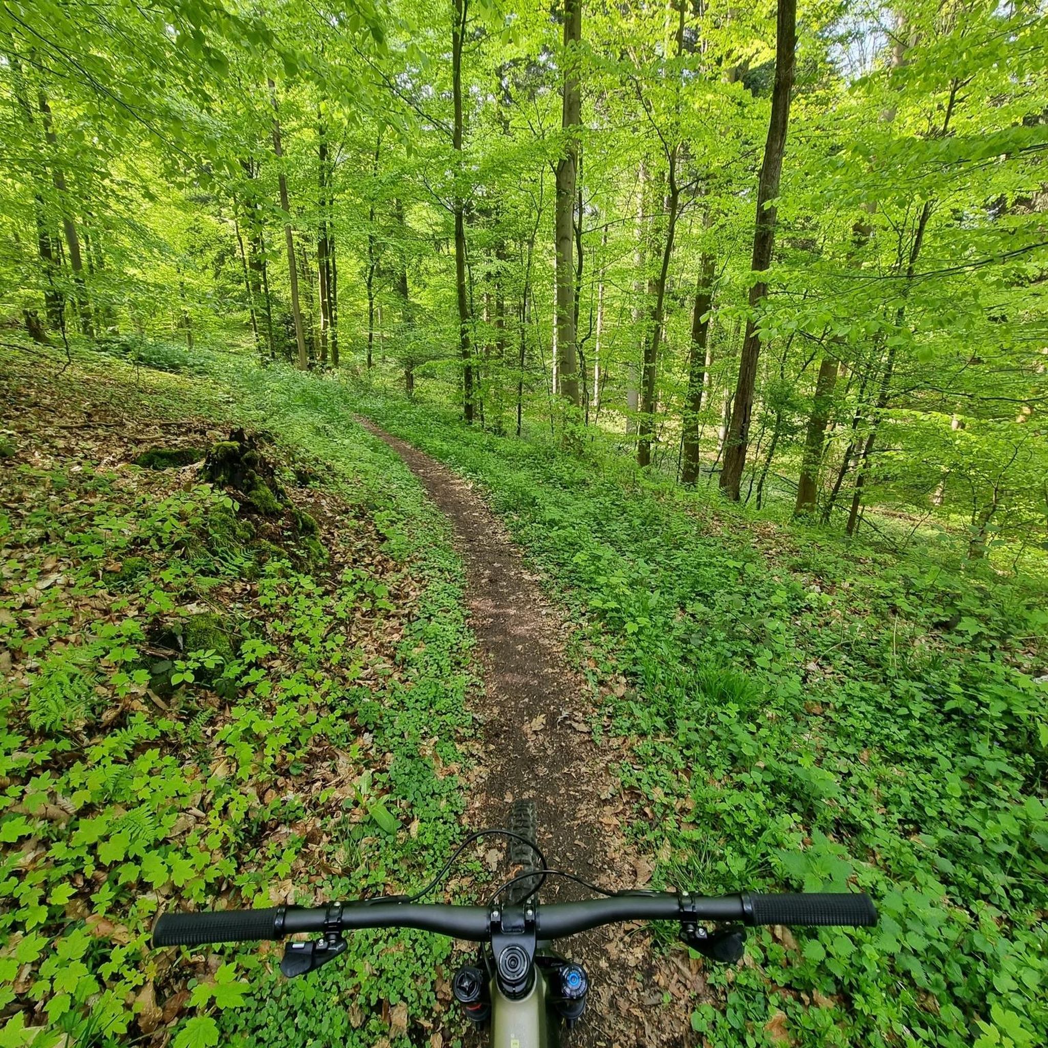
A beautiful, steady climb through the forest to Frauenkappelen. Little motorized traffic.
0
0
Beautiful quarry lake with barbecue areas
0
0
Beautiful surroundings in the middle of nature. Practical bicycle stairs,
0
0
Frequently Asked Questions
How many touring cycling routes are available around Gempenach?
There are over 270 touring cycling routes in the Gempenach area, offering a wide variety of options for different preferences and fitness levels. The komoot community has explored more than 12,000 of these routes.
What is the general terrain like for touring cyclists in Gempenach?
The terrain around Gempenach is characterized by gentle Molasse heights, agricultural lands, and forested sections. You'll find a mix of open fields, wooded paths, and proximity to the Biberen river valley. The highest point, Breitfeld meadow hill, reaches 533 meters above sea level, providing varied landscapes for cycling.
What are the difficulty levels of touring cycling routes in Gempenach?
The routes in Gempenach cater to various abilities. You can find 48 easy routes, 151 moderate routes, and 80 more challenging routes, ensuring there's something for every touring cyclist.
What do other touring cyclists say about the routes in Gempenach?
The touring cycling routes in Gempenach are highly rated by the komoot community, with an average score of 4.6 stars from over 1,400 reviews. Cyclists often praise the diverse landscapes, from open agricultural fields to scenic forest paths, and the well-maintained tracks.
When is the best time of year to go touring cycling in Gempenach?
The region's blend of agricultural lands and forests makes it enjoyable for cycling through much of the year. Spring and autumn offer pleasant temperatures and beautiful scenery, while summer provides longer daylight hours. Always check local weather conditions before heading out.
What historical landmarks or natural features can I explore while cycling near Gempenach?
While cycling near Gempenach, you can discover several interesting spots. The historic Grengspitz is nearby, and you can also find natural highlights like the Mont Vully and the Auried Nature Reserve. The broader region also offers attractions such as the well-preserved Murten Old Town and the scenic Lake Murten.
Are there any specific viewpoints or scenic spots along the touring routes?
Yes, the region is known for its rolling hills and great vantage points. Routes often provide picturesque views of Lake Murten and the surrounding agricultural landscape. The Breitfeld meadow hill, at 533 meters above sea level, offers elevated perspectives of the area.
Are there family-friendly touring cycling routes suitable for all ages?
With 48 easy routes available, Gempenach offers several family-friendly touring cycling options. These routes typically feature gentler gradients and well-maintained paths, perfect for cyclists of all ages to enjoy the scenic countryside.
Can I bring my dog on touring cycling routes in Gempenach?
Many touring cycling routes in Gempenach, especially those through forests and open agricultural areas, are suitable for cycling with dogs. However, it's always recommended to keep dogs on a leash, especially near livestock or in nature reserves, and to check local regulations for specific areas.
What are the options for parking when starting a touring cycling route in Gempenach?
While specific parking details for every route vary, Gempenach and nearby towns like Murten offer public parking facilities. It's advisable to check parking availability and regulations for your chosen starting point before your tour.
Is Gempenach accessible by public transport for cyclists?
Gempenach is part of the broader Murten region, which has public transport connections. Cyclists can often use regional trains or buses to reach starting points, though it's recommended to check the specific public transport provider's rules regarding bicycle transport.
Are there any circular touring cycling routes around Gempenach?
Yes, many touring cycling routes in the Gempenach area are designed as loops, allowing you to start and end at the same point. An example is the View of the Alps – Graffiti Wall Pathway Bern loop from Ferenbalm, which offers diverse scenery.
Are there any routes that offer views of the Aare river?
Yes, the Aare at Wohlensee – Gümmenen Covered Wooden Bridge loop from Ferenbalm is a moderate 25.6 km route that provides scenic views of the Aare river at Wohlensee, in addition to passing by the historic Gümmenen Covered Wooden Bridge.
Most popular routes around Gempenach
Most popular attractions around Gempenach

Get inspired with the komoot mobile app


Explore more
Browse the best Cycling routes in other regions.
