The best walks and hikes around Gellnhausen
4.6
(1091)
3,937
hikers
442
hikes
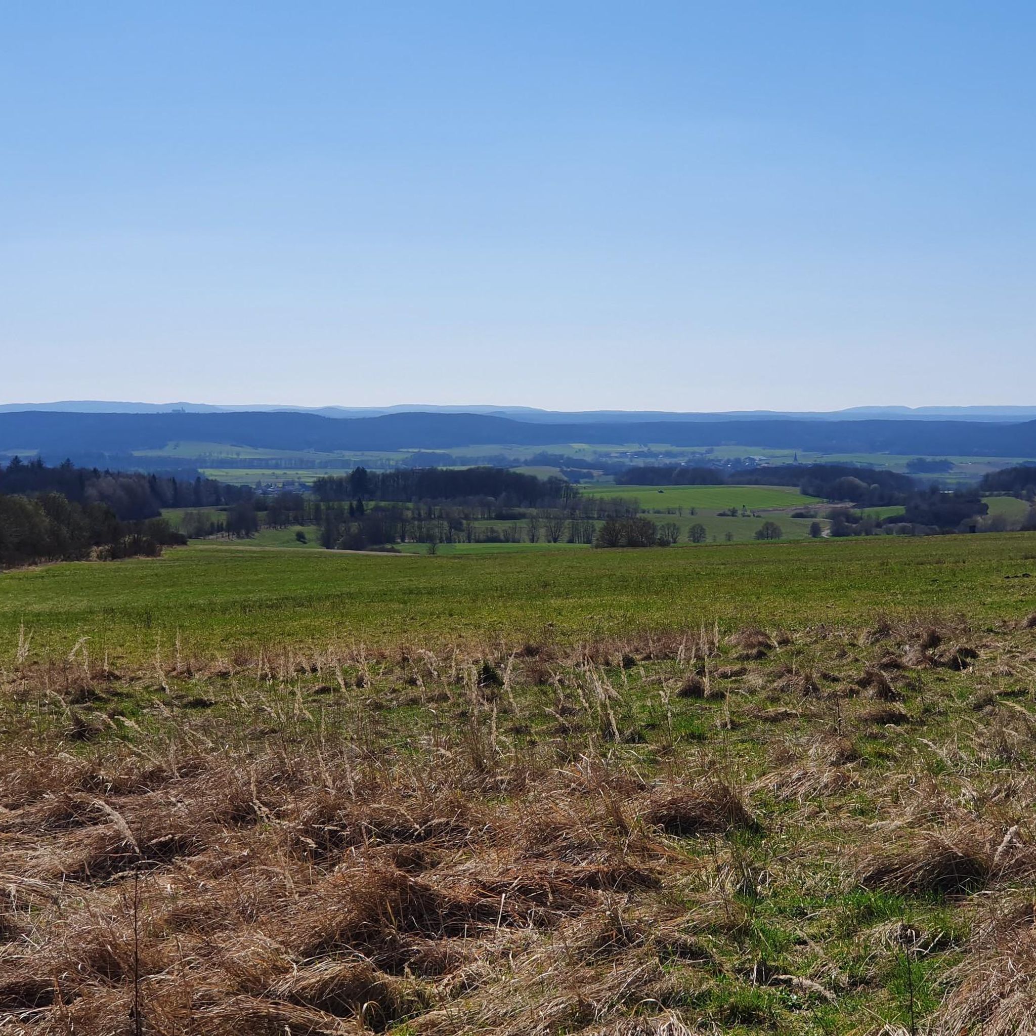
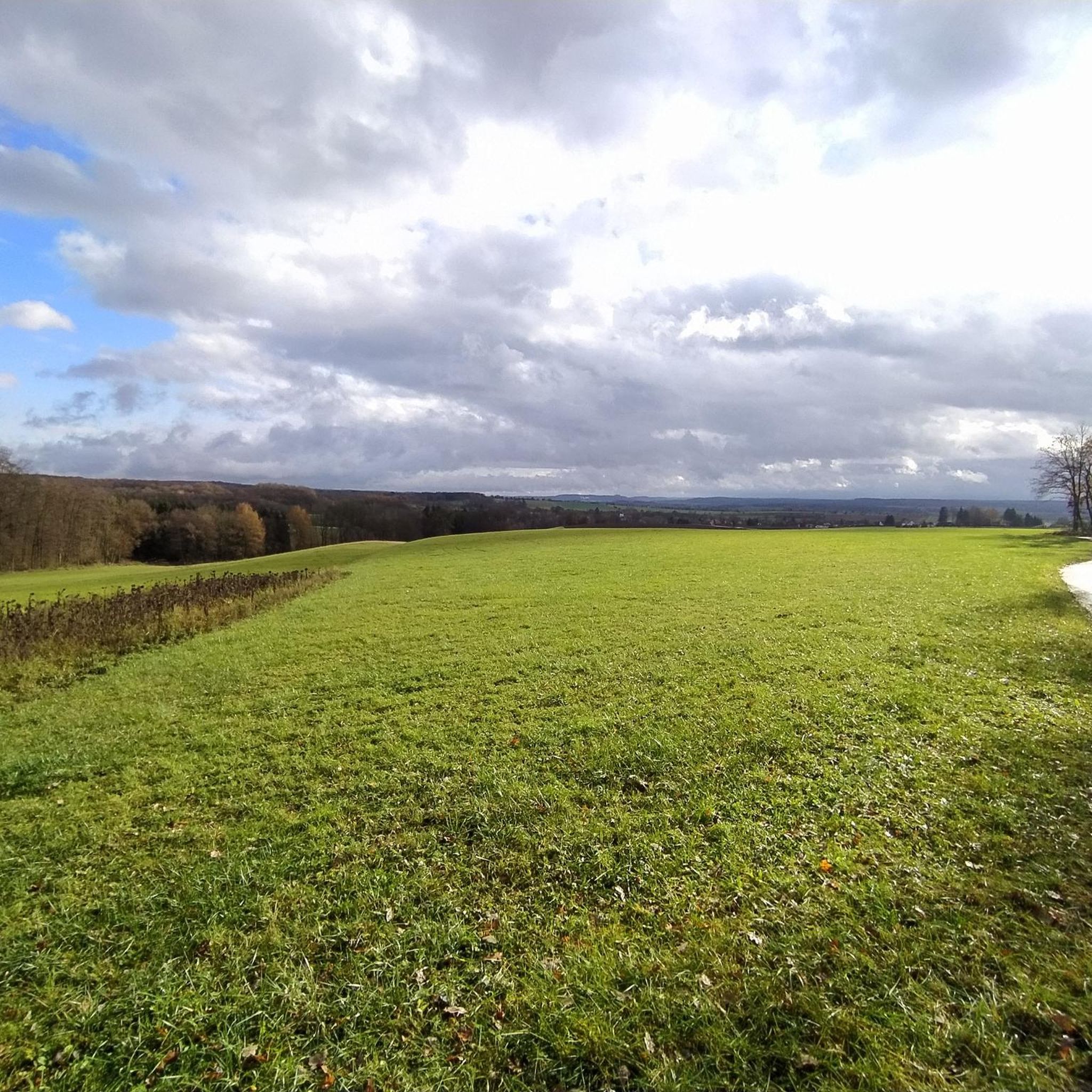
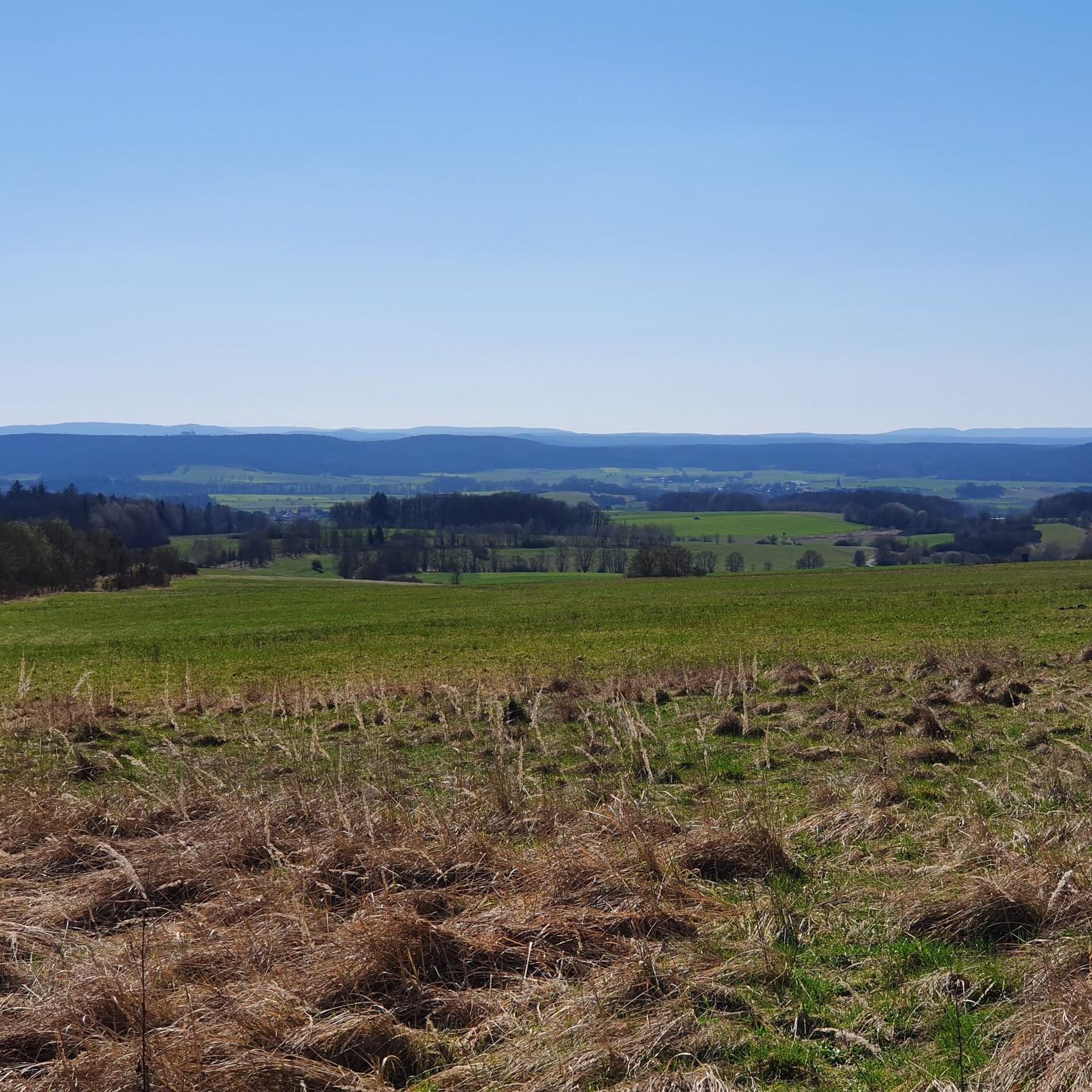
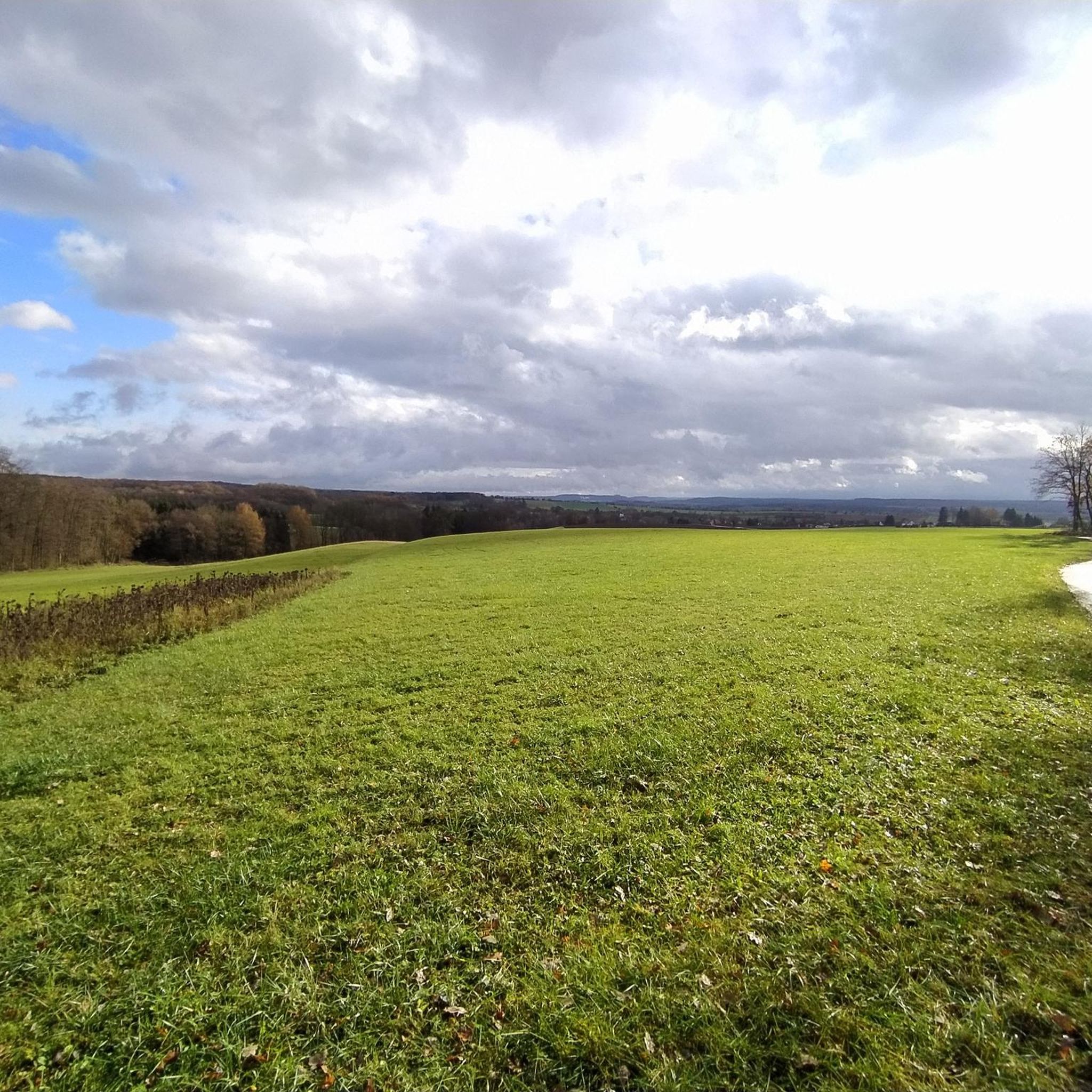
Hiking around Gellnhausen provides access to diverse landscapes, nestled between wooded hills and picturesque river valleys. The region is characterized by lush forests, open meadows, and the Kinzig River, offering varied terrain for outdoor activities. Hikers can explore areas bordering the Hessian Spessart Nature Park, with trails ranging from gentle riverside paths to routes through more elevated woodlands.
Best hiking trails around Gellnhausen
- The most popular hiking route is Massenhausen Border Village – St. Marien Church Eishausen loop from Adelhausen…
Last updated: June 27, 2026
4.4
(7)
17
hikers
Moderate hike. Good fitness required. Easily-accessible paths. Suitable for all skill levels.
5.0
(4)
8
hikers
Moderate hike. Good fitness required. Easily-accessible paths. Suitable for all skill levels.

Sign up for free
5.0
(1)
9
hikers
Moderate hike. Good fitness required. Easily-accessible paths. Suitable for all skill levels.
4.0
(3)
8
hikers
4.79km
01:17
50m
50m
Easy hike. Great for any fitness level. Easily-accessible paths. Suitable for all skill levels.
5.0
(1)
2
hikers
Easy hike. Great for any fitness level. Easily-accessible paths. Suitable for all skill levels.
Get access to more routes and recommendations from other explorers.
Sign up for free
Already have an account?
Our route recommendations are based on thousands of hikes, rides, and runs completed by other people on komoot.
Start today with a free account
Your next adventure awaits.
Login or Signup

Tips from the Community

The fountain dominates the square opposite the town hall.
14
0
On the side of the town hall is the carillon, consisting of fifteen bells. These symbolize the 15 districts of Bad Rodach. The carillon symbolizes the unity of the town of Bad Rodach and commemorates the completion of the municipal reform in 1978. This declaration can be found beneath the carillon.
13
0
The Evangelical Lutheran parish church of St. John in Bad Rodach was first documented as a parish church in 1350. The current nave dates from the mid-18th century.
13
0

Right next to the miniature museum in the town center 😊
0
0
Simply a real eye-catcher, very beautiful 🤩
0
0
A beautiful building, well preserved and a real eye-catcher 😊
0
0
Beautiful church, nice that it is easily accessible for everyone 👍
0
0
Located directly behind the hunting lodge 👍
0
0
Frequently Asked Questions
How many hiking trails are available around Gelnhausen?
There are over 430 hiking routes around Gelnhausen, offering a wide variety of options for all skill levels. The komoot community has rated these trails highly, with an average score of 4.6 stars.
What types of terrain can I expect on hikes in Gelnhausen?
Gelnhausen's hiking trails offer diverse terrain, ranging from gentle paths along the Kinzig River and through open meadows to more elevated routes within wooded hills. You'll find a mix of lush forests, river valleys, and areas bordering the Hessian Spessart Nature Park.
Are there easy hiking routes suitable for beginners or families in Gelnhausen?
Yes, Gelnhausen offers many easy hiking routes. Over 220 of the available trails are classified as easy. An example is the Luther Lime Tree Heldritt loop from Heldritt, which is an easy 3.6-mile (5.9 km) path winding through natural settings.
What historical landmarks or natural features can I see along the hiking trails in Gelnhausen?
Hiking around Gelnhausen allows you to explore significant historical sites and natural beauty. You can encounter the 12th-century Imperial Palace (Kaiserpfalz), the well-preserved medieval old town with its Hexenturm (Witch Tower) and Marienkirche (St. Mary's Church), and even a Celtic rampart. Natural features include the scenic Kinzig Valley, the Kinzigsee for swimming, and the Ruhlsee bird sanctuary. For specific historical sites, you might explore highlights like Heldburg Fortress or Eisfeld Castle.
Are there any circular walks available in Gelnhausen?
Yes, many of the hiking routes in Gelnhausen are circular, allowing you to start and end at the same point. The Massenhausen Border Village – St. Marien Church Eishausen loop from Adelhausen is a popular moderate circular route, and the "Gelnhäuser Rundweg and Kulturweg Gelnhausen" is a captivating 12 km loop trail that combines landscapes with history.
What is the best time of year to go hiking in Gelnhausen?
The best seasons for hiking in Gelnhausen are spring and autumn. During these times, temperatures are mild, and the natural scenery is particularly vibrant, with lush greenery in spring and colorful foliage in autumn. The region's forests are especially enchanting during the autumn months.
Are there any viewpoints offering panoramic views in Gelnhausen?
Yes, several trails in the Gelnhausen area offer breathtaking panoramic views. You can find routes that provide vistas over Gelnhausen itself, and on clear days, some trails extend views as far as the Frankfurt and Ronneburg skylines. The "Gelnhäuser Waldbalkon Loop" is known for its views over the town.
What do other hikers enjoy most about the trails in Gelnhausen?
The komoot community highly rates the hiking experience in Gelnhausen, with an average score of 4.6 stars from over 900 reviews. Hikers often praise the diverse landscapes, the well-maintained network of trails, and the combination of natural beauty with historical attractions like the Imperial Palace and medieval town.
Can I reach hiking trails in Gelnhausen using public transport?
Gelnhausen is well-connected, and some hiking trails are accessible via public transport. The "Kinzigtaler Rad-und-Wanderweg" (Kinzigtal Cycle and Hiking Trail), for instance, runs along the Kinzig River and is easily reachable, making it suitable for those relying on public transport.
Are there places to stop for refreshments or shelter along the trails?
While specific cafes or pubs directly on every trail are not detailed, the region does have huts and shelters. For example, you might find places like Alexandrinen Hut on Sennigshöhe or the Grünes Haus Pavilion, which can offer a place to rest during your hike.
Are there any long-distance hiking options in the Gelnhausen area?
Yes, Gelnhausen is part of a larger network that includes long-distance routes. The "Kinzigtaler Rad-und-Wanderweg" stretches along the Kinzig River, offering extensive options for both cyclists and pedestrians. Additionally, portions of the historic Way of St. James through Hesse pass through the area.
Most popular routes around Gellnhausen
Most popular attractions around Gellnhausen

Get inspired with the komoot mobile app


Explore more
Browse the best Hikes in other regions.
