The best road cycling routes around gmina gmina gmina Olecko
4.8
(5)
106
riders
23
rides
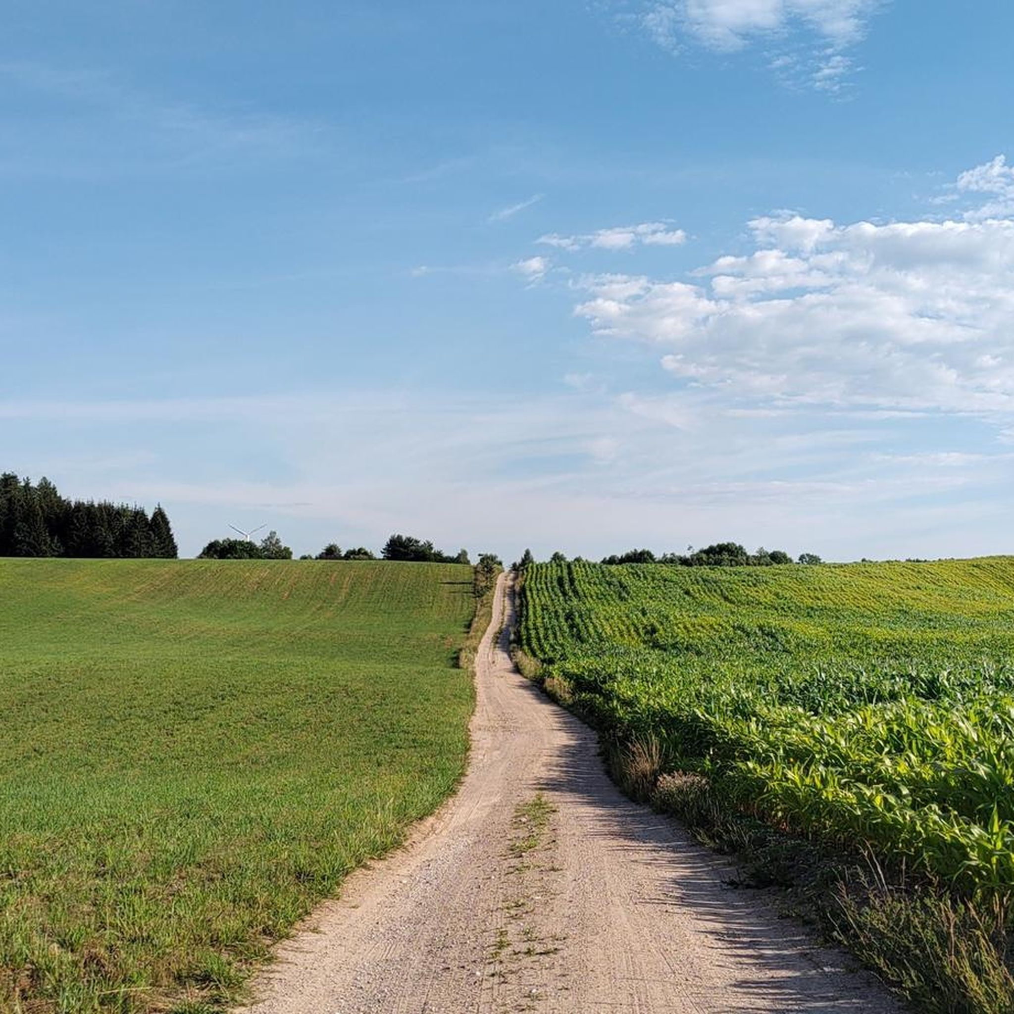
Road cycling around gmina gmina gmina Olecko offers varied terrain shaped by past glaciations, featuring a hilly landscape with elevations ranging from 121 meters to 220 meters. The region is characterized by numerous lakes, including Lake Olecko Wielkie, and extensive forest areas, providing a diverse environment for road cyclists. Mostly paved surfaces define the cycling infrastructure, making it suitable for exploring the natural charm of northeastern Poland.
Best road cycling routes around gmina gmina gmina Olecko
- The most popular road…
Last updated: October 26, 2026
20
riders
Hard road ride. Very good fitness required. Some segments of this route may be unpaved and difficult to ride.
7
riders
81.8km
03:14
400m
400m
Moderate road ride. Good fitness required. Mostly well-paved surfaces and easy to ride.

5.0
(1)
7
riders
71.4km
03:06
450m
450m
Moderate road ride. Good fitness required. Some segments of this route may be unpaved and difficult to ride.
5
riders
56.9km
02:18
290m
290m
Moderate road ride. Good fitness required. Mostly well-paved surfaces and easy to ride.
4.0
(1)
4
riders
43.8km
01:47
260m
260m
Easy road ride. Mostly well-paved surfaces and easy to ride.
Get access to more routes and recommendations from other explorers.
Already have an account?
Our route recommendations are based on thousands of hikes, rides, and runs completed by other people on komoot.
Start today with a free account
Your next adventure awaits.
Tips from the Community

To my knowledge, this viaduct is located in Pobłędzie.
1
0
Actually, a puzzling investment. A viewing tower in the middle of a plain, without particularly interesting views. On the other hand, built with a flourish, a nice resting spot, shelter, maps, etc.
0
0

Beware of the electric fence.
0
0

Fairytale land! Recommend visiting.
0
0

A fascinating, though lesser-known, element of former Prussian railway infrastructure. This structure was located on the historic line connecting Gołdap with Żytkiejmy. The bridge was part of the so-called Third Transport Corridor of East Prussia. This line ran through the picturesque, undulating terrain of the Garbate Mazury region, bordering the Romincka Forest. Regular passenger traffic ceased here during World War II. In 1945, the retreating Red Army dismantled the tracks and carted them away as war booty, leading to the final liquidation of the line. Today, in Skajzgiry, remnants of the bridgeheads and foundations can be found, slowly disappearing into the undergrowth. The site lies on the so-called Broken Semaphore Trail, which attracts railway tourism and history enthusiasts.
1
0

A relaxing spot on Lake Garbas. It features benches, shelters, and a pier. It's the perfect place for a break surrounded by nature. Lake Garbas is a long, channel lake in the West Suwałki Lake District, with the picturesque Rospuda River flowing through it.
1
0
The bridges in Stańczyki, often called the "Aqueducts of the Romincka Forest," are among the highest railway bridges in Poland – 180 meters long and reaching a height of 36.5 meters. Built between 1912 and 1918 in a style reminiscent of Roman aqueducts, they were intended to be part of a major railway line, but the line operated only as a local route until 1945. Today, the tracks no longer exist, and the impressive structures have become a tourist attraction and a bungee jumping site. Situated on the Błędzianka River and surrounded by picturesque scenery, they are a destination for bicycle tours and a good place to rest. Admission to the bridges is charged, but the view and history of the site are definitely worth a visit.
2
0

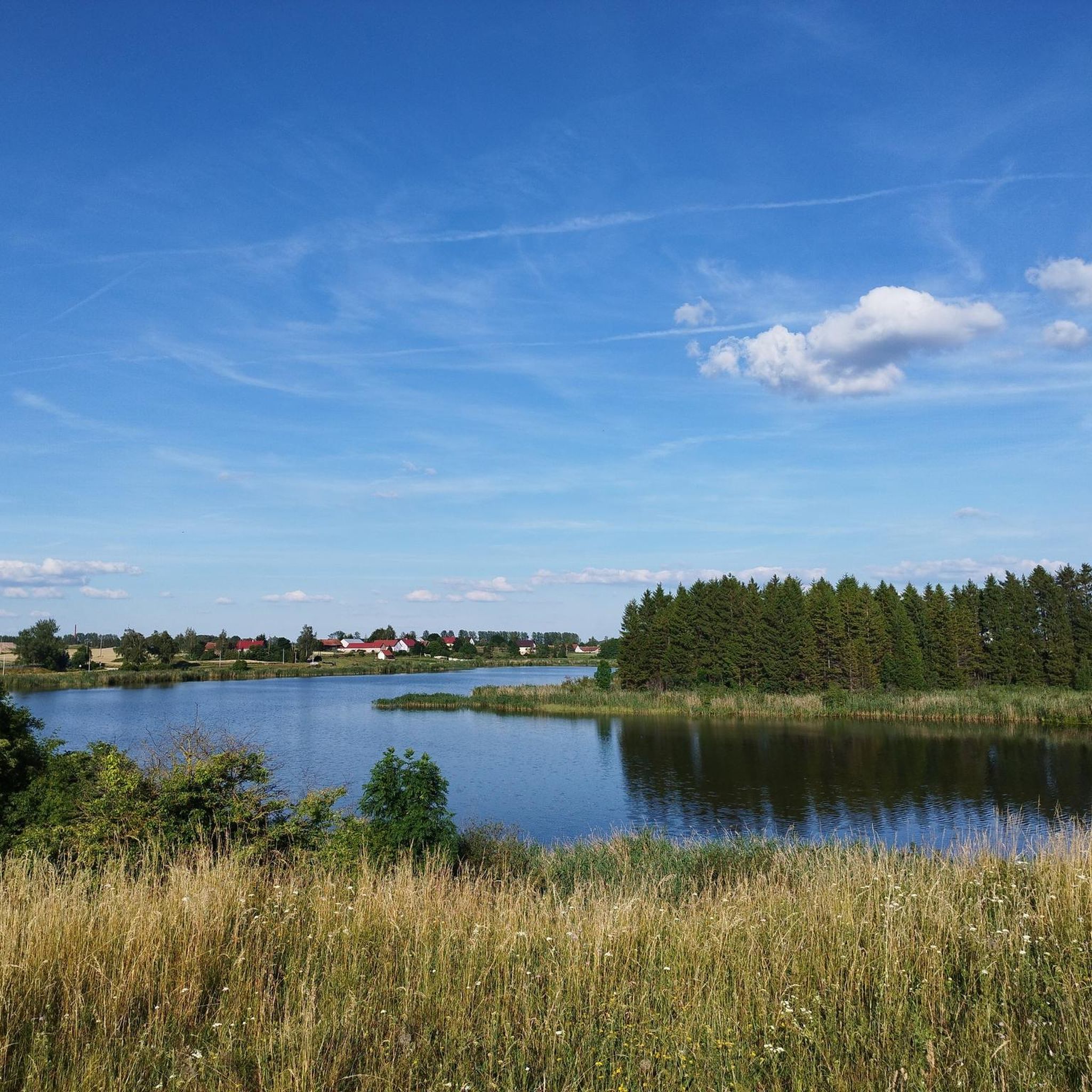
The lake is quite a large reservoir by Polish standards. It has 940 hectares of water surface. The average depth is 9.6 meters, and the maximum is 43.7 meters. The lake is roughly rectangular in shape with a large bay facing north. The main inflow is Łaźna Struga, the upper section of the Ełk River, and the outflow is the Ełk. In the south, the lake connects with Lake Straduńskie by a short section of this river. In the west, it connects with Lake Ułówki by a strait. There are two islands on the lake with a total area of 3.2 hectares. https://jeziorapolski.pl/jezioro-lasmiady/
2
0
Frequently Asked Questions
How many road cycling routes are available in Gmina Olecko?
Gmina Olecko offers a diverse selection of over 20 road cycling routes, catering to various skill levels and preferences. These routes allow you to explore the region's unique landscapes.
What is the best time of year for road cycling in Gmina Olecko?
The months of May and June are particularly popular for road cycling in Gmina Olecko. During this period, the weather is generally favorable, allowing cyclists to fully enjoy the region's natural beauty.
What kind of terrain can I expect on road cycling routes in Gmina Olecko?
The terrain in Gmina Olecko is varied and shaped by past glaciations, featuring a hilly landscape with elevations ranging from 121 meters to 220 meters. You'll find mostly paved surfaces, making it suitable for road cycling, with some routes incorporating sections of gravel for a mixed experience.
Are there road cycling routes suitable for beginners or less experienced cyclists?
Yes, Gmina Olecko offers routes suitable for all abilities. There are at least 2 easy road cycling routes available. For example, the Beach by the Lake – School Sports Courts loop from Olecko is an easy option, covering about 42.8 km.
What natural features or landmarks can I see along the road cycling routes in Gmina Olecko?
Road cycling routes in Gmina Olecko often pass by numerous lakes, including the central Lake Olecko Wielkie, and extensive forest areas. You might encounter the Wooden Bridge at the Outflow of the Lega River, which is part of the Wiewiórcza Ścieżka, or the City Beach in Olecko, a popular recreational spot.
Are there any specific points of interest or scenic viewpoints recommended for cyclists?
Absolutely. Many routes offer scenic views of the region's lakes, such as Lake Łaśmiady, which you can admire on routes like the View of Lake Łaśmiady loop from Piaski. The Wiewiórcza Ścieżka around Lake Olecko Wielkie also features a viewing platform, providing excellent panoramic opportunities.
Are there any circular road cycling routes in Gmina Olecko?
Yes, many of the road cycling routes in Gmina Olecko are designed as loops, offering convenient circular journeys. Examples include the View of Lake Łaśmiady loop from Piaski and the Czarne Lakes – Beach in Pluszkiejmy loop from gmina Filipów.
What is the elevation profile like for road cycling in Gmina Olecko?
The region features a hilly terrain with elevations ranging from 121 meters to 220 meters within the gmina. This means you can expect varied elevation profiles on the routes, with some offering moderate climbs. For instance, the View of Lake Łaśmiady – Gravel Road loop from Olecko includes over 430 meters of ascent.
Is public transport accessible for reaching cycling routes in Gmina Olecko?
While specific public transport connections to every route start point may vary, Olecko itself is a regional hub. It's advisable to check local bus schedules or regional train services for connections to the main towns or starting points of the routes.
Can I find places to eat or rest along the cycling routes in Gmina Olecko?
Yes, the region is well-equipped for visitors. Towns like Olecko offer various amenities, including cafes, pubs, and accommodation options. The City Beach in Olecko is a popular spot with facilities, often serving as a starting point or scenic stop for routes.
What do other road cyclists enjoy the most about road cycling in Gmina Olecko?
The road cycling experience in Gmina Olecko is highly rated by the komoot community, with an average score of 5.0 stars. Cyclists often praise the varied terrain, the picturesque lakes, and the extensive forest areas that contribute to a clean microclimate, making for enjoyable and scenic rides.
Are there any family-friendly road cycling routes in Gmina Olecko?
Yes, Gmina Olecko offers routes suitable for families. The region's mostly paved surfaces and options for easier routes make it accessible. The Beach by the Lake – School Sports Courts loop from Olecko is an example of an easy route that could be suitable for families.
Most popular routes around gmina gmina gmina Olecko
Most popular attractions around gmina gmina gmina Olecko

Get inspired with the komoot mobile app


Explore more
Browse the best Road cycling routes in other regions.
