The best walks and hikes around Miłomłyn
4.7
(78)
1,027
hikers
85
hikes
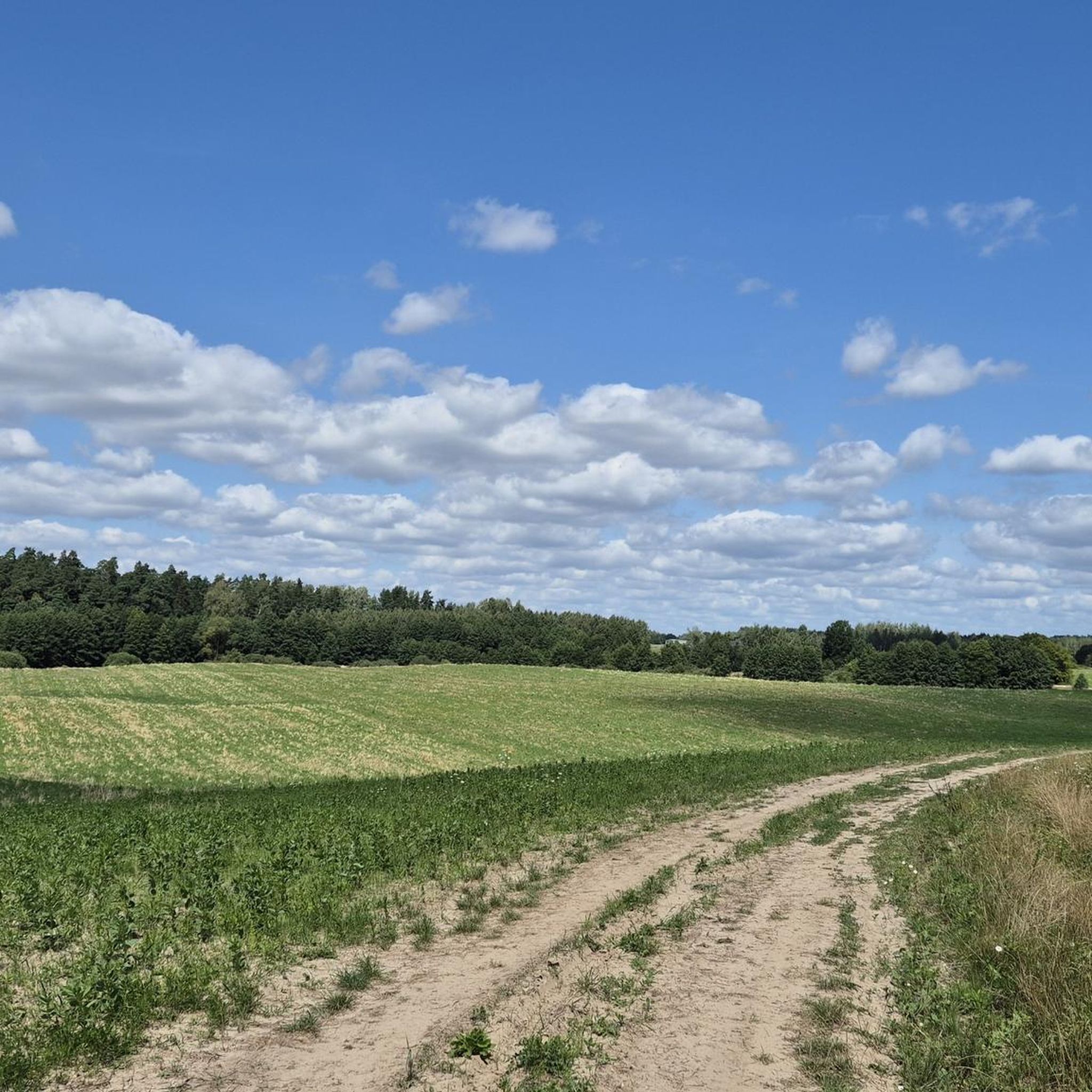
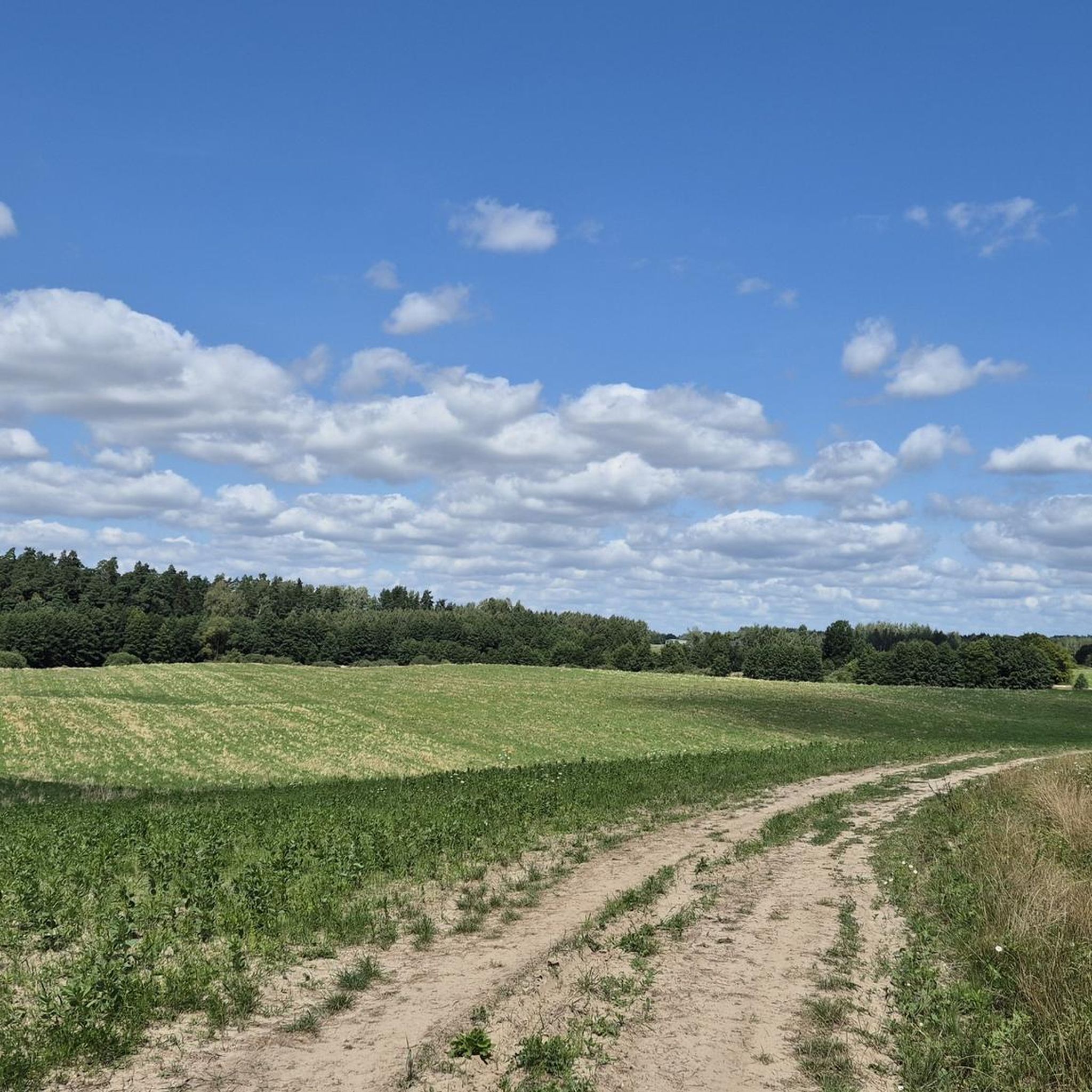
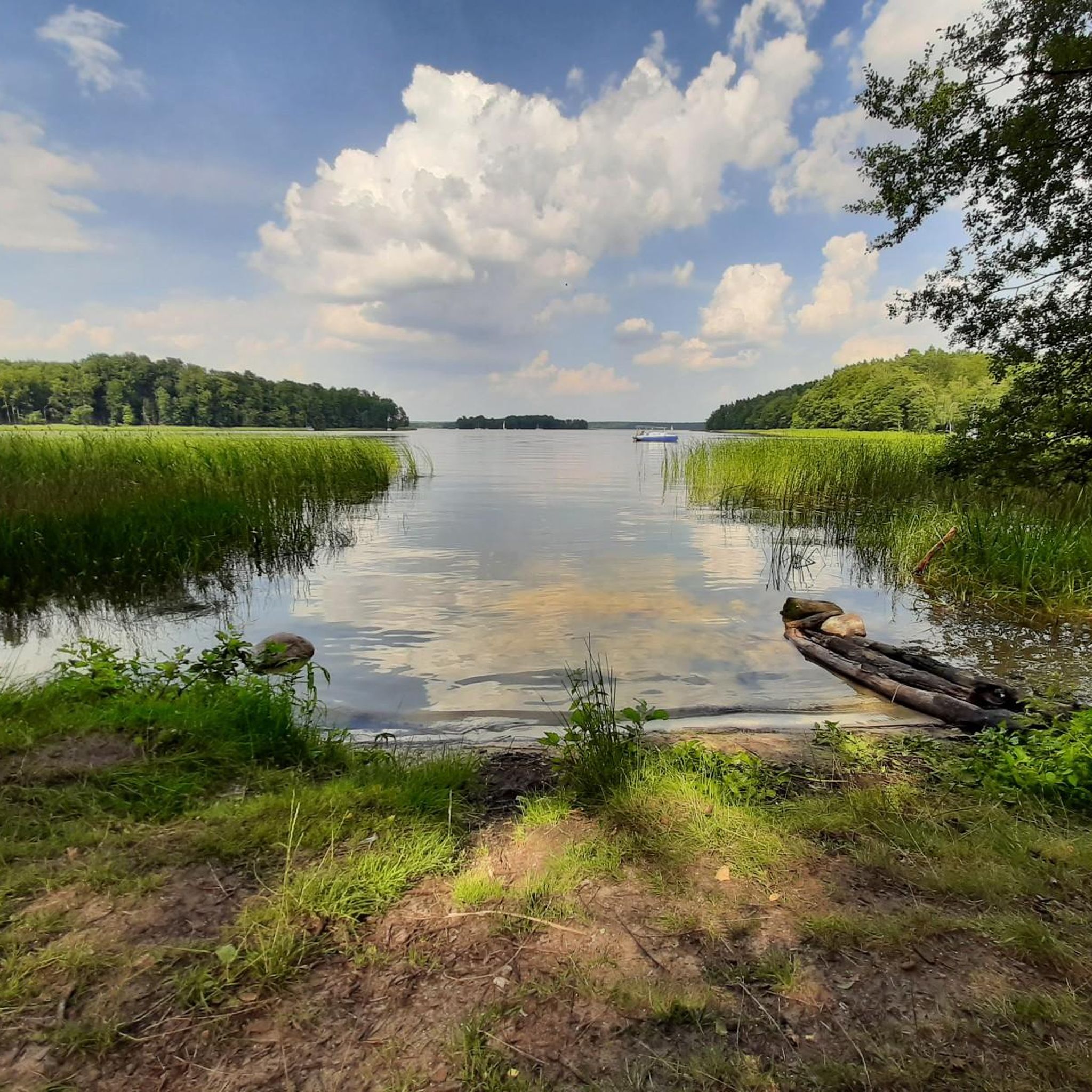
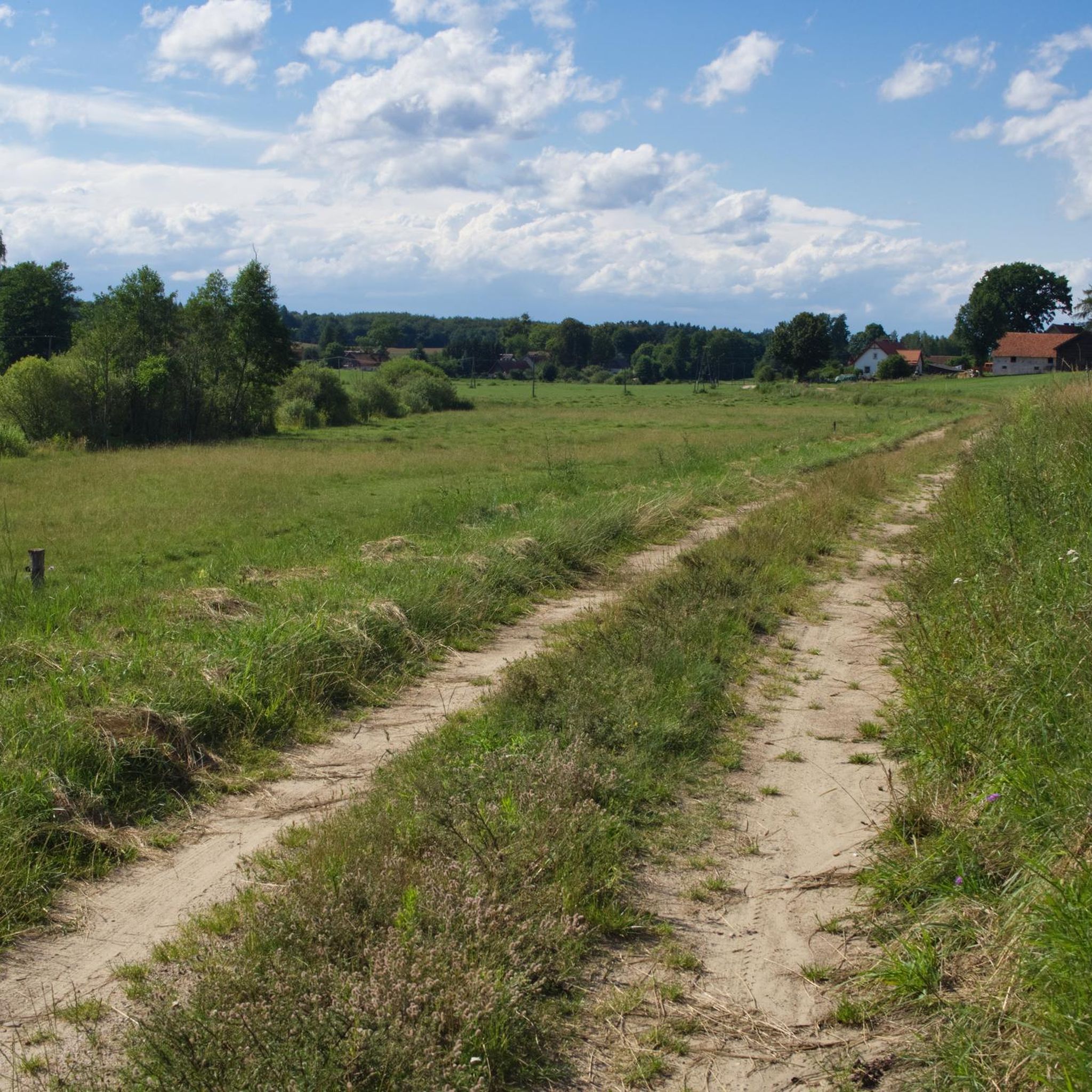
Hiking around Miłomłyn offers diverse landscapes within the Iława Lake District, characterized by extensive forests, numerous lakes, and the historic Elbląg Canal. The region features varied forest environments, including specific tree stands and wetlands, providing habitats for diverse wildlife. Trails often lead along waterways, offering unique perspectives of the canal system and natural areas. This area provides a network of paths suitable for exploring its natural and historical features.
Best hiking trails around Miłomłyn
- The most popular hiking route is…
Last updated: July 9, 2026
5.0
(4)
30
hikers
8.49km
02:13
60m
60m
Moderate hike. Good fitness required. Easily-accessible paths. Suitable for all skill levels.
5
hikers
4.89km
01:16
30m
30m
Easy hike. Great for any fitness level. Easily-accessible paths. Suitable for all skill levels.

Sign up for free
5.0
(4)
14
hikers
3.43km
00:55
30m
30m
Easy hike. Great for any fitness level. Easily-accessible paths. Suitable for all skill levels.
5.0
(1)
3
hikers
6.27km
01:36
20m
20m
Easy hike. Great for any fitness level. Easily-accessible paths. Suitable for all skill levels.
4
hikers
6.55km
01:42
40m
40m
Easy hike. Great for any fitness level. Easily-accessible paths. Suitable for all skill levels.
Get access to more routes and recommendations from other explorers.
Sign up for free
Already have an account?
Our route recommendations are based on thousands of hikes, rides, and runs completed by other people on komoot.
Start today with a free account
Your next adventure awaits.
Login or Signup



Frequently Asked Questions
How many hiking trails are there in Miłomłyn?
Miłomłyn offers a wide selection of hiking opportunities, with over 70 trails available for exploration. These routes cater to various preferences, ranging from easy strolls to more challenging hikes.
What is the best time of year to hike in Miłomłyn?
The region is beautiful throughout the year, but spring and autumn are particularly pleasant for hiking. Spring brings lush greenery and blooming flora, while autumn offers vibrant forest colors. The diverse landscapes, including forests and lakes, provide scenic views in all seasons.
Are there easy hiking trails suitable for beginners or families in Miłomłyn?
Yes, Miłomłyn has many easy hiking options, with over 50 trails classified as easy. These are perfect for beginners or families with children. For example, the Jezioro Gil Wielki loop from Ostrów Wielki is an easy 3.0-mile path offering pleasant lakeside scenery and forest sections.
Are there circular hiking routes in Miłomłyn?
Many trails in Miłomłyn are designed as circular routes, allowing you to start and end at the same point. The Yellow Hiking Trail (13.2 km) and the Blue Walking Trail (7.3 km) are both loops that start in Miłomłyn and explore the surrounding forests and natural areas. The Graduation tower loop from Iląg is another popular circular option.
What natural features can I expect to see while hiking in Miłomłyn?
Miłomłyn is characterized by its diverse natural landscapes. You'll encounter extensive forests, covering 38% of the commune, with specific tree stands like the towering Taborska pines. The region also boasts numerous lakes, such as Lake Srebrne, and trails often lead through wetlands, creating an impression of pristine wilderness. The historic Elbląg Canal system, including the Iławski Canal with its causeway across Lake Karnickie, is another prominent feature.
Are there any historical or cultural attractions near the hiking trails?
The most significant historical attraction is the Elbląg Canal, an engineering marvel from the 19th century. A 'therapeutic walking route' in Miłomłyn follows an embankment that was once a railway line, offering unique views of the canal system. Additionally, the Ostróda Lakeside Promenade and the Ostróda Teutonic Castle are within reach for those looking to explore further.
What kind of wildlife might I encounter on the trails in Miłomłyn?
The lush forests and wetlands of Miłomłyn are home to diverse wildlife. Hikers might spot deer, wild boars, roe deer, and fallow deer. More observant visitors could encounter otters and European pond turtles. The area is also close to the ornithological reserve of Lake Iłgi, where various water and marsh birds breed, and white-tailed eagles can be seen soaring above.
What do other hikers enjoy most about hiking in Miłomłyn?
The hiking trails in Miłomłyn are highly rated by the komoot community, with an average score of 4.6 stars from over 50 reviews. Hikers often praise the region's diverse landscapes, including the quiet forests and scenic lakes, as well as the unique experience of walking alongside the historic Elbląg Canal.
Can I bring my dog on the hiking trails in Miłomłyn?
Generally, dogs are welcome on most hiking trails in Miłomłyn, especially in the extensive forest areas. However, it's always advisable to keep your dog on a leash, especially in areas with wildlife or near other hikers, and to check for any specific local regulations or protected areas where restrictions might apply.
Is there parking available near the trailheads in Miłomłyn?
While specific parking information for every trailhead isn't detailed, Miłomłyn, as a local hub, typically offers parking options within the town or at designated points near popular trail starting locations. It's recommended to check local signage or maps for the most convenient parking spots when planning your hike.
Are there any specific viewpoints or scenic spots along the trails?
Yes, the region offers several scenic spots. The causeway across Lake Karnickie, part of the Iławski Canal, provides unique views. Trails leading to Lake Srebrne offer opportunities for rest and enjoying the lakeside scenery. The embankment along the 'therapeutic walking route' also provides picturesque views between parts of the Ilińsk and Jelonek lakes.
How can I find out about public transport options to reach hiking trails in Miłomłyn?
For public transport information to reach hiking trails in Miłomłyn, it's best to consult local bus schedules or regional transport websites. Miłomłyn is a commune center, so there are likely connections to nearby towns, but specific routes to trailheads may require local inquiry or a short taxi ride.
What are some of the named hiking trails in the Miłomłyn area?
Miłomłyn features several marked trails. These include the Yellow Hiking Trail (13.2 km loop), the Blue Walking Trail (7.3 km loop), a Black trail leading towards Lake Srebrne, and a Red trail spanning 24.3 km. Miłomłyn is also part of the 'Great Ostróda Loop,' a green trail that passes through the western part of the commune.
Most popular routes around Miłomłyn
Most popular attractions around Miłomłyn

Get inspired with the komoot mobile app


Explore more
Browse the best Hikes in other regions.
