The best walks and hikes around Chodzież
4.6
(65)
614
hikers
77
hikes
Hiking around Chodzież offers diverse natural landscapes, characterized by postglacial landforms including rolling hills and varied terrain. The region features dense forests of pines and mixed woodlands, providing an environment for hiking. Three lakes, Chodzieskie, Strzeleckie, and Karczewnik, are also prominent features, offering scenic routes. Mt. Gontyniec, a hill rising 192 meters above sea level, is the highest elevation in northern Poland and is surrounded by deep valleys and a beech forest.
Best hiking trails around Chodzież
- The most popular hiking route is Lovers' Bridge loop from Chodzież, a 3.9 miles (6.2 km) trail that takes 1 hour 36 minutes to complete. This easy route offers a pleasant walk around the local area.
- Another top favourite among local hikers is Steep Forest Path – Winding Forest Trail loop from Chodzież, a moderate 5.0 miles (8.0 km) path. This trail features varied forest terrain with notable elevation changes.
- Local hikers also love the Rest Area by the Lake – Strzeleckie Lake loop from Chodzież, a 5.0 miles (8.1 km) trail leading through forested areas and along the lake, often completed in about 2 hours 6 minutes.
- Hiking around Chodzież is defined by rolling hills, dense forests, and serene lakes. The network offers options for various ability levels, from easy walks to more challenging moderate trails.
- The routes in Chodzież are highly rated by the komoot community with an average score of 4.5 stars from over 50 reviews. More than 500 hikers have used komoot to explore Chodzież's varied terrain.
Last updated: May 15, 2026
5.0
(29)
136
hikers
6.22km
01:35
20m
20m
Easy hike. Great for any fitness level. Easily-accessible paths. Suitable for all skill levels.
5.0
(2)
23
hikers
8.05km
02:14
140m
140m
Moderate hike. Good fitness required. Easily-accessible paths. Suitable for all skill levels.

Sign up for free
9
hikers
8.13km
02:07
50m
50m
Moderate hike. Good fitness required. Easily-accessible paths. Suitable for all skill levels.
9
hikers
13.0km
03:31
180m
180m
Moderate hike. Good fitness required. Easily-accessible paths. Suitable for all skill levels.
9
hikers
12.1km
03:15
150m
150m
Moderate hike. Good fitness required. Easily-accessible paths. Suitable for all skill levels.
Get access to more routes and recommendations from other explorers.
Sign up for free
Already have an account?
Our route recommendations are based on thousands of hikes, rides, and runs completed by other people on komoot.
Start today with a free account
Your next adventure awaits.
Login or Signup
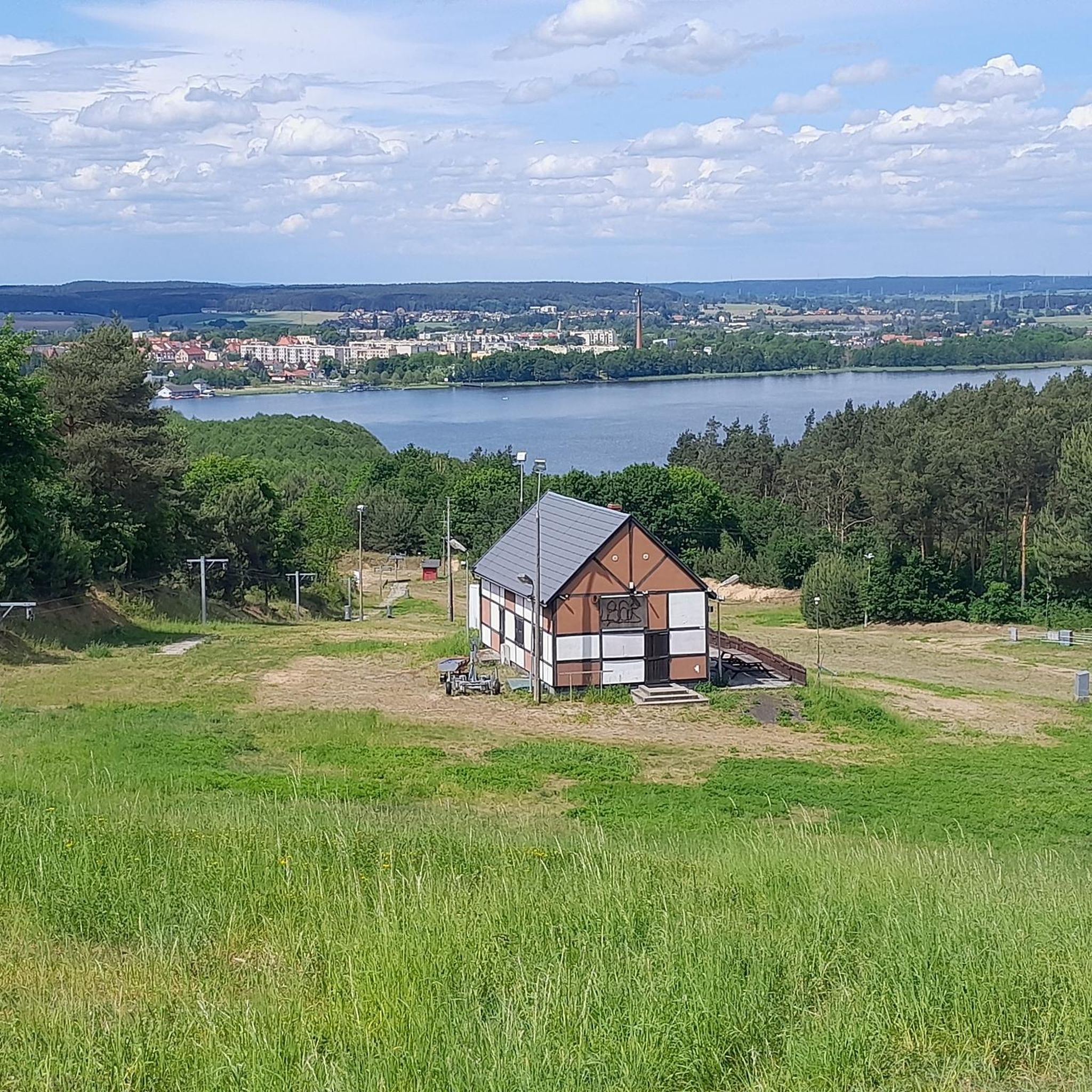

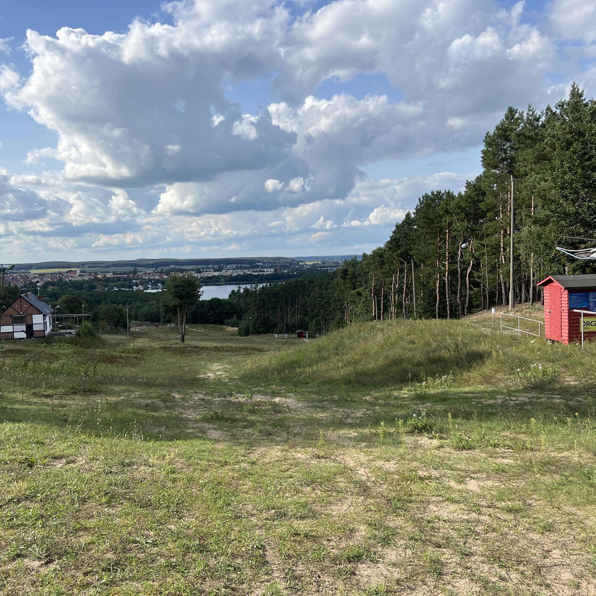
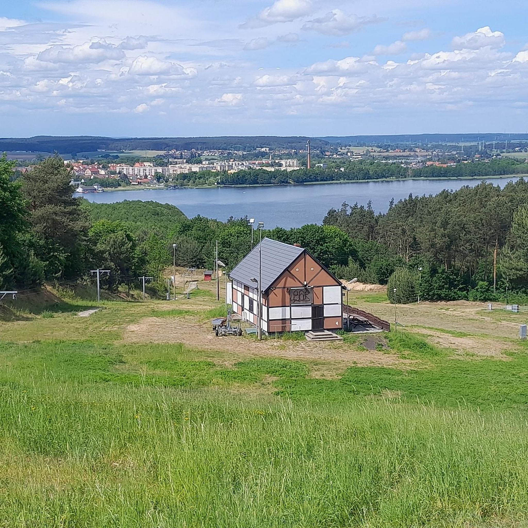

Tips from the Community

Accessible 24 hours a day by bike or on foot
0
0
Frequently Asked Questions
What kind of terrain can I expect on hiking trails around Chodzież?
The Chodzież region, often called "Chodzieska Switzerland," features diverse postglacial landscapes. You'll find a captivating mix of rolling hills, dense forests, and serene lakes. Trails vary from gentle paths around lakes to more challenging routes with notable elevation changes, especially in areas like the Gontyniec Summit.
How many hiking routes are available in the Chodzież area?
There are nearly 80 hiking routes documented around Chodzież. This includes a wide range of options, with over 50 easy trails perfect for casual walks and 27 moderate routes for those seeking more challenge. There is also one difficult trail for experienced hikers.
Are there any family-friendly hiking options in Chodzież?
Yes, Chodzież offers many easy trails suitable for families. These routes often feature gentle terrain and scenic views, such as the paths encircling the local lakes. The Lovers' Bridge loop from Chodzież is an easy 6.2 km walk that's popular for its pleasant local scenery.
What are the best times of year to go hiking in Chodzież?
Chodzież is beautiful year-round. Spring and autumn offer pleasant temperatures and vibrant natural colors, with extensive woodlands known for mushrooms and forest fruits in the autumn. Summer is ideal for combining hikes with water activities on the lakes. Even in winter, the Talerz hill transforms for skiing, and many trails remain accessible for crisp, scenic walks.
What interesting landmarks or natural features can I see while hiking in Chodzież?
Many routes pass by significant natural and historical sites. You can explore the Chodzież Market Square and St. Florian's Church, or hike towards the Gontyniec Summit for scenic views. The region's three main lakes—Chodzieskie, Strzeleckie, and Karczewnik—are also prominent natural features with trails along their shores.
Are there any circular hiking routes around Chodzież?
Yes, many of the trails in Chodzież are circular, offering convenient starting and ending points. For example, the Strzeleckie Lake – Rest Area by the Lake loop from Oleśniczka is a moderate 13.1 km circular trail that takes you through forested areas and along the lake.
What do other hikers say about the trails in Chodzież?
The hiking trails in Chodzież are highly regarded by the komoot community, holding an average rating of 4.5 stars from over 60 reviews. Hikers frequently praise the diverse landscapes, well-marked paths, and the serene environment of the forests and lakes.
Are there any trails that offer a bit more challenge or elevation gain?
For those seeking more challenging routes, the Chodzież area has moderate trails with notable elevation changes. The Steep Forest Path – Winding Forest Trail loop from Chodzież is a moderate 8.0 km path featuring varied forest terrain and significant ascents and descents.
Can I find trails that combine forest and lake views?
Absolutely. The region is known for its beautiful lakes nestled within dense forests. The Rest Area by the Lake – Strzeleckie Lake loop from Chodzież is a moderate 8.1 km route that perfectly blends forest paths with picturesque views of Strzeleckie Lake.
Are there any trails that lead to interesting viewpoints?
Yes, several trails offer rewarding viewpoints. The Gontyniec Summit, while not accessible via its fire tower, provides excellent views from its trails. Additionally, you can find scenic spots like the View of the Noteć River near Milcz, which can be incorporated into longer hikes.
Are there any trails that explore the local history or culture?
Many routes can be planned to include historical and cultural points of interest. The Chodzież Market Square and St. Florian's Church, with its Gothic and Baroque architecture, is a notable site that can be visited as part of a city walk or a longer trail passing through the town.
What kind of facilities can hikers expect along the trails?
The Chodzież region has a well-developed infrastructure for outdoor activities. Along many routes, you can find quaint huts offering refreshments and even overnight accommodations. The trails are generally well-marked, ensuring a pleasant hiking experience.
Most popular routes around Chodzież
Most popular attractions around Chodzież

Get inspired with the komoot mobile app


Explore more
Browse the best Hikes in other regions.
