The best walks and hikes around gmina gmina gmina Borne Sulinowo
4.8
(88)
878
hikers
40
hikes
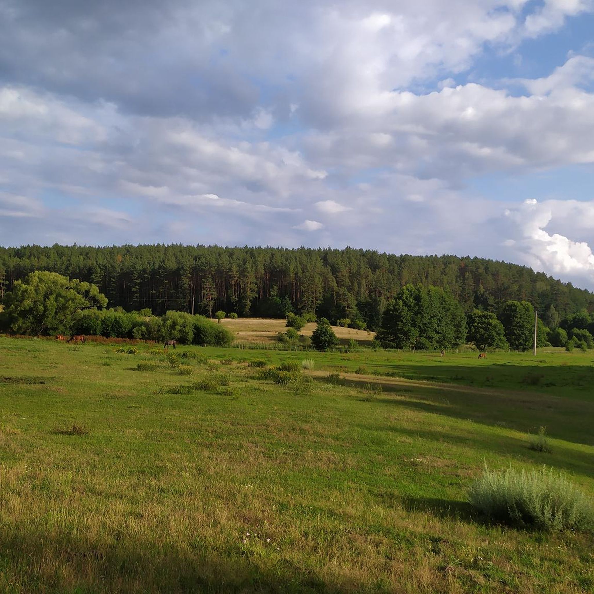
Hiking around gmina gmina gmina Borne Sulinowo offers diverse landscapes characterized by dense pine forests, expansive heathlands, and numerous lakes. The region features the large Lake Pile with its extensive shoreline, providing scenic waterside paths. Terrain varies from relatively flat forest trails to areas with gentle ascents, particularly within the Kłomińskie Heath and parts of the Drawsko Landscape Park. The area also holds historical significance as a former military base, with remnants integrated into some routes.
Best hiking trails around gmina gmina gmina Borne Sulinowo
- The most popular hiking route is Bunker XVI/13 – Bunker XVI/12 loop from Ścieżka rowerowo-piesza po bunkrach TB1, a 4.3 miles (7.0 km) trail that takes 1 hour 49 minutes to complete. This easy route explores historical bunker sites within the forest.
- Another top favourite among local hikers is Pierogarnia Snack Bar – Nature Trail loop from Borne Sulinowo, a moderate 4.9 miles (7.9 km) path. This trail leads through natural surroundings, offering views of the local flora.
- Local hikers also love the Pierogarnia Snack Bar – Bench in the park loop from Borne Sulinowo, a 3.5 miles (5.6 km) trail leading through park areas and local points of interest, often completed in about 1 hour 25 minutes.
- Hiking around gmina gmina gmina Borne Sulinowo is defined by lake shores, dense pine forests, and unique heathlands. The network offers options for various ability levels, from easy walks to more challenging routes.
- The routes in gmina gmina gmina Borne Sulinowo are highly rated by the komoot community with an average score of 4.8 stars from over 50 reviews. More than 400 hikers have used komoot to explore gmina gmina gmina Borne Sulinowo's varied terrain.
Last updated: July 8, 2026
4.5
(2)
9
hikers
Easy hike. Great for any fitness level. Easily-accessible paths. Suitable for all skill levels.
4.8
(10)
22
hikers
4.95km
01:15
10m
10m
Easy hike. Great for any fitness level. Easily-accessible paths. Suitable for all skill levels.

Sign up for free
5
hikers
4.30km
01:07
30m
30m
Easy hike. Great for any fitness level. Easily-accessible paths. Suitable for all skill levels.
5.0
(5)
8
hikers
6.30km
01:38
30m
30m
Easy hike. Great for any fitness level. Easily-accessible paths. Suitable for all skill levels.
6
hikers
2.51km
00:39
20m
20m
Easy hike. Great for any fitness level. Easily-accessible paths. Suitable for all skill levels.
Get access to more routes and recommendations from other explorers.
Sign up for free
Already have an account?
Our route recommendations are based on thousands of hikes, rides, and runs completed by other people on komoot.
Start today with a free account
Your next adventure awaits.
Login or Signup
Popular around gmina gmina gmina Borne Sulinowo
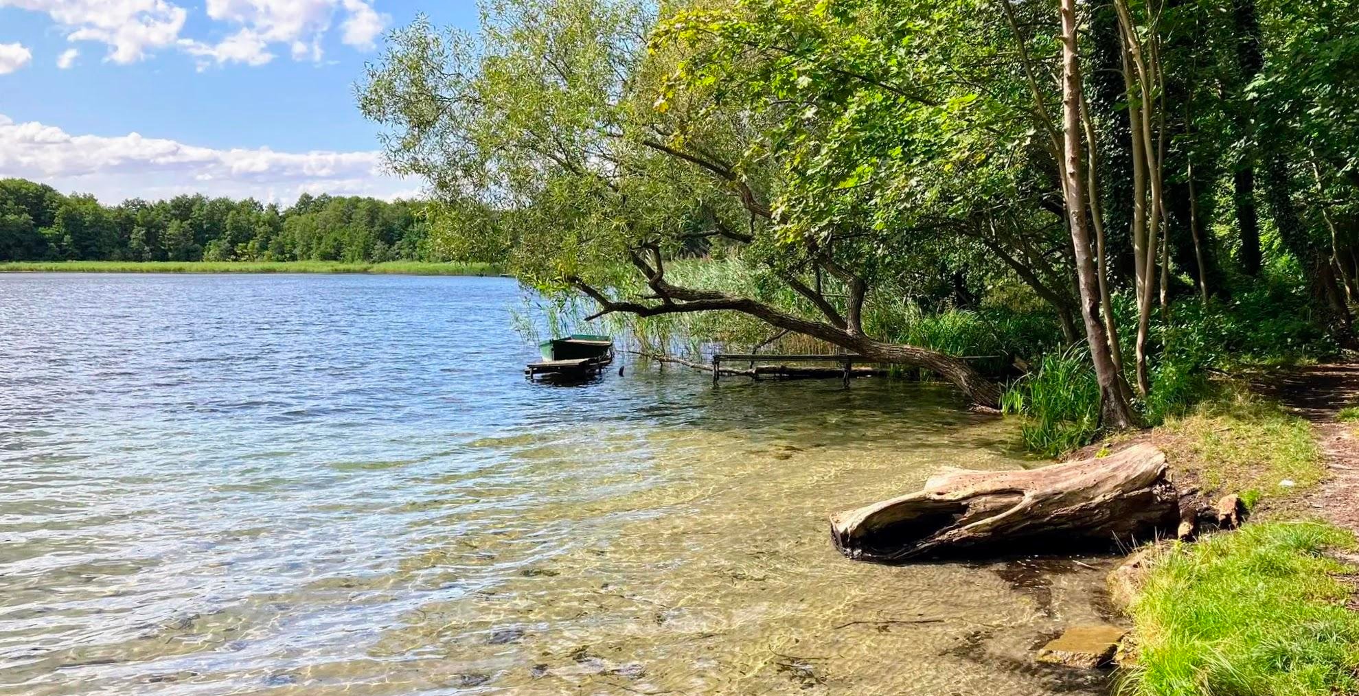
Cycling through an unknown land of lakes – Western Lake District Route
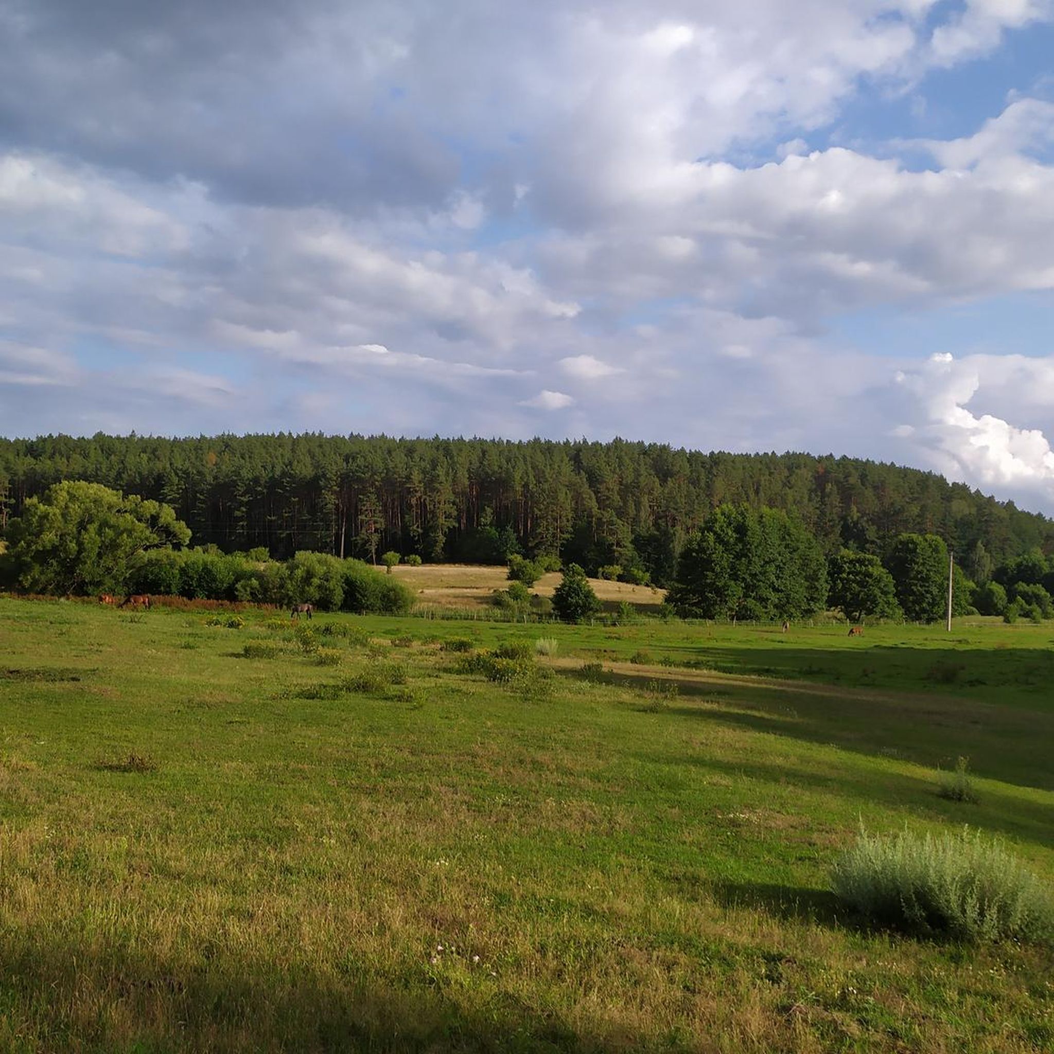
Cycling around gmina gmina gmina Borne Sulinowo
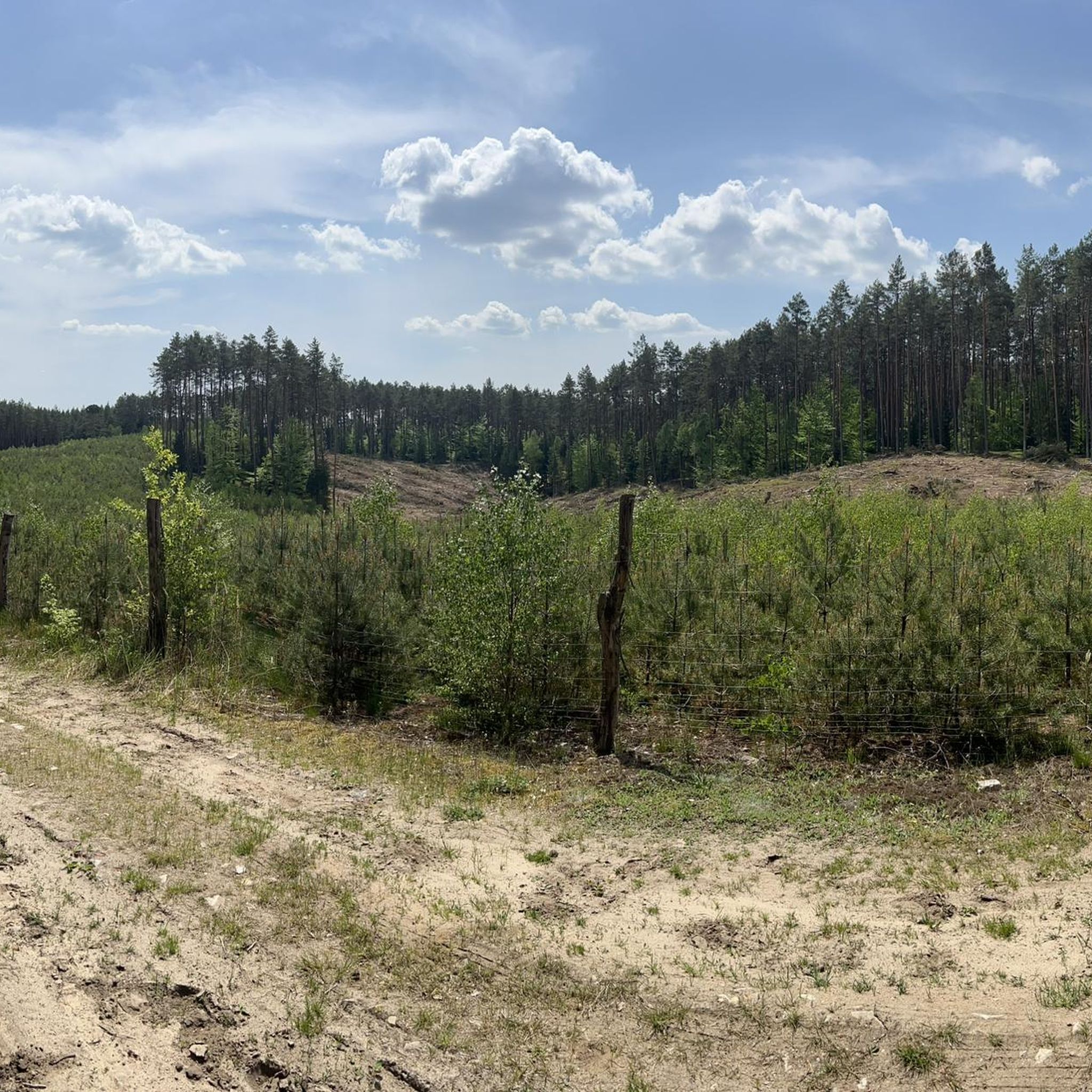
MTB Trails around gmina gmina gmina Borne Sulinowo
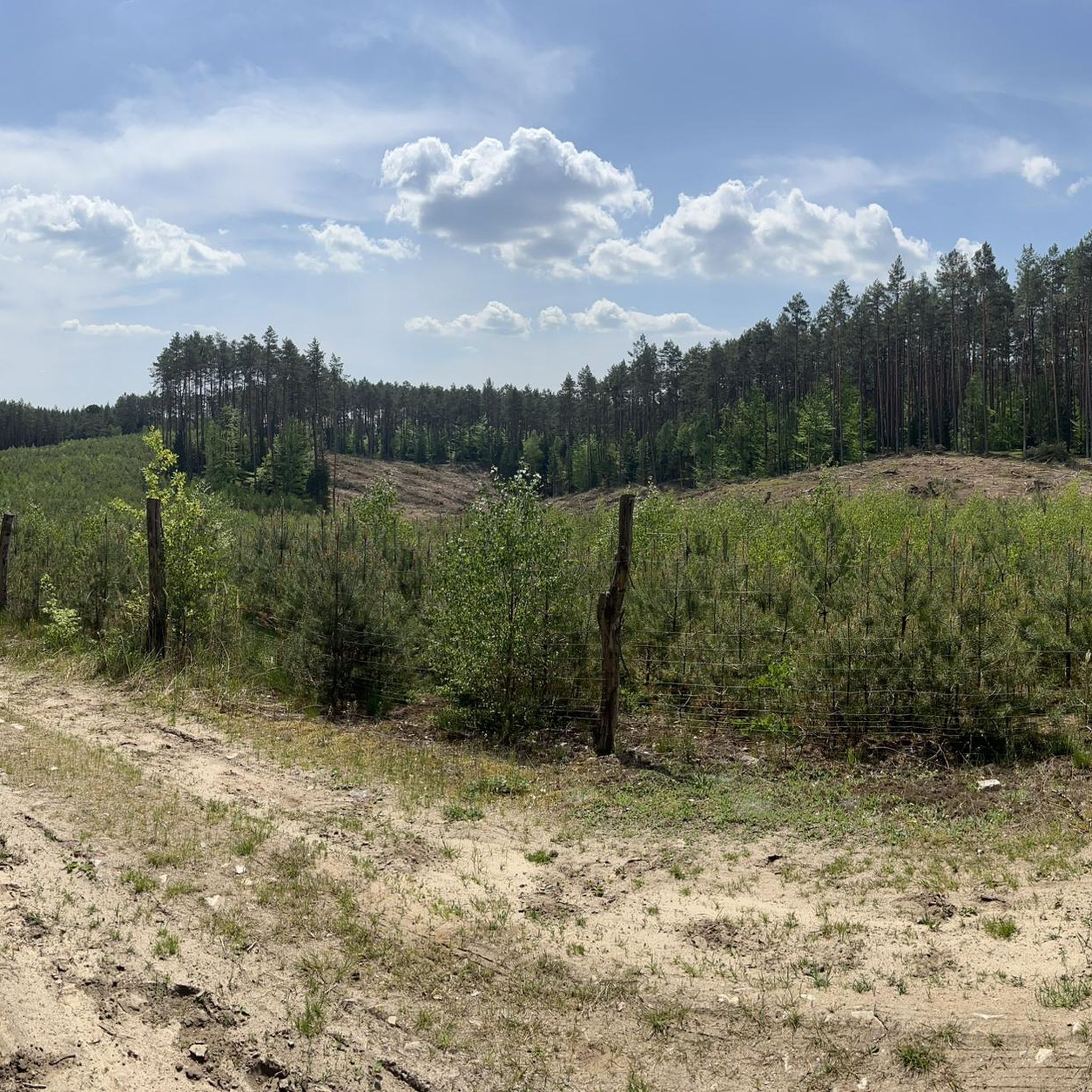
Road Cycling Routes around gmina gmina gmina Borne Sulinowo
Running Trails around gmina gmina gmina Borne Sulinowo

Gravel biking around gmina gmina gmina Borne Sulinowo
Other adventures around gmina gmina gmina Borne Sulinowo

Tips from the Community


An interesting bunker in which a mechanism that powered moving targets had to be mounted. You can see the place after the engine and the holes through which the lines pulling the target came out.
0
0
The observation bunker is visible from the marked path of the bunkers. It is at the top of the hill so it's hard to avoid it. Nearby, Skotna Góra - the highest hill in the area.
0
0
Very good dumplings. I would recommend!
0
0
Frequently Asked Questions
How many hiking trails are available in Gmina Borne Sulinowo?
There are nearly 30 hiking routes in Gmina Borne Sulinowo, offering a range of experiences from easy strolls to more challenging paths. The komoot community has rated these trails highly, with an average score of 4.8 stars.
What kind of terrain can I expect on hikes in Gmina Borne Sulinowo?
The terrain in Gmina Borne Sulinowo is quite varied. You'll find paths winding through dense pine forests, along the extensive shores of lakes like Pile, and across the unique, expansive Kłomińskie Heath. While many trails are relatively flat, some forest areas and parts of the Drawsko Landscape Park feature gentle ascents, adding a bit of challenge.
Are there any historical sites or landmarks to explore while hiking in Gmina Borne Sulinowo?
Yes, Gmina Borne Sulinowo is rich in history as a former military base. Many trails incorporate remnants of its past, such as former shooting ranges, fuel bases, and observation towers. You can also visit the T-34 Tank Monument in Borne Sulinowo, or explore the intriguing 'ghost town' of Kłomino. The town of Borne Sulinowo itself has a 13.5 km tourist path featuring 21 historical objects with informational plaques.
Are there any family-friendly hiking options in Gmina Borne Sulinowo?
Yes, Gmina Borne Sulinowo offers many easy routes suitable for families. For instance, the Pierogarnia Snack Bar – Bench in the park loop from Borne Sulinowo is an easy 3.5-mile (5.6 km) trail that takes you through park areas and local points of interest, perfect for a leisurely family outing.
Can I bring my dog on the hiking trails in Gmina Borne Sulinowo?
Most trails in Gmina Borne Sulinowo are dog-friendly, especially those through the forests and along lake shores. It's always a good idea to keep your dog on a leash, particularly in areas with wildlife or near other hikers, and to check for any specific local regulations on individual routes.
Are there circular hiking routes available in the region?
Yes, many of the hiking routes in Gmina Borne Sulinowo are circular, allowing you to start and end at the same point. An example is the Bunker XVI/13 – Bunker XVI/12 loop from Ścieżka rowerowo-piesza po bunkrach TB1, an easy 4.3-mile (7.0 km) trail that explores historical bunker sites within the forest.
What are some natural features or viewpoints I can see on a hike?
Hikers can enjoy diverse natural beauty, including the vast Lake Pile with its numerous bays and islands, and the unique Kłomińskie Heath, which is particularly stunning when the heather blooms in early September. The region also contains a portion of the Drawsko Landscape Park, offering scenic views of its ecological value. You might also encounter the Tempelburg Boulder, a large erratic boulder nearby.
What is the best time of year to go hiking in Gmina Borne Sulinowo?
The best time for hiking in Gmina Borne Sulinowo is generally from spring through early autumn. Early September is particularly recommended to witness the Kłomińskie Heath in full bloom. The dense pine forests offer shade during warmer months, and the lakes provide refreshing views. Winter hikes are also possible, offering a different, serene experience of the snow-covered landscape.
Are there any easy hiking trails for beginners?
Absolutely. Gmina Borne Sulinowo has 21 easy routes, perfect for beginners or those looking for a relaxed walk. The Jezioro Rakowo loop from Rakowo is an easy 2.7-mile (4.3 km) trail, offering a pleasant experience around the lake.
What do other hikers enjoy most about hiking in Gmina Borne Sulinowo?
The area is highly rated by the komoot community, with an average score of 4.8 stars from over 50 reviews. Reviewers often praise the quiet woodlands, the scenic lake views, and the unique historical elements integrated into many routes, offering a blend of nature and fascinating history.
Are there any longer, more challenging routes for experienced hikers?
While most routes are easy to moderate, there is at least one difficult trail for those seeking a greater challenge. The varied terrain, including some steeper ascents within the forest areas, can provide a good workout. For a moderate option, consider the Pierogarnia Snack Bar – Nature Trail loop from Borne Sulinowo, a 4.9-mile (7.9 km) path through natural surroundings.
Is parking available at the trailheads in Gmina Borne Sulinowo?
Yes, many hiking trails in Gmina Borne Sulinowo have designated parking areas, especially near popular starting points in Borne Sulinowo town or by the lakes. It's advisable to check specific route details for parking information before you go.
Most popular routes around gmina gmina gmina Borne Sulinowo
Most popular attractions around gmina gmina gmina Borne Sulinowo

Get inspired with the komoot mobile app


Explore more
Browse the best Hikes in other regions.
