The best walks and hikes around gmina gmina Tuczno
4.4
(7)
100
hikers
19
hikes
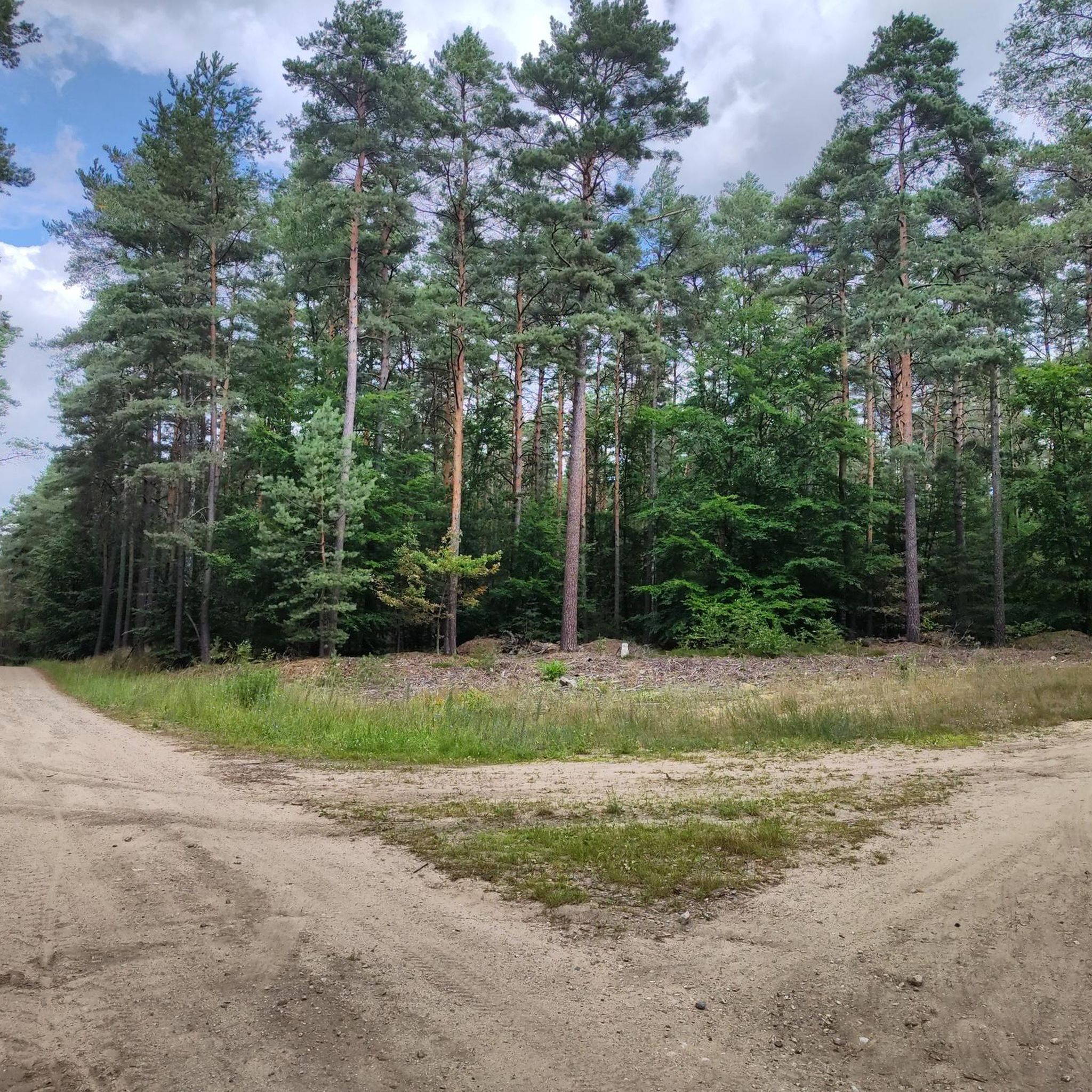
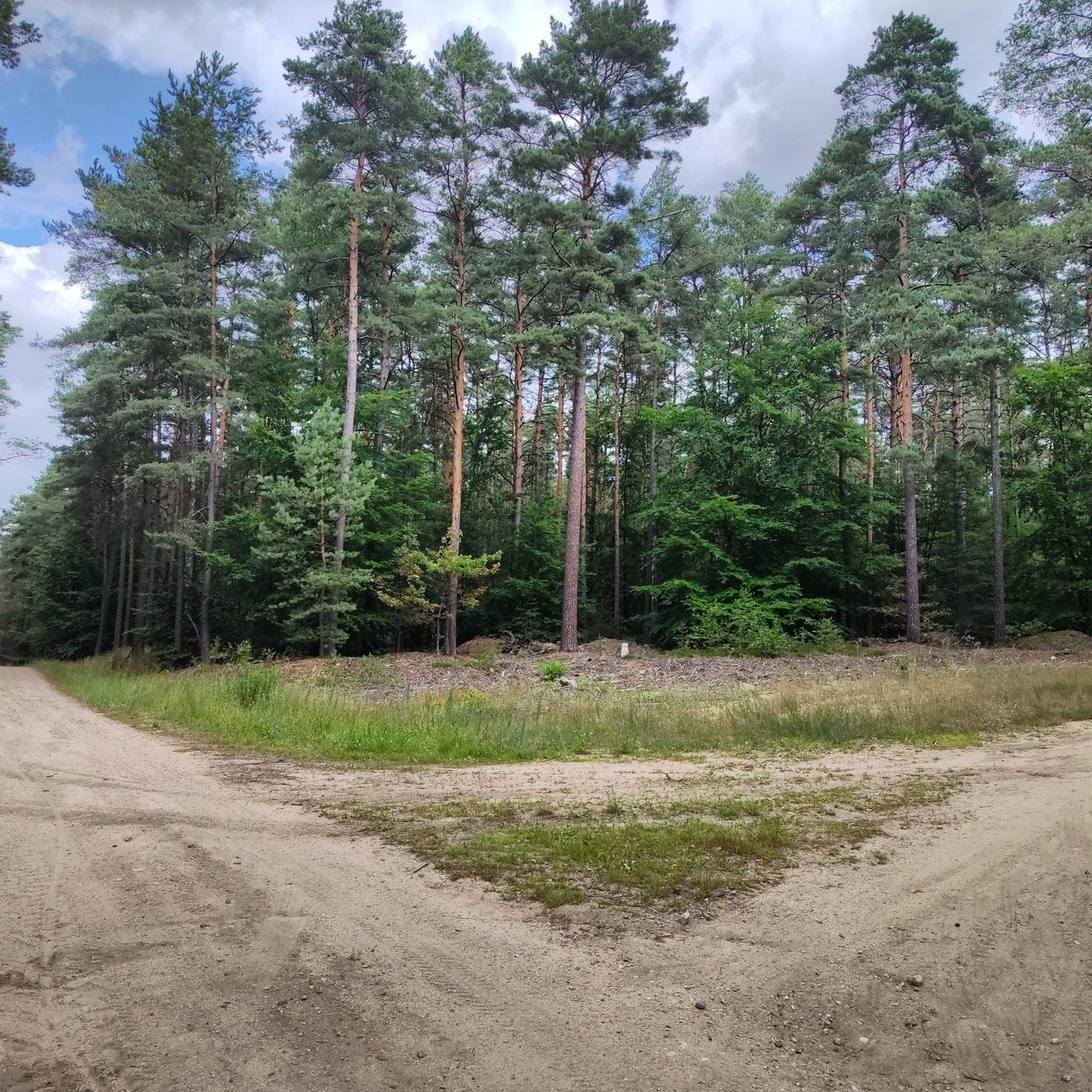
Hiking around gmina gmina Tuczno offers diverse landscapes characterized by a forest and landscape park, numerous lakes, and proximity to the Drawieński National Park. The region features a network of well-defined trails that traverse varied terrain, including woodlands and lakeside paths. These natural features provide a range of outdoor experiences for hikers.
Best hiking trails around gmina gmina Tuczno
- The most popular hiking route is View of Lake Ostrowite – View of Lake Czarne loop from Pustelnia, a 12.3…
Last updated: June 27, 2026
5.0
(1)
29
hikers
19.8km
05:08
120m
120m
Hard hike. Very good fitness required. Easily-accessible paths. Suitable for all skill levels.
3.5
(2)
13
hikers
9.18km
02:25
80m
80m
Moderate hike. Good fitness required. Easily-accessible paths. Suitable for all skill levels.

Sign up for free
3.0
(1)
7
hikers
Easy hike. Great for any fitness level. Easily-accessible paths. Suitable for all skill levels.
6
hikers
5.16km
01:21
40m
40m
Easy hike. Great for any fitness level. Easily-accessible paths. Suitable for all skill levels.
6
hikers
18.5km
04:48
120m
120m
Moderate hike. Good fitness required. Easily-accessible paths. Suitable for all skill levels.
Get access to more routes and recommendations from other explorers.
Sign up for free
Already have an account?
Our route recommendations are based on thousands of hikes, rides, and runs completed by other people on komoot.
Start today with a free account
Your next adventure awaits.
Login or Signup



Tips from the Community

A wooden footbridge connecting the two shores of Lake Ostrowite at its narrowest point. This is the so-called Vietnamese Bridge. At the end of 2024, the footbridge was renovated.
3
1
A recreation clearing with shelters and a place for a bonfire at the mouth of the Cieszynka River into Lake Załom.
2
1

It is worth leaving the main path next to the lake to find this little jetty and see this magical view of the lake from here. Almost absolute silence - only waves and birds!
0
0
A truly beautiful place to admire Lake Ostrowite. There is a small jetty right next to the path along the shore. Oh, those Polish lakes are really something!
0
0
Stara Węgornia is the ruins of a former mill on the Płociczna River, originally built in the early 19th century. There are remains of the building and a concrete weir. There were also devices for catching eels (hence the "eel"). The river here, after rainfall, can fall down quite violently and dramatically.
0
0

It's a little worn down and due for renovation but still fairly safe to walk on and experience being between two parts of the lake.
0
0

It's worth having binoculars with you. The point is very pleasant for such places. Well-roofed and airy.
3
0
As of today, the bridge is passable. However, I advise caution, it requires refurbishment. Great view of the lake.
3
0
Frequently Asked Questions
How many hiking trails are available in Gmina Tuczno?
Gmina Tuczno offers a diverse network of trails, with nearly 20 hiking routes available on komoot. These range from easy strolls to more challenging treks, catering to various fitness levels.
Are there any easy hiking trails suitable for beginners or families?
Yes, Gmina Tuczno has several easy trails. For instance, the View of the Drawa River – Bridge Over the Dębnica River loop from Międzybór is an easy 7.4 km route through riverine landscapes. Another accessible option is the Keselek – Załom loop from Załom, which is a pleasant 5.1 km walk.
What kind of landscapes can I expect to see while hiking in Gmina Tuczno?
Hikers in Gmina Tuczno will experience a rich variety of landscapes. The region is characterized by a beautiful forest and landscape park, numerous lakes, and proximity to the Drawieński National Park. You'll find trails winding through woodlands, along picturesque lakeside paths, and past historical sites.
Are there any circular hiking routes in Gmina Tuczno?
Yes, many trails in Gmina Tuczno are designed as circular loops, offering convenient starting and ending points. Examples include the 12 km Yellow Trail around Lake Tuczno, the 8.5 km Blue Trail from Tuczno Market Square, and komoot routes like the Młyn Tuczno Guesthouse – Tuczno Castle loop from Tuczno.
What historical or cultural attractions can I explore while hiking?
Gmina Tuczno offers several historical points of interest. The town of Tuczno itself features the historic Tuczno Castle and local churches. Some routes, like the Młyn Tuczno Guesthouse – Tuczno Castle loop from Tuczno, directly pass by these landmarks.
Are there any trails that feature lakes or water views?
Absolutely. The region is known for its lakes. The Yellow Trail, for example, is a 12 km circular route specifically designed around Lake Tuczno, offering scenic views and passing by a beach. You can also find highlights like Bytyń Wielki Lake and various picnic areas by lakes such as Bukowo Duże and Lake Załom.
What do other hikers say about the trails in Gmina Tuczno?
The hiking routes in Gmina Tuczno are highly rated by the komoot community, with an average score of 4.6 out of 5 stars from 5 reviews. Hikers often praise the diverse terrain, from woodlands to lakeside paths, and the well-defined network of trails.
Can I access hiking trails using public transport in Gmina Tuczno?
Some trails are accessible via public transport. For instance, the Yellow Trail around Lake Tuczno starts and ends at Tuczno PKS (bus station), making it convenient for those relying on public transportation.
Are there any long-distance trails that pass through Gmina Tuczno?
Yes, Gmina Tuczno is part of longer trail networks. The extensive Red Trail, approximately 100 km long, passes through the Drawieński National Park and includes about 28 km within Gmina Tuczno. The Green Trail (30 km) and Black Trail (44 km) also have significant sections within the gmina.
What are some notable natural features or parks in the area?
The area is rich in natural beauty, highlighted by a dedicated forest and landscape park. A significant natural feature is the presence of several lakes, including Lake Tuczno and Lake Bytyń. The region's proximity to the Drawieński National Park also offers extensive opportunities for nature enthusiasts.
Are there any specific trails that offer views of rivers?
Yes, you can find trails that follow riverine landscapes. The View of the Drawa River – Bridge Over the Dębnica River loop from Międzybór is a prime example, offering views of the Drawa River and its surroundings.
Are there any picnic or rest areas along the hiking routes?
Yes, the region provides amenities for hikers. You can find several picnic areas, such as the Picnic Area at the Mouth of the Cieszynka River by Lake Załom and the Picnic Area by Lake Bukowo Duże. There's also a Rest Area at Mały Raduń Lake, perfect for a break during your hike.
Most popular routes around gmina gmina Tuczno
Most popular attractions around gmina gmina Tuczno

Get inspired with the komoot mobile app


Explore more
Browse the best Hikes in other regions.
