The best running trails around Albergaria Da Serra
4.5
(2)
193
runners
13
runs
Jogging routes around Albergaria Da Serra are set within the Serra da Freita mountains and the Arouca Geopark in Portugal. The region features a pure mountain environment with diverse landscapes, including oak, chestnut, and pine forests, and various shrub areas. Joggers can expect varying terrains, from challenging mountain trails to serene river paths along the Caima River. The area is characterized by its geological heritage and natural formations, providing a varied backdrop for running.
Best jogging routes around Albergaria Da…
Last updated: September 2, 2026
4.0
(1)
101
runners
30.9km
04:17
1,310m
1,310m
Hard run. Very good fitness required. Mostly paved surfaces. Suitable for all skill levels.
13
runners
18.3km
02:30
580m
580m
Hard run. Very good fitness required. Mostly paved surfaces. Suitable for all skill levels.

Sign up for free
10
runners
14.1km
02:15
780m
780m
Hard run. Very good fitness required. Mostly paved surfaces. Suitable for all skill levels.
9
runners
27.4km
04:01
1,240m
1,240m
Hard run. Very good fitness required. Mostly accessible paths. Some sure footedness required.
5.0
(1)
10
runners
6.93km
01:04
360m
360m
Hard run. Very good fitness required. Mostly paved surfaces. Suitable for all skill levels.
Get access to more routes and recommendations from other explorers.
Sign up for free
Already have an account?
Our route recommendations are based on thousands of hikes, rides, and runs completed by other people on komoot.
Start today with a free account
Your next adventure awaits.
Login or Signup
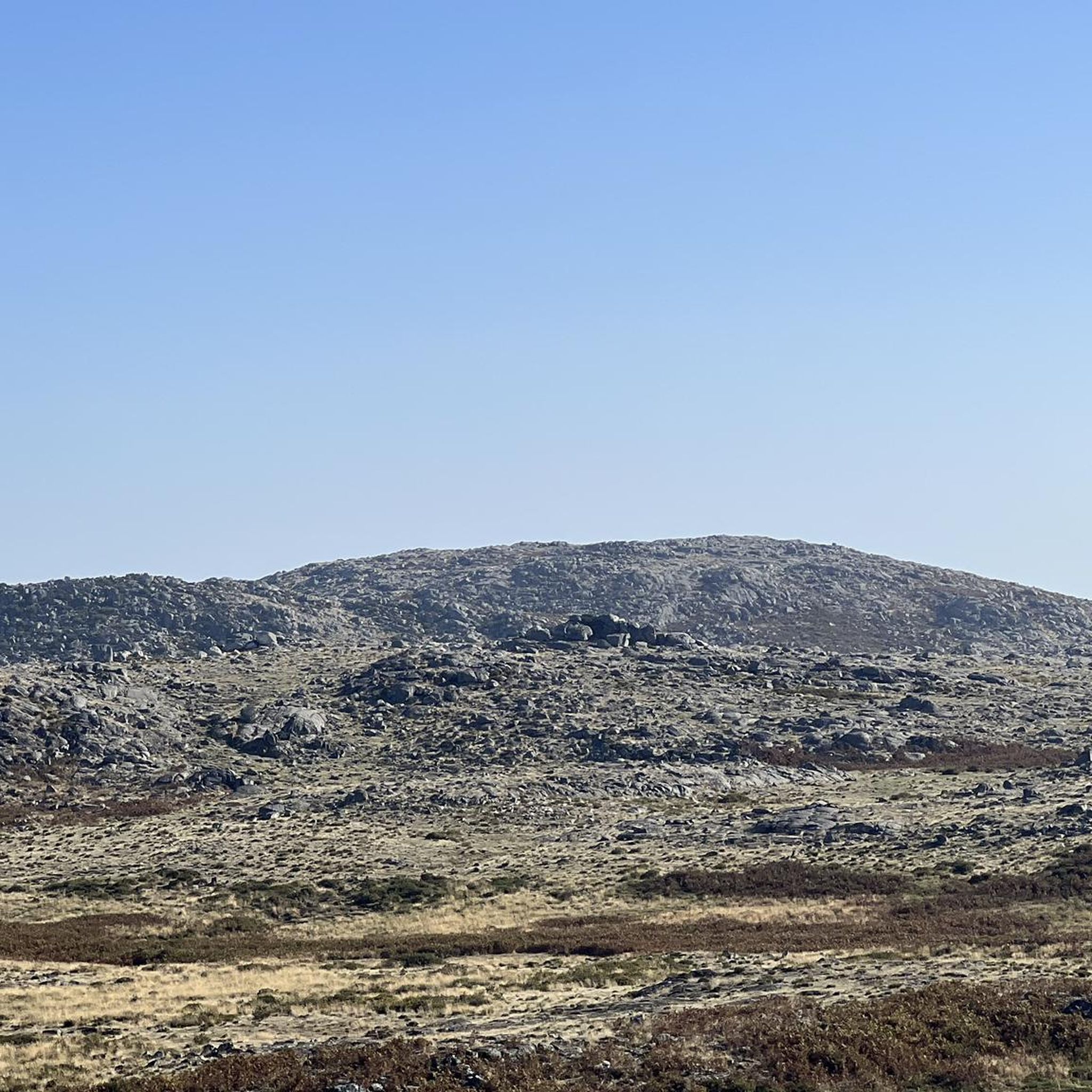
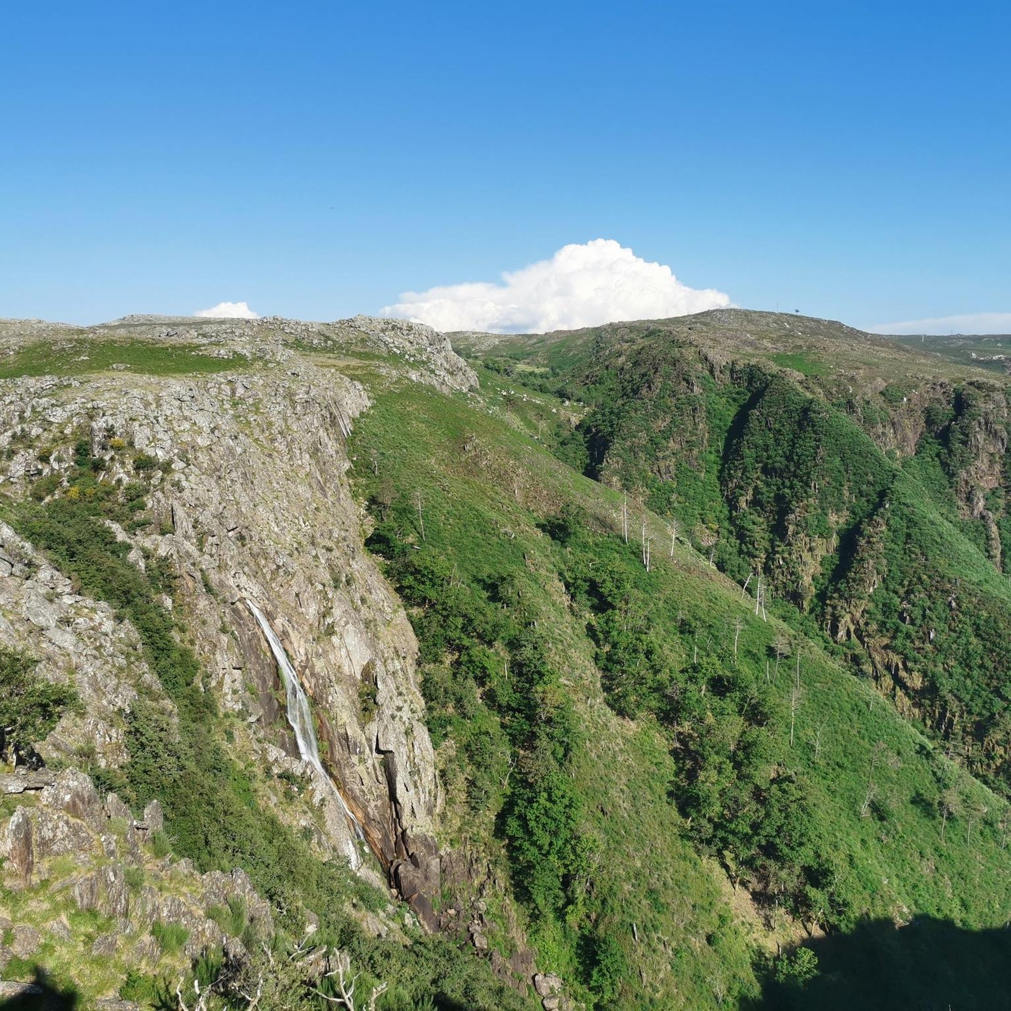
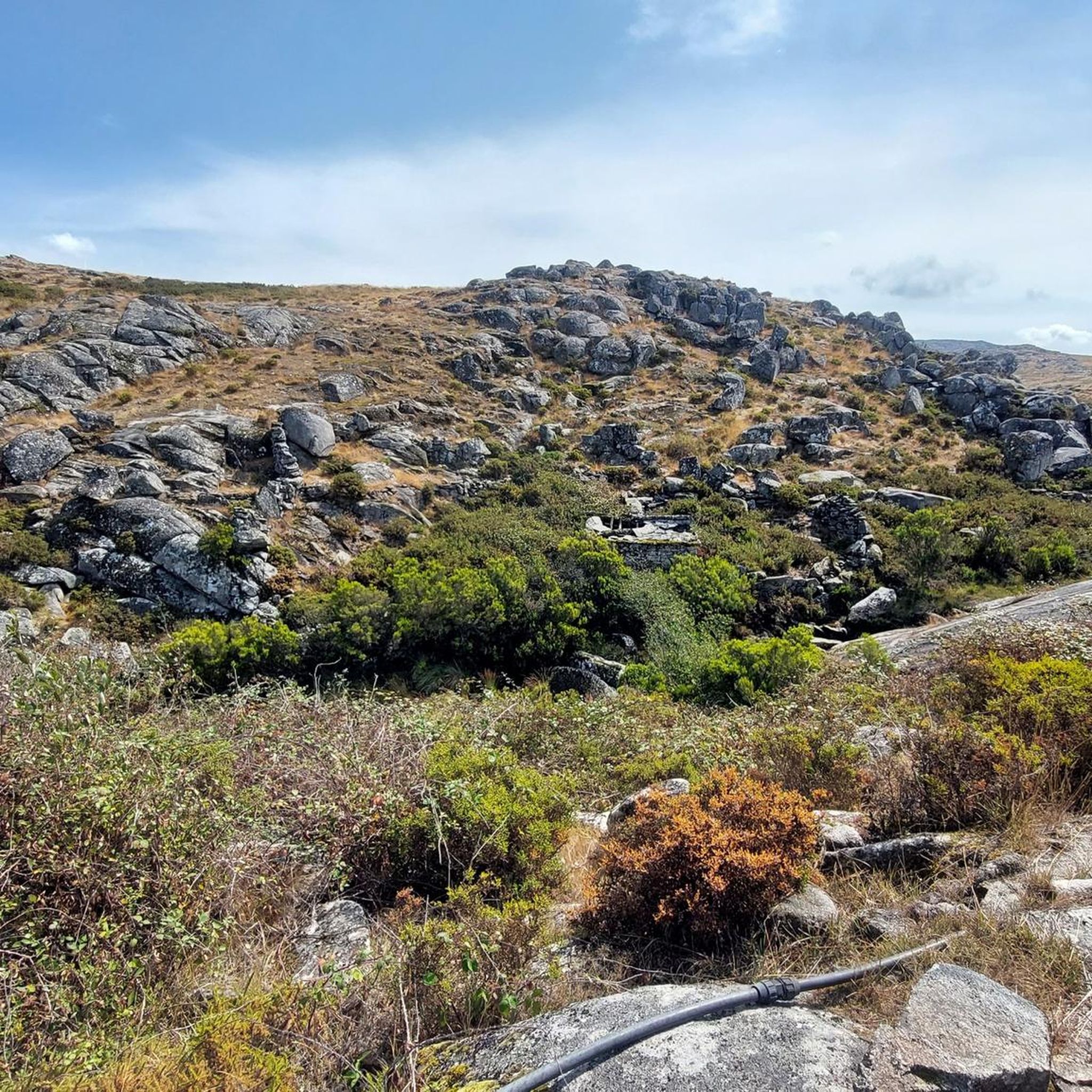

Tips from the Community


In charming Arouca you will find the Arouca Monastery, an architectural and historical landmark, and the picturesque streets and squares that exude ancient charm. The local gastronomy, in particular the conventual sweets, is an attraction in itself. The Arouca Geopark is famous for its Paiva Walkways, offering spectacular trails and views over the Paiva River, as well as trilobite fossils, highlighting an important geological and natural heritage.
0
0

Water supply point, or stop for a coffee 👌🏼
0
0

These trails, which stretch along the cliffs of Frecha da Mizarela, offer stunning views of the highest waterfall in mainland Portugal. At every step, the immensity of the mountainous landscape surprises you, making each steep climb a reward in itself.
1
0

Located next to Av. 25 de Abril, the Arouca Municipal Park invites you to enjoy moments of peace in the heart of the historic center. It is home to the statue of the Holy Queen Mafalda. In the immediate vicinity are the Arouca Municipal Library, the Terreiro de Santa Mafalda and the Arouca Monastery. It is equipped with a playground, a 5-a-side football pitch and a car park.
4
1

The Detrelo da Malhada Panoramic View, in the Arouca Geopark, offers an impressive view over the Freita mountain range and the Arda valley. On clear days you have distant views of Porto and the Marão mountains.
0
0
In charming Arouca you will find the Arouca Monastery, an architectural and historical landmark, and the picturesque streets and squares that exude ancient charm. The local gastronomy, in particular the convent sweets, is an attraction in itself. The Arouca Geopark is famous for its Paiva Walkways, offering spectacular trails and views over the Paiva River, as well as trilobite fossils, highlighting an important geological and natural heritage.
1
0
Felgueira, in the parish of Arões, Vale de Cambra, is a traditional village with granite and slate houses and cobbled paths. Surrounded by Serra da Freita, it offers stunning landscapes and signposted walking routes.
0
0
Frequently Asked Questions
How many running routes are available around Albergaria Da Serra?
There are over 10 dedicated jogging routes around Albergaria Da Serra, offering a variety of experiences within the Serra da Freita mountains and the Arouca Geopark. Most of these routes are considered difficult, providing a significant challenge for runners.
What kind of terrain can I expect on the jogging trails in Albergaria Da Serra?
The terrain is highly varied, ranging from challenging mountain paths with significant elevation changes to more serene river paths along the Caima River. You'll run through diverse landscapes including oak, chestnut, and pine forests, as well as various shrub areas, all within a pure mountain environment.
Are there any jogging routes that pass by waterfalls?
Yes, the region is home to the spectacular Frecha da Mizarela Waterfall, one of Europe's highest. You can experience this natural wonder on the Frecha da Mizarela Trail – Pedra das Marcas loop from Albergaria da Serra, which also follows sections of the Caima River.
Can I find running routes with panoramic views?
Absolutely! The mountainous terrain offers numerous opportunities for breathtaking vistas. For extensive views across the Arouca Geopark, consider the Arouca – Arouca Town Center loop from Arouca. Another option is the Pico do Gralheiro loop from Felgueira, which takes you towards the 1000-meter high Pico do Gralheiro, offering rewarding panoramic views. You can also visit the Detrelo da Malhada Viewpoint for stunning scenery.
Are there any circular running routes available?
Yes, several circular routes are available for runners. For example, the Running loop from Albergaria da Serra offers a challenging 7 km circuit. Another great option is the Goelas loop from Cabreiros, an 8.8-mile trail through mountain terrain.
Are there any historical or cultural points of interest along the running paths?
Yes, the region is rich in history. You might encounter traditional settlements like Felgueira Village, with its charming granite and slate houses. The area also includes ancient routes, such as a former Roman road, adding a historical dimension to your run. The Arouca Town Center is also a notable point of interest.
Are the running trails in Albergaria Da Serra dog-friendly?
While many natural areas in Portugal are generally welcoming to dogs, it's always recommended to keep your dog on a leash, especially in protected areas like the Arouca Geopark, to protect local wildlife and ensure the safety of other trail users. Always clean up after your pet.
What is the best time of year to go running in Albergaria Da Serra?
The Serra da Freita region offers a pure mountain environment, which can mean cooler temperatures than coastal areas. Spring and autumn generally provide the most pleasant conditions for running, with mild weather and vibrant natural scenery. Summer can be warm, especially at lower elevations, while winter can bring colder temperatures and potentially snow at higher altitudes.
Are there any permits required for running in the Arouca Geopark?
Generally, no specific permits are required for recreational running on the established trails within the Arouca Geopark. However, it's always a good idea to check the official Arouca Geopark website for any specific regulations or temporary restrictions, especially for larger groups or organized events. You can find more information about the region at visitarouca.pt.
Are there routes suitable for beginners or those looking for an easier run?
While most routes in Albergaria Da Serra are rated as difficult due to the mountainous terrain and significant elevation changes, there is at least one easy route available. These easier options are perfect for those new to trail running or looking for a more relaxed jog amidst nature.
What are the parking options for accessing the jogging trails?
In villages like Albergaria da Serra and Felgueira, you can typically find parking areas, often near the start of popular trails or in the village centers. For specific trailheads, it's advisable to check route details on komoot, as many routes provide information on nearby parking facilities.
Is public transport available to reach the trailheads?
Public transport options to reach the more remote trailheads in the Serra da Freita mountains can be limited. It's often more convenient to access these areas by car. However, some routes might be accessible from larger towns like Arouca, which have better public transport links. Always check local bus schedules if you plan to rely on public transport.
Most popular attractions around Albergaria Da Serra

Get inspired with the komoot mobile app


Explore more
Browse the best Running Trails & Routes in other regions.
