The best walks and hikes around Mansores
4.3
(83)
476
hikers
15
hikes
Hiking trails around Mansores are characterized by diverse landscapes, often integrated with the Arouca Geopark, a region celebrated for its geological importance. The terrain features rivers like the Paiva and Arda, which carve out scenic valleys, alongside varied geological formations and forested areas. This area provides a network of routes suitable for exploring its natural beauty and ancient history.
Best hiking trails around Mansores
- The most popular hiking route is Frecha da Mizarela Waterfall – Frecha da Mizarela Trail loop…
Last updated: July 2, 2026
4.9
(20)
108
hikers
6.93km
02:25
360m
360m
Moderate hike. Good fitness required. Easily-accessible paths. Suitable for all skill levels.
4.9
(8)
64
hikers
Hard hike. Good fitness required. Sure-footedness, sturdy shoes and alpine experience required.

Sign up for free
5.0
(3)
28
hikers
Moderate hike. Good fitness required. Easily-accessible paths. Suitable for all skill levels.
4.6
(8)
34
hikers
9.61km
02:47
260m
250m
Moderate hike. Good fitness required. Easily-accessible paths. Suitable for all skill levels.
5.0
(2)
9
hikers
3.59km
01:03
90m
90m
Easy hike. Great for any fitness level. Easily-accessible paths. Suitable for all skill levels.
Get access to more routes and recommendations from other explorers.
Sign up for free
Already have an account?
Our route recommendations are based on thousands of hikes, rides, and runs completed by other people on komoot.
Start today with a free account
Your next adventure awaits.
Login or Signup

Tips from the Community

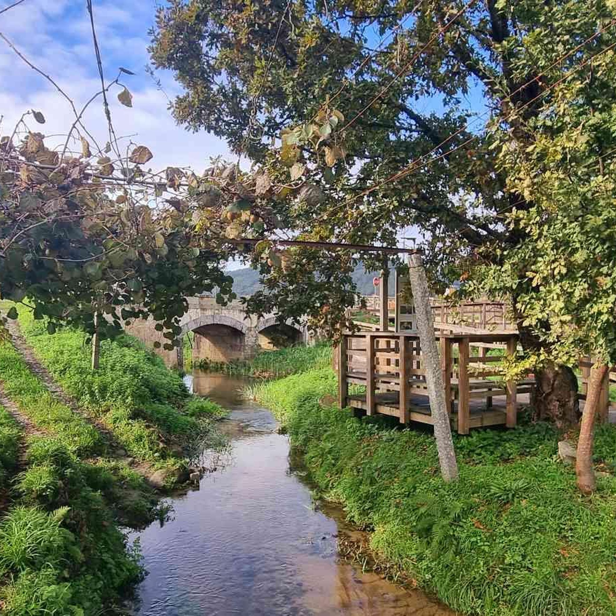
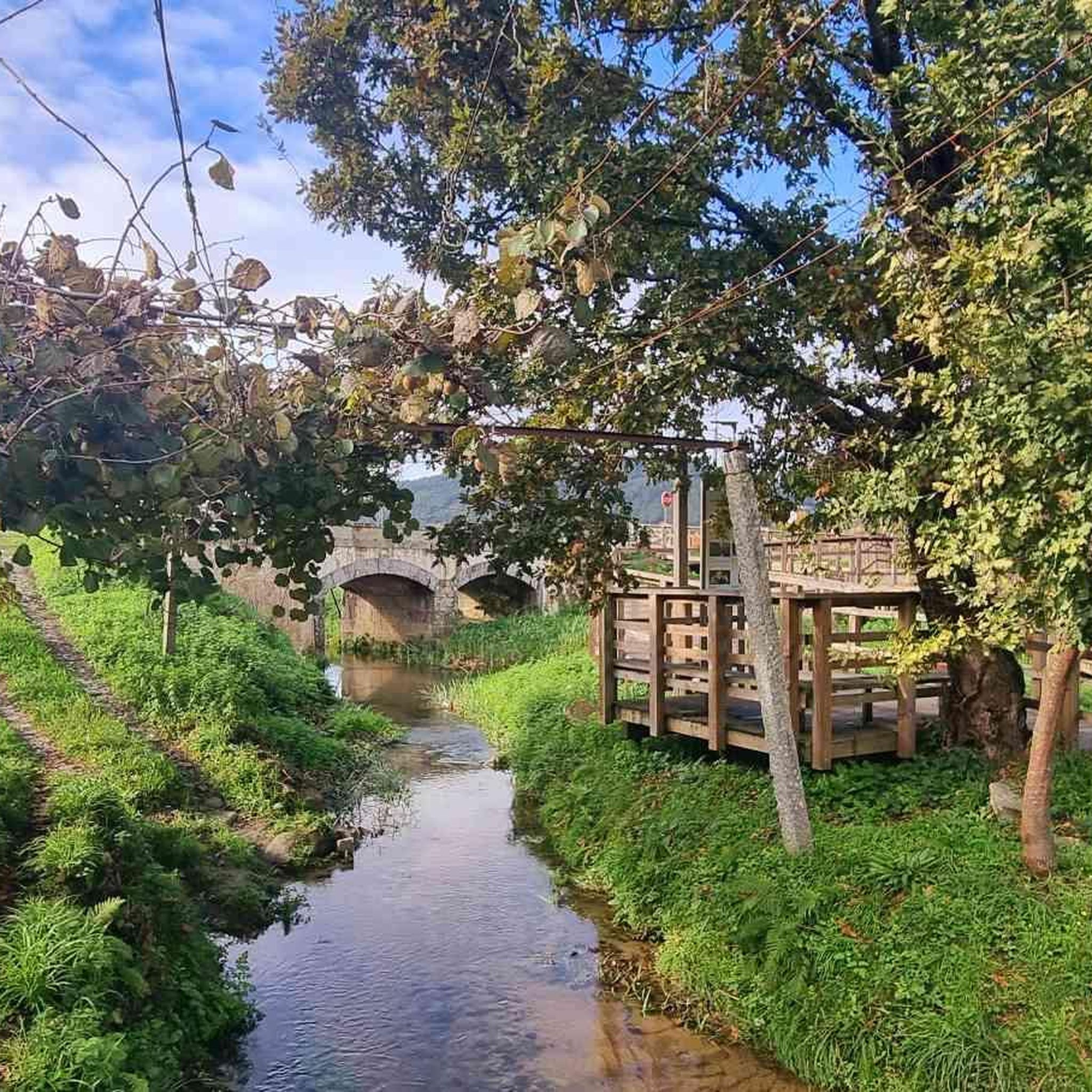
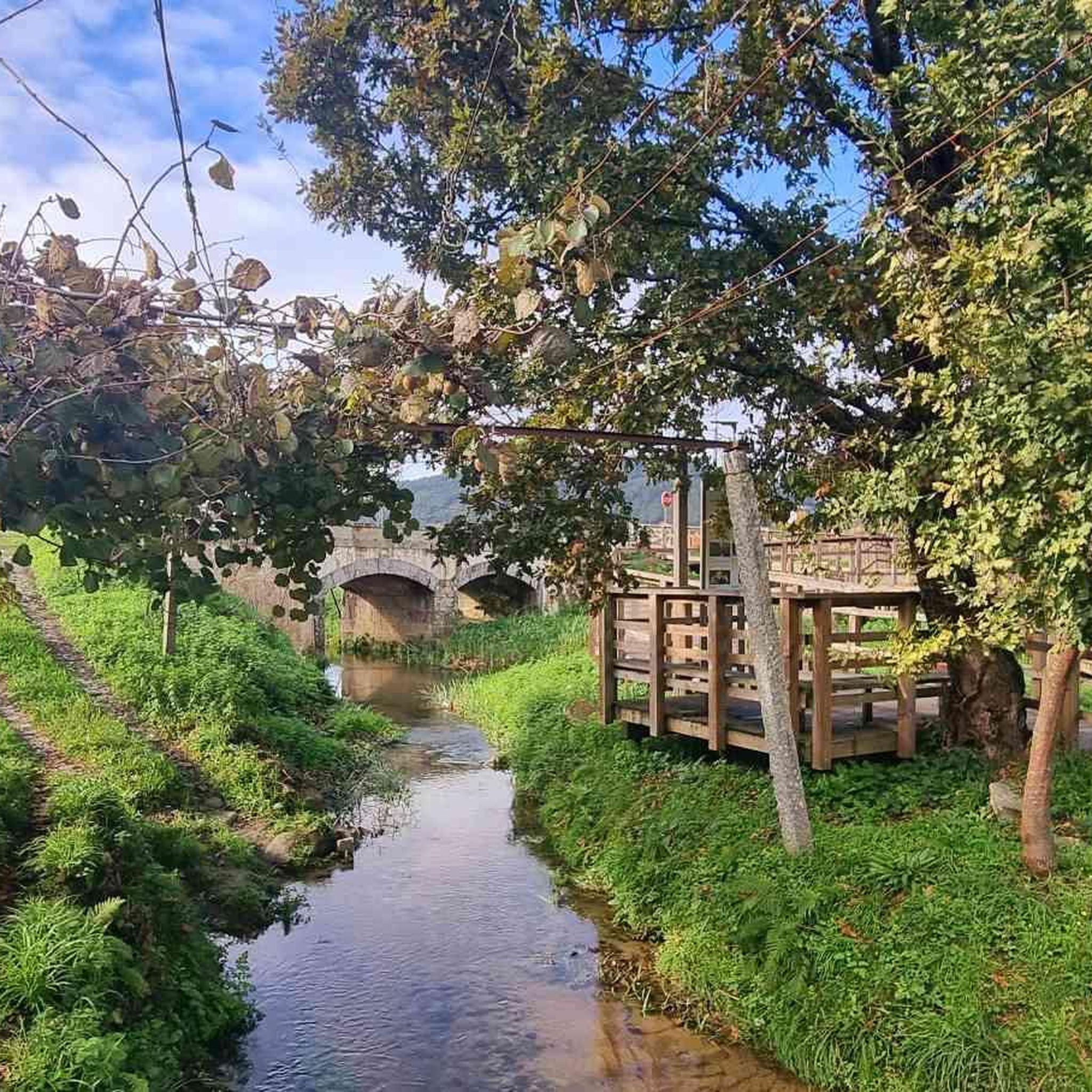
View of the hills in the area of Estrada. Enjoy this stunning view and stop to take a picture to remember this moment.
0
0

These trails, which stretch along the cliffs of Frecha da Mizarela, offer stunning views of the highest waterfall in mainland Portugal. At every step, the immensity of the mountainous landscape surprises you, making each steep climb a reward in itself.
1
0

The site features a number of impressive boulders and rock formations, each with its own character.
1
0

The Detrelo da Malhada Panoramic View, in the Arouca Geopark, offers an impressive view over the Freita mountain range and the Arda valley. On clear days you have distant views of Porto and the Marão mountains.
0
0

Entrance to the summit, follow the cairns
2
0
short climbing path to the summit, you just have to follow the cairns
2
0

Shadowless tour on stony ground. Possibly take sticks with you. Bathing on the way. Great distant view. No opportunity to stop for a break
2
0
beautiful, stony descent on the PR 7 into the valley ..... you can also go down by car, but ground clearance is necessary
3
0
Frequently Asked Questions
What kind of terrain can I expect on hikes around Mansores?
Hikes around Mansores offer diverse landscapes, characterized by river valleys carved by the Paiva and Arda rivers, varied geological formations, and forested paths. You'll encounter everything from lush, water-rich environments with 'levadas' (waterways) to more open areas with expansive views, especially within the Arouca Geopark.
Are there hiking options for beginners or families in Mansores?
Yes, Mansores offers several easy hiking options suitable for beginners and families. For instance, the Hiking loop from Refúgio da Freita is an easy 4.5 km (2.8 miles) trail, providing a gentle introduction to the area's natural beauty. Overall, there are 5 easy routes available in the region.
What are some challenging hikes in the Mansores area?
For experienced hikers seeking a challenge, Mansores has several difficult routes. One notable option is the Pedras Broas do Junqueiro loop from Refúgio da Freita, a demanding 12.7 km (7.9 miles) path that offers expansive views and rugged terrain. There are 3 difficult routes in total to explore.
What natural features or landmarks can I see while hiking near Mansores?
The Mansores region, particularly within the Arouca Geopark, is rich in natural features. You can explore river valleys, geological formations, and even ancient trilobite fossils. Specific landmarks include the Cruzeiro dos Centenários and the Sítio do Côto do Crasto along the PR11 ARC trail, and an imposing Centenary Cork Tree. The Frecha da Mizarela Waterfall – Frecha da Mizarela Trail loop from Albergaria da Serra leads to a notable waterfall.
Are there any good viewpoints on the trails around Mansores?
Yes, the area boasts several excellent viewpoints. You can find stunning vistas at locations like the Detrelo da Malhada Viewpoint, Alto do Monte de Avelheira and Chapel, and Monte da Abelheira. These spots offer panoramic views of the valleys and surrounding hills.
What do other hikers enjoy the most about hiking in Mansores?
The hiking trails around Mansores are highly rated by the komoot community, with an average score of 4.3 stars from over 70 reviews. Hikers often praise the diverse landscapes, the integration with the Arouca Geopark, and the variety of routes catering to different ability levels, from easy strolls to challenging treks.
Are there any circular hiking routes available in Mansores?
Yes, many of the trails in Mansores are circular, allowing you to start and end at the same point. An example is the View of the hills – Old Mills loop from Mansores, a moderate 9.6 km (6.0 miles) route that takes you through varied landscapes and past historical mills.
Can I combine hiking with other activities or explore nearby towns?
Absolutely. The Mansores region is close to several interesting places. You can visit the Arouca Town Center, explore the Museum of Sacred Art of the Monastery of Arouca, or walk along the Ecovia do Arda. These attractions offer a cultural complement to your outdoor adventures.
What is the best time of year to go hiking in Mansores?
The Mansores region, being part of the Arouca Geopark, offers pleasant hiking conditions for much of the year. Spring and autumn generally provide the most comfortable temperatures and vibrant scenery. However, the diverse landscapes and varied terrain mean that trails can be enjoyed across different seasons, with river valleys and forested paths offering shade in warmer months.
Are there any long-distance hiking options around Mansores?
While many routes are day hikes, some trails offer longer distances for those looking for extended walks. For example, the Chapel of Saint Lawrence – Pedras Broas do Junqueiro loop from Albergaria da Serra is a moderate 16.3 km (10.1 miles) route, providing a more substantial journey through the area's landscapes.
How many hiking trails are available in the Mansores area?
There are 15 hiking trails available around Mansores, offering a range of difficulties and distances to suit various preferences. This includes 5 easy, 7 moderate, and 3 difficult routes.
Most popular routes around Mansores
Most popular attractions around Mansores

Get inspired with the komoot mobile app


Explore more
Browse the best Hikes in other regions.
