The best road cycling routes around Cacia
4.6
(97)
3,568
riders
17
rides
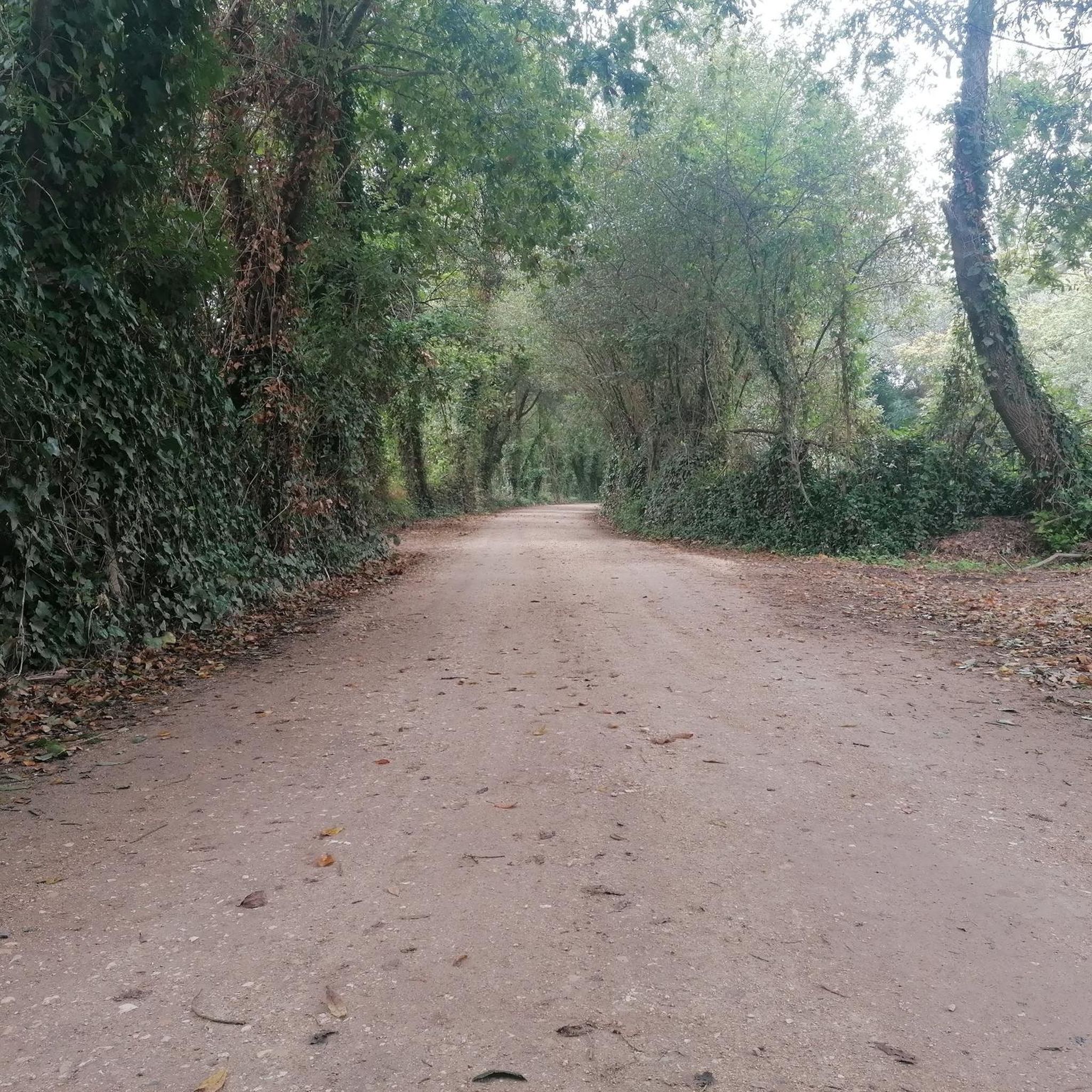
Road cycling routes around Cacia are situated in a region characterized by flat to gently rolling terrain, offering accessible paths for various skill levels. The landscape primarily features coastal areas and river basins, with minimal significant elevation changes. This composition provides road cyclists with routes that often follow waterways and coastal stretches, connecting urban centers with natural environments.
Best road cycling routes around Cacia
- The most popular road cycling route is Ponte do Poço de S. Tiago – Paradela Railway…
Last updated: July 1, 2026
5.0
(1)
46
riders
118km
05:38
1,490m
1,490m
Hard road ride. Very good fitness required. Some segments of this route may be unpaved and difficult to ride.
28
riders
84.6km
03:21
190m
190m
Moderate road ride. Good fitness required. Some segments of this route may be unpaved and difficult to ride.

Sign up for free
25
riders
64.4km
02:36
150m
150m
Moderate road ride. Good fitness required. Some segments of this route may be unpaved and difficult to ride.
11
riders
43.2km
01:51
130m
130m
Moderate road ride. Great for any fitness level. Some segments of this route may be unpaved and difficult to ride.
11
riders
38.2km
01:37
140m
140m
Easy road ride. Great for any fitness level. Mostly well-paved surfaces and easy to ride.
Get access to more routes and recommendations from other explorers.
Sign up for free
Already have an account?
Our route recommendations are based on thousands of hikes, rides, and runs completed by other people on komoot.
Start today with a free account
Your next adventure awaits.
Login or Signup

Tips from the Community

The Cross of São Domingos (also known as Cruzeiro de São Domingos or Cruzeiro de Nossa Senhora da Glória) is an ornate, late Gothic stone cross from the late 15th century. It is located protected in the vestibule (Galilé) of the Cathedral of Aveiro (Sé Catedral de Aveiro / Igreja de São Domingos).Interesting facts about the cross:Origin: It comes from a workshop in Coimbra.
3
0

Very beautiful place. To rest a little.
1
0
Spectacular view over the river.
1
0

This pedestrian bridge connects all three banks in the shape of a circular ring ("pedestrian roundabout"). The structure is visually striking.
4
0
In the past, this bridge was used to be used to ask for the hand of the beloved (engagement bridge).
4
0

Quick and easy connection for bikes, cars and pedestrians
0
0

Aveiro boasts a unique natural and urban landscape, dominated by the Ria de Aveiro and the streams that penetrate the urban space and have permanently marked the local history, heritage, culture, and identity. Aboard one of the typical boats, including the Moliceiro boat, take the opportunity to explore the city through the canals, which, at sunset, turn from silver to gold with the reflection of the sun's rays. There are other types of tourist transport available that can take you on a longer tour to explore the rest of the city and its main tourist attractions, such as the typical fishing and seafaring neighborhood, the Beira-Mar neighborhood, the old, walled, upscale area of the city, the Alboi neighborhood, the Cais da Fonte Nova, or the University of Aveiro, a true open-air museum of contemporary Portuguese architecture. (Source: www.turismodocentro.pt)
9
0
Salt mining in the Aveiro region dates back to a time before the Ria de Aveiro itself existed, with the first written document about Aveiro salt production dating back to before the founding of the nation. Over the centuries, the instability of the inlet (isolation from the sea) was a decisive factor in the variation in the number and production of salt pans. This resulted in periods of decline interspersed with periods of great favorability for production. This occurred in 1572, when, given the favorable condition of the inlet and the high and progressive commercial and maritime index, Aveiro became one of the best ports in Portugal, with a significant increase in salt trade and cod fishing. In 1808, the new inlet (an artificial system that allows seawater to enter) was finally opened, a fact of exceptional importance for the future of Aveiro and the entire region. (Source: Wikipedia) (Source: Wikipedia)⁶
13
0
Frequently Asked Questions
How many road cycling routes are available around Cacia?
There are 17 road cycling routes around Cacia, offering a diverse range of options for different skill levels and preferences. These routes explore the region's coastal paths, river routes, and flat agricultural areas.
What kind of terrain can I expect when road cycling near Cacia?
Road cycling around Cacia is characterized by flat to gently rolling terrain, making it accessible for various skill levels. The routes often follow coastal areas and river basins, connecting urban centers with natural environments. You'll find paths along waterways and through agricultural landscapes.
Are there road cycling routes suitable for beginners in Cacia?
Yes, Cacia offers 3 easy road cycling routes. These routes typically feature minimal elevation changes and shorter distances, perfect for those new to road cycling or looking for a relaxed ride. An example is the Republic Square, Aveiro – Carcavelos Bridge loop from Cacia.
What are some challenging road cycling routes for experienced riders in Cacia?
For experienced riders seeking a challenge, Cacia has 3 difficult routes. These routes feature significant elevation gain and longer distances. A notable challenging route is the Ponte do Poço de S. Tiago – Paradela Railway Station loop from Cacia, which covers 73.3 miles (118.0 km) with substantial climbing.
Are there any family-friendly road cycling options in Cacia?
While specific 'family-friendly' designations aren't always explicit for road cycling, the region's generally flat to gently rolling terrain and easy routes make it suitable for families with older children or those comfortable with longer distances. Look for the 'easy' rated routes for a more relaxed experience.
What are some scenic viewpoints or natural attractions along the road cycling routes in Cacia?
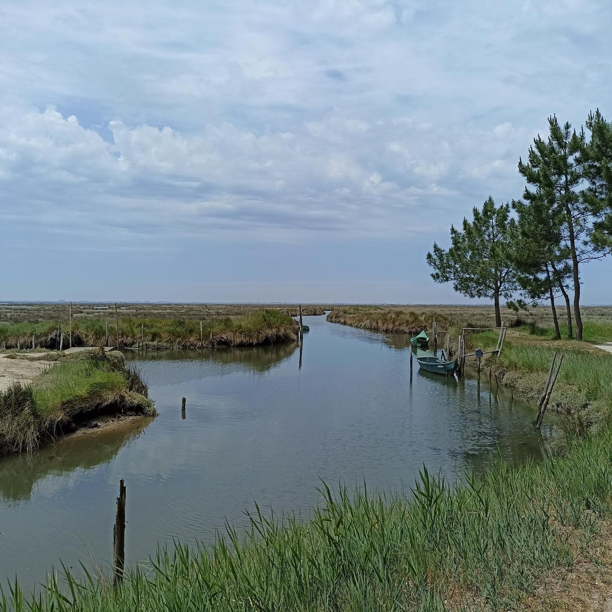
Many routes in Cacia offer scenic views of the region's natural beauty. You can encounter highlights such as the Aveiro Lagoon - Mira Channel, the View of the Salt Pans, and the serene Pateira de Frossos. The Duck ponds in the São Jacinto forest also offer a peaceful natural setting.
Are there any interesting landmarks or cultural attractions to see while cycling near Cacia?
Yes, road cycling routes around Cacia often pass by or lead to interesting landmarks. You can see the iconic Moliceiro Boats on the Canals of Aveiro, the Aveiro Friendship Bridge, and the impressive Barra Lighthouse. The Republic Square in Aveiro is also a notable urban highlight.
Are there many loop routes available for road cycling in Cacia?
Yes, many of the road cycling routes around Cacia are designed as loops, allowing you to start and end your ride in the same location. Examples include the Carcavelos Bridge – Aveiro Old Train Station loop from Cacia and the Canal de Mira Bridge – Aveiro – São Jacinto Ferry loop from Cacia.
What is the best time of year for road biking in Cacia?
Given Cacia's coastal and riverine environment, spring and autumn generally offer the most pleasant conditions for road cycling, with milder temperatures and less extreme weather. Summer can be warm, especially in open agricultural areas, while winter might bring cooler, wetter conditions.
Where can I find parking for road cycling routes in Cacia?
Many road cycling routes around Cacia start from or pass through urban centers like Aveiro or smaller villages. You can typically find public parking facilities in these areas. For specific trailheads, it's advisable to check the individual route details on komoot for suggested starting points and parking information.
Are there cafes or places to stop for refreshments along the road cycling routes?
As routes often connect urban centers and pass through rural villages, you'll find opportunities for refreshments. Towns like Aveiro offer numerous cafes and restaurants. Smaller villages along the way may also have local establishments where you can stop for a break and refuel.
What is the average length of road cycling routes in Cacia?
The road cycling routes in Cacia vary significantly in length. You can find shorter routes, such as the Republic Square, Aveiro – Carcavelos Bridge loop from Cacia at 37.3 miles (60.1 km), to much longer and more challenging rides like the Ponte do Poço de S. Tiago – Paradela Railway Station loop from Cacia, which is 73.3 miles (118.0 km).
Most popular attractions around Cacia

Get inspired with the komoot mobile app


Explore more
Browse the best Road cycling routes in other regions.
