The best cycling routes around São Bernardo
4.5
(334)
2,056
riders
97
rides
Touring cycling routes around São Bernardo do Campo offer diverse experiences within the São Paulo metropolitan area. The region is characterized by its location on a plateau within the Serra do Mar mountain range, providing a blend of urban access and natural beauty. Cyclists can explore routes that traverse lush forests, areas around the vast Represa Billings, and historical trails like the Caminho do Sal. The landscape includes varied terrain, from paved sections to gravel paths and some challenging ascents.
Best touring cycling routes around São Bernardo
- The most popular touring cycling route is From Aveiro to the Farol da Barra and Praia da Vagueira — circular route, a 28.0 miles (45.1 km) trail that takes 2 hours 51 minutes to complete. This route features moderate elevation changes and scenic coastal views.
- Another top favourite among local touring cyclists is From Aveiro to Praia da Vagueira — route in Ria de Aveiro, a moderate 27.8 miles (44.8 km) path. This trail offers a mix of paved and unpaved sections along the Ria de Aveiro.
- Local touring cyclists also love the From Aveiro to Praia de Mira — circular route by EV1, a 44.8 miles (72.1 km) trail leading through coastal landscapes, often completed in about 4 hours 42 minutes.
- Touring cycling around São Bernardo is defined by the expansive Represa Billings, the preserved Mata Atlântica, and historical trails like the Caminho do Sal. The network offers options for different ability levels, from leisurely rides to more challenging paths.
- The routes in São Bernardo are highly rated by the komoot community with an average score of 4.5 stars from over 300 reviews. More than 1,900 touring cyclists have used komoot to explore São Bernardo's varied terrain.
Last updated: July 1, 2026
4.4
(45)
215
riders
45.1km
02:51
110m
110m
Moderate bike ride. Good fitness required. Mostly paved surfaces. Suitable for all skill levels.
4.3
(40)
197
riders
44.8km
02:38
100m
100m
Moderate bike ride. Good fitness required. Mostly paved surfaces. Suitable for all skill levels.

Sign up for free
4.7
(29)
169
riders
72.1km
04:43
160m
150m
Moderate bike ride. Good fitness required. Mostly paved surfaces. Suitable for all skill levels.
5.0
(2)
30
riders
62.1km
03:33
220m
220m
Moderate bike ride. Good fitness required. Mostly paved surfaces. Suitable for all skill levels.
5.0
(1)
11
riders
73.7km
04:44
230m
230m
Moderate bike ride. Good fitness required. Mostly paved surfaces. Suitable for all skill levels.
Get access to more routes and recommendations from other explorers.
Sign up for free
Already have an account?
Our route recommendations are based on thousands of hikes, rides, and runs completed by other people on komoot.
Start today with a free account
Your next adventure awaits.
Login or Signup
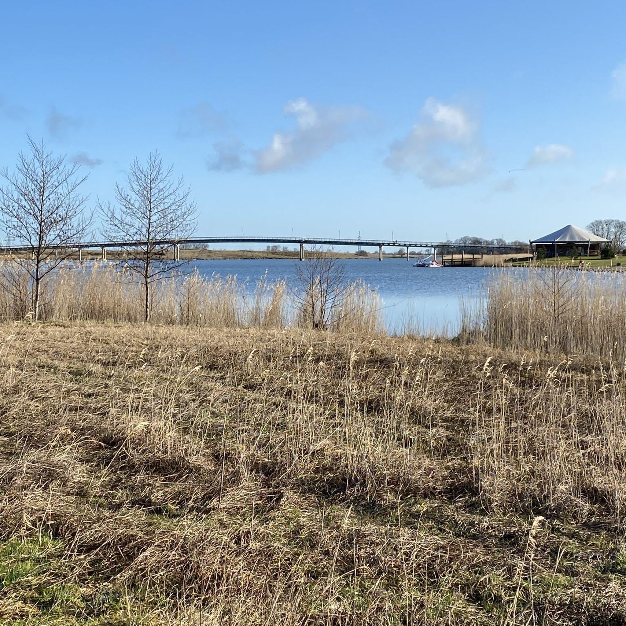
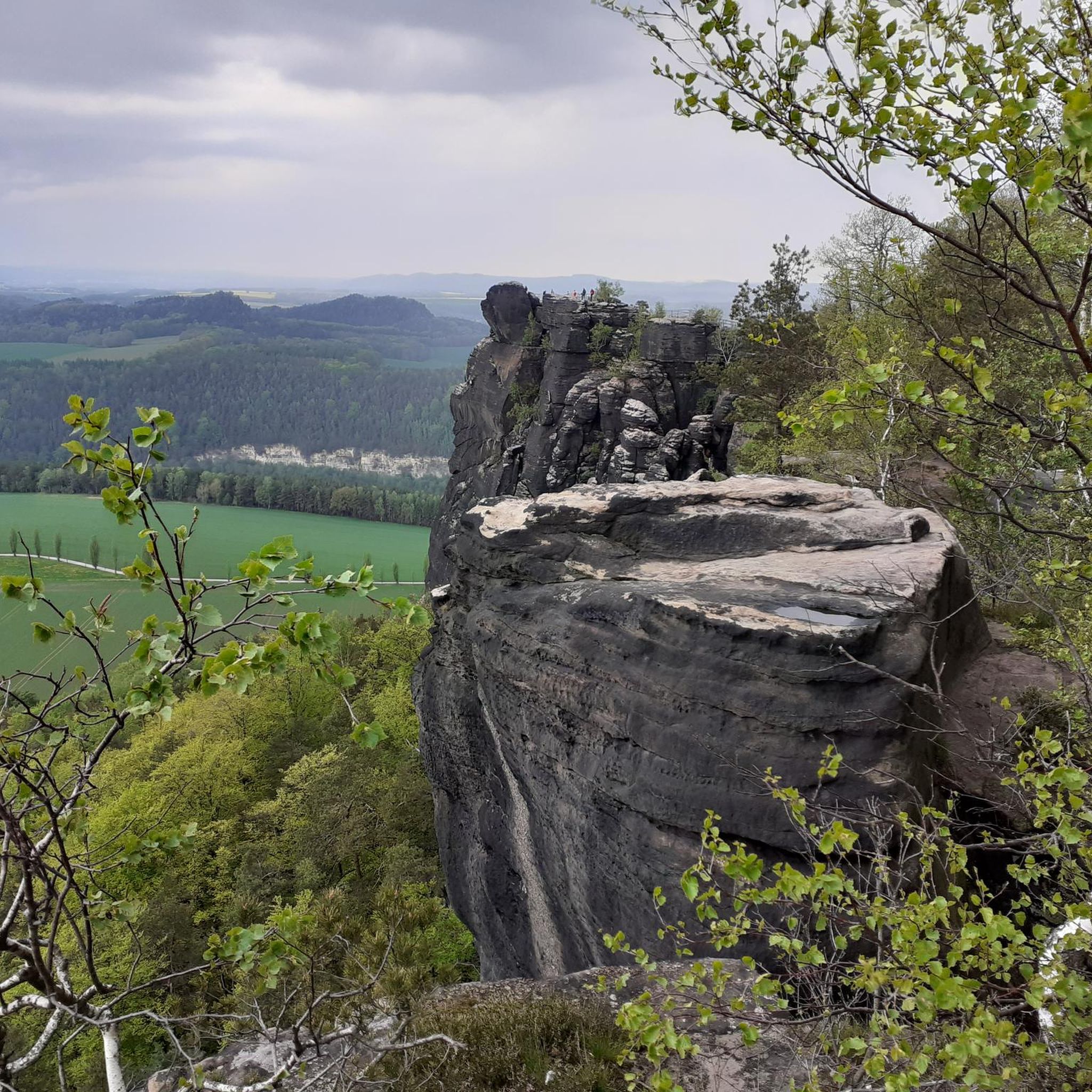
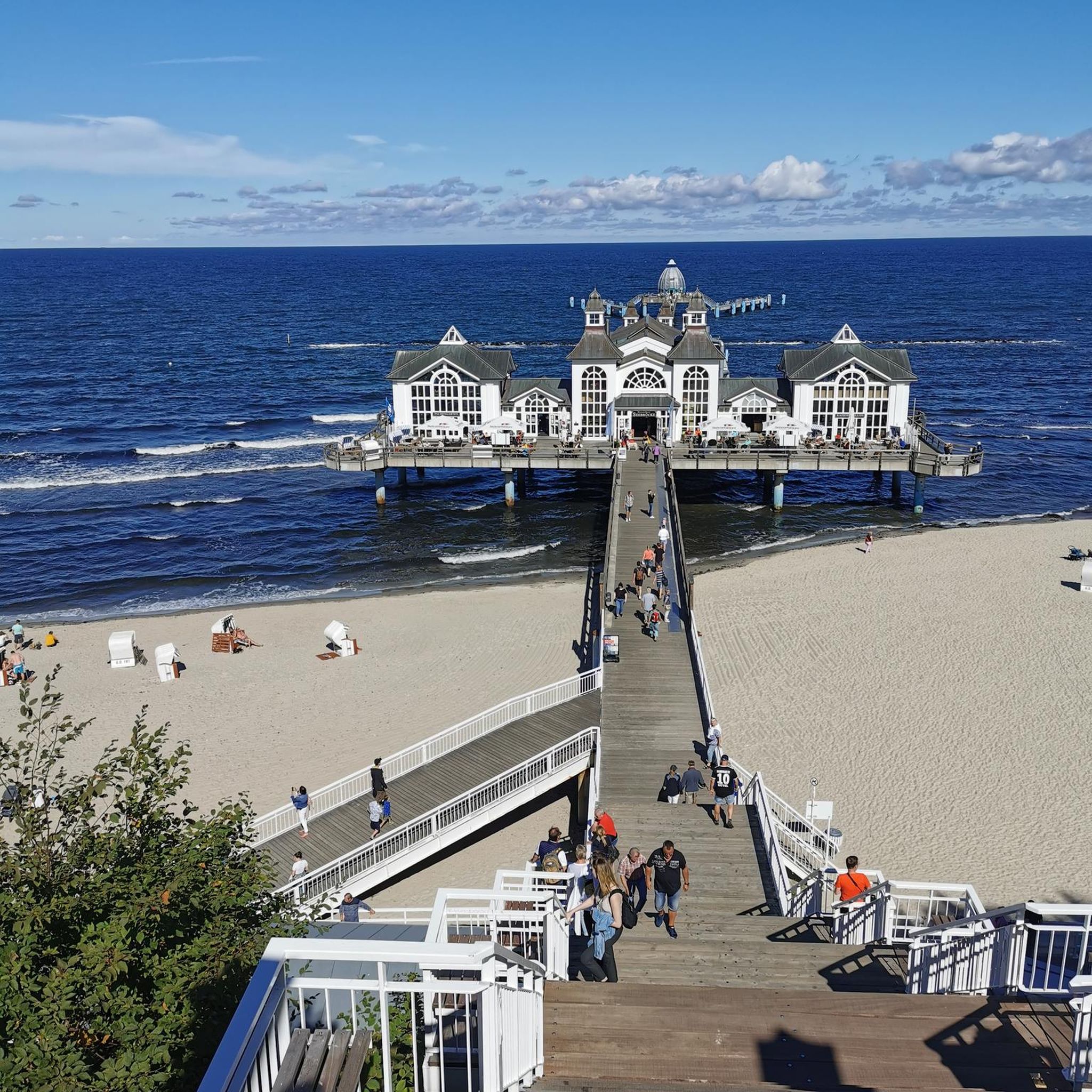
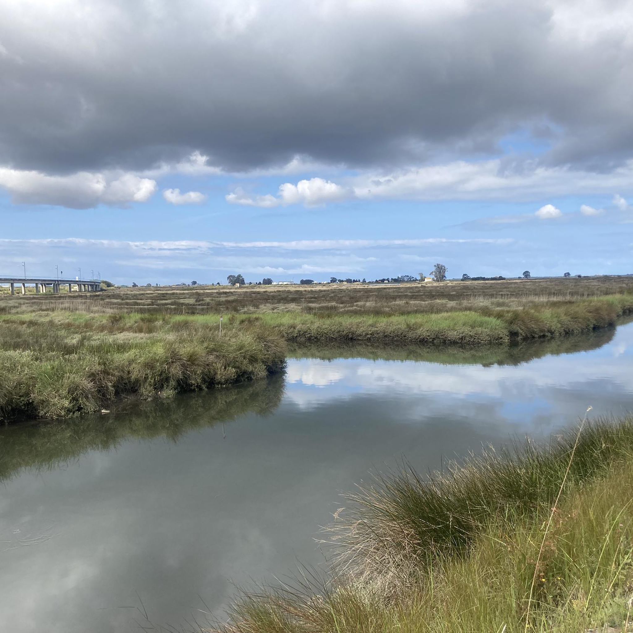
Tips from the Community

Super dunes and super beach. You have to make a stop here.
2
0
Beautiful the small striped houses. Nice bike path along the coast.
0
0

Features and Useful Information Location: The canal connects the Mira area (in Barrinha) with the Ria de Aveiro further south, passing through the municipality of Vagos. Type of Route: The route is mostly flat and uses a mix of dirt tracks (rural/forest roads) and, in some sections, paved or gravel cycle paths. It is a scenic and peaceful route. Integration into Larger Networks: The route is part of local ecotourism routes and, in part, the Great Route of the Ria de Aveiro (GR 58), which encircles the entire lagoon area. It can be connected to the EuroVelo 1 - Atlantic Coast Route at certain points. Landscape: It offers calm and natural views over the canal, salt pans and agricultural fields, providing an immersive experience in the biodiversity of the estuary and the local culture. Conditions: The condition of the surface may vary, especially after heavy rains in the dirt sections. It is recommended to use mountain bikes (MTB) or gravel bikes for greater comfort.
1
0
The Mira Canal Cycle Path is an important section of the cycle path and trail ecosystem in the Ria de Aveiro and Vagos region. This route follows the banks of the Mira Canal, which is one of the channels of the Ria de Aveiro.
1
0
Points of Interest Mira Beach: A common starting point, famous for its uninterrupted Blue Flag status and traditional colorful wooden huts. Barrinha Lagoon: A tranquil spot for birdwatching and nautical activities like canoeing. Ethnographic Museum and Gândara Territory Museum: Places to learn about local history and culture. Watchtower: A landmark in the Praia da Tocha area, useful as a reference point on the route. You can find detailed maps and directions for the Mira Dunes Route on platforms like Wikiloc or AllTrails.
1
0
The Route and Landscape The route harmoniously combines different types of paths and landscapes: Wooden Walkways: Extensive walkways over the dunes and around the Barrinha Lagoon, protecting the fragile ecosystem and offering spectacular views. Forest Paths: Shaded sections through the vast pine forests (Maritime Pine) that characterize the Gândara region, originally planted to stabilize the sands. Views: Offers views of the Atlantic Ocean, the lagoon, and the surrounding rural landscape. Connection to EuroVelo 1: Parts of this route are integrated into EuroVelo 1 - Atlantic Coast Route, a European long-distance cycle route.
1
0
Route Characteristics Type of Route: Circular and bidirectional (can be done in both directions). Length: Approximately 15.6 km. Difficulty: Easy, on predominantly flat terrain. Average Time: Approximately 4 to 5 hours on foot, or 1 to 2 hours by bicycle. Main Use: Ideal for walking, running and cycling.
1
0
Frequently Asked Questions
How many touring cycling routes are available around São Bernardo?
There are over 100 touring cycling routes available around São Bernardo, catering to various skill levels. You'll find a good mix of easy, moderate, and challenging paths to explore.
What kind of landscapes can I expect to see while cycling in São Bernardo?
São Bernardo offers diverse landscapes for touring cyclists. You can expect to ride along the tranquil shores of the vast Represa Billings, explore routes through the preserved Mata Atlântica (Atlantic Forest), and encounter historical trails that immerse you in nature.
Are there any family-friendly cycling routes in São Bernardo?
Yes, São Bernardo has several easy routes suitable for families. Many paths around the Represa Billings and within areas like Parque Estoril offer gentler terrain, perfect for a leisurely ride with children.
What is the best time of year for touring cycling in São Bernardo?
The region generally offers good cycling conditions throughout the year. However, it's always best to check local weather forecasts before heading out, especially during the rainy season, to ensure a comfortable and safe ride.
Are there any challenging routes for experienced touring cyclists?
Absolutely. For experienced touring cyclists seeking a challenge, routes like the Caminho do Sal offer an adventurous experience with steep climbs and varied terrain, including gravel sections. The region also features routes with significant elevation changes through the Mata Atlântica.
Can I find circular touring cycling routes in São Bernardo?
Yes, many touring cycling routes in São Bernardo are designed as circular loops, allowing you to start and end your ride at the same point. These are ideal for day trips and exploring specific areas without needing a return journey plan.
What do other touring cyclists say about the routes in São Bernardo?
The touring cycling routes in São Bernardo are highly rated by the komoot community, with an average score of 4.5 stars from over 300 reviews. Cyclists often praise the scenic views around Represa Billings and the immersive experience of riding through the Mata Atlântica.
Are there any historical routes I can cycle in São Bernardo?
Yes, São Bernardo is home to historical routes such as the Caminho do Sal (Salt Trail), a 50 km route that follows ancient paths. Another notable historical option is the Estrada Velha de Santos (Old Road of Santos), which offers an ecotourism experience combined with historical significance through the Atlantic Forest.
What are the difficulty levels of touring cycling routes in São Bernardo?
The routes in São Bernardo cater to all levels. Approximately 43 routes are considered easy, 49 are moderate, and 14 are more difficult, ensuring there's a suitable option whether you're a beginner or an advanced touring cyclist.
Are there any specific attractions or points of interest along the cycling routes?
While cycling, you can explore areas like Parque Estoril, located on the banks of Represa Billings, which offers beautiful natural surroundings. The historical routes also feature points of interest related to the region's past, and the natural beauty of the Mata Atlântica itself is a major attraction.
Is public transport available to access cycling routes in São Bernardo?
São Bernardo do Campo is part of the greater São Paulo region, offering various public transport options. While specific routes may require local research, the city's infrastructure generally allows for access to different areas, including those near popular cycling starting points. It's advisable to check local bus routes or train connections for specific trailheads.
Are there amenities like cafes or restrooms near the cycling trails?
Areas around popular attractions like Parque Estoril and within urbanized sections of São Bernardo will likely have amenities such as cafes, restaurants, and restrooms. For more remote sections, especially along longer trails like the Caminho do Sal, it's recommended to carry sufficient supplies.
Most popular attractions around São Bernardo

Get inspired with the komoot mobile app


Explore more
Browse the best Cycling routes in other regions.
