The best road cycling routes around Bandeiras
5.0
(4)
78
riders
10
rides
Road cycling around Bandeiras is characterized by diverse terrain, offering routes with significant elevation changes and varied landscapes. The region features challenging topography, including ascents to high points and scenic loops. Cyclists can experience a mix of coastal views and inland paths, with routes often traversing through natural environments.
Best road cycling routes around Bandeiras
- The most popular road cycling route is Pico Island Tour, a 65.5 miles (105.4 km) trail that takes 5 hours 10 minutes to complete.…
Last updated: May 18, 2026
37
riders
105km
05:10
1,600m
1,600m
Cycle the difficult Pico Médio Granfondo, a 65.5-mile circular route on Ilha do Pico with 5265 feet of elevation gain.
1
riders
43.6km
02:46
1,270m
1,270m
Hard road ride. Very good fitness required. Mostly well-paved surfaces and easy to ride.

Sign up for free
5.0
(2)
10
riders
82.2km
04:17
1,370m
1,370m
Hard road ride. Very good fitness required. Some segments of this route may be unpaved and difficult to ride.
5
riders
Hard road ride. Very good fitness required. Some segments of this route may be unpaved and difficult to ride.
9
riders
Moderate road ride. Great for any fitness level. Some segments of this route may be unpaved and difficult to ride.
Get access to more routes and recommendations from other explorers.
Sign up for free
Already have an account?
Our route recommendations are based on thousands of hikes, rides, and runs completed by other people on komoot.
Start today with a free account
Your next adventure awaits.
Login or Signup
Tips from the Community

Cold and hot drinks! Ice cream! Enjoy!
0
0

Definitely worth seeing! It tells the story of whaling on Pico. The film vividly depicts how simple and difficult life is on Pico (Lajes) and how the men killed such a gigantic animal with simple means. The museum is very inexpensive and even free to visit on Sundays.
1
0

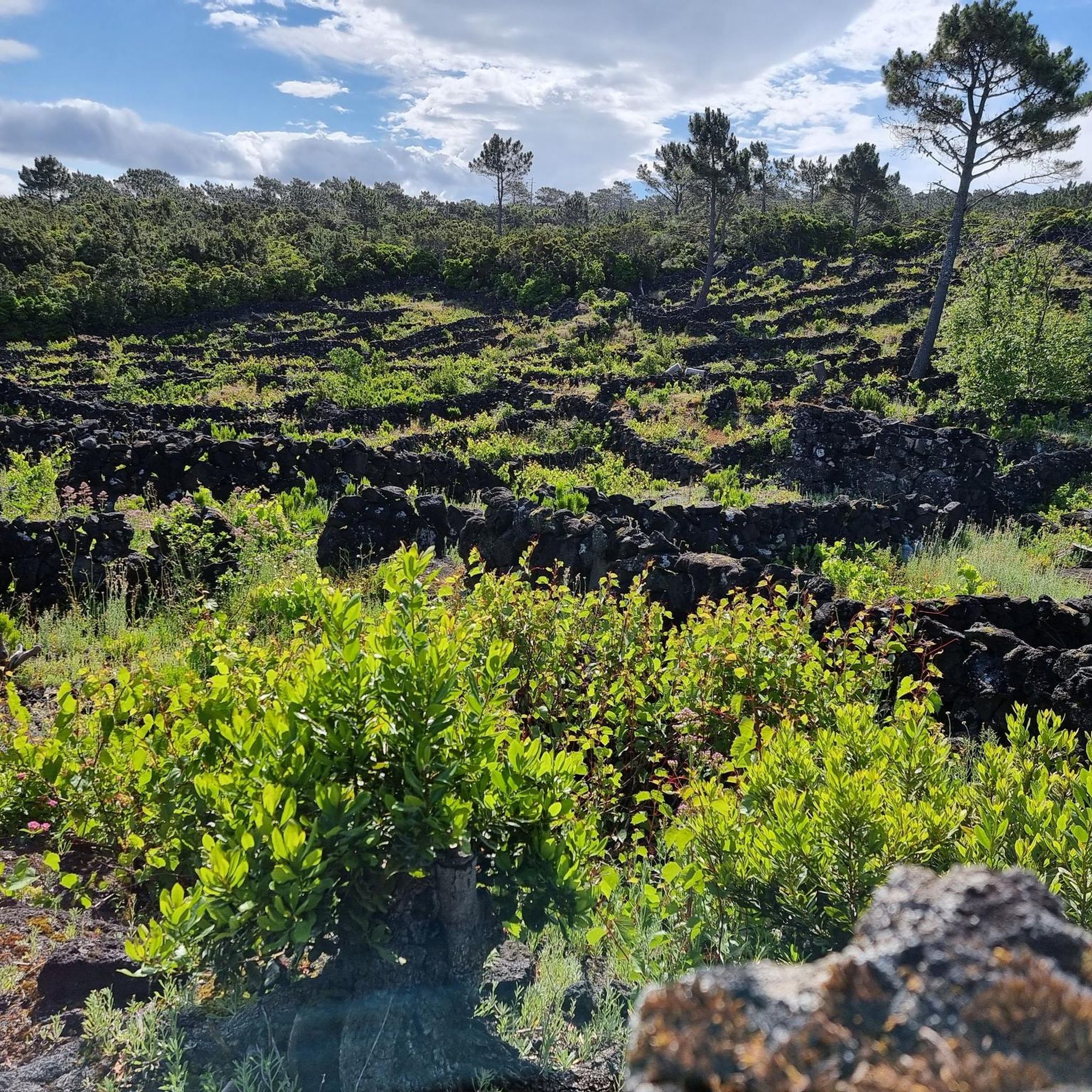
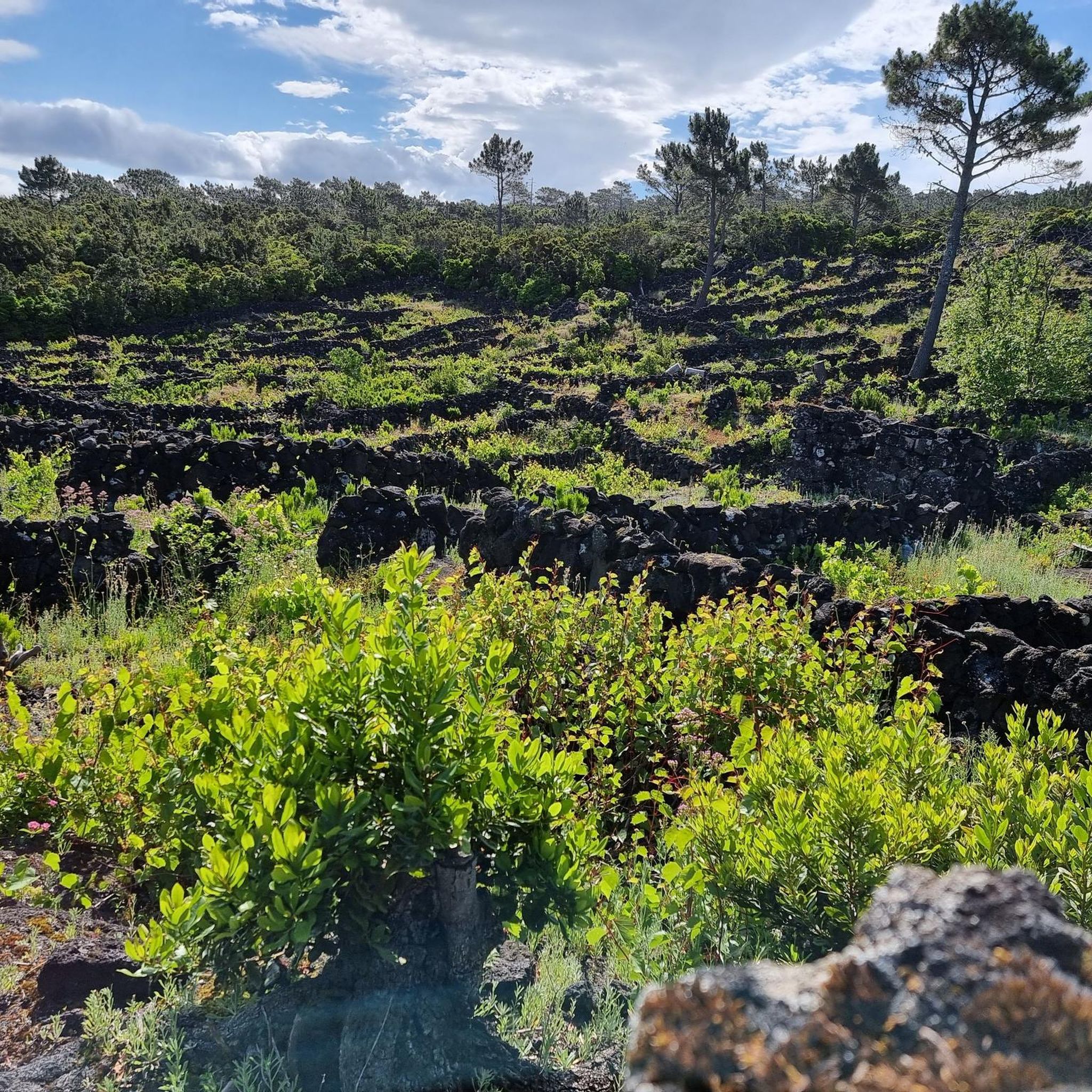
The Mistério de São João Forest Recreation Reserve is a forest park located in the parish of São João, in the municipality of Lajes do Pico, on Pico Island in the Azores. Covering an area of 212 hectares between the parishes of São Caetano and São João, the park is called "Mistério" due to a volcanic eruption in 1718 that destroyed a chapel dedicated to Saint John the Baptist. The park features leisure areas such as picnic spots, a playground, and hiking trails, and is home to notable tree and shrub species like maritime pine and cryptomeria.
0
0


The whaling museum in Lajes do Pico offers an impressive look back to the time when whales were hunted in the Azores rather than just observed. Various products made from the killed animals, lances and harpoons, and a whaling boat are on display. In addition, a film with scenes from a sperm whale hunt is shown in a separate room. The former whale processing factory on Faial (which has also been a museum since the end of whaling in the early 1980s) can also be seen. And like the "Peter's Scrimshaw Museum" in Horta, this museum also houses handicraft exhibits made using the scrimshaw technique. https://de.wikipedia.org/wiki/Scrimshaw
2
0

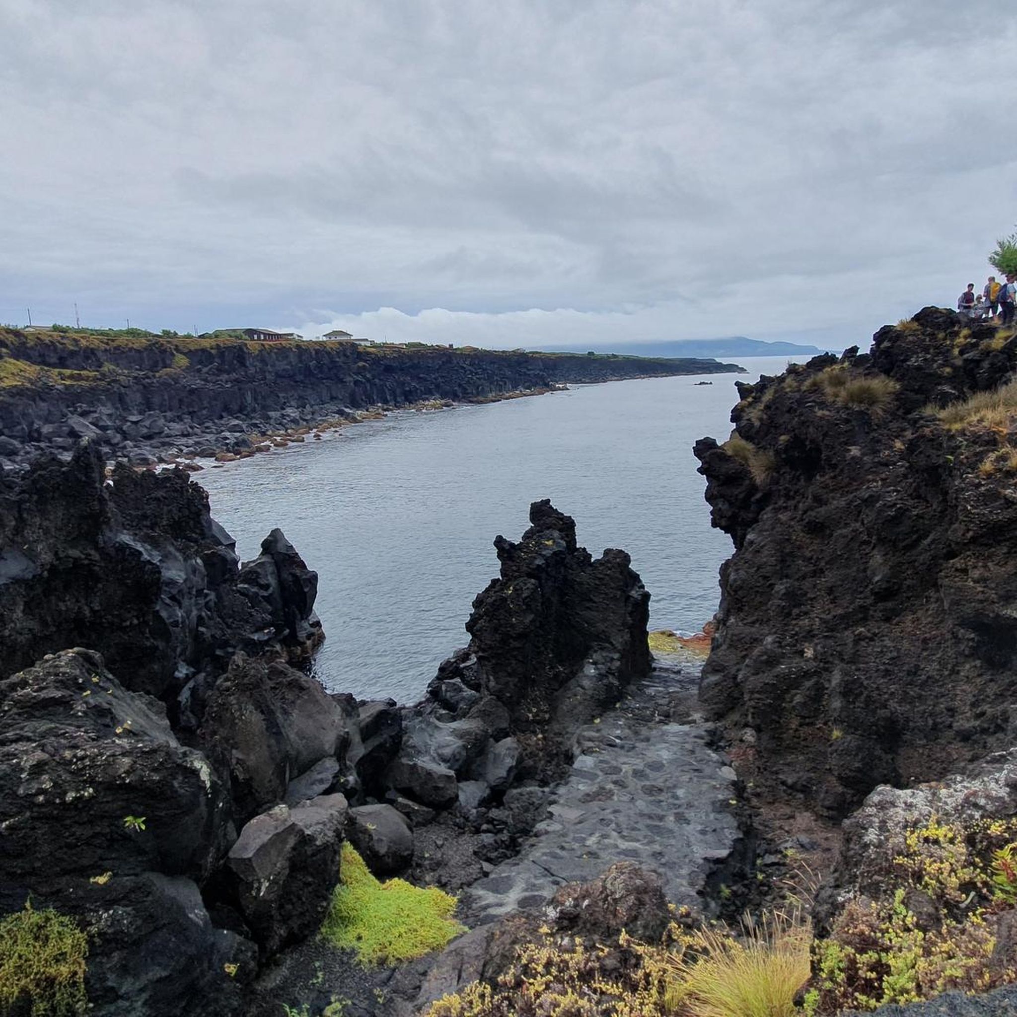
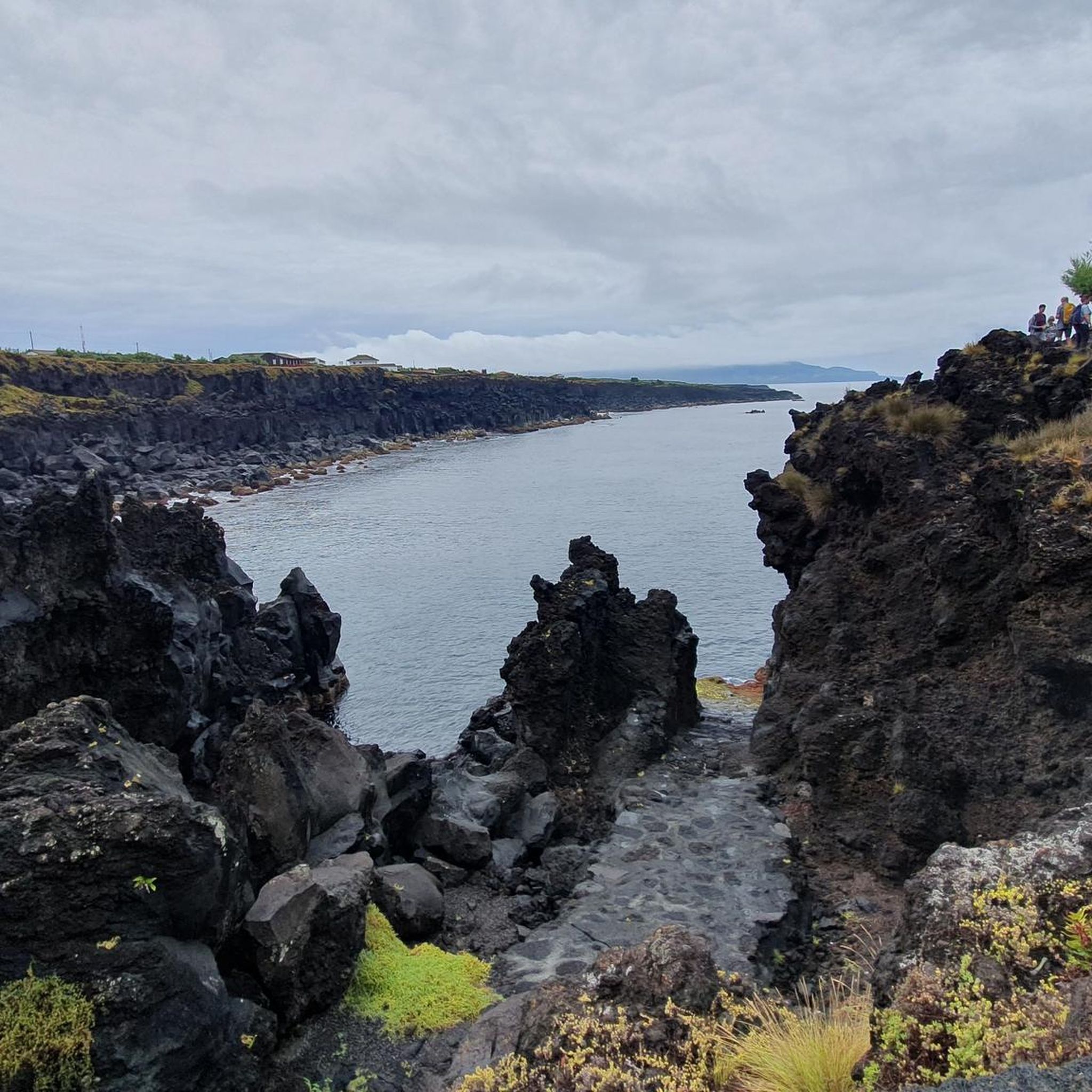
New cycle path that follows the coast parallel to the road. In addition to being a safe alternative to the main road, it is also a very scenic route, with stunning views of the coast and the island.
0
0
At this point on the way up (or descent) from Pico Mountain you have a privileged view. On clear days it is possible to see the entire mountain clearly.
0
0
For those who are going to venture up Pico Mountain, Casa da Montanha is a mandatory stop. Its function is to register and control those who decide to venture towards the summit. A prior authorization request must be made. For those who just come to cycle, it is possible to find something to eat.
0
0
Frequently Asked Questions
How many road cycling routes are available in Bandeiras?
There are 10 road cycling routes available around Bandeiras, catering to various skill levels. You'll find a mix of easy, moderate, and difficult options to explore.
What is the general difficulty level of road cycling in Bandeiras?
Road cycling in Bandeiras is known for its challenging topography. Out of the 10 available routes, 5 are considered difficult, 3 are moderate, and 2 are easy. This means there are plenty of options for experienced riders seeking significant elevation changes, as well as some gentler rides.
What kind of terrain can I expect when road cycling in Bandeiras?
The region around Bandeiras, particularly within Caparaó National Park, offers rugged terrain with significant elevation changes. You can expect routes that transition from lush Atlantic Forest vegetation to alpine environments, with towering peaks and diverse ecosystems. The relief on the Espírito Santo side is notably steep, providing a demanding yet scenic experience.
What do other cyclists say about road cycling in Bandeiras?
The road cycling routes in Bandeiras are highly rated by the komoot community, with an average score of 5.0 stars from 4 reviews. Over 70 road cyclists have used komoot to explore the varied terrain, often praising the extensive views and challenging ascents.
Are there any easy road cycling routes in Bandeiras for beginners?
Yes, there are 2 easy road cycling routes in Bandeiras suitable for beginners or those looking for a more relaxed ride. One such route is the Church of Santa Maria Madalena – Church of Saint Mary Magdalene loop from Reserva Florestal de Recreio de Santa Luzia, which covers about 27.6 km with moderate elevation gain.
Are there challenging road cycling routes for experienced riders in Bandeiras?
Absolutely. Bandeiras is renowned for its challenging routes, with 5 of the 10 available routes rated as difficult. For instance, the Pico Island Tour is a difficult 105.4 km trail with over 1600 meters of elevation gain, offering extensive views. Another demanding option is the Ascent from Montanha do Pico to Casa da Montanha — route on Ilha do Pico, a 43.6 km path involving a substantial climb and panoramic vistas.
What natural features or landmarks can I see while road cycling in Bandeiras?
While road cycling in Bandeiras, you can encounter several natural monuments and attractions. Highlights include the majestic Pico Mountain Summit, the serene Captain's Lagoon, and fascinating geological formations like Furna de Frei Matias and Gruta das Torres caves. The region is also abundant with crystal-clear waters and waterfalls, such as the Bonita Waterfall, though direct road access to all may vary.
Are there any specific viewpoints or panoramic spots along the routes?
Yes, the higher elevations around Bandeiras, especially near Pico da Bandeira, provide breathtaking panoramic vistas. Routes like the Ascent from Montanha do Pico to Casa da Montanha are specifically designed to offer expansive 360-degree views of the surrounding mountains and valleys, often above the clouds.
Are there loop trails for road cycling in Bandeiras?
Yes, several road cycling routes in Bandeiras are designed as loops. An example is the Whalers' Museum – Church of Saint Mary Magdalene loop from Madalena, which is a 82.2 km trail leading through coastal and town landscapes. Another is the Church of Saint Mary Magdalene – View of Pico Mountain loop from Reserva Florestal de Recreio de Santa Luzia, covering 57.1 km.
What is the best time of year to go road cycling in Bandeiras?
Given the region's rugged terrain and towering peaks, the best time for road cycling in Bandeiras generally avoids the harshest weather conditions. While specific seasonal data isn't provided, the presence of alpine environments suggests that spring and autumn might offer more temperate conditions, avoiding extreme heat or potential winter challenges at higher altitudes. Always check local weather forecasts before your ride.
Is parking available at the trailheads for road cyclists in Bandeiras?
While specific parking details for each trailhead are not provided, as a popular outdoor destination, it is generally expected that designated parking areas are available near common starting points for routes, especially within or near Caparaó National Park. It's advisable to check local information or route descriptions on komoot for specific parking recommendations before heading out.
Most popular routes around Bandeiras
Most popular attractions around Bandeiras

Get inspired with the komoot mobile app


Explore more
Browse the best Road cycling routes in other regions.
