The best running trails around Ajuda Da Bretanha
4.6
(14)
587
runners
24
runs
Jogging routes around Ajuda Da Bretanha traverse a landscape characterized by varied terrain, including trails around lagoons and paths with significant elevation changes. The region offers a mix of moderate and challenging running experiences, with some routes featuring views of calderas and causeways. Runners can explore a network of trails that wind through natural settings, providing diverse options for different fitness levels.
Best jogging routes around Ajuda Da Bretanha
- The most popular jogging route is Atalho dos Vermelhos Trail,…
Last updated: October 21, 2026
3.5
(2)
16
runners
5.45km
00:39
140m
140m
Jog the Atalho dos Vermelhos Trail, a 3.4-mile moderate route with 469 feet of elevation gain and stunning coastal views.
4.5
(2)
168
runners
Hard run. Very good fitness required. Sure-footedness, sturdy shoes and alpine experience required.

52
runners
5.93km
00:43
110m
110m
Moderate run. Good fitness required. Mostly paved surfaces.
5.0
(1)
24
runners
8.88km
01:00
50m
50m
Moderate run. Good fitness required. Mostly paved surfaces.
30
runners
4.78km
00:36
130m
130m
Moderate run. Good fitness required. Mostly paved surfaces.
Get access to more routes and recommendations from other explorers.
Already have an account?
Our route recommendations are based on thousands of hikes, rides, and runs completed by other people on komoot.
Start today with a free account
Your next adventure awaits.
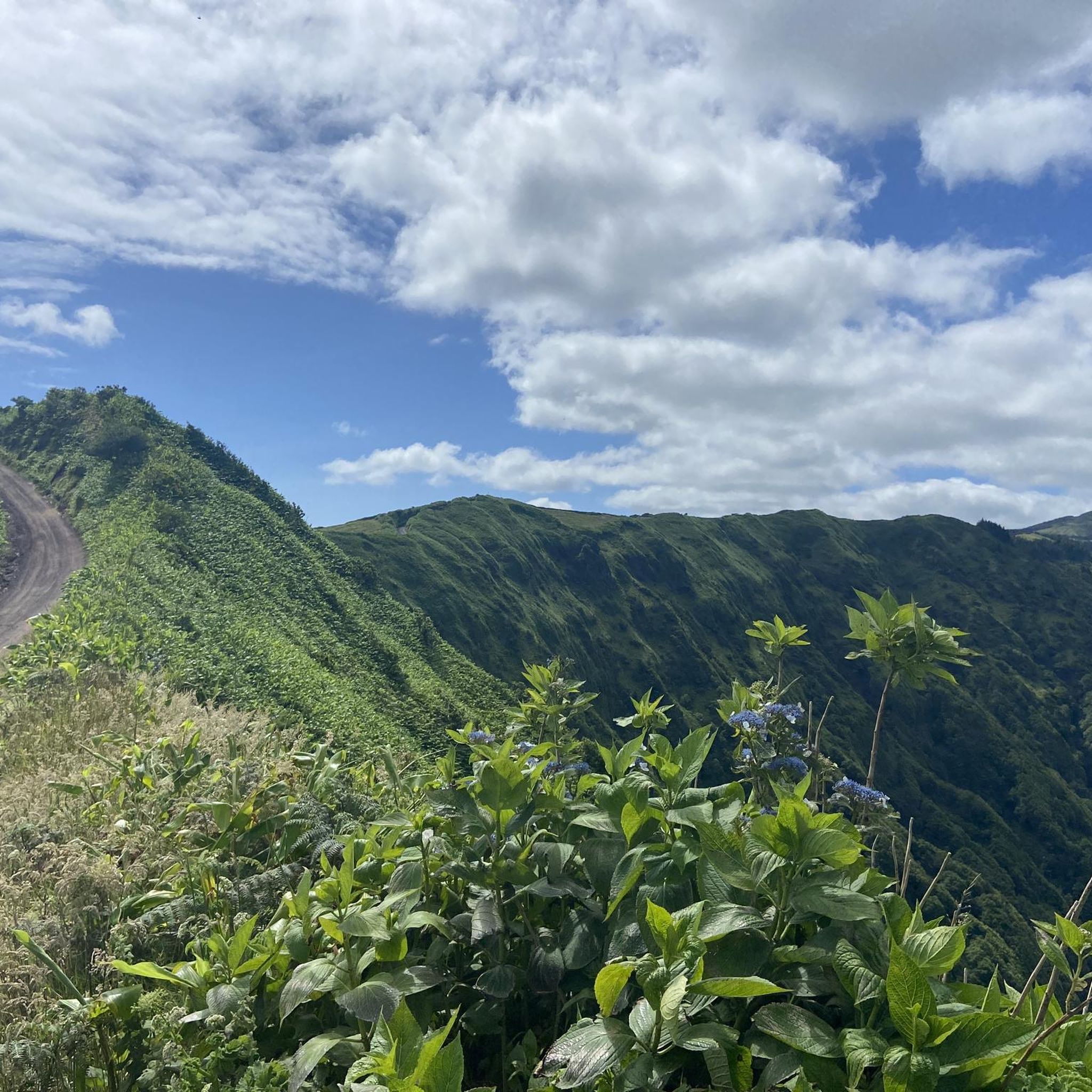
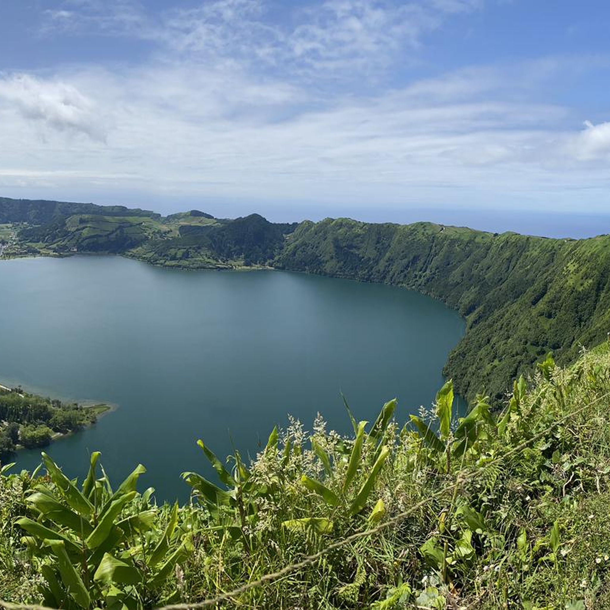
Tips from the Community

Walking counter-clockwise, for the first 2.5 km you have spectacular views of the coastal panorama on a narrow single trail, mostly downhill. The rest of the route on wide gravel paths is easy to walk but less spectacular.
0
0

Today it was rainy and the path was slippery, some fallen trees and the dense vegetation at the edge of the path were a bit more challenging than "an easy hike".
0
0

Part of the trail is quite challenging. I wouldn't rate it "easy"; it gets steep, slippery, and requires some climbing. Not recommended without hiking boots, and not suitable for small children or dogs. But it was a lot of fun :)
1
0
1/3 of the trail is a survival trail and sometimes the trail is no longer clear. Good footwear is required
1
0
The path remains difficult to navigate due to large, fallen trees and roots, and is also somewhat slippery in places. If you know this and are up for a little adventure, go for it.
5
0
The path up to the bridge is CLOSED! Private mountain bike path…
0
0

Rustic narrow path. It's constantly up and down and there are lots of climbing sections. Over fallen trees, rocks. Quite difficult, not recommended for children.
2
0
The climb leads through a beautiful jungle section. Very slippery when it rains. When you're almost at the top, the recommended path leads to the right into the bushes. After half an hour it ends. Be sure to continue straight on the other hiking trail.
0
1
Frequently Asked Questions
How many running routes are available in Ajuda Da Bretanha?
There are over 25 dedicated running routes around Ajuda Da Bretanha, offering a diverse range of experiences from moderate to challenging terrains.
Are there any easy running trails for beginners in Ajuda Da Bretanha?
Yes, Ajuda Da Bretanha offers several easier running options. You can find about 4 routes suitable for beginners, which are generally shorter and have less elevation gain.
What kind of terrain can I expect on the jogging routes in Ajuda Da Bretanha?
The running routes in Ajuda Da Bretanha are characterized by varied terrain, including trails around lagoons, causeways, and paths with significant elevation changes. You'll encounter a mix of natural surfaces, often with views of volcanic landscapes.
Are there any circular running routes in Ajuda Da Bretanha?
Yes, many of the running routes in Ajuda Da Bretanha are circular, allowing you to start and end at the same point. An example is the Sete Cidades Causeway loop from Sete Cidades, which offers scenic views around the lagoon.
What can I see along the running routes in Ajuda Da Bretanha?
Many routes offer stunning natural sights. For example, you might pass by the Vista do Rei viewpoint, the Dam Between Lagoa Azul and Lagoa Verde, or the picturesque Lake Canário. These trails often provide panoramic views of the region's unique volcanic landscape.
Are there any longer, more challenging running trails for experienced runners?
Absolutely. For those seeking a greater challenge, routes like the Cabral Bumper Cars – View from Pico da Cruz loop from Lagoon of the Seven Cities cover nearly 30 km with significant elevation changes, providing a demanding and rewarding experience.
What do other runners enjoy most about the trails in Ajuda Da Bretanha?
The running trails in Ajuda Da Bretanha are highly rated by the komoot community, with an average score of 4.6 stars. Runners often praise the stunning natural beauty, the variety of terrain, and the unique experience of running around volcanic lagoons and causeways.
Are there any running routes that pass by interesting landmarks or points of interest?
Yes, several routes offer glimpses of local landmarks. You could explore trails near the historic Monte Palace Hotel or enjoy views from Mares' Peak. These routes combine physical activity with cultural and scenic exploration.
What is the typical length of running trails in Ajuda Da Bretanha?
The lengths of running trails vary significantly. You can find shorter routes like the Atalho dos Vermelhos Trail at about 5.4 km, up to much longer and more challenging routes exceeding 20 km, catering to different fitness levels and time commitments.
Is Ajuda Da Bretanha a good place for family-friendly running or jogging?
While some routes feature significant elevation, there are moderate options suitable for families looking for a less strenuous jog. Focus on the shorter, less challenging trails, especially those around the lagoons, which tend to have more even surfaces.
Are there any running routes that offer unique views of the Sete Cidades area?
Definitely. The Lagoa Azul – Cabral Bumper Cars loop from Sete Cidades is a great option, leading through areas near the iconic Lagoa Azul and providing excellent perspectives of the twin lakes and their surrounding caldera.
What is the best time of year for running in Ajuda Da Bretanha?
The Azores generally have a mild climate year-round. Spring and early autumn often offer the most pleasant conditions for running, with comfortable temperatures and lush landscapes. Summers can be warm, and winters might bring more rain, so checking local weather is always advisable.
Most popular attractions around Ajuda Da Bretanha

Get inspired with the komoot mobile app


Explore more
Browse the best Running Trails & Routes in other regions.
