The best running trails around Santo Amaro
3.8
(4)
76
runners
8
runs
Jogging routes around Santo Amaro offer diverse terrain across São Jorge Island in the Azores. The region is characterized by its volcanic landscape, featuring elevated peaks, coastal paths, and lush green areas. Running trails often traverse varied elevations, providing views of the Atlantic Ocean and the island's natural beauty. These routes cater to different fitness levels, from moderate loops to more challenging ascents.
Best jogging routes around Santo Amaro
- The most popular jogging route is Pico da Esperança e Morro…
Last updated: August 20, 2026
5.0
(1)
16
runners
Moderate run. Good fitness required. Mostly accessible paths. Some sure footedness required.
15
runners
27.5km
03:42
1,080m
1,080m
Hard run. Very good fitness required. Mostly accessible paths. Some sure footedness required.

Sign up for free
3.0
(1)
24
runners
5.92km
00:38
90m
90m
Moderate run. Good fitness required. Mostly paved surfaces. Suitable for all skill levels.
4
runners
5.22km
00:34
80m
80m
Moderate run. Good fitness required. Mostly paved surfaces. Suitable for all skill levels.
2
runners
5.87km
00:44
200m
200m
Moderate run. Good fitness required. Mostly paved surfaces. Suitable for all skill levels.
Get access to more routes and recommendations from other explorers.
Sign up for free
Already have an account?
Our route recommendations are based on thousands of hikes, rides, and runs completed by other people on komoot.
Start today with a free account
Your next adventure awaits.
Login or Signup
Popular around Santo Amaro
Tips from the Community

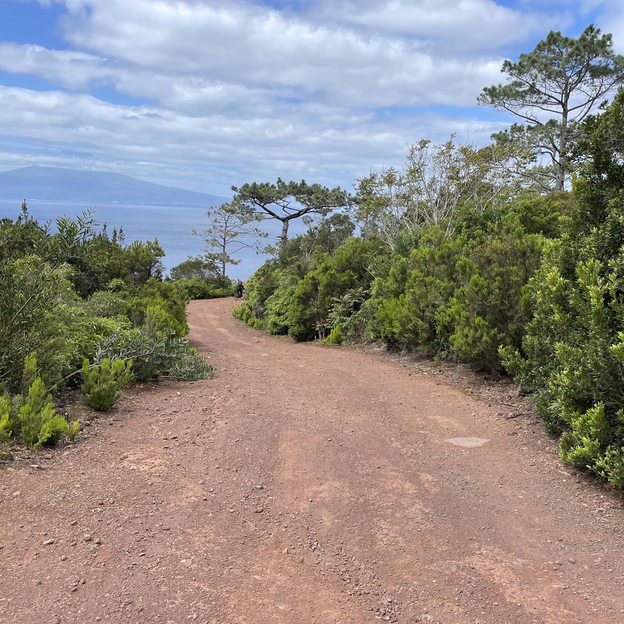
Right at the beginning of the trail that leads to Pico da Esperança, the highest point in Portugal appears on the horizon: Pico Mountain and its 2351m above sea level. The Atlantic Ocean hides something even more impressive: starting from the abyssal zone, the mountain reaches more than 5000m in altitude.
2
0
Just look at a map to realize that São Jorge Island is a long mountain range - even with the Atlantic hiding and submerging much of the mountain range. The highest point of the Island is Pico da Esperança, with its 1053 meters of altitude, a volcanic mountain with abundant vegetation of high botanical value.
0
0
Pico Pelado is located in the central massif of São Jorge Island, and is the second highest point on the island. Despite this, there is no official access trail to the Pico, this being one of the points where you can see it best along the route.
0
0
More than a rocky structure, a signature of how beautiful the contrast is between volcanic activity and the omnipresence of the Atlantic. A simultaneously sweet and bitter memory, about the cycle of life and the inevitable future of the Azores - even if very distant.
1
0
The most charming street in Velas is, without a doubt, Rua Francisco Lacerda. It connects Jardim da República to the Igreja Matriz de São Jorge - patron saint of the island of the same name. Along the footwear there are several designs made with typical tiles.
3
0
The Chapel of Nossa Senhora do Livramento was built in 1697. It has basalt stonework. The hermitage has a local legend related to the protection of the population, and an annual festival is held in honor of the saint.
2
0
Place where you can appreciate the beauty of Fajã do Ouvidor. It is even, in some ways, a didactic place: a fajã is nothing more than a portion of flat land by the sea of volcanic origin, flanked by cliffs. From this point you have a visual understanding of the meaning of the word.
0
0
Close to Pico do Areeiro, in the central massif of São Jorge Island, the highest point in Portugal appears on the horizon: Pico Mountain with its 2351m altitude in relation to sea level. The Atlantic Ocean hides something even more impressive: starting from the abyssal zone, the mountain reaches more than 5000m in altitude.
1
0
Frequently Asked Questions
How many running routes are available around Santo Amaro?
There are 8 dedicated running routes around Santo Amaro on São Jorge Island, Azores. These routes range from moderate to difficult, offering diverse terrain for various fitness levels.
What kind of terrain can I expect on the jogging trails in Santo Amaro?
The jogging trails in Santo Amaro traverse a volcanic landscape, featuring elevated peaks, coastal paths, and lush green areas. You'll encounter varied elevations, providing stunning views of the Atlantic Ocean and the island's natural beauty.
Are there any easy or beginner-friendly running routes in Santo Amaro?
While most routes are classified as moderate, options like the Running loop from Urzelina (São Mateus) offer a shorter, less strenuous experience with gentle elevation changes, making it suitable for those looking for a more relaxed run.
What are some notable natural attractions or viewpoints along the running routes?
Many routes offer breathtaking views. You can explore highlights such as the Pico da Esperança Crater Lake, or the impressive Natural Arch of São Jorge. The trails often lead through areas with panoramic ocean vistas and volcanic scenery.
Are there any circular running routes in Santo Amaro?
Yes, several routes are designed as loops. For example, the Running loop from Urzelina (São Mateus) and the Furna das Pombas loop from Urzelina (São Mateus) are excellent circular options for runners.
What do other runners say about the trails in Santo Amaro?
The running routes in Santo Amaro are highly rated by the komoot community, with an average score of 3.7 stars. Runners often praise the diverse volcanic landscapes, coastal views, and the variety of challenges offered by the trails.
Are there any longer, more challenging running trails for experienced runners?
Absolutely. For experienced runners seeking a challenge, the PR04SJO Pico do Pedro – Pico da Esperança – Fajã do Ouvidor Trail is a difficult 17.1-mile route leading through mountainous terrain, often completed in under four hours.
Can I find places to see or landmarks near the running paths?
Yes, beyond the natural beauty, you can find interesting landmarks. The Hermitage of Our Lady of Deliverance and the Jardim da Praça da República are examples of cultural and historical points of interest that might be near some routes or worth visiting after your run.
What is the typical duration for completing a running route in Santo Amaro?
The duration varies significantly by route and your pace. Moderate routes like Pico da Esperança e Morro Pelado typically take around 1 hour 30 minutes, while more challenging trails can extend to over 3 hours.
Are there any running routes that offer coastal views?
Yes, many of the routes in Santo Amaro incorporate coastal sections or offer expansive views of the Atlantic Ocean, especially as they traverse the island's varied elevations. The volcanic landscape often provides dramatic backdrops to the sea.
What makes running in Santo Amaro unique compared to other regions?
Running in Santo Amaro is unique due to its setting on São Jorge Island in the Azores. The volcanic landscape, with its distinct peaks, lush green areas, and dramatic coastal paths, offers a dynamic and visually rewarding experience that combines challenging terrain with stunning natural beauty.
Most popular routes around Santo Amaro
Most popular attractions around Santo Amaro

Get inspired with the komoot mobile app


Explore more
Browse the best Running Trails & Routes in other regions.
