The best walks and hikes around Espírito Santo
4.5
(164)
566
hikers
39
hikes
Hiking around Espírito Santo offers diverse landscapes, from rugged mountains to lush forests and a picturesque coastline. The region is characterized by its Atlantic Forest biome, which provides a rich environment for various trails. Hikers can explore high-altitude environments, valleys, and areas with unique rock formations. The terrain includes both challenging mountain paths and more accessible park trails.
Best hiking trails around Espírito Santo
- The most popular hiking route is Mértola Castle – View of Mértola loop from Mértola,…
Last updated: May 15, 2026
3.4
(18)
56
hikers
12.0km
03:24
270m
270m
Moderate hike. Good fitness required. Easily-accessible paths. Suitable for all skill levels.
3.6
(14)
53
hikers
7.77km
02:16
220m
220m
Moderate hike. Good fitness required. Easily-accessible paths. Suitable for all skill levels.

Sign up for free
4.7
(7)
22
hikers
6.16km
01:39
70m
70m
Easy hike. Great for any fitness level. Easily-accessible paths. Suitable for all skill levels.
4.4
(11)
23
hikers
8.89km
02:31
190m
190m
Moderate hike. Good fitness required. Easily-accessible paths. Suitable for all skill levels.
4.0
(1)
6
hikers
22.3km
06:18
450m
450m
Hard hike. Very good fitness required. Mostly accessible paths. Sure-footedness required.
Get access to more routes and recommendations from other explorers.
Sign up for free
Already have an account?
Our route recommendations are based on thousands of hikes, rides, and runs completed by other people on komoot.
Start today with a free account
Your next adventure awaits.
Login or Signup
Other adventures around Espírito Santo

Tips from the Community

High on a hill near Afonso Vicente, stand the Lavajo Menhirs, Neolithic stone sentinels that have guarded the silence of this valley for over five thousand years. Carved in greywacke and engraved with circles and dimples, these monoliths seem to align themselves in an ancient mystery. Recovered and restored in 2004, they have returned to their original location, inviting passersby to imagine a time when the stone spoke to the sun.
2
0
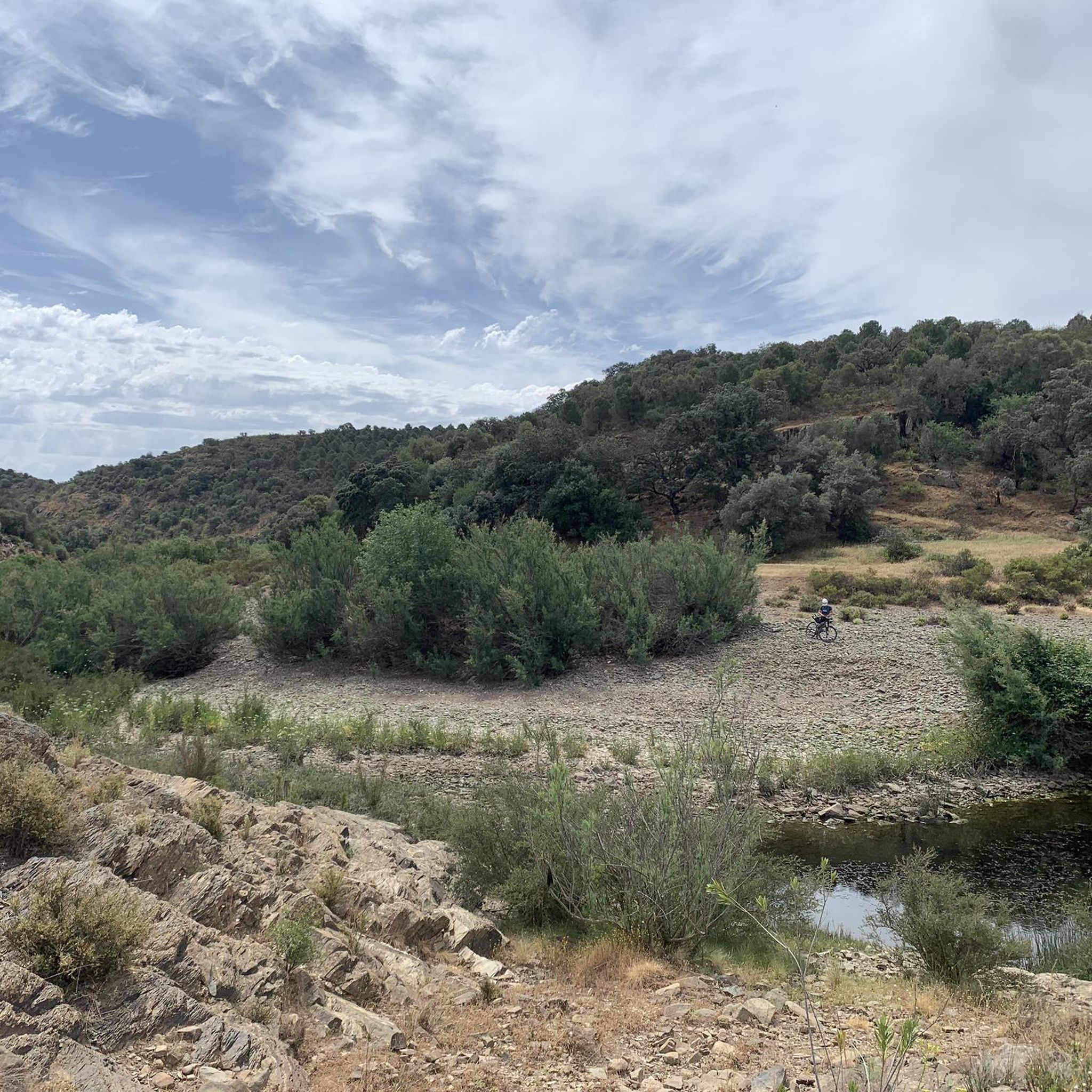
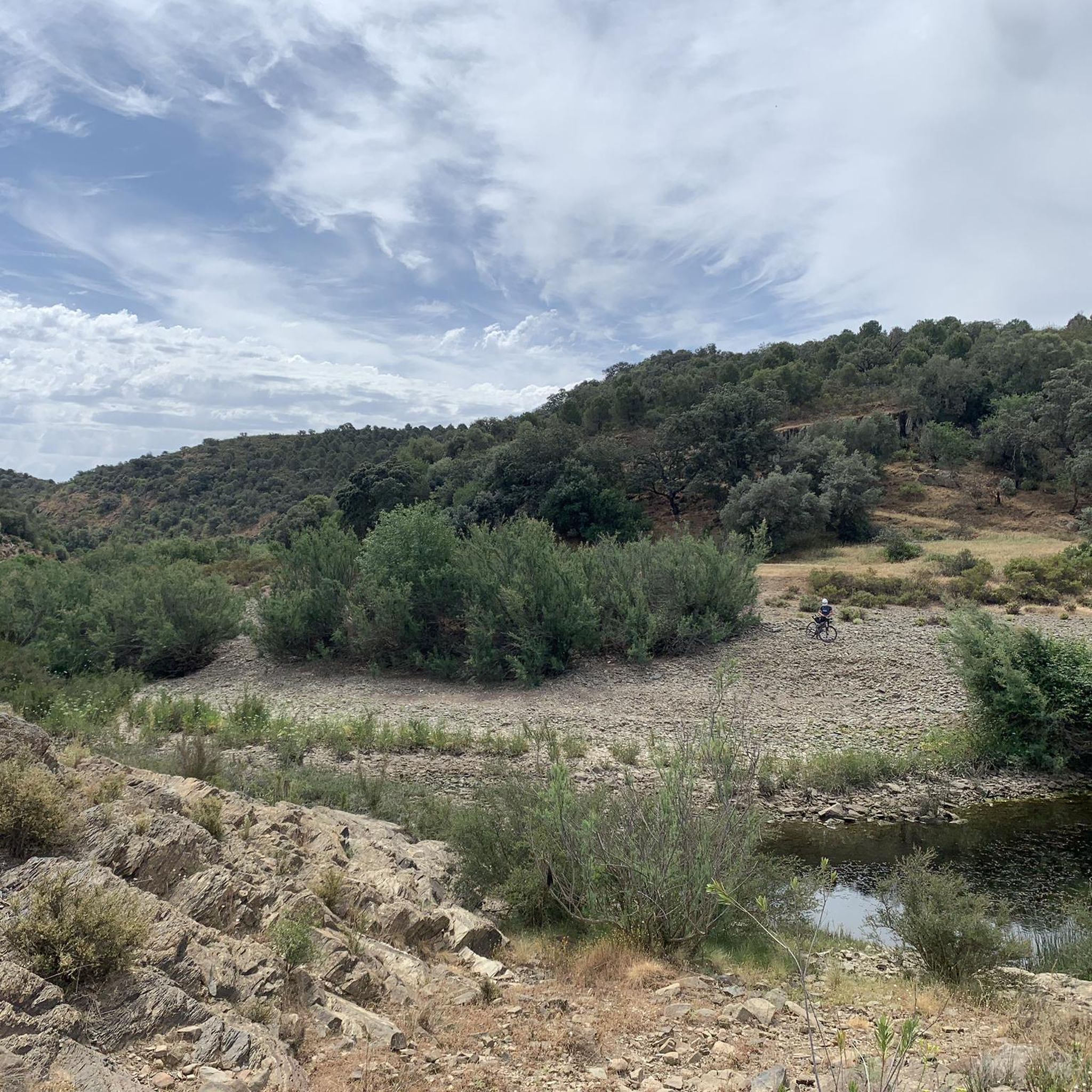
Originating in the Caldeirão Mountains, this stream meanders down to the Guadiana, preserving one of the best-preserved riverbeds in the river basin along its mountainous course. In winter, it rushes down, carrying mud, sediment, and vegetation debris, carving the valley with sheer force. But it is in spring that it is reborn, crystal clear and fresh, until the summer heat causes it to shrink into thin streams, leaving only shimmering pools in the dry riverbed.
1
0
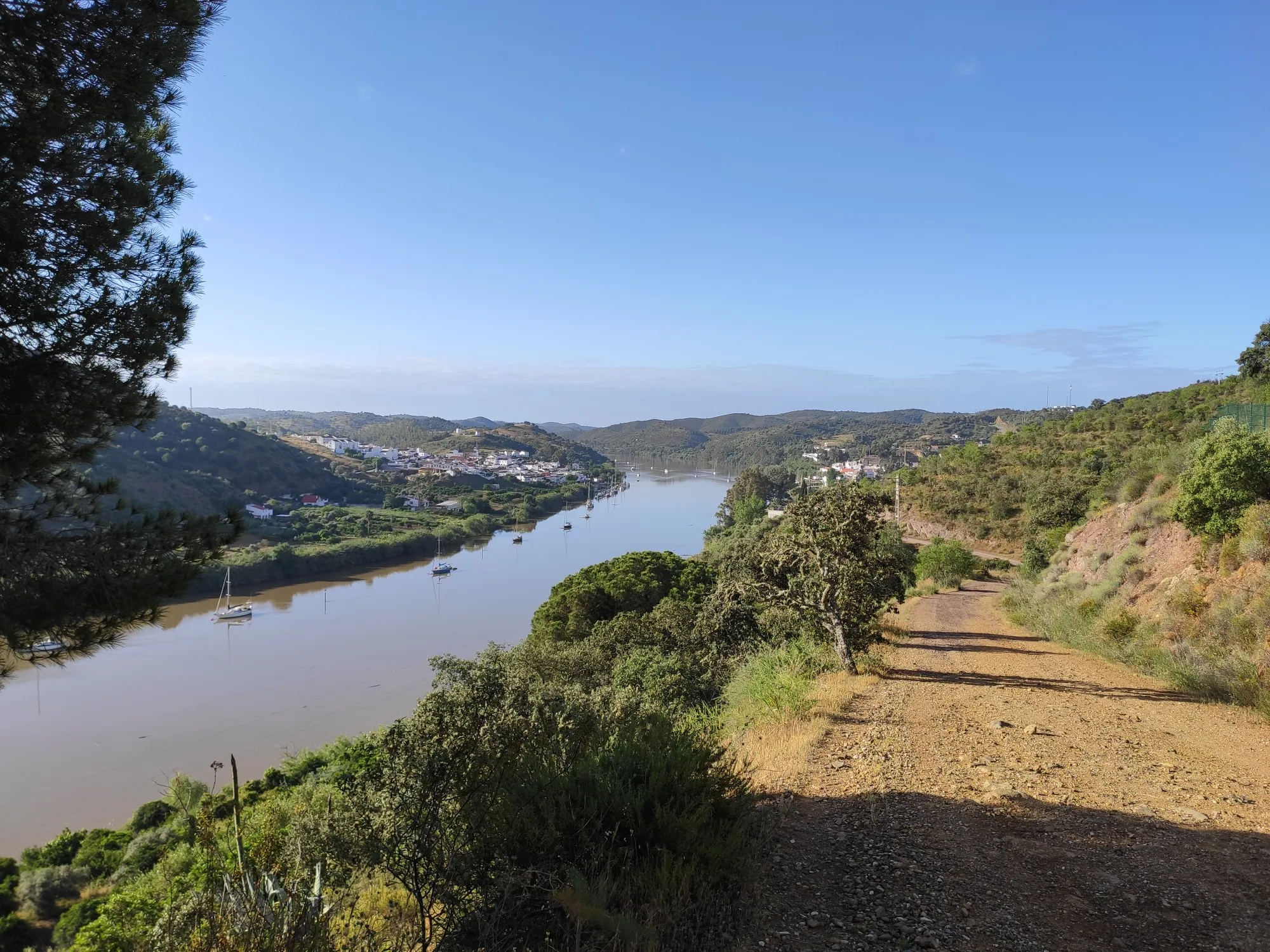
As you follow the banks of the Guadiana, your gaze becomes lost in the river's shimmer, the rolling hills, and the seemingly endless greenery. On the other side, you're already in Spain, but the landscape is the same: a reminder that the Guadiana unites more than it separates the two countries.
1
0

A cross depicting the Crucified Christ, supported by an abacus bearing an inscription. The shaft is connected to the capital by an iron ring, on which rests a rod with hooks for holding oil lamps.
1
0
This archaeological site is located next to the castle and is open to visitors. It's interesting for the curious, with or without prior knowledge. Admission is free. More
3
0
The Mezquita Mosque, now the Igreja de Nossa Senhora da Assunção Matriz, was built below the castle complex in the mid-12th century as a square building with a minaret. After the Reconquista by Sancho II, King of Portugal, in 1238, the Mezquita of Mértola, then supplemented by a small bell tower on the minaret, retained its original form for almost 300 years. In 1532, the Mezquita was converted into a church in its present form, with striking small battlements and turrets on the roof. The original mosque was never destroyed.
3
0
In 1982, a major fire destroyed the entire town hall of Mértola, built at the end of the 19th century. In 1984, during reconstruction work, archaeological remains were identified that correspond to the structures of a residential building from the Roman period (1st-4th centuries BC).
0
0
The battlements and cones along the edge of the church's roof are striking, clearly a reminder of the former mosque. The interior of the church is rather plain compared to many others in Portugal. However, the vaulted ceiling is very beautiful.
3
0
Frequently Asked Questions
What types of landscapes can I expect to see while hiking in Espírito Santo?
Espírito Santo offers a diverse range of landscapes for hikers. You'll find rugged mountains, lush Atlantic Forest, and scenic coastal areas. The region is particularly known for its unique rock formations, such as Pedra Azul, and high-altitude environments like Pico da Bandeira, providing varied terrain and stunning views.
Are there hiking trails suitable for beginners in Espírito Santo?
Yes, Espírito Santo has a good selection of trails for beginners. Out of nearly 40 routes, 14 are classified as easy. An example of an easy route is the Lavajo Menhirs – Shamwari Hilltop Retreat loop from Vascão, which is about 6.2 km long and takes less than 2 hours to complete.
What are the most challenging hikes in Espírito Santo?
For experienced hikers seeking a challenge, Espírito Santo offers several difficult routes. There are 3 difficult trails available, such as the Along the Guadiana River – Shamwari Hilltop Retreat loop from Mesquita, which spans over 22 km and features significant elevation changes. The region's high peaks, like Pico da Bandeira, also present demanding treks.
Can I find circular hiking routes in Espírito Santo?
Yes, many of the hiking routes in Espírito Santo are designed as loops, allowing you to start and end at the same point. For example, the Mértola Castle – View of Mértola loop from Mértola is a moderate 12 km circular trail offering scenic views.
What natural attractions can I discover along the trails in Espírito Santo?
Espírito Santo's trails lead to various natural wonders. You can explore the iconic Pedra Azul (Blue Stone) in Pedra Azul State Park, known for its color-changing rock formation and natural pools. Many routes also traverse the rich Atlantic Forest, offering opportunities to see diverse flora and fauna, rivers, and waterfalls. The Guadiana Riverside at Bombeira is another beautiful natural highlight.
Are there any historical landmarks or points of interest near the hiking trails?
Yes, several hiking areas in Espírito Santo are close to historical landmarks. For instance, you can explore various castles and archaeological sites. Notable examples include Mértola Castle and Castelo de Alcoutim, which are often part of or easily accessible from hiking routes.
What do other hikers say about the trails in Espírito Santo?
The hiking trails in Espírito Santo are highly regarded by the komoot community, holding an average rating of 4.5 stars from over 150 reviews. Hikers frequently praise the diverse terrain, from lush forests to mountain views, and the well-maintained paths that cater to various skill levels.
Are there any trails that offer views of the coastline or urban areas?
Yes, for those interested in coastal or urban views, Morro do Moreno in Vila Velha offers an accessible hike with abundant Atlantic Forest greenery and incredible panoramic views of the entire region and city. Some trails also provide scenic overlooks of rivers, such as the Beautiful path along the Guadiana.
What is the best time of year to go hiking in Espírito Santo?
Espírito Santo generally offers good hiking conditions year-round due to its tropical climate. However, the cooler, drier months (typically May to September) are often preferred for more comfortable hiking, especially for longer or more challenging routes like those in high-altitude areas such as Caparaó National Park.
How many hiking routes are available in Espírito Santo?
There are nearly 40 hiking routes available in Espírito Santo, offering a wide range of options for different preferences and fitness levels. This includes 14 easy, 22 moderate, and 3 difficult trails.
Are there trails that pass by unique rock formations?
Absolutely. Espírito Santo is famous for its distinctive rock formations. Pedra Azul State Park is home to the iconic Pedra Azul, a granite formation that changes color with the sunlight. Another notable monolith is Pedra Roxa, known for its purplish hue, offering unique scenic backdrops for hikers.
Can I find moderate difficulty trails in Espírito Santo?
Yes, the majority of trails in Espírito Santo are of moderate difficulty, with 22 routes falling into this category. These trails offer a good balance of challenge and accessibility, such as the Cortes Pereiras Mural – Shamwari Hilltop Retreat loop from Vascão, which is about 8.9 km long.
Most popular attractions around Espírito Santo

Get inspired with the komoot mobile app


Explore more
Browse the best Hikes in other regions.
