The best cycling routes around Painzela
4.8
(32)
171
riders
9
rides
Touring cycling around Painzela offers routes through a landscape defined by varied elevations and river valleys. The region features a mix of open countryside and areas that hint at former railway lines, now converted into ecotrails. These routes often include significant elevation changes, providing a challenging experience for touring cyclists. The terrain primarily consists of rolling hills and natural pathways.
Best touring cycling routes around Painzela
- The most popular touring cycling route is Celorico de Basto Ecotrail – Arco de…
Last updated: November 3, 2026
4.6
(20)
97
riders
Hard bike ride. Very good fitness required. Mostly paved surfaces.
4.9
(11)
50
riders
Moderate bike ride. Good fitness required. Mostly paved surfaces.

11
riders
18.9km
01:16
250m
250m
Moderate bike ride. Good fitness required. Mostly paved surfaces.
9
riders
44.2km
04:18
1,250m
1,260m
Hard bike ride. Very good fitness required. Mostly paved surfaces.
5.0
(1)
4
riders
42.5km
02:52
700m
700m
Hard bike ride. Very good fitness required. Mostly paved surfaces.
Get access to more routes and recommendations from other explorers.
Already have an account?
Our route recommendations are based on thousands of hikes, rides, and runs completed by other people on komoot.


Tips from the Community

Beautiful route, you can also ride only sections from Mondim de Basto, e.g. 24 km or 55 km. Thus, it is also possible as a relaxed late afternoon tour.
0
0

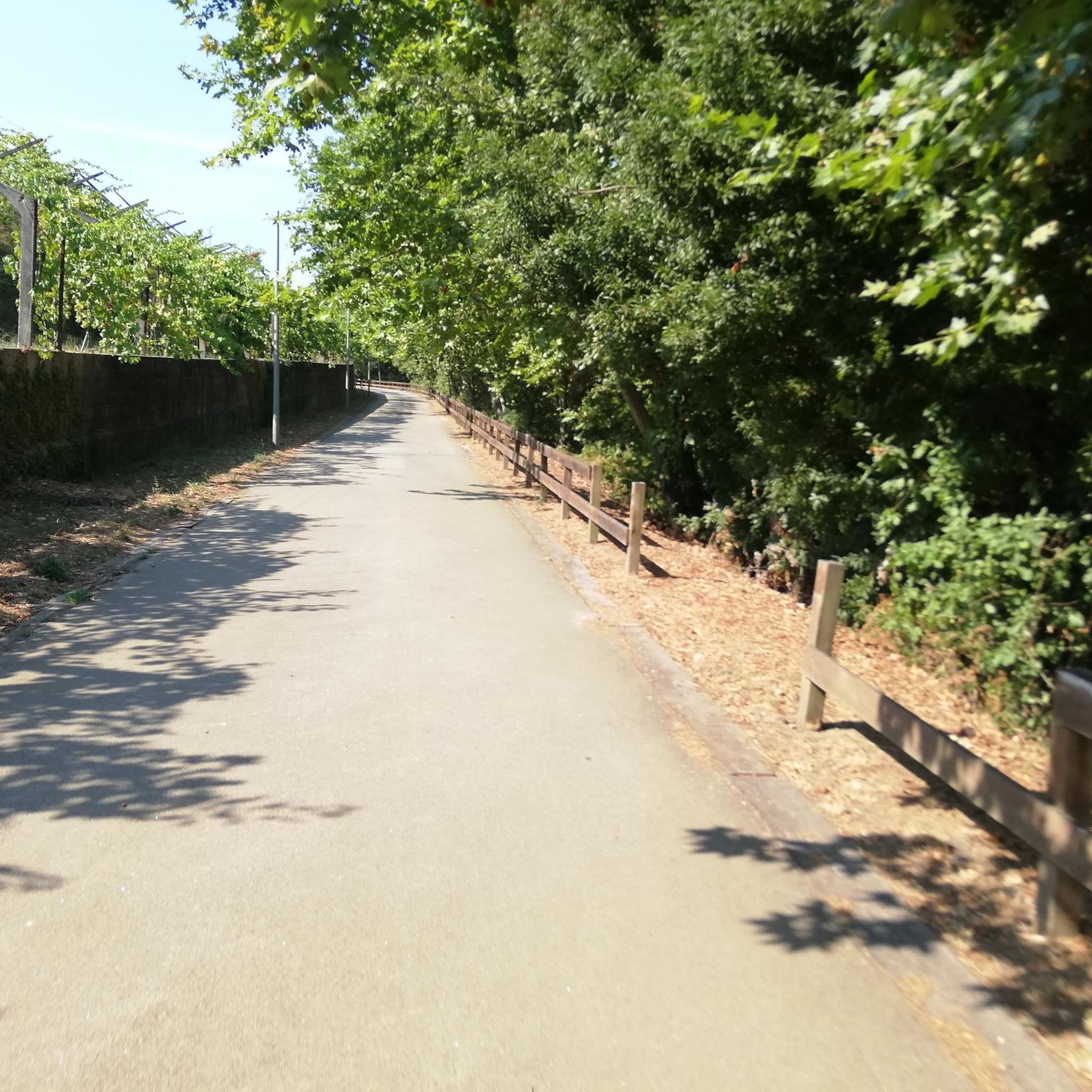
A peaceful route with stunning views over the Tâmega River; in autumn, enjoy the falling leaves and their variety of colors. A safe place to cycle – be careful when crossing local roads, which are usually marked. At a sporting level, sufficiently challenging – 80 kilometers and 800 meters of elevation gain (round trip between Amarante and Arco de Baulhe). Restaurants and/or bars are available at the Gatão, Celorico, and Mondim de Basto train stations.
0
0

Approach to Monte Farinha in Mondim de Basto
0
0

Relatively flat. Very pleasant.
1
0

Mondim de Basto, on the banks of the Tâmega, holds memories of many peoples. Although it was only founded in the 12th century, during the reign of D. Sancho I, its roots are much older.
1
0

View across the vineyards toward the mountain
0
0

It's a lovely old train station which now hosts a museum, open in the morning until 12 and in the afternoon from 2 pm.
1
0
Frequently Asked Questions
How many touring cycling routes are available around Painzela?
There are 9 touring cycling routes documented around Painzela on komoot. These routes cater to various skill levels, though most are considered difficult.
What is the general difficulty level of touring cycling routes in Painzela?
The touring cycling routes around Painzela are predominantly challenging. Out of 9 routes, 8 are rated as difficult, and 1 is moderate. There are no easy routes listed, indicating that cyclists should be prepared for significant elevation changes and demanding terrain.
Are there any family-friendly or beginner touring cycling routes in Painzela?
Given the challenging nature of the terrain, with most routes rated difficult and no easy routes available, Painzela may not be ideal for beginners or young families looking for very gentle rides. Cyclists should be comfortable with significant elevation changes and longer distances.
What kind of terrain can I expect on touring cycling routes in Painzela?
The terrain around Painzela is characterized by rolling hills, river valleys, and converted ecotrails. You can expect a mix of natural pathways and former railway lines, often featuring substantial elevation changes, providing a challenging experience.
What are some of the longer touring cycling routes in Painzela?
For those seeking longer rides, the Long Climb or Descent Pathway – Arco de Baúlhe Train Station loop from Arco de Baúlhe covers 33.1 miles (53.3 km) with significant elevation. Another option is the Albufeira do Oural loop from Cabeceiras de Basto, which is 27.4 miles (44.2 km) long.
Are there any circular touring cycling routes in Painzela?
Yes, many of the touring cycling routes in Painzela are circular. For example, the Celorico de Basto Ecotrail – Arco de Baúlhe Train Station loop from Arco de Baúlhe and the Arco de Baúlhe Train Station loop from Arco de Baúlhe are both popular loop trails.
What can I see along the touring cycling routes in Painzela?
Along the routes, you can explore points of interest such as the historic Arco de Baúlhe Railway Station, parts of the Tâmega Line Ecotrail, and the scenic Porto d'Olho Viewpoint. You might also encounter the Ponte de Cavez bridge and sections of the Descent Along the Tâmega River.
What do other touring cyclists enjoy most about cycling in Painzela?
The touring cycling routes in Painzela are highly rated by the komoot community, with an average score of 4.8 stars from over 10 reviews. Cyclists often praise the unique experience of riding along former railway lines and the challenging, varied terrain with notable climbs and descents.
Are there any routes that follow former railway lines?
Yes, the region is known for its converted ecotrails. A prime example is the Celorico de Basto Ecotrail – Arco de Baúlhe Train Station loop from Arco de Baúlhe, which follows a former railway line, offering a unique perspective of the local area.
What is the best time of year to go touring cycling in Painzela?
While specific data for Painzela is not available, generally, the spring and autumn months offer the most pleasant conditions for touring cycling in this region, with milder temperatures and less extreme weather. Summers can be hot, and winters may bring cooler, wetter conditions.
Where can I find parking for touring cycling routes in Painzela?
Many routes start from locations like Arco de Baúlhe Train Station or Cabeceiras de Basto. These are common starting points for outdoor activities, and you can typically find parking facilities in or near these towns.
Most popular routes around Painzela
Most popular attractions around Painzela

Get inspired with the komoot mobile app


Explore more
Browse the best Cycling routes in other regions.
