The best road cycling routes around Refojos De Basto
4.3
(7)
651
riders
22
rides
Road cycling routes around Refojos De Basto traverse a landscape characterized by luxuriant green hills and mountains, offering panoramic views. The region's topography provides varied gradients, ideal for cyclists seeking climbs and descents. Clear streams and proximity to rivers like the Tâmega River enhance the scenic environment. Cyclists can expect diverse countryside views throughout their rides.
Best road cycling routes around Refojos De Basto
- The most popular road cycling route is Descent Along the Tâmega River – Ponte de Cavez…
Last updated: June 28, 2026
58
riders
99.8km
05:36
2,090m
2,090m
Hard road ride. Very good fitness required. Mostly well-paved surfaces and easy to ride.
36
riders
83.3km
04:24
1,450m
1,450m
Hard road ride. Very good fitness required. Mostly well-paved surfaces and easy to ride.

Sign up for free
34
riders
86.2km
04:28
1,490m
1,490m
Hard road ride. Very good fitness required. Mostly well-paved surfaces and easy to ride.
16
riders
131km
06:47
2,270m
2,270m
Hard road ride. Very good fitness required. Mostly well-paved surfaces and easy to ride.
15
riders
61.2km
03:11
1,040m
1,040m
Hard road ride. Very good fitness required. Some segments of this route may be unpaved and difficult to ride.
Get access to more routes and recommendations from other explorers.
Sign up for free
Already have an account?
Our route recommendations are based on thousands of hikes, rides, and runs completed by other people on komoot.
Start today with a free account
Your next adventure awaits.
Login or Signup
Popular around Refojos De Basto

Tips from the Community

Nice bike path, nice asphalt. Fairly wide, but only in a few spots is the vegetation recovering. Recommended 👍
1
0

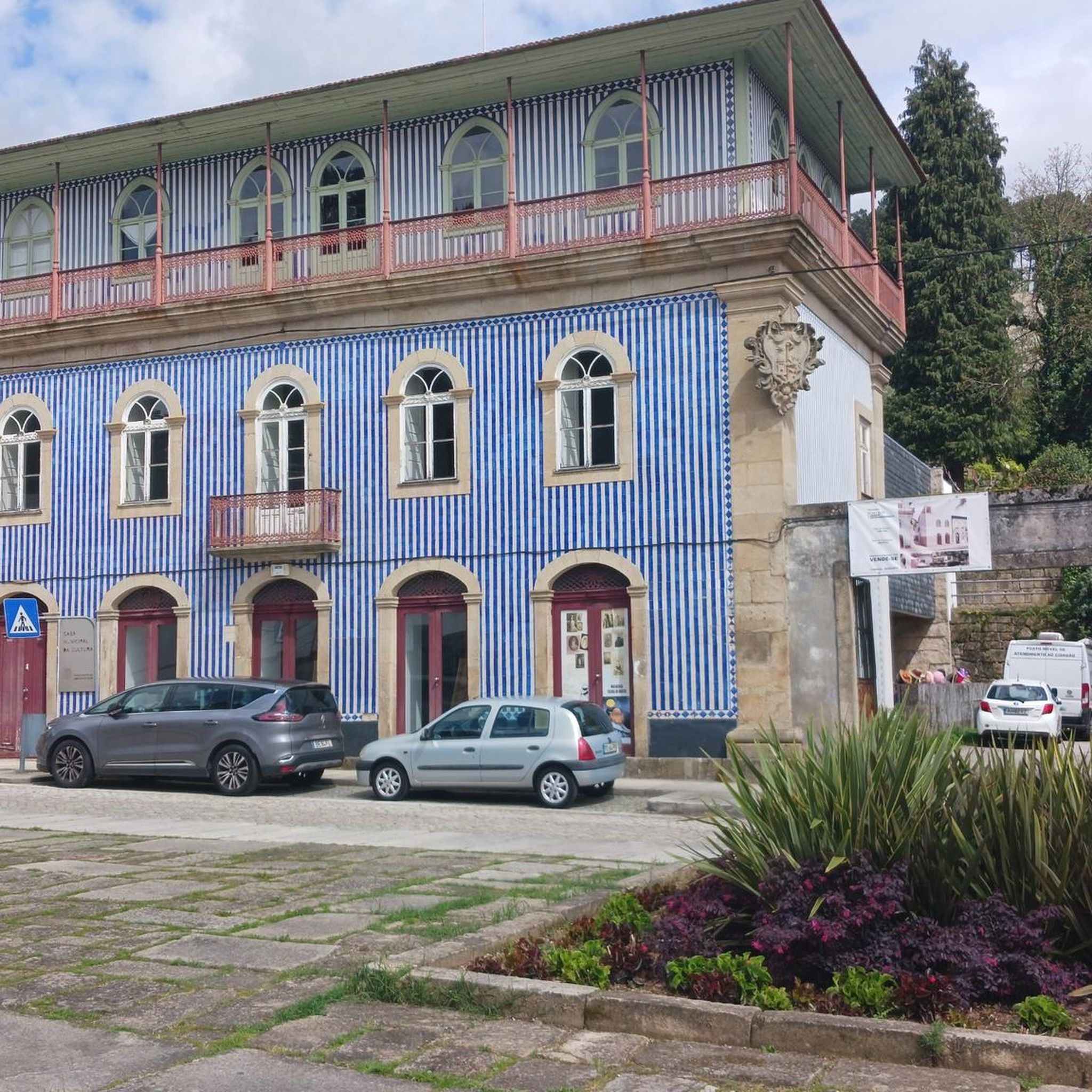
Mondim de Basto, on the banks of the Tâmega, holds memories of many peoples. Although it was only founded in the 12th century, during the reign of D. Sancho I, its roots are much older.
1
0


30 meter high dam, built in 2021 on the Torno River.
0
0
View over Ribeira de Pena and the Tâmega river valley.
0
0
Built in 2022, the Daivões Dam, 77 meters high, produces 159GWh of energy annually.
0
0
13th century bridge over the Tâmega river, which is located near the mouth of the Cavez river and the Old Bridge over that river.
0
0
A beautiful stretch of road, with a slight gradient, so you can run without braking too much and enjoy the views of the Tâmega valley.
0
0
Frequently Asked Questions
How many road cycling routes are available in Refojos de Basto?
There are over 20 road cycling routes around Refojos de Basto, offering a variety of options for different skill levels. The komoot community has explored more than 20 routes in the area.
What is the typical terrain like for road cycling in Refojos de Basto?
The terrain around Refojos de Basto is characterized by luxuriant green hills and mountains, providing varied gradients with both climbs and descents. You can expect panoramic mountain views and diverse countryside vistas throughout your rides.
Are there challenging road cycling routes in the area?
Yes, Refojos de Basto offers several challenging road cycling routes. For instance, the Descent Along the Tâmega River – Ponte de Cavez loop from Cabeceiras de Basto is a difficult 99.7 km route with significant elevation gain, often taking over 5 hours to complete. Another demanding option is the Venda Nova Dam – View of the National Park loop from Basto, which covers 97.7 km with substantial climbing.
Are there any easier road cycling options for less experienced riders?
While many routes in Refojos de Basto are moderate to difficult, there are options that offer a more balanced mix of climbs and descents. The Mondim de Basto Station loop from Basto is a moderate 39.1 km path, ideal for those looking for a less strenuous ride through the local countryside.
What kind of natural features can I expect to see along the routes?
Road cycling routes in Refojos de Basto often feature clear streams and proximity to rivers like the Tâmega River, enhancing the scenic environment. You'll also encounter luxuriant green hills, mountains, and expansive countryside views, providing a refreshing escape into nature.
Are there specific viewpoints worth visiting on a road cycling tour?
Yes, the wider Cabeceiras de Basto region, which includes Refojos de Basto, offers several viewpoints. While specific viewpoints directly on the listed routes aren't detailed, the area is known for spots like the Cerdeirinhas Viewpoint and Meijoadela Viewpoint, which offer panoramic mountain and green field vistas. The Porto d'Olho Viewpoint is also a notable highlight in the vicinity.
What are some notable landmarks or attractions near the road cycling routes?
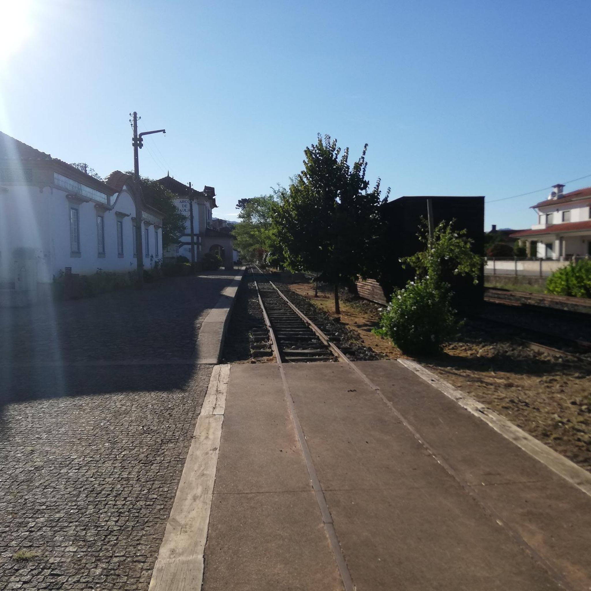
Along or near the road cycling routes, you can explore several interesting landmarks. These include the historic Arco de Baúlhe Railway Station and sections of the Tâmega Line Ecotrail, which offers a repurposed railway line for cycling. The Municipal Square of Mondim de Basto is also a point of interest in the nearby town.
When is the best time of year for road cycling in Refojos de Basto?
The region's climate generally supports cycling for much of the year. The REGION RESEARCH suggests that the Tâmega River area offers stunning views particularly in autumn, implying pleasant conditions during that season. Spring and early summer would also likely provide comfortable temperatures and lush scenery.
Are there circular road cycling routes available?
Yes, many of the road cycling routes in Refojos de Basto are designed as loops. Examples include the Descent Along the Tâmega River – Ponte de Cavez loop from Cabeceiras de Basto and the Porte de Brest Statue (1912) – Ponte de Cavez loop from Cabeceiras de Basto, allowing you to start and end your ride in the same location.
What do other cyclists say about road cycling in Refojos de Basto?
The road cycling routes in Refojos de Basto are highly rated by the komoot community, with an average score of 4.0 stars from several reviews. Over 600 road cyclists have used komoot to explore the varied terrain, often praising the challenging climbs, scenic descents, and the beautiful natural environment.
What is the average distance and elevation gain for road cycling routes here?
The road cycling routes in Refojos de Basto vary significantly in distance and elevation. Moderate routes like the Mondim de Basto Station loop from Basto are around 39 km with about 490 meters of elevation gain. More difficult routes, such as the Descent Along the Tâmega River – Ponte de Cavez loop from Arco de Baúlhe, can be over 130 km with more than 2200 meters of climbing.
Are the road cycling routes in Refojos de Basto suitable for families?
While many routes in Refojos de Basto feature significant elevation changes and are rated moderate to difficult, some sections or shorter loops might be suitable for families with older, more experienced children. However, the region is generally known for its challenging, hilly terrain, so families should carefully review route profiles before setting out.
Where can cyclists find parking in Refojos de Basto?
Specific parking locations for cyclists are not detailed in the provided data. However, as Refojos de Basto is a municipality, parking facilities are generally available in the main towns and villages. It's advisable to check local maps or inquire locally for the most convenient parking spots near your chosen route's starting point.
Most popular routes around Refojos De Basto
Most popular attractions around Refojos De Basto

Get inspired with the komoot mobile app


Explore more
Browse the best Road cycling routes in other regions.
