The 6 Most Amazing Peaks around Wohratal
Best mountain peaks around Wohratal are found within its surrounding low mountain ranges and notable elevated points. While Wohratal itself features hills rather than towering peaks, its location provides access to scenic viewpoints and hiking opportunities in the wider Marburg-Biedenkopf district. The area offers diverse landscapes, from dense forests to ancient volcanic formations, making it appealing for those seeking elevated views and natural exploration. These features collectively provide varied terrain for outdoor activities.
Best mountain peaks around Wohratal
- The most…
Last updated: July 1, 2026
Hunburg Tower
Highlight • Viewpoint
Translated by Google •
Tip by

Knebelsrod Observation Tower
Highlight • Viewpoint
Translated by Google •
Tip by

Sign up now to discover places like this
Get recommendations on the best single tracks, peaks, & plenty of other exciting outdoor places.
Sign up for free
Hohes Lohr Summit and Communication Tower
Highlight • Summit
Translated by Google •
Tip by

Baptismal Stone Monument (Cölber Steinkump)
Highlight • Monument
The "baptismal font" probably got its name from a misunderstanding about its shape.
Translated by Google •
Tip by
Eibenhardt Summit and Remains of the Ring Wall
Highlight • Summit
Translated by Google •
Tip by
Sign up for free to discover even more peaks around Wohratal.
Sign up for free
Already have an account?
Start today with a free account
Your next adventure awaits.
Login or Signup
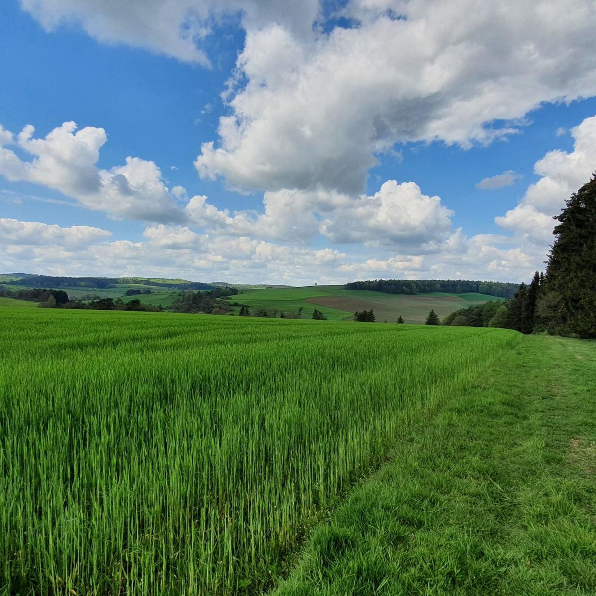
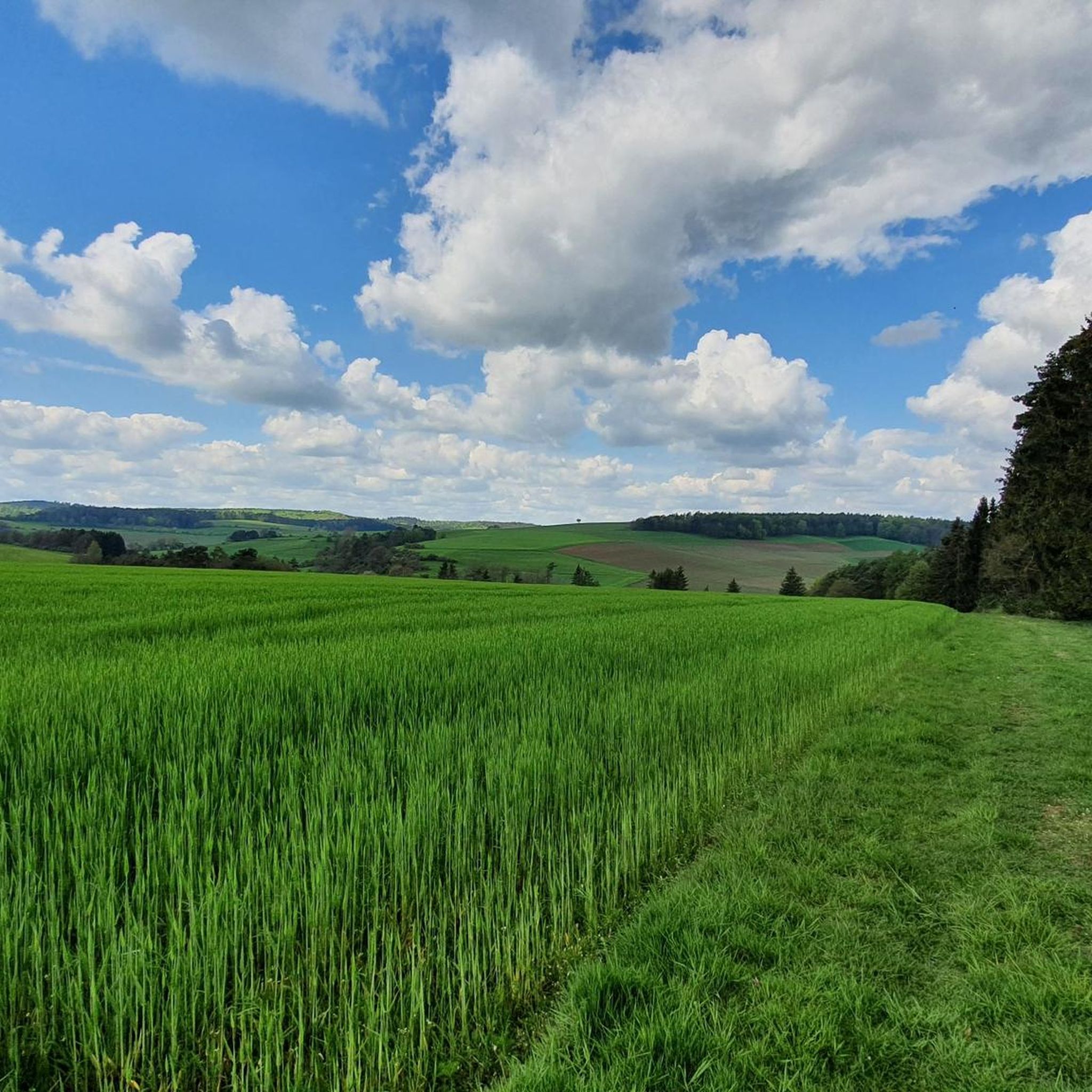
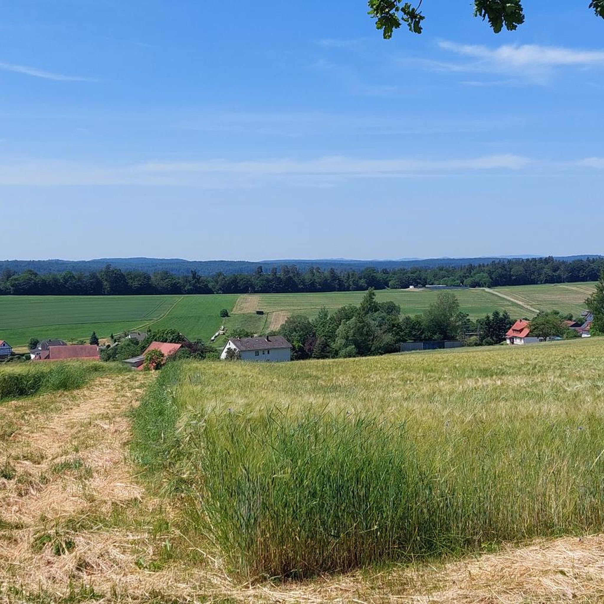
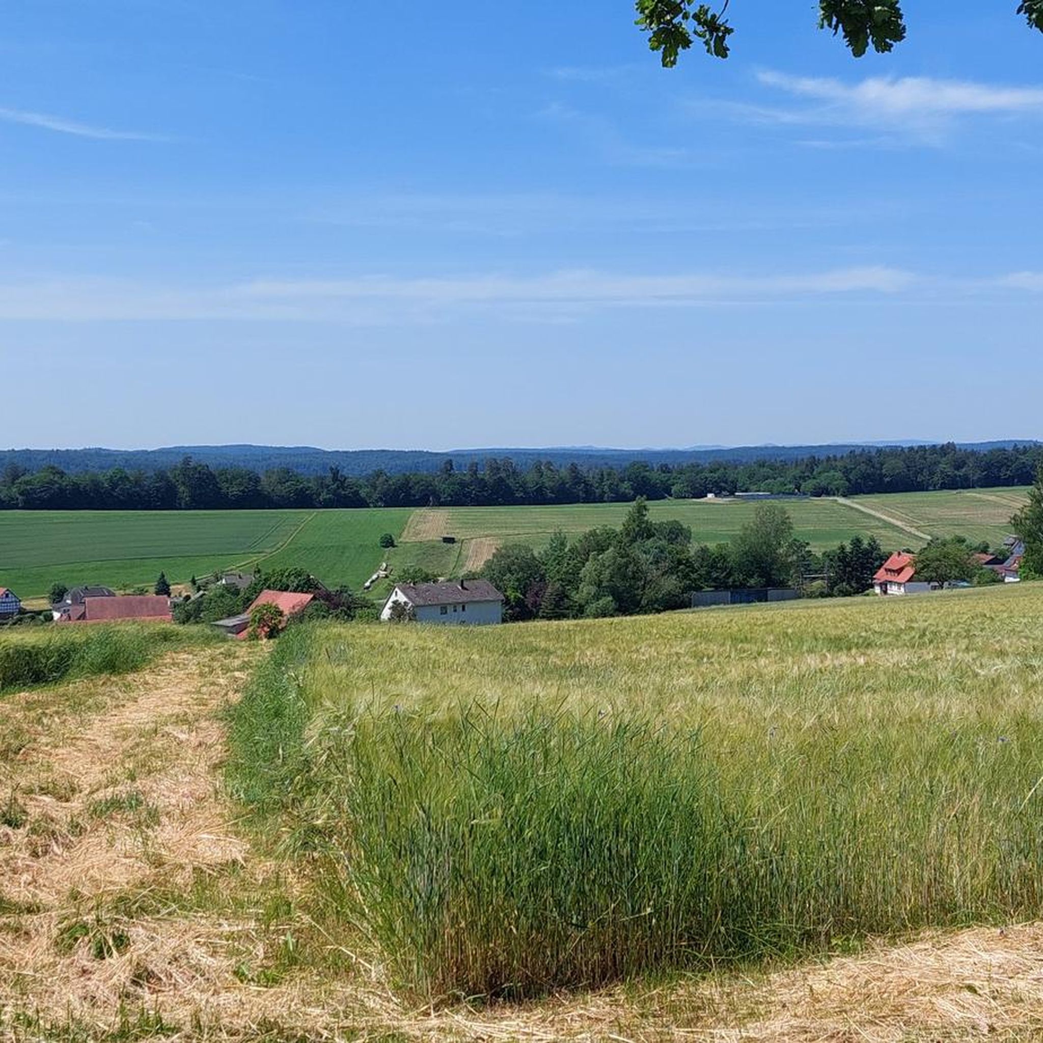
Tips from the Community

It is likely that no child or adult was ever baptized in the mighty stone bowl that lay in the Ohm near Bürgeln for centuries... The "baptismal font" probably got its name from a misunderstanding about its shape. The stone bowl, which is also known as the Cölber "Steinkump", weighs around 1200 kilograms. Since 1988, the mighty stone has been lying on the left bank in a complex that was created in honor of the regional historian Willi Görich. For a long time, it was forgotten and overgrown, the stone covered in moss, before the cultural monument was uncovered and cleaned four years ago. Since then, the "baptismal font" has also been listed on hiking maps and is freely accessible to everyone. Source and the complete text: https://www.coelbe.de/rathaus-politik/geschichte/taufstein/
6
0

Nice and quiet place to rest.. Access to the water is possible 😉
0
0
Nice, quiet place to rest. Access to the water is possible
0
0

Super nice view from up there
0
0

302m above sea level, the Eibenhardt with remains of the old ring wall. Even if everything is a bit overgrown at the moment, the path is still easy to see and is definitely a lot of fun to walk on - pure nature!
0
0

In particular, the area around the actual Eibenhardt summit is gradually starting to become overgrown with weeds, but it is very nice to hike because there has been little going on in recent years due to the closure due to explosive weapons.
1
0

A climb that is worthwhile 163 steps and 35.77 m high
6
0

As a rule, the ascent takes place without the use of artificial oxygen, and there is a bank for recovery
3
0
Frequently Asked Questions
What are the most popular viewpoints around Wohratal?
The most popular viewpoint is the Hunburg Tower, offering a 360-degree panoramic view of the Kellerwald, Rothaar Mountains, Knüll, and Vogelsberg. Another highly regarded spot is the Knebelsrod Observation Tower, which is the highest point in the castle forest and features a hiking/summit book.
Are there family-friendly mountain trails near Wohratal?
Yes, several elevated points and trails around Wohratal are suitable for families. Both the Hunburg Tower and the Knebelsrod Observation Tower are categorized as family-friendly. Additionally, the Baptismal Stone Monument (Cölber Steinkump) is a family-friendly historical site near the river.
What historical sites can I find on or near the peaks in Wohratal?
You can explore the Eibenhardt Summit and Remains of the Ring Wall, which stands at 302 meters above sea level and holds historical significance. The Daubhaus, rising to 551.8 meters, also features remnants of a Celtic ring wall, adding a historical dimension to its natural appeal.
What kind of views can I expect from the elevated points around Wohratal?
From elevated points like the Hunburg Tower, you can expect breathtaking 360-degree panoramic views. These vistas often include the surrounding low mountain ranges such as the Kellerwald, Rothaar Mountains, Knüll, and Vogelsberg, showcasing diverse landscapes of dense forests and rolling hills.
What are some easy hiking routes to experience the elevated areas near Wohratal?
For easy hikes, consider routes like the 'Vollmersborn Rest Area – View of Langendorf loop from Wachholderweide Langendorf' (4.8 km) or the 'Bench by the Bentreff Stream – Rest Area at the Milchbank loop from Wohratal' (6 km). You can find more easy options and details on the Easy hikes around Wohratal guide.
Can I find challenging hikes around Wohratal's peaks?
While Wohratal is known for its accessible hills, the broader region offers more challenging options. For instance, the 'Rock cellar – Wohra River loop from Halsdorf' is a moderate 16 km hike. You can explore a wider range of hiking routes, including more challenging ones, on the Hiking around Wohratal guide.
What mountain ranges are visible from Wohratal's elevated points?
From prominent viewpoints like the Hunburg Tower, you can see several low mountain ranges. These include the Kellerwald, known for its dense forests, the Rothaar Mountains, the Knüll, and the ancient volcanic Vogelsberg mountain range.
What outdoor activities can I do near these mountain peaks?
Besides hiking, the area around Wohratal offers excellent opportunities for cycling. You can find various cycling routes, from easy to difficult, such as the 'Wohratalbahn Railway Bridge – Wolfstein Memorial in Wohratal loop' (14.3 km easy route). Discover more cycling options on the Cycling around Wohratal guide.
What do visitors enjoy most about the elevated points around Wohratal?
Visitors particularly enjoy the expansive panoramic views, especially from the Hunburg Tower, which offers a 360-degree outlook. The sense of achievement at summits like Knebelsrod Observation Tower, where hikers can sign a summit book, is also highly appreciated. The fun descent from the Hohes Lohr Summit is another highlight.
Are there any unique natural features to look out for?
While not a peak, the Baptismal Stone Monument (Cölber Steinkump) is a unique natural and historical feature. This mighty stone bowl, weighing around 1200 kilograms, was once in the Ohm river and is now a listed cultural monument, offering a quiet place to rest with access to the water.
Is the Hohes Lohr Summit accessible, and what is its main feature?
The Hohes Lohr Summit is known for its imposing radio tower. While the tower itself is not accessible and is fenced off, the mountain in the Kellerwald offers a rewarding climb and a particularly fun descent for hikers.
What is the highest point in the castle forest near Wohratal?
The highest point in the castle forest is the Knebelsrod Observation Tower. It serves as a viewpoint and summit, where visitors can find a hiking/summit book to sign, though the view from the tower itself can be somewhat limited by surrounding trees.
Most popular routes around Wohratal
Most popular attractions around Wohratal

Get inspired with the komoot mobile app


Explore more
See even more amazing summits around Wohratal with these guides:
