The best road cycling routes around Donim
4.5
(21)
1,057
riders
52
rides
Road cycling routes around Donim are characterized by undulating terrain and significant elevation changes, offering challenging rides for experienced cyclists. The region features a mix of rural landscapes, often incorporating water bodies such as dams and waterfalls, alongside historical landmarks like churches. Road cyclists can expect routes that traverse varied topography, from valley floors to higher elevations, providing diverse riding experiences.
Best road cycling routes around Donim
- The most popular road cycling route is View of the Caniçada Dam – Varzeas Waterfall loop from Santo Emilião, a 89.7 miles (144.4 km) trail that takes 8 hours 10 minutes to complete. This difficult route features substantial climbs and offers expansive views of the Caniçada Dam and Varzeas Waterfall.
- Another top favourite among local road cyclists is Parish Church of Garfe – Igreja de Galegos loop from Donim, a difficult 59.2 miles (95.2 km) path. This route connects several historical churches, winding through rural landscapes and offering a mix of cultural and natural scenery.
- Local road cyclists also love the Monsul Church – Church of Saint Peter loop from Santo Emilião, a 57.2 miles (92.1 km) trail leading through historical villages and varied rural settings, often completed in about 4 hours 40 minutes.
- Road cycling around Donim is defined by significant elevation gains, scenic water features, and routes connecting historical churches. The network offers options for different ability levels, from moderate to difficult.
- The routes in Donim are highly rated by the komoot community with an average score of 4.4 stars from over 24 reviews. More than 1,000 road cyclists have used komoot to explore Donim's varied terrain.
Last updated: August 26, 2026
68
riders
144km
08:11
3,120m
3,120m
Hard road ride. Very good fitness required. Mostly well-paved surfaces and easy to ride.
47
riders
95.2km
04:59
1,600m
1,600m
Hard road ride. Very good fitness required. Mostly well-paved surfaces and easy to ride.

Sign up for free
26
riders
93.0km
04:47
1,510m
1,510m
Hard road ride. Very good fitness required. Mostly well-paved surfaces and easy to ride.
18
riders
Moderate road ride. Good fitness required. Mostly well-paved surfaces and easy to ride.
13
riders
53.4km
02:51
870m
870m
Moderate road ride. Good fitness required. Mostly well-paved surfaces and easy to ride.
Get access to more routes and recommendations from other explorers.
Sign up for free
Already have an account?
Our route recommendations are based on thousands of hikes, rides, and runs completed by other people on komoot.
Start today with a free account
Your next adventure awaits.
Login or Signup

Tips from the Community

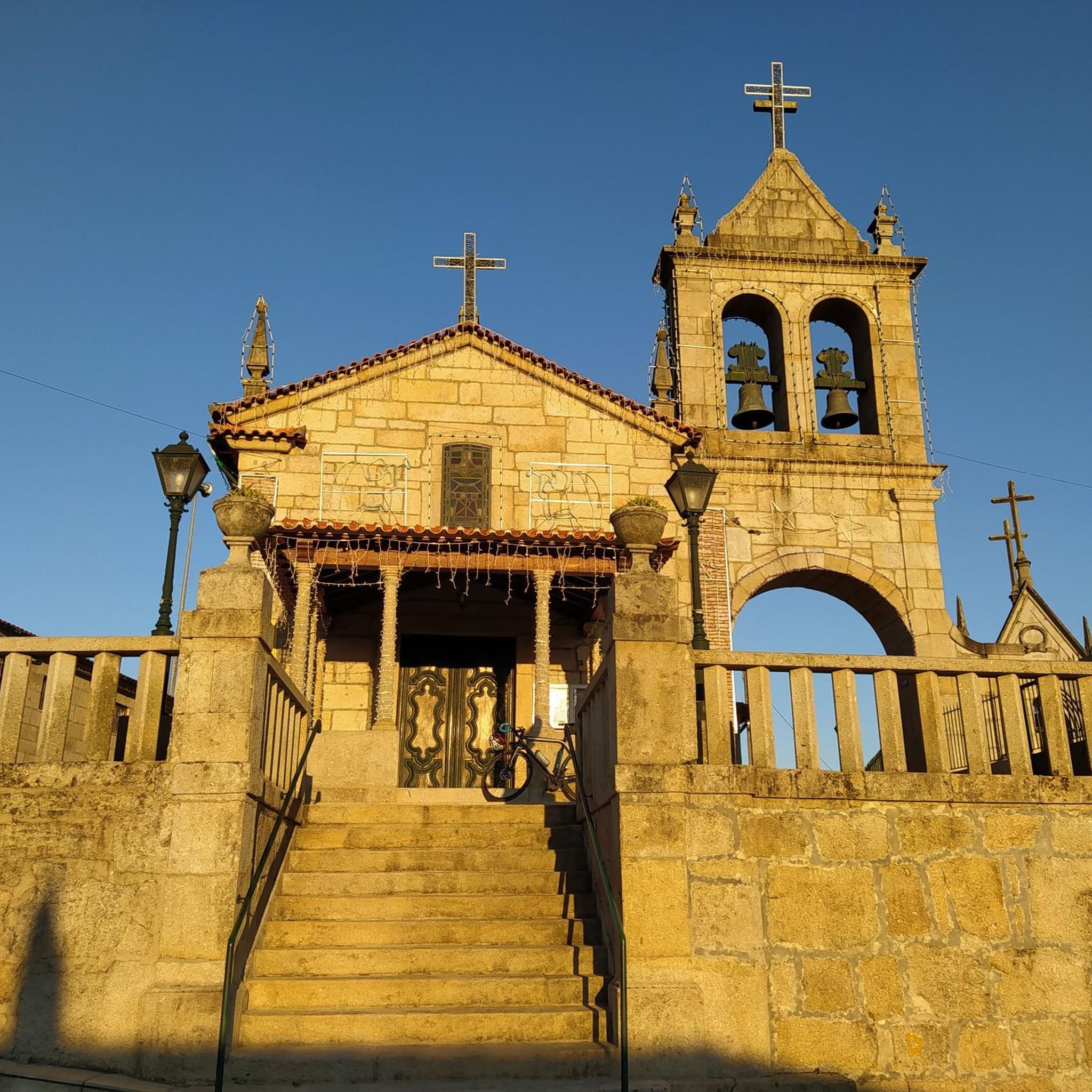
This church was the one mile mark of the old roman road to Astorga (Asturica)
0
0
In clear sunny days one can climb the chuch tower stairs and see the sea that is 25 k to the west. This sanctuary dominates the hole region and was elected by the romans to found a capital of their empire (Bracara Augusta)
0
0

Attention, this is an extremely dangerous place. You can never be too careful.
0
0

Impressive waterfalls with several pools, accessible with a bit of climbing. Some climbing aids have been anchored into the rock. However, since the waterfall is located near a road, you're rarely alone here. And there have been fatalities here, as the climb down to the lagoons is not without its dangers.
1
0
Locals choose this spot to exercise, picnic, relax, and watch the sunset. Especially because the Sameiro Sanctuary offers the best panoramic view of the city of Braga!
1
0
Like the Sanctuary of Bom Jesus do Monte, the stairs of the Sanctuary of Sameiro are a fundamental element of this religious complex. The imposing stairs of the Sanctuary of Sameiro consist of 265 steps and begin at the crypt plaza.
1
0

Lots of monuments nearby to visit
1
1
After the visit, enjoy the fantastic view 👌 On a clear day you can see the sea💙
1
1
Frequently Asked Questions
How many road cycling routes are available around Donim?
There are over 50 road cycling routes around Donim, offering a diverse range of experiences for cyclists. The komoot community has explored these routes over 1,000 times.
What kind of terrain can I expect on road cycling routes in Donim?
Road cycling routes around Donim are characterized by undulating terrain and significant elevation changes. You'll find a mix of rural landscapes, often incorporating water bodies like dams and waterfalls, alongside historical landmarks such as churches. The topography varies from valley floors to higher elevations.
Are there road cycling routes suitable for beginners in Donim?
While many routes in Donim feature significant climbs and are rated moderate to difficult, there are a few options for less experienced cyclists. You can find 4 easy routes and 32 moderate routes, which might be more suitable for beginners or those looking for a less strenuous ride.
What are some notable natural features or viewpoints along the road cycling routes?
The region features scenic water bodies like the Caniçada Dam and Varzeas Waterfall, which can be seen on routes such as the View of the Caniçada Dam – Varzeas Waterfall loop from Santo Emilião. Additionally, you can find natural monuments like the Ernesto Korrodi's Artificial Grotto of Bom Jesus and Moss-covered boulders in Parque da Penha nearby, offering interesting sights off the bike.
What historical landmarks can I explore while road cycling in Donim?
Many routes connect historical churches and villages. For instance, the Parish Church of Garfe – Igreja de Galegos loop from Donim links several historical churches. Nearby, you can also explore significant historical sites like the Palace of the Dukes of Braganza and the Guimarães City Walls.
What is the typical length and elevation gain for road cycling routes in Donim?
Routes vary significantly in length and elevation. For example, the View of the Caniçada Dam – Varzeas Waterfall loop from Santo Emilião is nearly 90 miles (144 km) with over 3,100 meters of elevation gain, making it a challenging ride. Moderate routes like the Igreja de Galegos loop from Citânia de Briteiros are around 45 km with about 770 meters of ascent.
Are there any loop routes for road cycling in Donim?
Yes, many of the road cycling routes in Donim are designed as loops, allowing you to start and finish at the same point. Examples include the Monsul Church – Church of Saint Peter loop from Santo Emilião and the Igreja de Galegos – Ermal Dam loop from Santo Emilião.
What do other road cyclists enjoy most about road cycling in Donim?
The komoot community highly rates the road cycling experience in Donim, with an average score of 4.4 stars from over 24 reviews. Cyclists often praise the challenging nature of the routes, the significant elevation gains, and the scenic water features and historical churches encountered along the way.
Are there any routes that feature both natural beauty and historical sites?
Absolutely. Many routes in Donim combine both. For instance, the Parish Church of Garfe – Igreja de Galegos loop from Donim winds through rural landscapes, connecting several historical churches, while also offering views of the natural surroundings.
What is the overall difficulty level for road cycling in Donim?
Road cycling around Donim is generally considered to be challenging due to significant elevation gains and undulating terrain. There are 18 difficult routes and 32 moderate routes, indicating that the area is well-suited for experienced cyclists looking for a demanding ride.
Most popular routes around Donim
Most popular attractions around Donim

Get inspired with the komoot mobile app


Explore more
Browse the best Road cycling routes in other regions.
