The best cycling routes around Gandarela
4.3
(74)
854
riders
61
rides
Touring cycling routes around Gandarela are characterized by rugged mountains, rolling hills, and deep valleys, forming part of the ancient Serra do Espinhaço mountain range. Elevations range from 800 meters to over 1,700 meters, providing significant elevation changes. The region features diverse ecosystems, transitioning from lush Atlantic Forest at lower elevations to rocky grasslands in higher areas. Crystal-clear rivers and numerous waterfalls are common, originating from a critical hydrological area.
Best touring cycling routes around Gandarela
- The most popular touring…
Last updated: May 20, 2026
5.0
(5)
56
riders
27.1km
01:51
320m
320m
Moderate bike ride. Good fitness required. Mostly paved surfaces. Suitable for all skill levels.
5.0
(3)
36
riders
40.6km
02:36
470m
470m
Hard bike ride. Very good fitness required. Mostly paved surfaces. Suitable for all skill levels.

Sign up for free
5.0
(1)
23
riders
48.1km
03:52
910m
910m
Hard bike ride. Very good fitness required. You may need to push your bike for some segments of this route.
15
riders
67.0km
04:45
1,050m
1,050m
Hard bike ride. Very good fitness required. You may need to push your bike for some segments of this route.
14
riders
62.3km
04:06
870m
870m
Hard bike ride. Very good fitness required. Mostly paved surfaces. Suitable for all skill levels.
Get access to more routes and recommendations from other explorers.
Sign up for free
Already have an account?
Our route recommendations are based on thousands of hikes, rides, and runs completed by other people on komoot.
Start today with a free account
Your next adventure awaits.
Login or Signup



Tips from the Community

Nearby Tourist Attractions Ave Riverbank Promenade: A riverside walkway, ideal for relaxing strolls. Monte Padrão Hillfort: Ancient ruins for those interested in history and archaeology.
1
0
Highlights and Architecture Main Church: Built between 1659 and 1679, the monastery church is an imposing example of local religious architecture. Cloisters: The monastery has serene cloisters, one of which still displays a Gothic sculpture of the Virgin and Child in one of the corners. Cloister Fountain: In the center of the cloister stands a slender granite fountain with a polylobed basin, dating from 1649. Style: Over the centuries, the monastery has been rebuilt, combining Baroque and Neoclassical elements.
1
0
Opening Hours and Visits The monastery is open for visits, but guided tours of the cloisters and other areas (besides the church) generally require prior booking by telephone with the Santo Tirso City Hall office. General Hours (Church): Daily (Monday to Sunday): 08:00–12:00 and 15:00–19:00. Accessibility: The entrance and parking are wheelchair accessible.
1
0
The Monastery of São Bento, also known as the Monastery of Santo Tirso, is located on the left bank of the Ave River, in the city of Santo Tirso, Portugal. Founded in 978, it belonged to the Benedictine Order and was one of the most powerful monasteries in Portugal. Currently, it is classified as a National Monument.
1
0

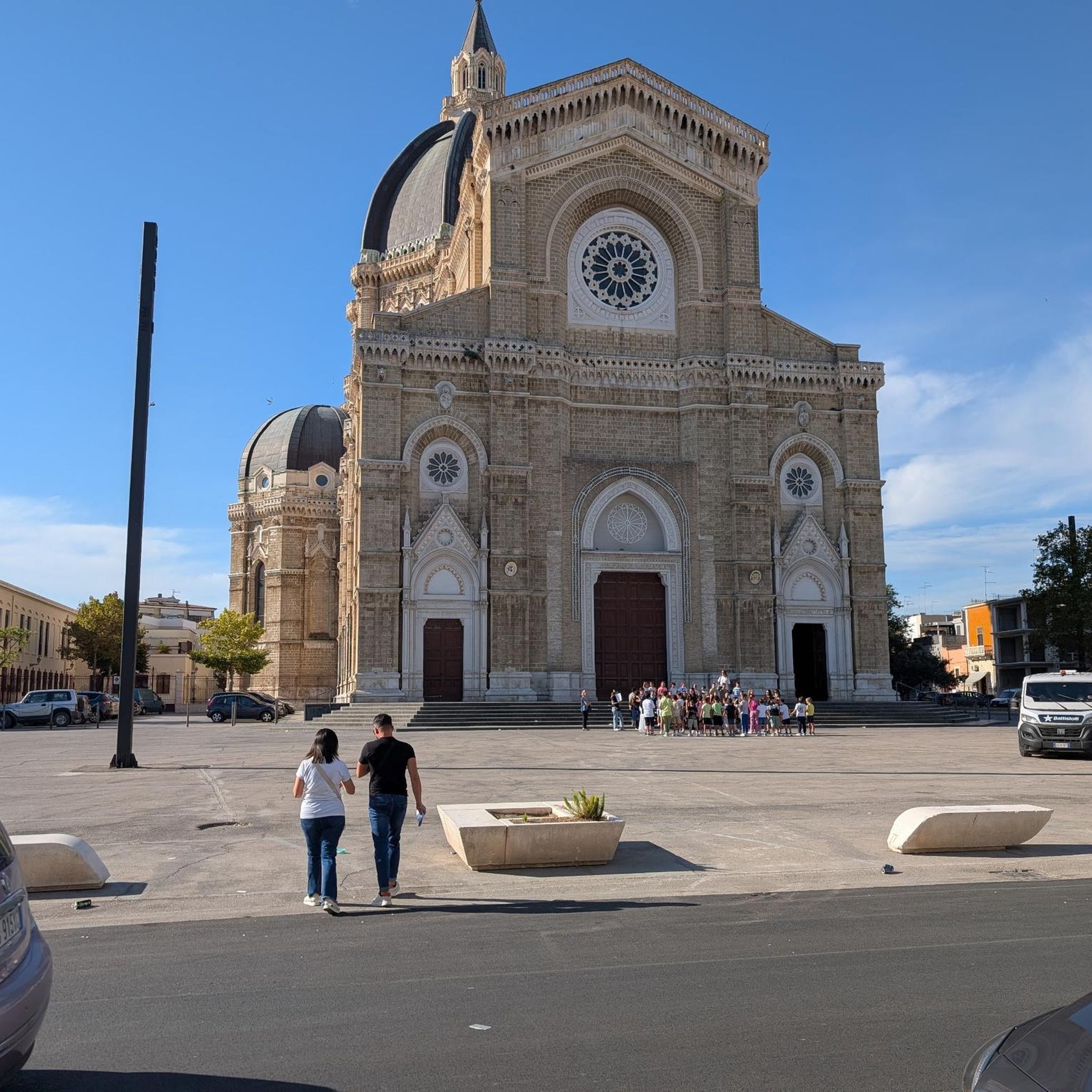
Beautiful view of the church.
1
1

After hiking, be sure to stretch your feet into the warm threads!
0
0

While you breathe in the medieval atmosphere of Largo de São Tiago, the architecture of Largo do Toural immediately reflects the desire for spacious, open construction that was so typical of the 18th-century Enlightenment. The square illustrates the various phases of urban history that have remained vibrant in Guimarães. https://www.visitportugal.com/de/NR/exeres/42CD43EA-B377-427B-84D1-6A1F2324C86A
0
0

A wonderful view over the fountain and the flowerbeds
1
1
Frequently Asked Questions
How many touring cycling routes are available in Gandarela?
There are over 60 touring cycling routes available in Gandarela, offering a wide range of experiences for different skill levels. The komoot community has explored these routes nearly 950 times, providing valuable insights and ratings.
What is the general difficulty level of touring cycling routes in Gandarela?
Gandarela's touring cycling routes are predominantly challenging, with 58 out of 68 routes classified as difficult. There are also 9 moderate routes and 1 easy route, ensuring options for various experience levels. The region is known for its rugged mountains and significant elevation changes, making it ideal for those seeking a physical challenge.
What kind of terrain can I expect when touring cycling in Gandarela?
You can expect rugged mountain terrain with significant elevation changes, as Gandarela is part of the ancient Serra do Espinhaço range. Routes traverse lush Atlantic Forest and Cerrado biomes, featuring crystal-clear rivers, and distinctive red-earth landscapes formed by Precambrian rock formations. Be prepared for demanding ascents and rewarding descents.
What do other touring cyclists say about the routes in Gandarela?
The touring cycling routes in Gandarela are highly rated by the komoot community, with an average score of 4.2 stars from over 70 reviews. Cyclists often praise the challenging terrain, the stunning natural beauty, and the diverse ecosystems encountered along the way.
When is the best time of year to go touring cycling in Gandarela?
Given the region's climate, the dry season (typically May to September) is generally the most favorable for touring cycling in Gandarela. During this period, you can expect more stable weather conditions and less mud on the trails, making for a more enjoyable and safer ride through the rugged terrain.
Are there any circular touring cycling routes in Gandarela?
Yes, many routes in Gandarela are designed as loops, allowing you to start and finish at the same point. For example, the challenging Wall 10% – Penha Sanctuary loop from Nespereira is a popular circular option, as is the moderate Convento de São Domingos loop from Selho (São Jorge).
Are there any family-friendly touring cycling routes in Gandarela?
While many routes in Gandarela are challenging, there is at least one easy route available, and some moderate options like the Convento de São Domingos loop from Selho (São Jorge) might be suitable for families with older children or those accustomed to moderate distances and elevations. Always check the route details for specific difficulty and terrain before heading out with family.
What are some challenging touring cycling routes for experienced riders?
Experienced riders seeking a challenge will find plenty of options. The Wall 10% – Penha Sanctuary loop from Nespereira is a difficult 38.2 km route with significant elevation gain. Another demanding option is the Aaa – Convento de São Domingos loop from Nespereira, which covers 46.6 km with nearly 950 meters of ascent.
What interesting landmarks or attractions can I see along touring cycling routes in Gandarela?
Gandarela offers a blend of natural beauty and historical sites. You can explore the ancient Serra do Espinhaço range, discover crystal-clear rivers and waterfalls like Sanctuary Falls, and encounter unique geological formations. Nearby, you can visit historical sites such as the Palace of the Dukes of Braganza, Guimarães Castle Park, or the Vizela Castle. The historical Estrada Real also traverses the northern part of the park, offering glimpses of colonial ruins.
Are there any viewpoints along the touring cycling routes in Gandarela?
Yes, the rugged topography of Gandarela provides numerous opportunities for panoramic views. Peaks and lookouts, such as the Mirante da Serra do Gandarela in Rio Acima, offer breathtaking vistas across the Iron Quadrangle and beyond, providing excellent rest stops and photo opportunities for cyclists.
Is public transport available to access touring cycling routes in Gandarela?
While specific public transport options directly to trailheads within the national park might be limited, the park is approximately 40 kilometers from Belo Horizonte. You would likely need to arrange transport to the general area, and then potentially cycle or use local services to reach specific starting points for routes. It's advisable to research local transport options from nearby towns like Raposos or Honório Bicalho.
Are permits required for touring cycling in Serra do Gandarela National Park?
Serra do Gandarela is a protected national park. While general access for activities like hiking and cycling is often permitted, it's always best to check the official regulations of the park authority regarding specific permits or entry fees for certain areas or activities, especially for organized tours or larger groups. Information can usually be found on the park's official website.
Most popular routes around Gandarela
Most popular attractions around Gandarela

Get inspired with the komoot mobile app


Explore more
Browse the best Cycling routes in other regions.
