The best road cycling routes around Brunhais
4.5
(19)
507
riders
31
rides
Road cycling around Brunhais, located in northern Portugal, offers routes through a mountainous and verdant landscape. The region is characterized by rocky terrain, green fields, and proximity to the Peneda-Gerês National Park. Cyclists can expect challenging rides on mostly paved surfaces, often featuring steep roads with significant elevation gains.
Best road cycling routes around Brunhais
- The most popular road cycling route is Praia da Rola loop from Rossas 1, a 31.6 miles (50.9 km) trail that takes 2 hours…
Last updated: July 4, 2026
5.0
(1)
17
riders
50.9km
02:41
950m
960m
Hard road ride. Very good fitness required. Mostly well-paved surfaces and easy to ride.
10
riders
114km
05:56
1,900m
1,900m
Hard road ride. Very good fitness required. Mostly well-paved surfaces and easy to ride.

Sign up for free
11
riders
96.1km
04:39
1,420m
1,420m
Hard road ride. Very good fitness required. Mostly well-paved surfaces and easy to ride.
8
riders
62.8km
04:00
1,830m
1,830m
Hard road ride. Very good fitness required. Mostly well-paved surfaces and easy to ride.
9
riders
61.0km
03:25
1,260m
1,260m
Hard road ride. Very good fitness required. Mostly well-paved surfaces and easy to ride.
Get access to more routes and recommendations from other explorers.
Sign up for free
Already have an account?
Our route recommendations are based on thousands of hikes, rides, and runs completed by other people on komoot.
Start today with a free account
Your next adventure awaits.
Login or Signup
Popular around Brunhais
Tips from the Community

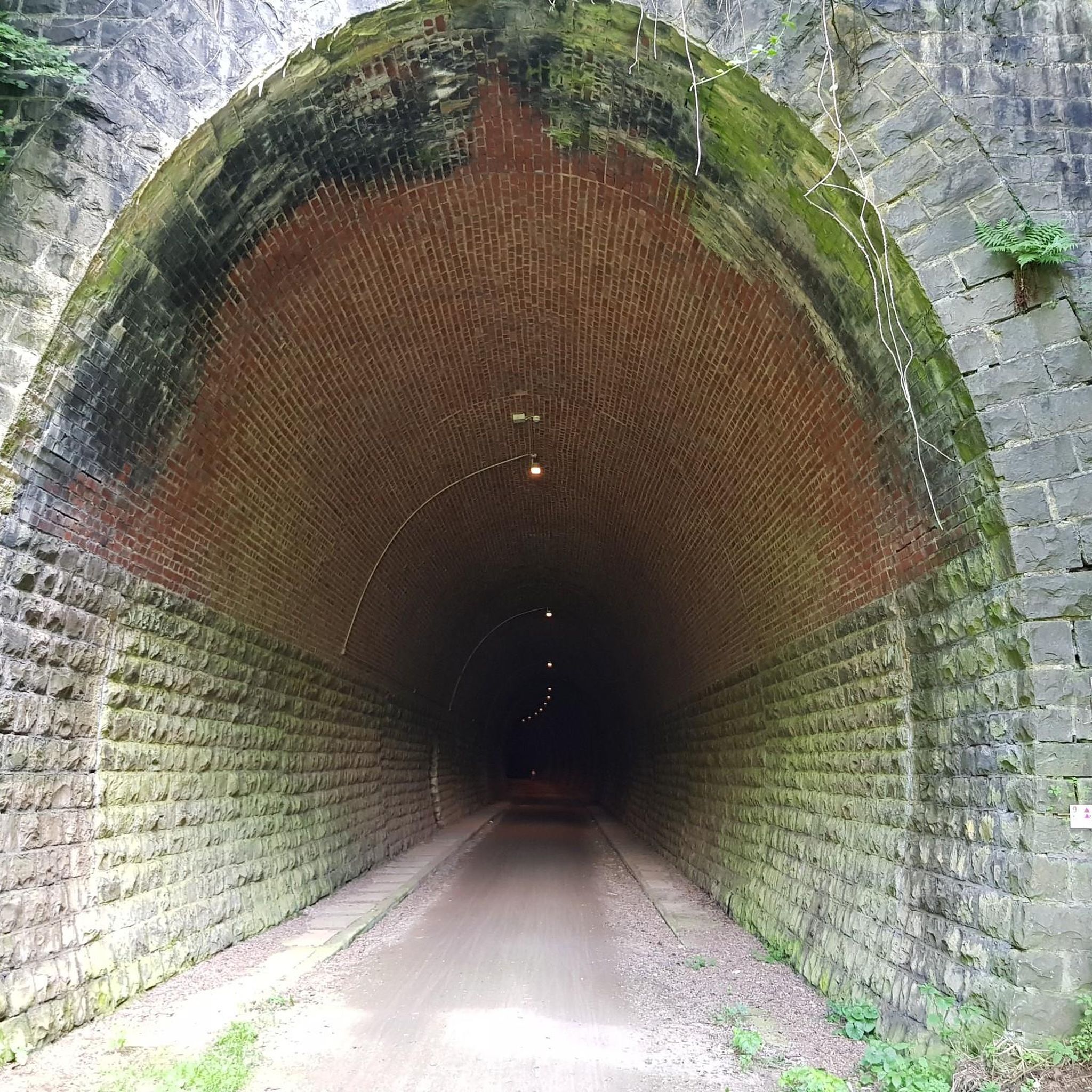
Nice bike path, nice asphalt. Fairly wide, but only in a few spots is the vegetation recovering. Recommended 👍
1
0

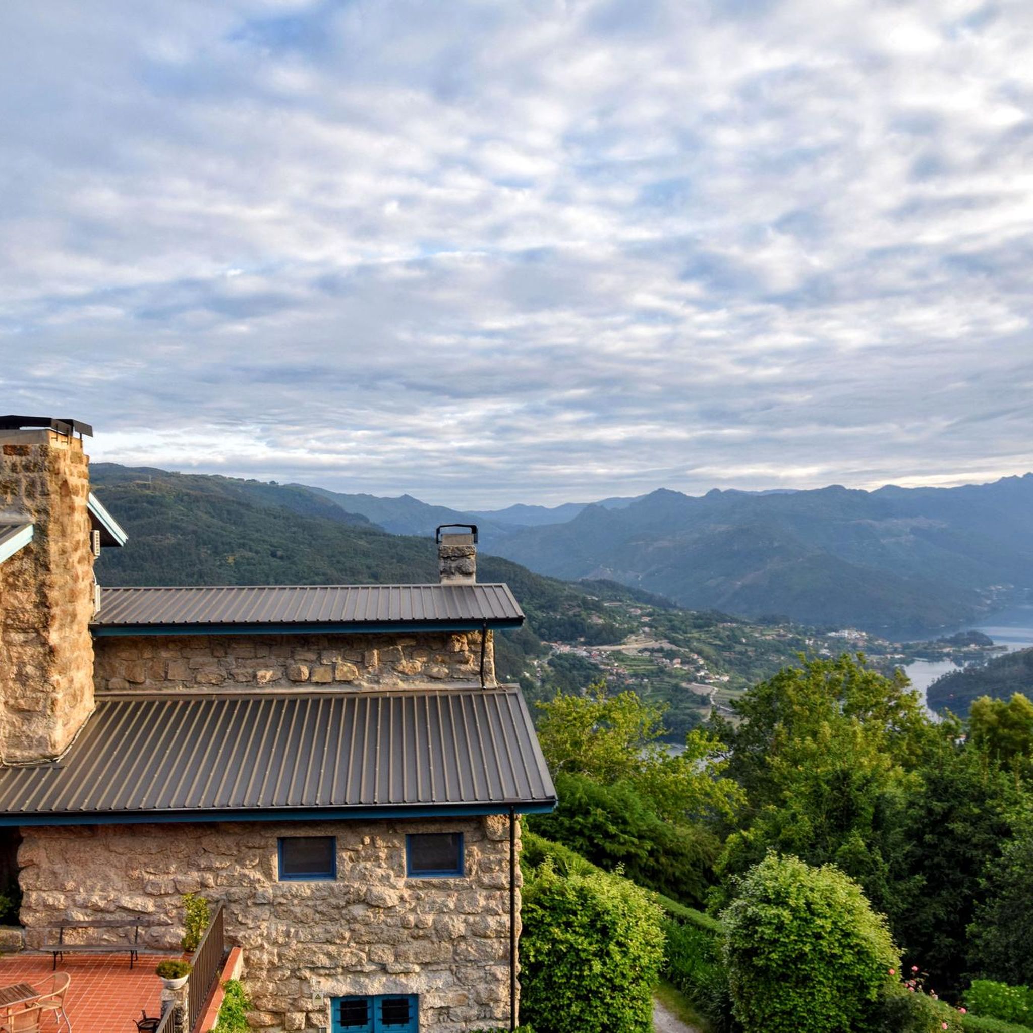
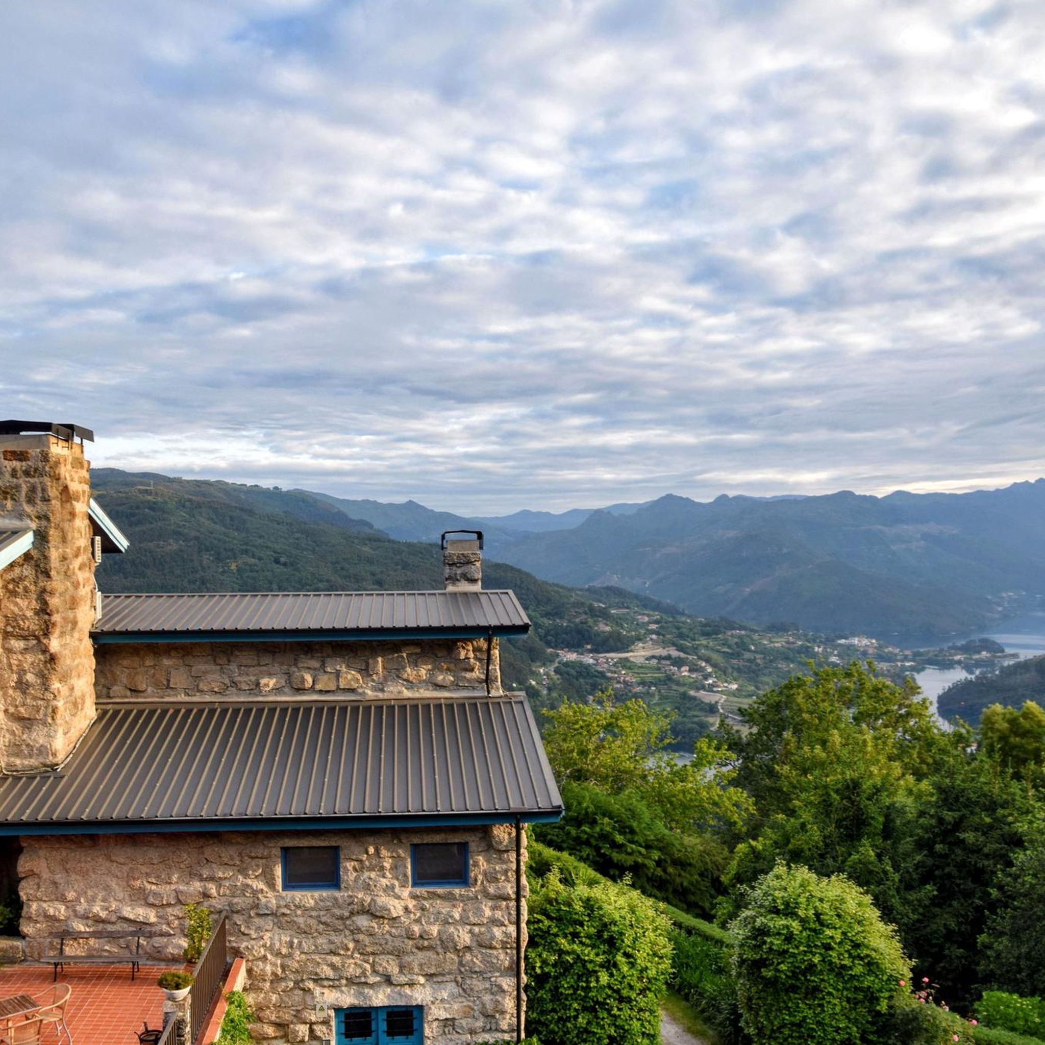
This area is characterized by an unspoiled mountain landscape, typical of the Serra do Gerês and Serra da Cabreira, integral parts of the Peneda-Gerês National Park. The region is known for its wild nature, glacial valleys, mountain pastures and rock formations, elements that contribute to its biodiversity and landscape value.
0
0

Dam with a fantastic view, and also provides quick access to both banks...
0
0


https://de.m.wikipedia.org/wiki/Basilika_St._Benedikt_der_offenen_T%C3%BCr Portuguese second largest pilgrimage site after Fátima, which is visited by several thousand / million pilgrims every year.
0
0

A vast reservoir of the Rio Homem. You have a great view from the dam wall.
0
0

The Caniçada Dam (Portuguese: Barragem da Caniçada) is located in the Northern region of Portugal in the Braga district near the municipality of Caniçada. It dams up the Cávado River and its tributary Rio Gerês to form a four-armed reservoir (port. Albufeira (da Barragem) da Caniçada). In the middle of the reservoir, near the point where the Rio Gerês originally flowed into the Rio Cávado, the lake is bridged by two bridges. To the north of the reservoir is the Peneda-Gerês National Park and part of the lake area belongs to the national park. The city of Braga is located about 15 km southwest of the Caniçada dam. Upstream, the next hydroelectric power station on the Cávado is the Salamonde dam.
2
0

An impressive build! Built in 1955, it has a height of 76m and a crown length of 246m. The hydroelectric power station located there produces an average of 346 GWh per year.
0
0
Frequently Asked Questions
How many road cycling routes are available around Brunhais?
There are over 30 road cycling routes available around Brunhais, catering to various skill levels. The region offers a diverse network of paths through its mountainous and verdant landscape.
What kind of terrain can I expect on road cycling routes near Brunhais?
Road cycling around Brunhais is characterized by mountainous terrain with significant elevation gains. You can expect steep roads, often on mostly paved surfaces, winding through rocky landscapes, green fields, and traditional villages. The routes offer challenging yet rewarding rides with stunning vistas.
Are there any notable landmarks or attractions to see while road cycling near Brunhais?
Yes, several interesting landmarks and natural features can be found along or near the routes. You might encounter the Caniçada Dam, the Bridge over the Cávado River, or enjoy panoramic views from the São Mamede Viewpoint. The region's proximity to the Peneda-Gerês National Park also means opportunities to see traditional villages and lush natural scenery.
What is the best time of year for road cycling in Brunhais?
The Minho region, where Brunhais is located, generally offers wonderful natural conditions for cycling tourism. While specific seasonal advice isn't provided, the lush, green landscape suggests pleasant conditions outside of the hottest summer months or potentially wet winter periods. Spring and autumn are often ideal for cycling in mountainous regions.
Are there any circular road cycling routes available?
Yes, many routes around Brunhais are designed as loops. For instance, you could try the challenging Monument to Justice of Fafe loop from Rossas, which covers 115 km, or the View of the National Park – Venda Nova Dam loop from Tabuaças, a 96.1 km route offering views towards the National Park.
What is the difficulty level of road cycling routes in Brunhais?
The majority of road cycling routes around Brunhais are considered difficult, with 23 out of 33 routes falling into this category. This is due to the mountainous terrain and significant elevation gains. There are also 8 moderate and 2 easy routes available for those seeking less strenuous options.
Can I find routes that offer views of the Peneda-Gerês National Park?
Absolutely. Brunhais is close to the Peneda-Gerês National Park, and several routes offer views into or through its stunning landscapes. The View of the National Park – Venda Nova Dam loop from Tabuaças is a prime example, leading through mountainous terrain with direct views towards the park.
What do other road cyclists say about cycling in Brunhais?
The road cycling routes in Brunhais are highly rated by the komoot community, with an average score of 4.6 stars from over 20 reviews. Cyclists often praise the challenging nature of the rides, the stunning natural scenery, and the quiet roads with minimal traffic, allowing for an immersive experience.
Are there any routes that pass by dams or reservoirs?
Yes, the region features several routes that include dams and reservoirs. For example, the Caniçada Dam – Caniçada Reservoir loop from Tabuaças is a challenging 62.8 km route that takes you past these impressive water features.
Are the roads generally quiet for cycling in this region?
Yes, the broader region, including areas within and around Peneda-Gerês National Park, is noted for having peaceful roads with very little traffic. This allows cyclists to enjoy the natural surroundings and cultural immersion with minimal disturbance, making for a more serene riding experience.
What is the longest road cycling route available from Brunhais?
One of the longer and more challenging routes is the Monument to Justice of Fafe loop from Rossas, which spans 115.0 km and features substantial climbs, typically taking around 6 hours to complete.
What is the elevation gain like on these routes?
Given the mountainous nature of the region, elevation gains can be significant. For instance, the Praia da Rola loop from Rossas 1, a 50.9 km route, involves an elevation gain of over 950 meters, while longer routes can exceed 1900 meters of ascent.
Most popular routes around Brunhais
Most popular attractions around Brunhais

Get inspired with the komoot mobile app


Explore more
Browse the best Road cycling routes in other regions.
