Attractions and Places To See around Balança - Top 20
Attractions and places to see around Balança, a civil parish in Terras de Bouro, Portugal, are primarily centered on its local heritage and the natural landscapes of the Norte Region. This small locality is known for its cultural sites, such as the Igreja Paroquial de São João da Balança, and serves as a gateway to the broader natural beauty of the municipality. The surrounding area offers diverse natural monuments and man-made structures, providing opportunities for exploration within the Peneda-Gerês National…
Last updated: July 1, 2026
Fenda da Calcedónia
Highlight • Gorge
Translated by Google •
Tip by

Caniçada Dam
Highlight • Monument
Translated by Google •
Tip by

Sign up now to discover places like this
Get recommendations on the best single tracks, peaks, & plenty of other exciting outdoor places.
Sign up for free
Granite Rock Formations of Peneda-Gerês National Park
Highlight • Natural Monument
Translated by Google •
Tip by

Ascent to the Rock Crevice (Reserva da Biosfera Transfronteira Gerês-Xurés)
Highlight (Segment) • Climb
We walk it anti-clockwise, which turns out to be a good decision.
The ascent is much steeper this way, …
Translated by Google •
Tip by

São Bento Swing Viewpoint
Highlight • Viewpoint
Tip by

Sign up for free to discover even more attractions around Balança.
Sign up for free
Already have an account?
Start today with a free account
Your next adventure awaits.
Login or Signup


Tips from the Community

The Chalcedony Trail (PR1 TBR – Trilho da Cidade da Calcedonia) is one of the most iconic routes in Peneda-Gerês National Park, located in Covide (Braga), within the municipality of Terras de Bouro. It leads to the ruins of the City of Chalcedony, an ancient pre-Roman hill fort high in the mountains. It offers panoramic views over the Homem River valley and the Gerês mountains. The trail passes through native forests, rocky areas, and natural viewpoints.
2
0

A beautiful hiking area with breathtaking rock formations.
0
0

The Calcedonia Crack is one of those passages that seems to have come straight out of an old fairy tale: a monumental crack between two granite giants. For those who like a challenge, the route involves climbing and jumping between huge blocks fitted together at the base. Going up is easier than going down: there is more support, more traction, and less hesitation. There is no need to cross it (the trail elegantly skirts the crack) but, for the more adventurous, facing this crack is almost a ritual: a mix of adrenaline, vertigo and raw landscape that leaves its mark on those who pass by.
1
1
As the climb progresses, the granite boulders become increasingly imposing, sculpting the landscape with impressive shapes and dimensions. To the south, Curvaceira rises, the highest point in the area, at 919 metres above sea level. To the north, a wide view opens up over the Covide valley. Here, Barrosã cows roam freely across the hills, while the mountain landscape reveals itself in all its grandeur above 800 metres. But this is also the most challenging part of the climb: narrow trails, a steep incline and some rocks that require a bit of climbing.
2
0

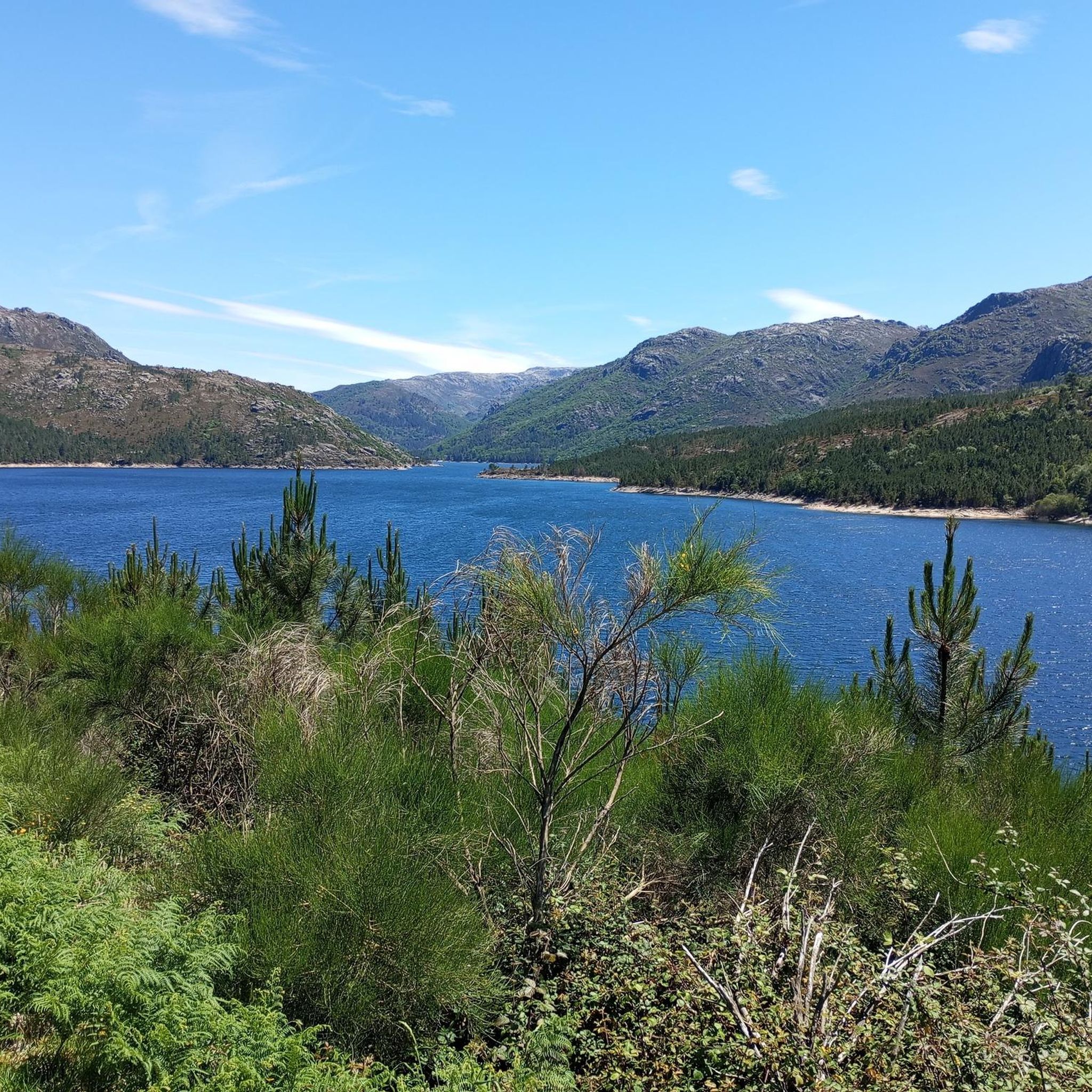
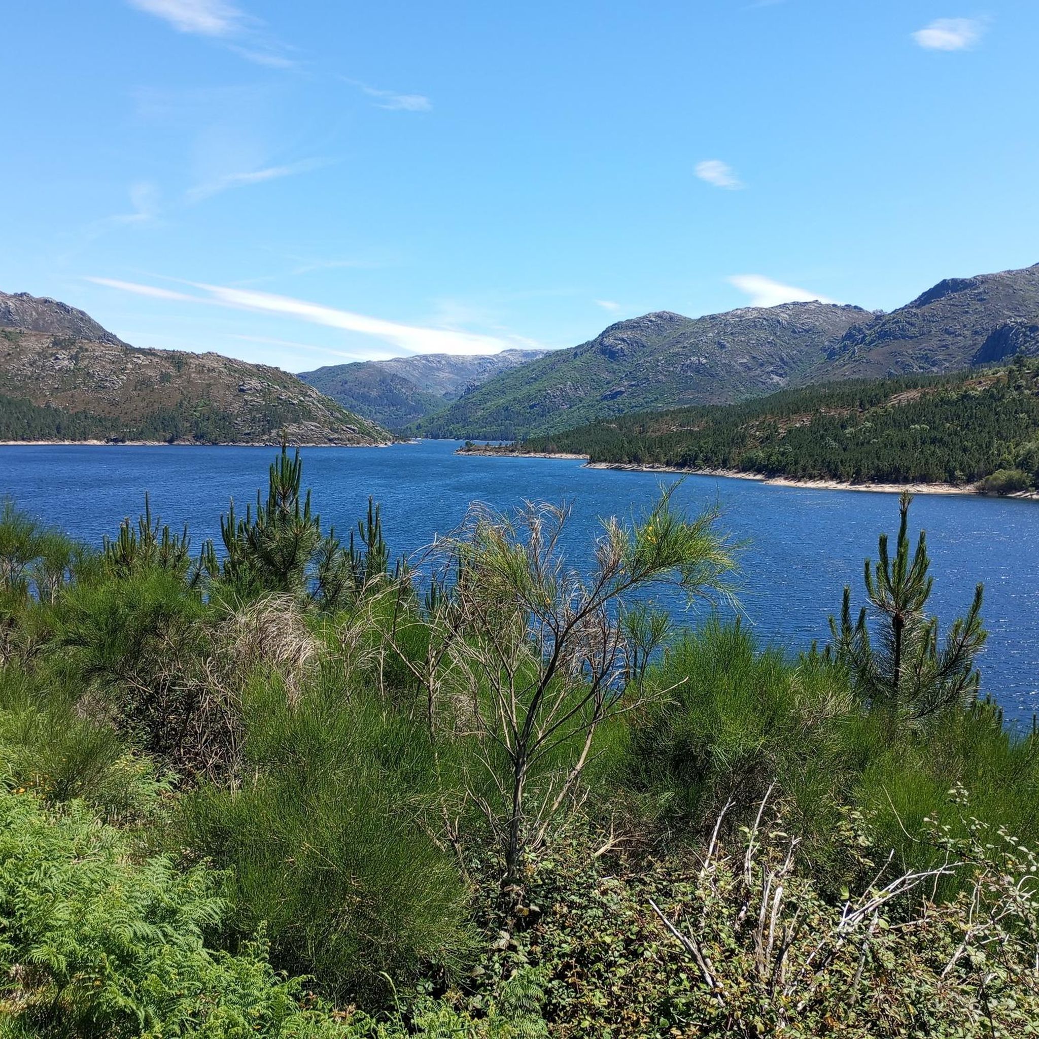
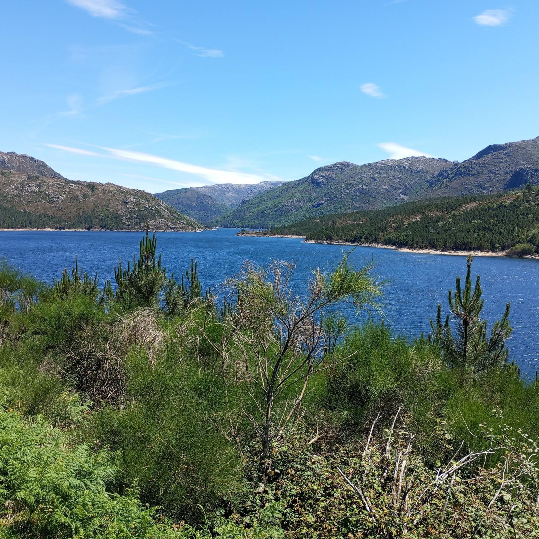
Dam with a fantastic view, and also provides quick access to both banks...
0
0

Today we decide to take the designated hiking trail PR 1. We walk it anti-clockwise, which turns out to be a good decision. The ascent is much steeper this way, but in our opinion it is easier to go up than down - especially the smaller climbs over the large boulders. The descent is then longer, but also flatter and quite easy to walk. A head for heights, surefootedness and good footwear are a must! - As are long trousers; no matter how warm it is! The trail is very narrow in places and overgrown with blackberries and nasty gorse on the left and right.
1
0

We hiked the Covid loop (yellow and red lines) clockwise. The ascent was OK. The rocky landscape was spectacular. The Slut was also impressive, but considering the many rocks, it was just another somewhat more exclusive highlight among many. The descent, however...described in Komoot as well-maintained hiking trails, no special skills required. It's an overgrown trail with (very) high steps and scree sections. Very good fitness and surefootedness are required to safely navigate it. The less than three hours for the loop is also very ambitious. At the end of the descent, there was a dog park with some very aggressive dogs running loose on the trail; we felt like we barely made it through unscathed. Next time, I'd turn around at the Slut and take the same route back. Be sure to bring plenty of drinks. Great scenery, very tiring.
2
0

Be careful of stray dogs. Encountered a few, one of them forcing us to turn around since it kept jumping up on us and snapping/ behaved aggressively.
3
1
Frequently Asked Questions
What cultural and historical sites can I visit in Balança?
Balança is home to the Igreja Paroquial de São João da Balança, a recognized heritage site that reflects the parish's local history and cultural significance. While Balança itself is small, it serves as a gateway to the broader historical context of the Terras de Bouro municipality.
Are there any impressive man-made structures to see near Balança?
Yes, the Caniçada Dam is a notable man-made monument near Balança. Built in 1955, this impressive structure dams the Cávado River and its tributary Rio Gerês, featuring a height of 76m and a crown length of 246m. It offers fantastic views and provides quick access across the reservoir.
Where can I find unique natural rock formations around Balança?
You can explore the Granite Rock Formations of Peneda-Gerês National Park. These imposing granite boulders sculpt the landscape with impressive shapes and dimensions. The area offers panoramic views over the Covide valley, with Curvaceira, the highest point at 919 meters above sea level, to the south.
Are there challenging hiking trails with historical significance near Balança?
Absolutely. The Fenda da Calcedónia is a gorge recognized as one of the iconic routes in Peneda-Gerês National Park. This trail leads to the ruins of the City of Chalcedony, an ancient pre-Roman hill fort, and offers panoramic views over the Homem River valley and the Gerês mountains, passing through native forests and rocky areas. Be prepared for narrow trails and steep inclines.
What are the best viewpoints to visit near Balança?
For stunning vistas, consider the São Bento Swing Viewpoint. Additionally, the Granite Rock Formations of Peneda-Gerês National Park and Fenda da Calcedónia also offer panoramic views of the surrounding valleys and mountains.
What kind of outdoor activities can I do around Balança?
The area around Balança is excellent for outdoor activities. You can find numerous routes for hiking, touring cycling, and road cycling. For detailed routes and guides, explore the options for Hiking around Balança, Cycling around Balança, and Road Cycling Routes around Balança.
Are there any challenging climbs or trails for experienced hikers?
Yes, the region offers several challenging options. The Granite Rock Formations of Peneda-Gerês National Park involve a challenging climb with narrow trails and steep inclines. Similarly, the Ascent to the Rock Crevice (Reserva da Biosfera Transfronteira Gerês-Xurés) is a demanding trail that requires surefootedness and good footwear, often involving climbs over large boulders.
What do visitors particularly enjoy about the attractions near Balança?
Visitors frequently praise the spectacular rocky landscapes and impressive natural formations. Many appreciate the panoramic views from various viewpoints and the challenging yet rewarding nature of the trails, especially those leading through native forests and ancient sites. The sheer grandeur of the mountain landscape is a common highlight.
Are there any specific tips for hiking the more challenging trails, like Fenda da Calcedónia?
For trails like Fenda da Calcedónia, it's highly recommended to bring plenty of water, wear good footwear, and be prepared for steep, rocky sections. Some parts can be overgrown, so long trousers are advisable. Surefootedness and a head for heights are essential. Some hikers suggest going anti-clockwise for the Ascent to the Rock Crevice as the ascent is steeper but easier to navigate upwards than downwards.
What is the general character of the landscape around Balança?
The landscape around Balança is characterized by a blend of local heritage and the dramatic natural beauty of the Terras de Bouro municipality, which is part of the Peneda-Gerês National Park. You'll find impressive granite rock formations, deep gorges, rivers, and reservoirs, all contributing to a rugged and scenic environment.
Can I find information about the local wildlife or natural environment?
The region, particularly within the Peneda-Gerês National Park, is known for its diverse natural environment. You might encounter Barrosã cows roaming freely across the hills, especially in higher elevations around the Granite Rock Formations. The trails often pass through native forests, offering a glimpse into the local flora.
Most popular routes around Balança
Most popular attractions around Balança

Get inspired with the komoot mobile app


Explore more
Still not found the Highlight you’re looking for? See guides of the top attractions in other regions:
