The best running trails around Chorense e Chorense e Chorense e Monte
4.2
(5)
410
runners
26
runs
Jogging routes around Chorense e Chorense e Chorense e Monte offer diverse terrain within northern Portugal's Terras de Bouro region. The area is characterized by lush forests, rolling hills, and the serene River Cávado. Many routes traverse parts of Peneda-Gerês National Park, providing varied landscapes from cascading waterfalls to wilderness areas. This topography creates a range of running experiences, from gentle paths to more challenging inclines.
Best jogging routes around Chorense e Chorense e Chorense e Monte
- The most popular…
Last updated: May 23, 2026
16
runners
6.70km
01:03
390m
390m
Hard run. Very good fitness required. Mostly paved surfaces. Suitable for all skill levels.
110
runners
36.3km
04:31
1,180m
1,180m
Hard run. Very good fitness required. Sure-footedness, sturdy shoes and alpine experience required.

Sign up for free
4.0
(1)
22
runners
10.2km
01:26
600m
600m
Hard run. Very good fitness required. Mostly paved surfaces. Suitable for all skill levels.
26
runners
11.6km
01:47
650m
650m
Hard run. Very good fitness required. Sure-footedness, sturdy shoes and alpine experience required.
18
runners
Moderate run. Good fitness required. Mostly paved surfaces. Suitable for all skill levels.
Get access to more routes and recommendations from other explorers.
Sign up for free
Already have an account?
Our route recommendations are based on thousands of hikes, rides, and runs completed by other people on komoot.
Start today with a free account
Your next adventure awaits.
Login or Signup
Popular around Chorense e Chorense e Chorense e Monte

Tips from the Community

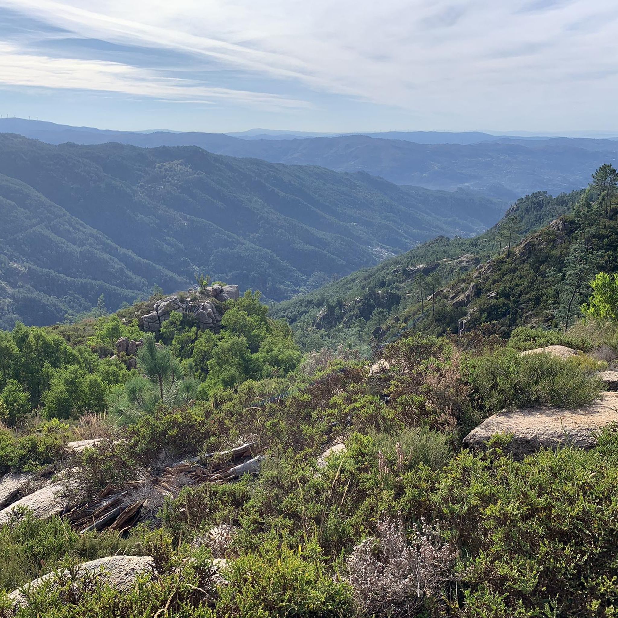
The Chalcedony Trail (PR1 TBR – Trilho da Cidade da Calcedonia) is one of the most iconic routes in Peneda-Gerês National Park, located in Covide (Braga), within the municipality of Terras de Bouro. It leads to the ruins of the City of Chalcedony, an ancient pre-Roman hill fort high in the mountains. It offers panoramic views over the Homem River valley and the Gerês mountains. The trail passes through native forests, rocky areas, and natural viewpoints.
2
0
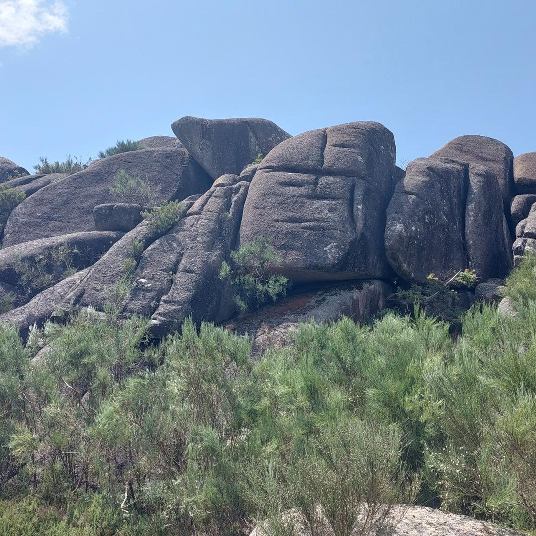
A spectacular rocky section where granite boulders rise like "sleeping giants" all around you. The trail ascends towards the peak of Curvaceira, at 919m, and offers panoramic views of the deep Covide Valley.
2
0


Campo do Gerês is a picturesque village located in the heart of the Peneda-Gerês National Park. It is renowned as an ideal starting point for hiking and outdoor activities, offering access to trails, waterfalls and breathtaking views. The village itself retains a traditional atmosphere, with granite houses and a museum documenting local history, including Roman remains of the Via Nova (Geira).
0
0

The Calcedonia Crack is one of those passages that seems to have come straight out of an old fairy tale: a monumental crack between two granite giants. For those who like a challenge, the route involves climbing and jumping between huge blocks fitted together at the base. Going up is easier than going down: there is more support, more traction, and less hesitation. There is no need to cross it (the trail elegantly skirts the crack) but, for the more adventurous, facing this crack is almost a ritual: a mix of adrenaline, vertigo and raw landscape that leaves its mark on those who pass by.
1
1
As you climb, the granite blocks grow around you like sleeping giants. To the south, the Curvaceira rises up at 919 metres. To the north, the Covide valley stretches out below, green and deep. Here, the barrosãs roam freely among the rocks, but those who run know: this is the hard part. Tapered trails, serious ramps and rock that sometimes begs for a handhold on the ground. This is the mountain in its purest form, above 800 metres. Raw, beautiful and unforgettable.
1
1

The Leonte Waterfall appears when the waters of the Taleira stream fall from a granite cliff, plunging 19 metres into the bed of the Gerês River. However, in drier summers, nature imposes its own rhythm and the flow can disappear, transforming the waterfall into a temporary silence.
4
1
Frequently Asked Questions
How many running routes are available in Chorense e Monte?
The Chorense e Monte region offers over 25 dedicated running routes. These trails provide a variety of experiences, from moderate paths to more challenging routes, catering to different fitness levels.
What kind of terrain can I expect on the running trails in Chorense e Monte?
You can expect diverse terrain, characterized by lush forests, rolling hills, and the serene River Cávado. Many routes traverse parts of the Peneda-Gerês National Park, offering varied landscapes from cascading waterfalls to wilderness areas. This topography creates a range of running experiences, from gentle paths to more challenging inclines.
Are there any running routes that pass by waterfalls or other natural features?
Yes, the region is rich in natural beauty. You can find routes that lead to stunning natural features like the Fecha de Barjas Waterfall (Tahiti) or the dramatic Fenda da Calcedónia gorge. The Trilho da Calcedónia (PR 1), for instance, offers an immersive experience within the national park's natural environment.
Can I find any historical landmarks or points of interest along the jogging routes?
Absolutely. The region blends natural beauty with historical elements. For example, the challenging Campo do Gerês Roman Road – Campo do Gerês village loop from Gerês explores historical elements alongside natural scenery. While not directly on a jogging route, the monumental Baroque stairway of Bom Jesus do Monte offers a unique workout challenge and stunning architectural views nearby.
Are there family-friendly running options in the region?
While many routes are rated as 'difficult', the diverse terrain of Chorense e Monte means there are also easier paths suitable for families looking for a less strenuous jog or walk. Look for routes with less elevation gain and shorter distances for a more family-friendly experience.
Are dogs allowed on the running trails in Chorense e Monte?
Peneda-Gerês National Park, which encompasses many of the running trails, generally allows dogs on trails, but they must be kept on a leash to protect wildlife and ensure the safety of other visitors. Always check specific trail regulations before heading out with your pet.
What are the parking options near the running trails?
Parking availability varies by trail. For routes within Peneda-Gerês National Park, designated parking areas are often available near trailheads. For specific routes, it's advisable to check the route details on komoot for information on nearby parking facilities.
Is public transport available to access the jogging routes?
Public transport options to access the more remote running trails, especially those deep within Peneda-Gerês National Park, can be limited. It's often more convenient to reach trailheads by car. However, some villages like Gerês, which serve as starting points for several routes, may have bus connections.
Are there any circular running routes in Chorense e Monte?
Yes, many of the running routes in the region are designed as loops, allowing you to start and finish at the same point. Examples include the Campo do Gerês Roman Road – Campo do Gerês village loop from Gerês and the View of Gerês village loop from Gerês, offering convenient circular options.
What is the best time of year for jogging in Chorense e Monte?
The region is beautiful year-round, but spring and autumn generally offer the most pleasant conditions for jogging, with milder temperatures and vibrant natural scenery. Summers can be warm, especially at midday, while winters are cooler and can bring rain, though trails remain accessible.
Where can I find refreshments or accommodation near the trails?
Villages like Gerês and Campo do Gerês, which are often starting points for many routes, offer various amenities including cafes, restaurants, and accommodation options. It's a good idea to plan your route to pass through or near these villages if you require refreshments or a place to stay.
What do other runners say about the trails in Chorense e Monte?
The running routes in Chorense e Monte are highly rated by the komoot community, with an average score of 4.2 stars from over 5 reviews. Runners often praise the stunning natural landscapes, the challenge of the varied terrain, and the immersive experience within Peneda-Gerês National Park.
Are there any long-distance running challenges in the area?
For those seeking a significant challenge, routes like the Campo do Gerês Roman Road – Campo do Gerês village loop from Gerês offer a substantial distance of 22.6 miles (36.4 km) with considerable elevation gain, providing an excellent long-distance running experience.
Can I combine running with exploring lakes in the region?
Yes, the region features several beautiful lakes and reservoirs. While not all running routes directly follow the shorelines, you can find viewpoints overlooking bodies of water like the Rio Gerês reservoir or the Rio Homem Reservoir. The Caniçada Dam and Vilarinho da Furna Dam are also notable water features in the area.
Most popular routes around Chorense e Chorense e Chorense e Monte
Most popular attractions around Chorense e Chorense e Chorense e Monte

Get inspired with the komoot mobile app


Explore more
Browse the best Running Trails & Routes in other regions.
