The 20 Most Amazing Peaks around Eschenburg
Mountain peaks around Eschenburg, a municipality in the Lahn-Dill district of Hesse, Germany, offer diverse outdoor experiences. The region features a picturesque landscape with elevated points providing hiking opportunities and scenic views. Eschenburg's natural beauty is characterized by rolling hills, dense forests, and notable summits that contribute to its appeal for outdoor enthusiasts. The area is known for its variety of trails and viewpoints.
Best mountain peaks around Eschenburg
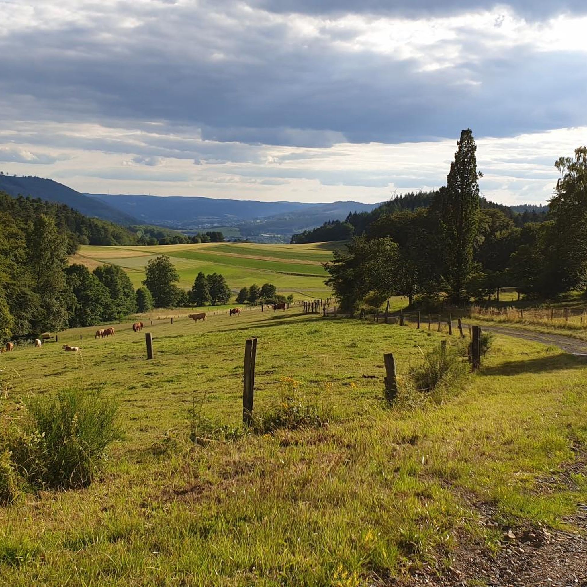
- The most popular mountain peaks is Tiefenrother Höhe viewpoint, a viewpoint renowned for its expansive panoramic views, especially over the densely forested Siegerland region. It features the "Nose in the Wind" viewing platform, a popular spot along the Rothaarsteig long-distance hiking trail.
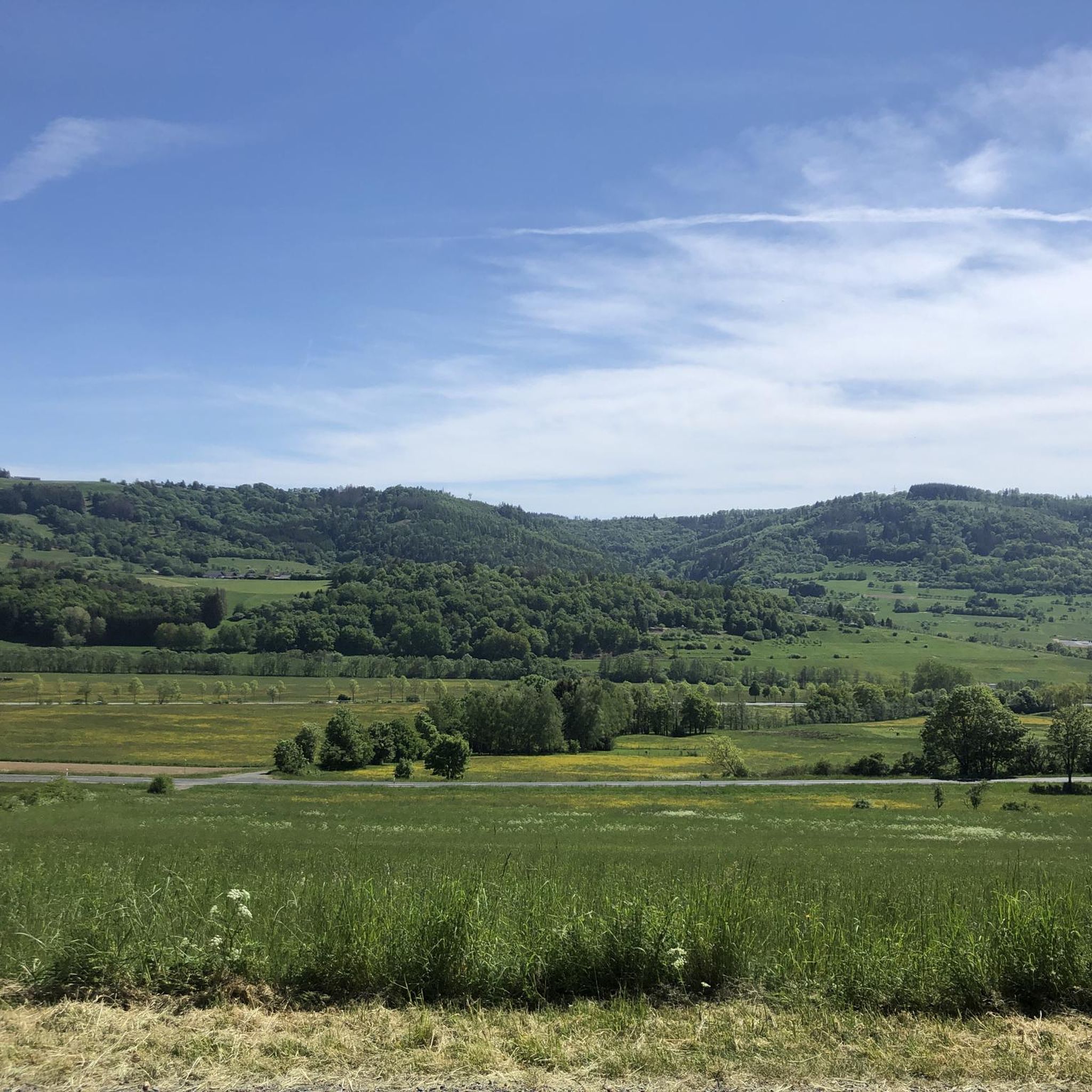
- Another must-see spot is Highest Point in the Lahn-Dill District, a summit that marks the highest elevation in the Lahn-Dill district. This spot is located near the Jagdberg and is considered a worthwhile destination for those exploring the region's highest points.
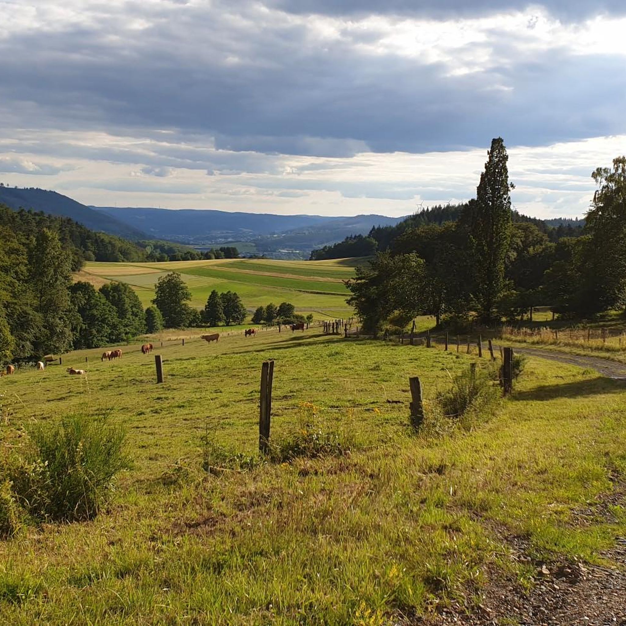
- Visitors also love Hünstein Observation Tower, a viewpoint that offers a distant view of the surrounding area. This observation tower is noted for its camouflaged design and provides a reward for hikers reaching its summit.
- Eschenburg is known for its viewpoints, summits, and natural monuments. The region offers a variety of mountain peaks to see and explore, ranging from accessible trails to more challenging routes.
- The mountain peaks around Eschenburg are appreciated by the komoot community, with more than 3,300 upvotes and 2,400 photos shared.
Last updated: August 17, 2026
Tiefenrother Höhe viewpoint
Highlight • Viewpoint
Translated by Google •
Tip by

Highest Point in the Lahn-Dill District
Highlight • Summit
The highest point is a little further off the beaten track. The sign was brought forward some time ago.
Translated by Google •
Tip by
Sign up now to discover places like this
Get recommendations on the best single tracks, peaks, & plenty of other exciting outdoor places.
Sign up for free
Dietzhölztal Shelter
Highlight • Mountain Hut
Translated by Google •
Tip by

Hünstein Observation Tower
Highlight • Viewpoint
Translated by Google •
Tip by

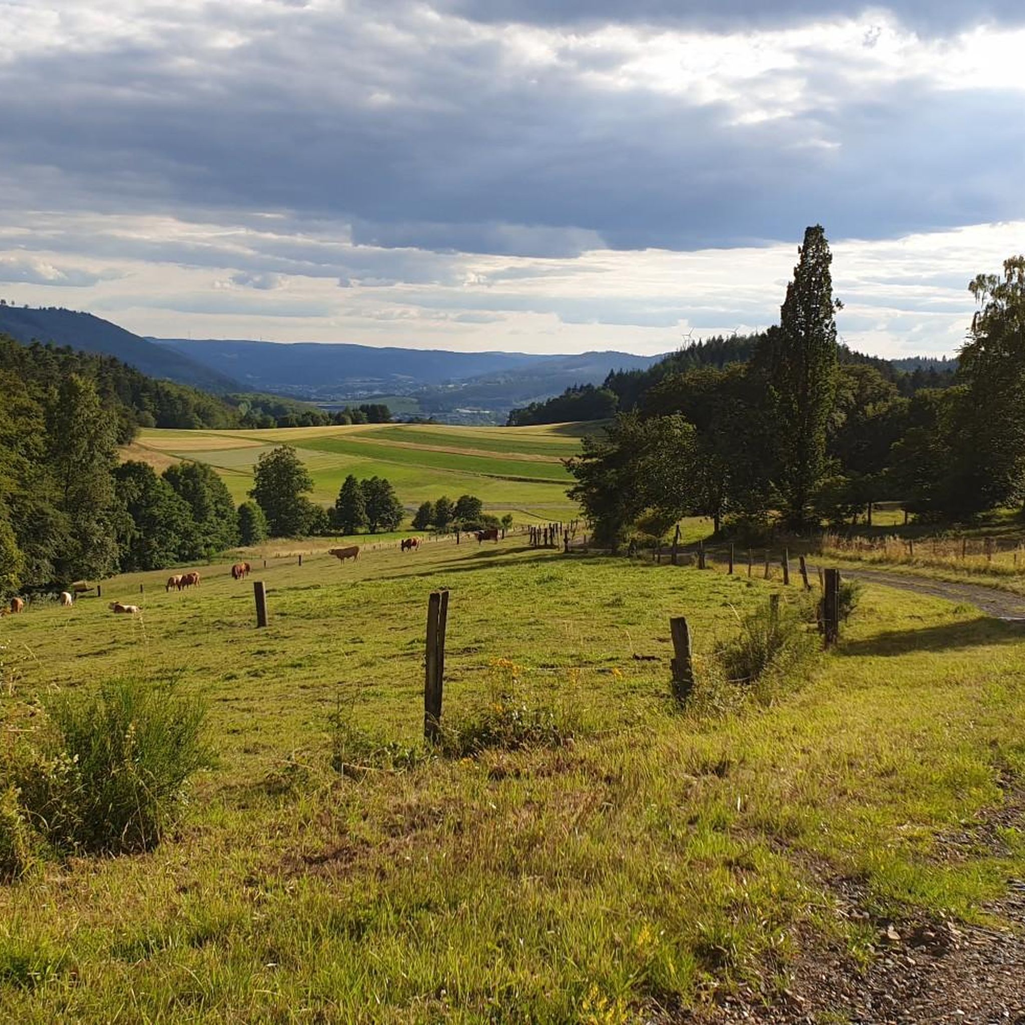
Highest point in southern Wittgenstein (694.1 m)
Highlight • Summit
Translated by Google •
Tip by

Sign up for free to discover even more peaks around Eschenburg.
Sign up for free
Already have an account?
Start today with a free account
Your next adventure awaits.
Login or Signup
Tips from the Community

The highest elevation in southern Wittgenstein. Unfortunately we were there in the fog and I can't say anything about the view. Otherwise you can plan the compass in beautiful hiking tours.
6
0

In my opinion the best camouflaged observation tower in the region. It is still worth climbing up, as the distant view is not yet completely overgrown and an almost full hiking book awaits as a reward. The hiking trail to and from the tower is very nice.
11
0

Small, somewhat aging tower. Unfortunately, the view only works towards Holzhausen and there it is rather sparse. The tree growth around the tower is now about to overthrow the tower.
9
0

Great view and a nice stop on the hike, highly recommended
6
0

From here you can make a short run straight to the Ilsetal Trail.
6
0

The summit is somewhat disappointing because it can hardly be recognized as such. Is it really good to set up wind turbines right here?
7
1

Small, somewhat old green wooden tower with a not so beautiful view.
11
1

Nice place where you don't stay long when it's windy. You can feel the wind extremely.
6
0
Frequently Asked Questions
What are the most popular mountain peaks and viewpoints around Eschenburg?
Among the most popular spots is the Tiefenrother Höhe viewpoint, known for its expansive panoramic views over the Siegerland region and the "Nose in the Wind" viewing platform. Another highly regarded location is the Hünstein Observation Tower, which offers a distant view of the surrounding area and is noted for its unique camouflaged design.
Are there family-friendly hiking options among the mountain peaks in Eschenburg?
Yes, the region offers several family-friendly options. The Eschenburg mountain itself features an "Eschenburg extra route," which is an easy circular trail with magnificent views and convenient rest areas, ideal for leisurely exploration. The Tiefenrother Höhe viewpoint is also categorized as family-friendly, offering well-maintained paths suitable for various ages.
What kind of views can I expect from the mountain peaks in the Eschenburg region?
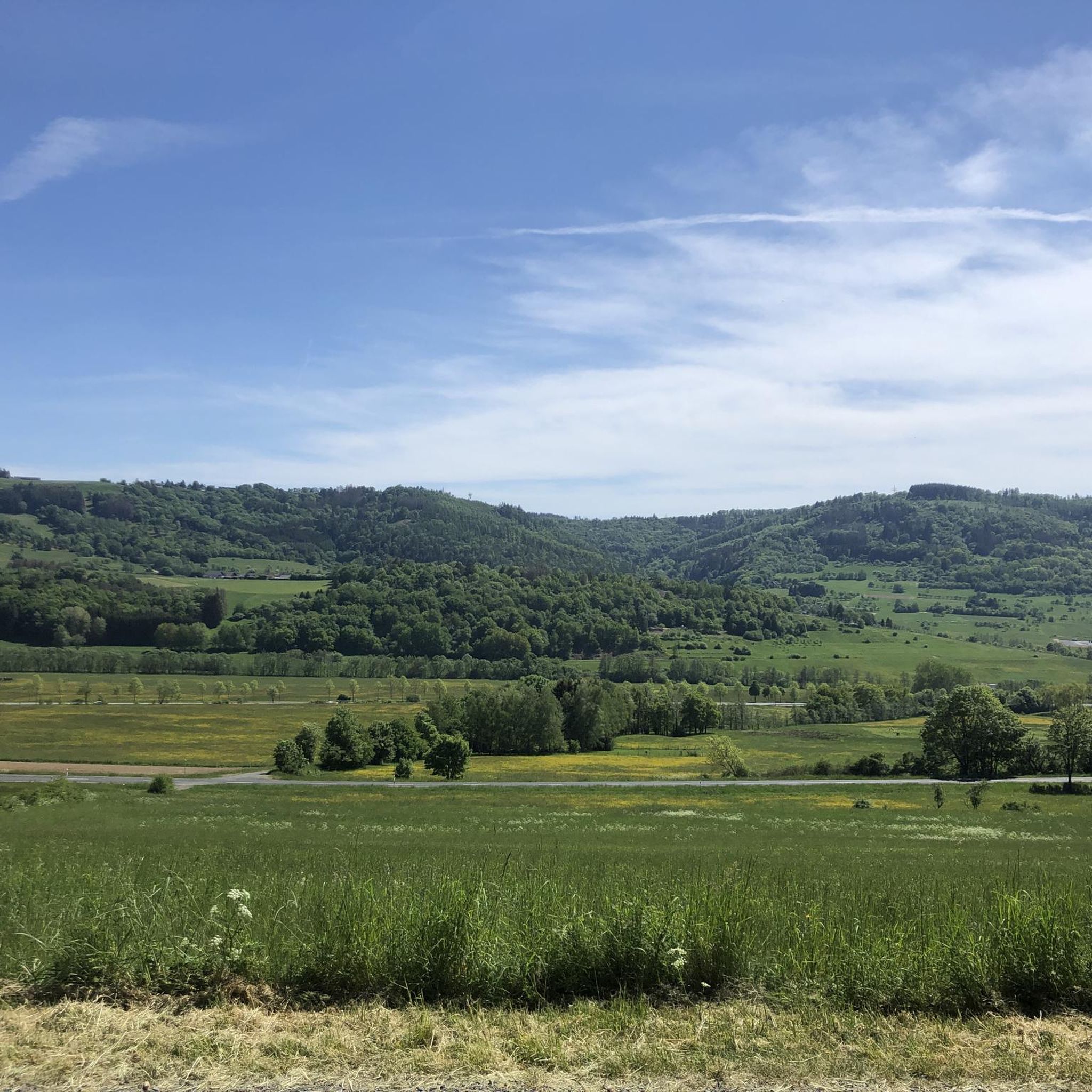
The mountain peaks around Eschenburg offer diverse and impressive views. From Tiefenrother Höhe, you can enjoy panoramic vistas over the densely forested Siegerland. The Angelburg mountain area provides impressive panoramic views over rolling hills, lush meadows, and dense forests. Even from the Hünstein Observation Tower, you can get a rewarding distant view of the landscape.
What historical significance do the mountain peaks around Eschenburg hold?
The Eschenburg mountain, the namesake of the region, historically housed a 43-meter wooden tower with a stone base that was destroyed in 1945. Its foundation stones were later repurposed during reconstruction. While the tower is gone, the mountain remains integral to local hiking traditions and offers a connection to the area's past.
What outdoor activities are available near the mountain peaks in Eschenburg?
Beyond peak bagging, the region offers extensive outdoor activities. You can find numerous hiking opportunities, including easy, moderate, and difficult trails. For cyclists, there are road cycling and gravel biking routes. For more details on specific routes, you can explore guides like Hiking around Eschenburg, Road Cycling Routes around Eschenburg, and Gravel biking around Eschenburg.
Are there any challenging hiking routes around Eschenburg's peaks?
Yes, for those seeking more challenging experiences, the Tiefenrother Höhe, while having well-maintained paths, also features a more challenging, steep root trail. The Rothaarsteig long-distance hiking trail, which passes through the area, also offers sections with varying difficulty. Additionally, some gravel biking routes in the region are rated as difficult, indicating rugged terrain.
Can I find amenities like shelters or rest stops on the trails?
Yes, several peaks and trails offer amenities. The Eschenburg extra route has convenient rest areas. On the Tiefenrother Höhe, you'll find "Waldsofas" (forest sofas) and information boards. The Dietzhölztal Shelter is also available as a resting place, particularly useful for those on the Rothaarsteig.
What is the highest point in the Lahn-Dill District?
The highest point in the Lahn-Dill District is a rather inconspicuous spot located in the immediate vicinity of the Jagdberg. It is marked and considered a worthwhile destination for those exploring the region's highest elevations. You can find more information about this specific summit at Highest Point in the Lahn-Dill District.
Is there skiing or winter sports available near Eschenburg's peaks?
Yes, the Eichholzkopf mountain, with an elevation of 610 meters, is distinguished by its ski lift and lodge. It caters well to beginners and children for skiing and tobogganing, though it relies on natural snow. During winter, it also offers 6 km and 12 km circuits for cross-country skiers, with a ski hut that can accommodate about 70 people.
What are some notable hiking trails near Angelburg mountain?
The municipality of Angelburg, located near the Angelburg mountain, is known for its abundant hiking opportunities. Notable routes in the area include the "Hirzenhainer Höhenflug" and "Hörlepanoramaweg," both promising impressive panoramic views. A circular route passing the Wilhelmsteine also leads to the Angelburg elevation.
What is the highest point in southern Wittgenstein?
The highest elevation in southern Wittgenstein is 694.1 meters, located near a wind turbine. Despite the presence of the turbine, it offers a good view in favorable weather and is noted for being less crowded than parts of the Rothaarsteig. You can visit this summit at Highest point in southern Wittgenstein (694.1 m).
Are there any specific trails that offer views of historic sites?
Yes, the area around Eichholzkopf, particularly the nearby Dietzhölztal, features a variety of hiking trails. The "Dietzhöltal Panorama Trail" provides scenic views that include historic half-timbered houses and castle ruins, offering a blend of natural beauty and cultural interest.
Most popular routes around Eschenburg
Most popular attractions around Eschenburg

Get inspired with the komoot mobile app


Explore more
See even more amazing summits around Eschenburg with these guides:
