The best cycling routes around Rio Caldo
4.4
(36)
477
riders
32
rides
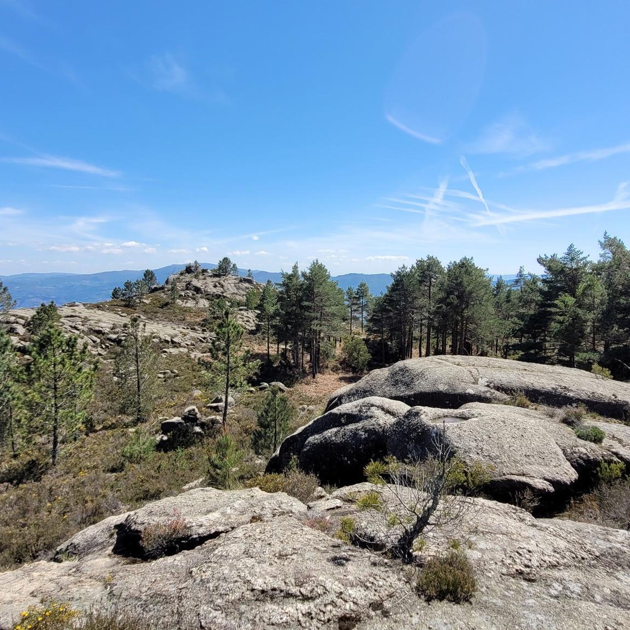
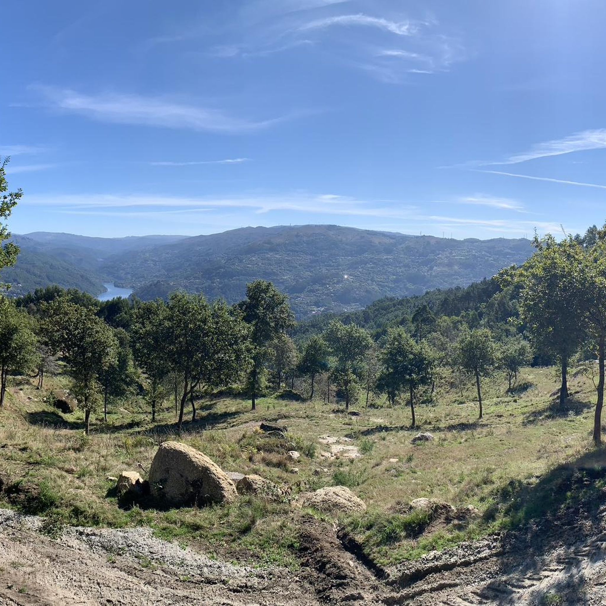
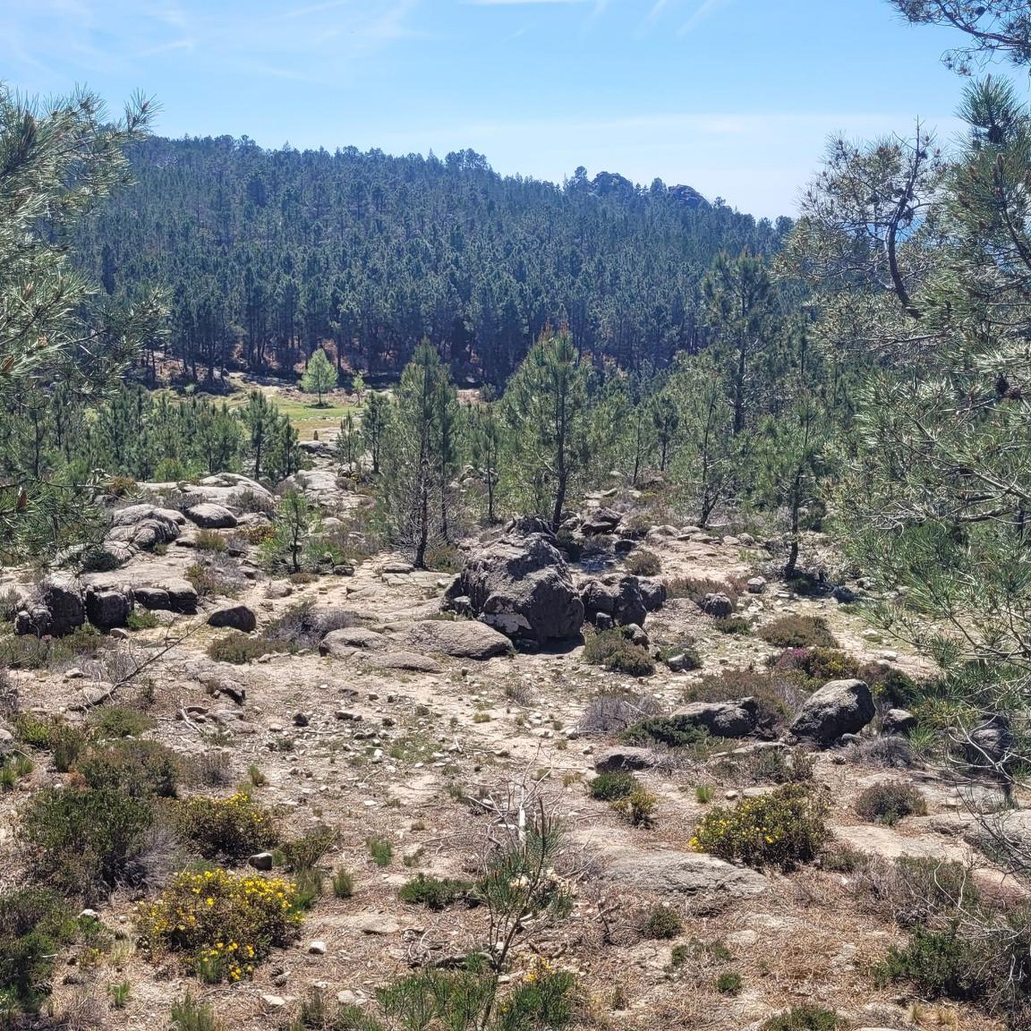
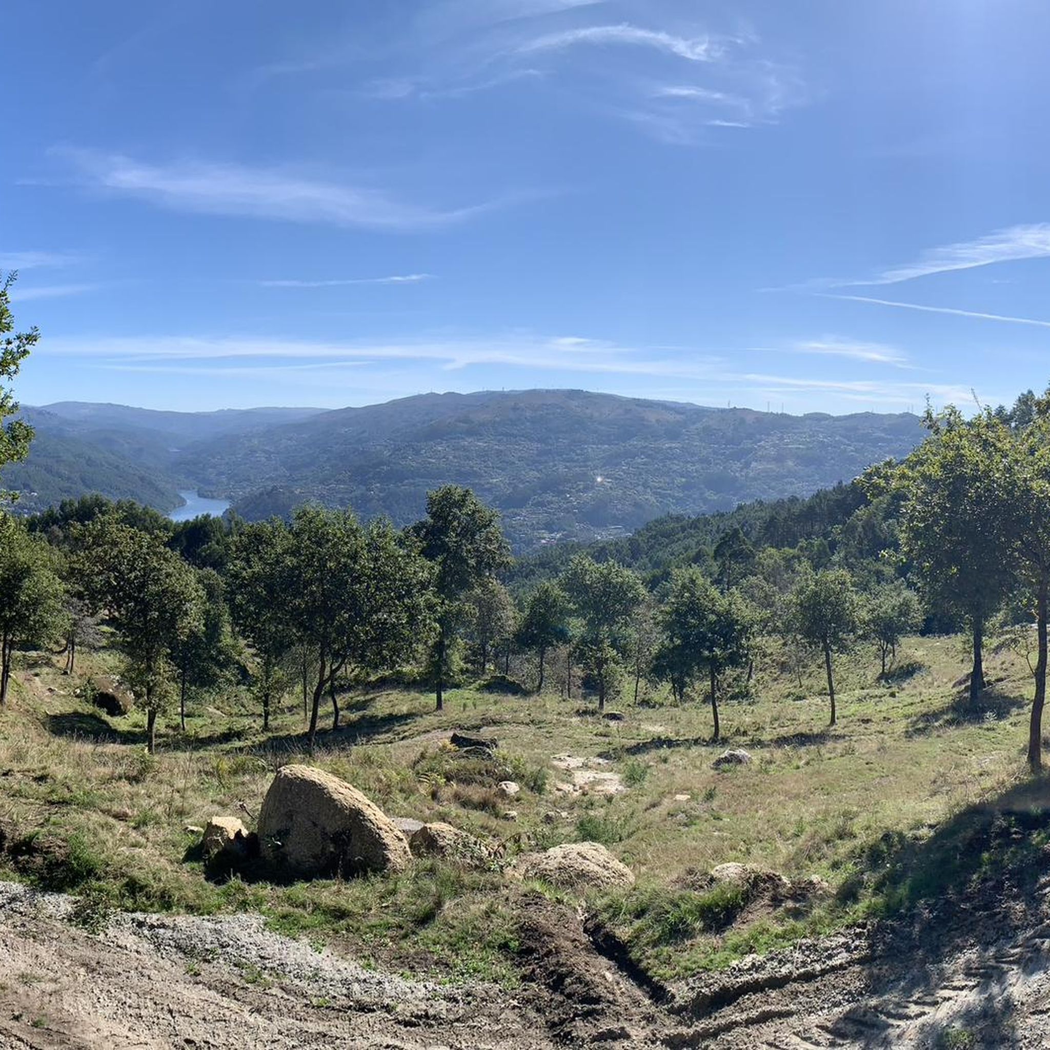
Touring cycling around Rio Caldo offers routes through varied terrain within Peneda-Gerês National Park, characterized by the Cávado River valley and surrounding forested hills. The region features mountainous landscapes, deep valleys, and ancient forests, providing a challenging yet rewarding environment for cyclists. Routes often provide views of the Caniçada Reservoir, which significantly shapes the landscape. Elevations are generally moderate, with some routes including gradual climbs and descents through rural landscapes.
Best touring cycling routes around Rio Caldo
- The most popular touring cycling route is Caniçada Reservoir – Porta do Homem Border Crossing loop from Rio Caldo, a 27.5 miles (44.2 km) trail that takes about 3 hours 30 minutes to complete. This difficult route features significant elevation gain through mountainous terrain.
- Another top favourite among local touring cyclists is Gerês Reservoir – Caniçada Reservoir loop from Vilar da Veiga, a Moderate 9.7 miles (15.6 km) path. This route offers views of both the Gerês and Caniçada Reservoirs with moderate climbs.
- Local touring cyclists also love the Ponte de Eixões – Caniçada Reservoir loop from Cova, a 26.6 miles (42.9 km) trail leading through forested hills and along the reservoir, often completed in about 3 hours 20 minutes.
- Touring cycling around Rio Caldo is defined by river valleys, forested hills, and reservoir views. The network offers options for different ability levels, from easier bike trails Rio Caldo along the water to more challenging routes in the surrounding hills.
- The routes in Rio Caldo are highly rated by the komoot community with an average score of 4.3 stars from over 30 reviews. More than 400 touring cyclists have used komoot to explore Rio Caldo's varied terrain.
Last updated: August 14, 2026
5.0
(2)
45
riders
42.6km
03:23
980m
980m
Hard bike ride. Very good fitness required. Mostly paved surfaces. Suitable for all skill levels.
4.0
(6)
34
riders
Moderate bike ride. Good fitness required. Mostly paved surfaces. Suitable for all skill levels.

Sign up for free
4.0
(1)
34
riders
43.0km
03:22
1,120m
1,120m
Hard bike ride. Very good fitness required. Mostly paved surfaces. Suitable for all skill levels.
5.0
(1)
19
riders
81.1km
05:35
1,440m
1,440m
Hard bike ride. Very good fitness required. Mostly paved surfaces. Suitable for all skill levels.
19
riders
47.2km
03:34
1,160m
1,150m
Hard bike ride. Very good fitness required. Mostly paved surfaces. Suitable for all skill levels.
Get access to more routes and recommendations from other explorers.
Sign up for free
Already have an account?
Our route recommendations are based on thousands of hikes, rides, and runs completed by other people on komoot.
Start today with a free account
Your next adventure awaits.
Login or Signup
Tips from the Community

Beautiful, but crowded in July. There are nicer, less crowded swimming spots nearby.
0
0

One of the oldest bridges to cross the Cávado River. It can now only be crossed on foot or by bicycle.
0
0

https://de.m.wikipedia.org/wiki/Basilika_St._Benedikt_der_offenen_T%C3%BCr Portuguese second largest pilgrimage site after Fátima, which is visited by several thousand / million pilgrims every year.
0
0

Located directly on the N308-1. Parking nearby is extremely difficult. The best way is to stop at the border and then walk back along the road (around 1 km).
1
0

Generally speaking, it's a beautiful pool, but because it's so central and easily accessible, it's also quite crowded. There are a few parking spaces, but when it's very busy, they're far from enough. There are certainly nicer and more relaxing pools. It's not ideal for lying or sitting either.
1
0

Granite bridge over the Cávado river constructed on the 14th century
0
0

Cool down in this natural pool after a long climb! Highly recommended!
0
0

Mostly very crowded, look for other better bathing spots nearby. But still a nice waterfall with pool
0
1
Frequently Asked Questions
How many touring cycling routes are available around Rio Caldo?
There are over 30 touring cycling routes mapped and available on komoot for the Rio Caldo area. These routes offer a variety of experiences, from riverside paths to more challenging climbs in the surrounding hills.
Are there any easy touring cycling routes suitable for beginners in Rio Caldo?
While many routes in Rio Caldo feature moderate to difficult sections, there are options for easier bike trails, particularly those that follow the water. The Cávado River Valley Ride is a good example, offering a relatively flat 12.4 miles (20 km) path through agricultural fields and along the riverside.
What kind of terrain can I expect on touring cycling routes in Rio Caldo?
Touring cycling around Rio Caldo features varied terrain, including paved roads and quieter paths. You'll encounter the Cávado River valley, forested hills, and often enjoy views of the Caniçada Reservoir. Elevations are generally moderate, with some routes including gradual climbs and descents through rural landscapes.
Are there any circular touring cycling routes in Rio Caldo?
Yes, many routes in the region are designed as loops. A popular circular option is the Rio Caldo Lakeside Loop, which is 15.5 miles (25 km) and offers continuous views of the Caniçada Reservoir.
What are the best times of year for touring cycling in Rio Caldo?
The spring and autumn months generally offer the most pleasant conditions for touring cycling in Rio Caldo, with milder temperatures and less rainfall. Summer can be warm, especially in the middle of the day, while winter may bring cooler, wetter weather.
What attractions or viewpoints can I see along the touring cycling routes?
The routes often provide scenic views of the Caniçada Reservoir and the surrounding natural landscape. Notable highlights in the area include the Caniçada Dam, the stunning Blue Pool, and the Alqueirão Beach (Gerês beach). You might also encounter waterfalls like Fecha de Barjas Waterfall (Tahiti).
Are there any routes suitable for advanced touring cyclists looking for a challenge?
Yes, Rio Caldo offers several routes with more challenging sections, particularly in the surrounding hills. Out of the 32 available routes, 25 are categorized as difficult, providing ample opportunity for experienced cyclists to test their endurance and climbing skills.
What do other touring cyclists enjoy most about cycling in Rio Caldo?
The area is highly rated by the komoot community, with an average score of 4.4 stars from over 30 reviews. Reviewers often praise the diverse landscapes, from tranquil riverside paths to panoramic vistas in the forested hills, and the continuous views of the Caniçada Reservoir on many routes.
Are there any routes that go through forests or offer panoramic views?
Absolutely. The Gerês Foothills Traverse is a moderate 21.7 miles (35 km) path that winds through a mix of pine and oak forests, with occasional open sections providing panoramic vistas of the region.
Where can I find parking near the touring cycling routes in Rio Caldo?
Parking is generally available in and around the main village of Rio Caldo, particularly near popular starting points for routes along the reservoir or river. It's advisable to check specific route descriptions on komoot for details on designated parking areas.
Can I find cafes or places to stop for refreshments along the bike trails?
Yes, the Rio Caldo area, being a popular tourist destination, has various cafes and restaurants, especially near the Caniçada Reservoir and in the village itself. Many routes pass through or near these amenities, allowing for convenient stops.
Most popular attractions around Rio Caldo

Get inspired with the komoot mobile app


Explore more
Browse the best Cycling routes in other regions.
