The best walks and hikes around Vilar
4.5
(960)
3,231
hikers
88
hikes
Hiking around Vilar offers diverse landscapes characterized by rolling green hills, river valleys, and low mountain ranges, particularly in regions like Galicia, Spain, and northern Portugal. The terrain includes extensive forests, woodlands, and granite mountains, with elevations generally below 1,000 meters but reaching up to 2,000 meters in some eastern areas. Rivers carve through narrow valleys, creating varied natural features suitable for outdoor exploration. This topography provides a range of hiking opportunities from gentle paths to more challenging mountain trails.
…Last updated: July 2, 2026
4.7
(10)
50
hikers
Moderate hike. Good fitness required. Easily-accessible paths. Suitable for all skill levels.
4.8
(8)
41
hikers
Moderate hike. Good fitness required. Easily-accessible paths. Suitable for all skill levels.

Sign up for free
4.8
(8)
35
hikers
16.2km
05:07
630m
630m
Hard hike. Very good fitness required. Easily-accessible paths. Suitable for all skill levels.
4.8
(5)
31
hikers
13.0km
04:00
460m
460m
Moderate hike. Good fitness required. Easily-accessible paths. Suitable for all skill levels.
4.5
(8)
37
hikers
10.0km
03:03
340m
340m
Moderate hike. Good fitness required. Easily-accessible paths. Suitable for all skill levels.
Get access to more routes and recommendations from other explorers.
Sign up for free
Already have an account?
Our route recommendations are based on thousands of hikes, rides, and runs completed by other people on komoot.
Start today with a free account
Your next adventure awaits.
Login or Signup
Tips from the Community

It is located in the parish of Rio Caldo, municipality of Terras de Bouro, Braga. Very close to the Sanctuary of São Bento da Porta Aberta and the lagoon's pier. Photo: The bridge, surrounded by calm waters and mountains, is very photogenic.
2
0

A romantic spot under old trees by a rushing stream. We were here in June, and there was still plenty of water—a truly mystical setting for relaxation and dreaming.
0
1

somewhat adventurous paths
0
0

https://de.m.wikipedia.org/wiki/Basilika_St._Benedikt_der_offenen_T%C3%BCr Portuguese second largest pilgrimage site after Fátima, which is visited by several thousand / million pilgrims every year.
0
0

Be careful of stray dogs. Encountered a few, one of them forcing us to turn around since it kept jumping up on us and snapping/ behaved aggressively.
3
1

The milestones themselves didn't tell me much. The route is beautiful, sometimes difficult, but mostly doable. Sometimes there are also mountain bikers
1
0

What a great place! This rich green is a beautiful play of colours.
2
0

Roman milestone on the Vía Romana XVIII - Nova or Geira. Almost not to be seen.
1
0
Frequently Asked Questions
How many hiking trails are available around Vilar?
There are around 90 hiking trails in the Vilar region, offering a wide range of options for all skill levels. You'll find paths through rolling green hills, river valleys, and forested mountain slopes.
What kind of terrain can I expect when hiking near Vilar?
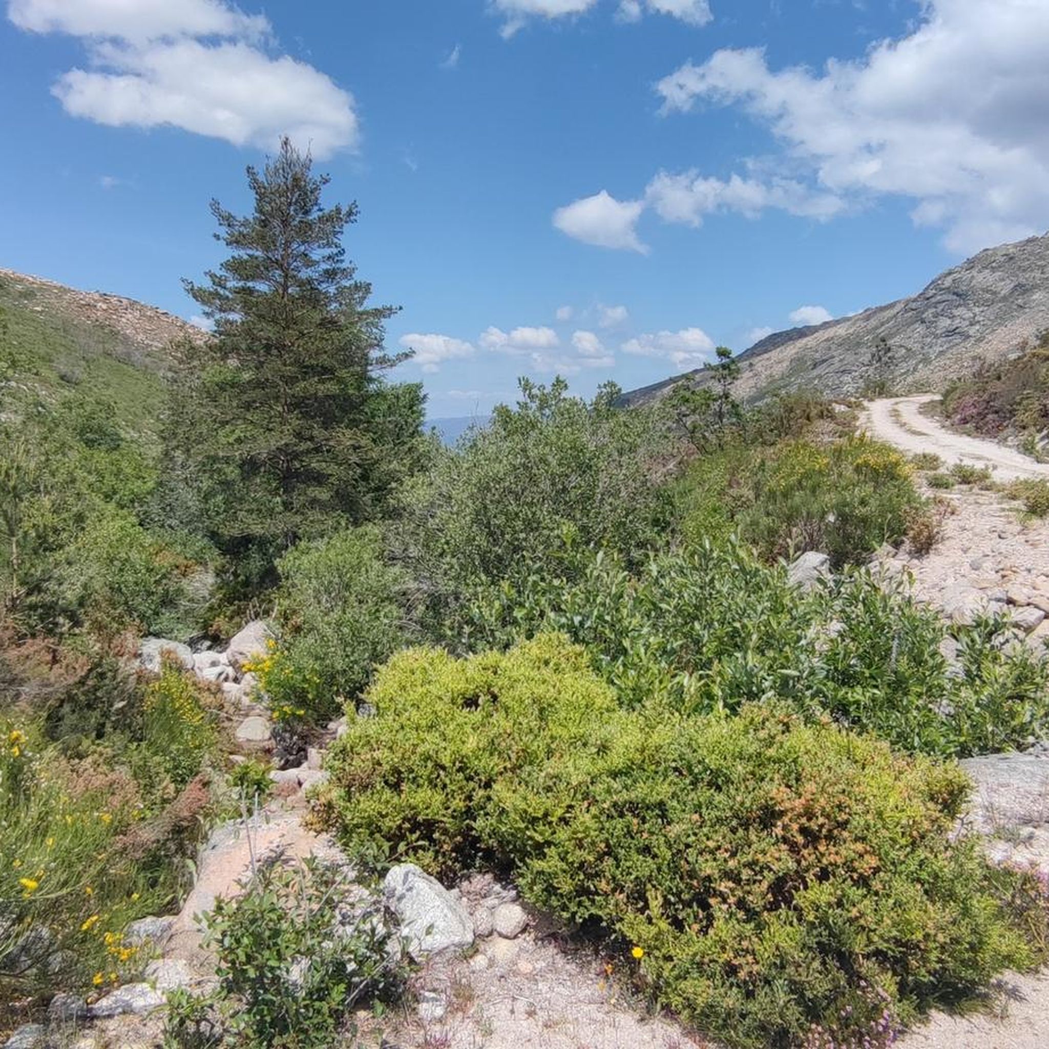
The Vilar region features diverse topography, including rolling green hills, river valleys, and low mountain ranges. You can expect extensive forests, woodlands, and granite mountains, with rivers carving through narrow valleys. This varied landscape provides opportunities for both gentle walks and more challenging mountain trails.
What do other hikers say about the trails around Vilar?
The trails around Vilar are highly rated by the komoot community, with an average score of 4.5 stars from over 1,000 reviews. More than 3,600 hikers have used komoot to explore the varied terrain, often praising the natural beauty and diverse landscapes.
Are there easy hiking trails suitable for beginners in Vilar?
Yes, Vilar offers 17 easy hiking trails perfect for beginners or those looking for a relaxed walk. These routes typically feature gentle paths through agricultural lands or along riverbanks, allowing you to enjoy the scenery without significant elevation changes.
Are there challenging hikes for experienced hikers in Vilar?
Absolutely. For experienced hikers, there are 20 difficult trails available. One such challenging route is the Milestone XXV – Piorneiro Summit (992 m) loop from Covide, which covers 10.1 miles (16.2 km) and leads through varied mountain landscapes with significant elevation gain.
Are there any circular hiking routes around Vilar?
Yes, many of the trails around Vilar are circular, allowing you to start and end at the same point. Examples include the popular Roman Milestone XXVI – Fenda da Calcedónia loop from Covide, a moderate 4.0-mile (6.5 km) trail, and the Piorneiro Summit (992 m) – PR12 Trail of the Mills loop from Chorense e Monte, which is 8.8 miles (14.1 km).
What natural features or landmarks can I see along the trails?
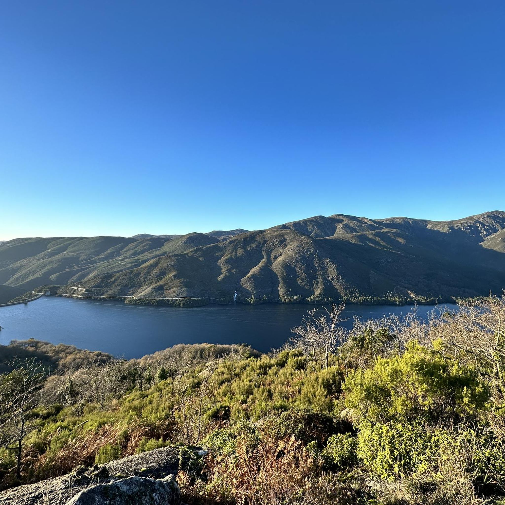
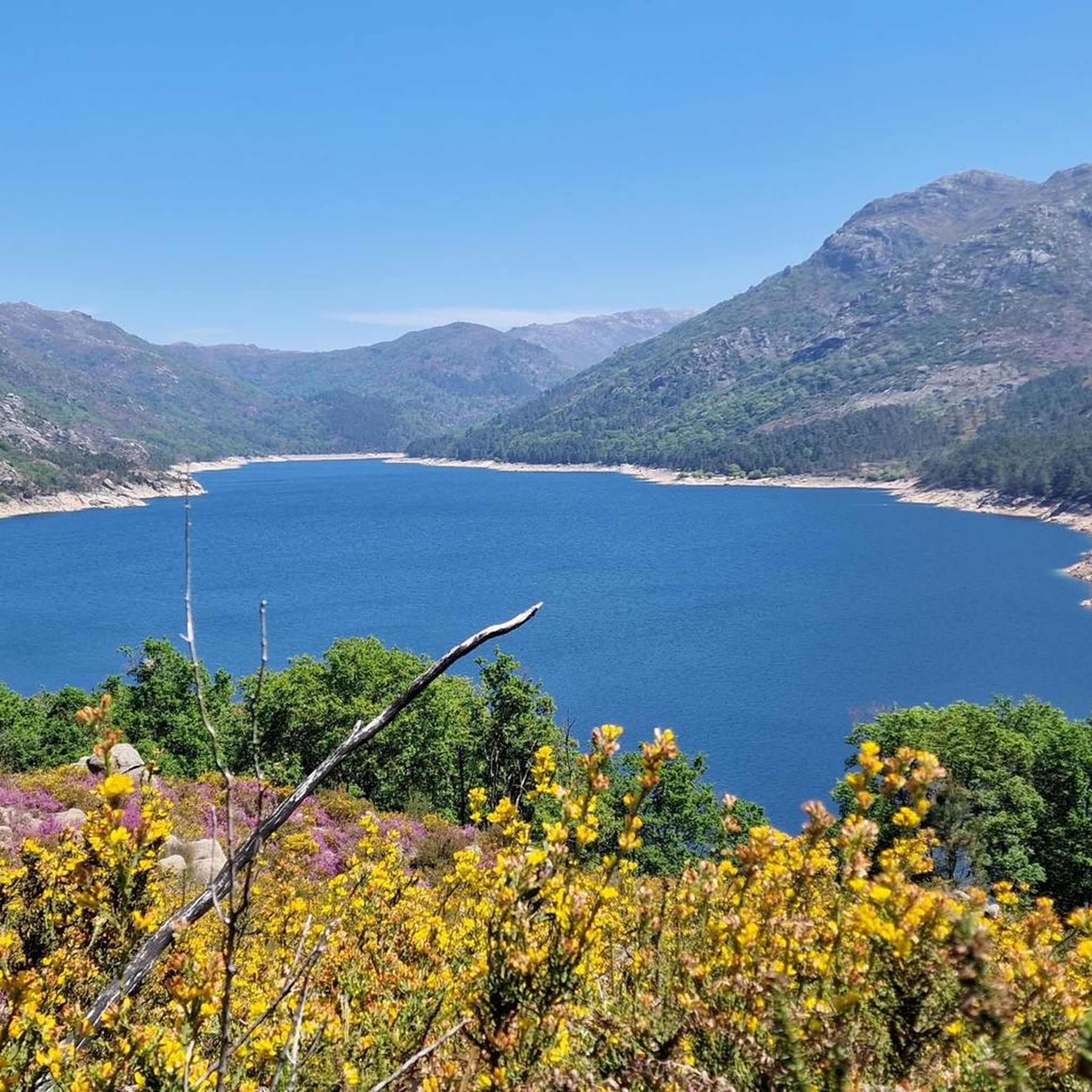
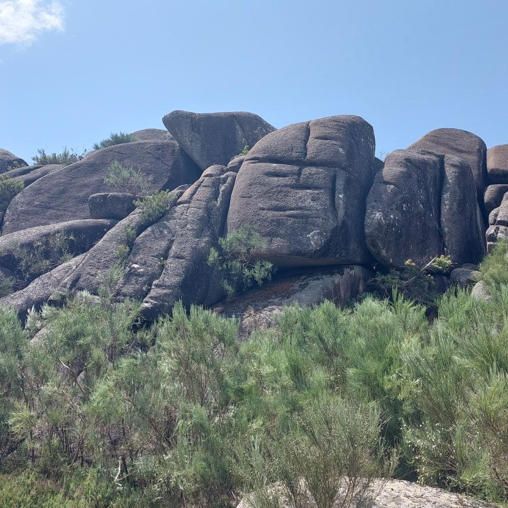
Hiking around Vilar offers opportunities to see various natural features. You might encounter river beaches, dams, and impressive rock formations. Notable attractions include the dramatic Fenda da Calcedónia, the Caniçada Dam, and the Granite Rock Formations of Peneda-Gerês National Park. Some areas also feature idyllic waterfalls and clear water pools.
Are there any trails suitable for families with children?
While specific family-friendly trails are not detailed, the region's 17 easy routes are generally suitable for families. These paths often traverse agricultural lands or follow river courses, providing a gentle introduction to hiking for children. Look for routes with minimal elevation gain and shorter distances.
Can I bring my dog on the hiking trails in Vilar?
Many trails in the Vilar region are dog-friendly, especially those through forests and open countryside. It's always advisable to keep your dog on a leash, particularly in areas with livestock or protected wildlife, and to check local regulations for specific trails or national park areas.
What is the best time of year to go hiking in Vilar?
The Vilar region, particularly in areas like Galicia, Spain, and northern Portugal, benefits from a temperate climate. Spring and autumn generally offer the most pleasant hiking conditions with mild temperatures and vibrant landscapes. Summers can be warm, especially in river valleys, while winters are typically mild but can bring rain.
Are there any wild swimming spots after hiking?
Yes, the presence of river beaches and dams in the region suggests opportunities for wild swimming. For example, the "Praia Fluvial da Albufeira do Vilar" (river beach of the Vilar Dam) near Moimenta da Beira, Portugal, is known for water-based recreation. You can also find natural swimming pools, such as those in the Peneda-Gerês National Park, like the Natural swimming pool in Peneda-Gerês National Park.
Are there any viewpoints with panoramic views?
Yes, the hilly and mountainous terrain around Vilar offers several viewpoints. For instance, the View from Miradouro da Pedra Bela overlooking the Rio Gerês reservoir provides stunning panoramic vistas of the surrounding landscape and waterways.
Most popular routes around Vilar
Most popular attractions around Vilar

Get inspired with the komoot mobile app


Explore more
Browse the best Hikes in other regions.
