The best road cycling routes around Ventosa e Ventosa e Ventosa e Cova
4.3
(23)
893
riders
28
rides
Road cycling routes around Ventosa e Ventosa e Ventosa e Cova traverse a landscape characterized by significant elevation changes, often featuring views of reservoirs and national park areas. The region includes various natural and cultural landmarks, such as churches, dams, and hot springs, providing diverse scenery for road cyclists. The terrain is predominantly hilly, with routes often involving substantial climbs.
Best road cycling routes around Ventosa e Ventosa e Ventosa e Cova
- The most popular road cycling route is Church…
Last updated: July 4, 2026
4.3
(6)
97
riders
75.3km
03:49
1,250m
1,250m
Hard road ride. Very good fitness required. Mostly well-paved surfaces and easy to ride.
3.5
(2)
91
riders
51.5km
03:00
1,210m
1,210m
Hard road ride. Very good fitness required. Mostly well-paved surfaces and easy to ride.

Sign up for free
36
riders
136km
07:17
2,570m
2,570m
Hard road ride. Very good fitness required. Some segments of this route may be unpaved and difficult to ride.
22
riders
34.5km
01:57
760m
760m
Moderate road ride. Good fitness required. Mostly well-paved surfaces and easy to ride.
18
riders
72.0km
04:22
1,870m
1,870m
Hard road ride. Very good fitness required. Mostly well-paved surfaces and easy to ride.
Get access to more routes and recommendations from other explorers.
Sign up for free
Already have an account?
Our route recommendations are based on thousands of hikes, rides, and runs completed by other people on komoot.
Start today with a free account
Your next adventure awaits.
Login or Signup
Popular around Ventosa e Ventosa e Ventosa e Cova
Tips from the Community

An excellent place to end the tour, as we can always get a hot shower.
0
0

Attention, this is an extremely dangerous place. You can never be too careful.
0
0

Impressive waterfalls with several pools, accessible with a bit of climbing. Some climbing aids have been anchored into the rock. However, since the waterfall is located near a road, you're rarely alone here. And there have been fatalities here, as the climb down to the lagoons is not without its dangers.
1
0

Hello, I would like to do this trail but I would like to know if you make stops among the points where you took photos and to know how many minutes you stayed at the points. Thank you for your feedback 😊
0
0

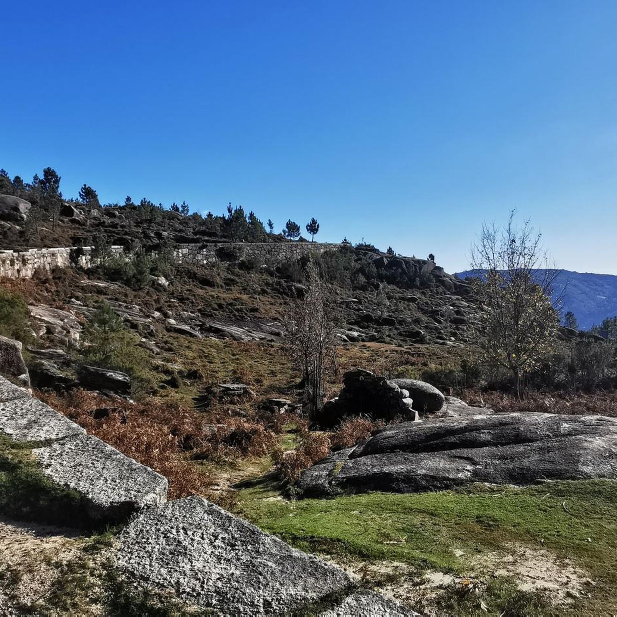
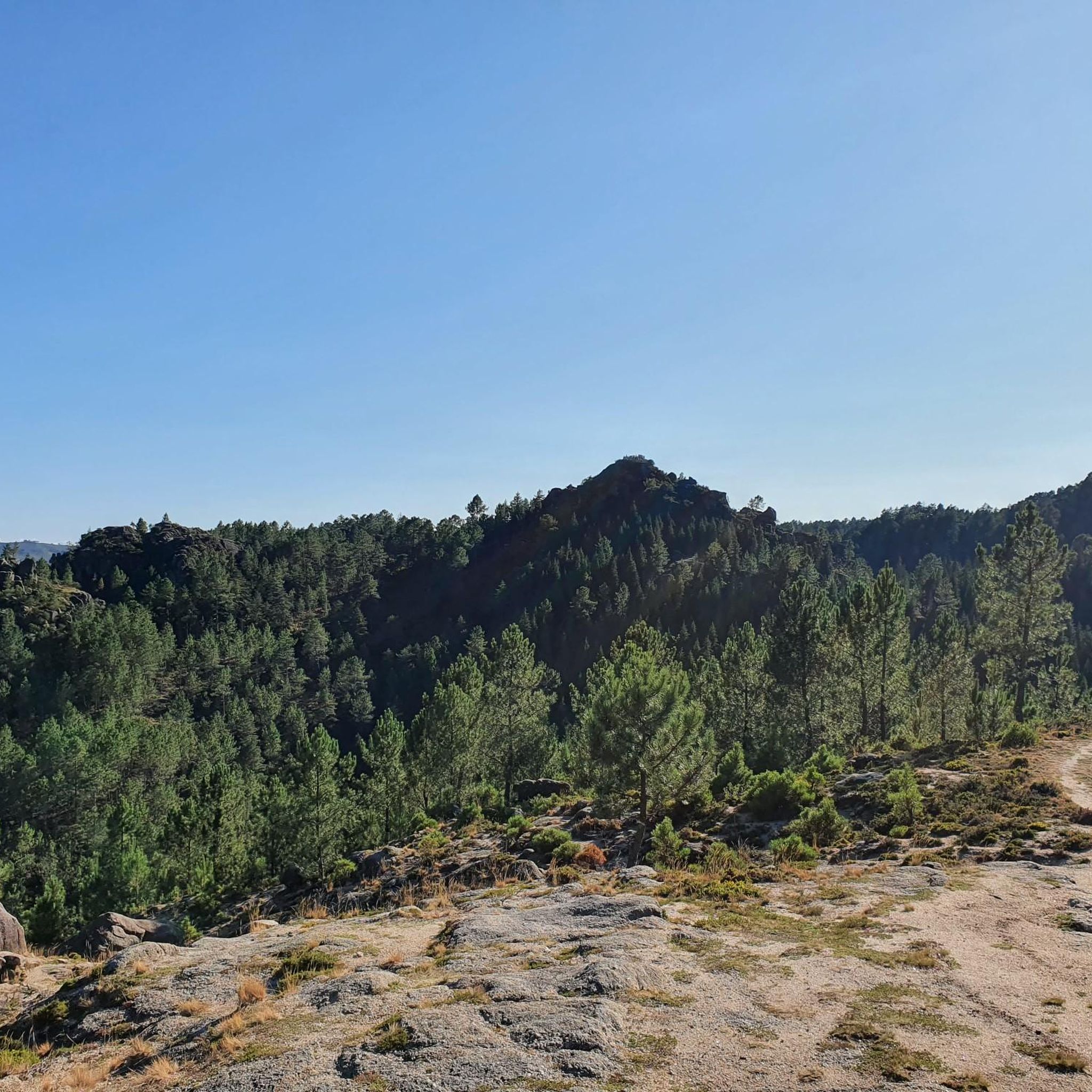
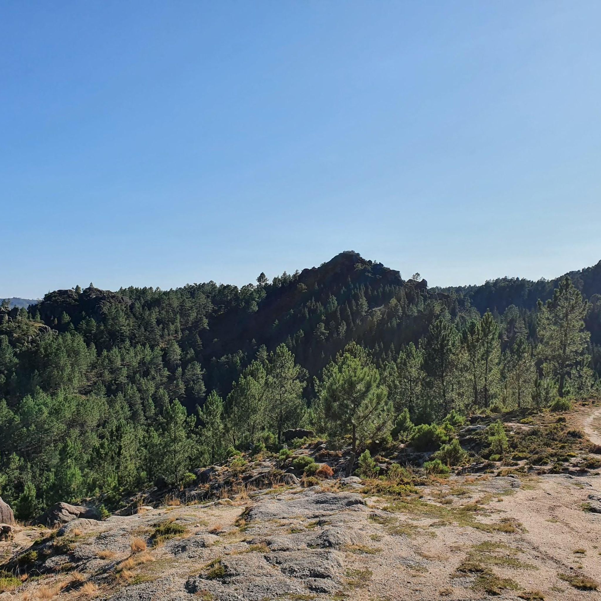
This area is characterized by an unspoiled mountain landscape, typical of the Serra do Gerês and Serra da Cabreira, integral parts of the Peneda-Gerês National Park. The region is known for its wild nature, glacial valleys, mountain pastures and rock formations, elements that contribute to its biodiversity and landscape value.
0
0
This is a church that reflects the traditional architecture of the region, often characterized by simple but robust elements, in line with the surrounding rural environment.
0
0

Dam with a fantastic view, and also provides quick access to both banks...
0
0

Known for their hot waters and therapeutic properties, the waters emerge at a temperature of around 77ºC, although the thermal pools are regulated to offer bathing at more comfortable temperatures, around 40ºC. These hot springs are rich in minerals such as sodium, calcium and bicarbonate, and are believed to help in the treatment of rheumatic and skin conditions.
0
0
Frequently Asked Questions
How many road cycling routes are available in Ventosa e Ventosa e Ventosa e Cova?
There are over 25 road cycling routes in Ventosa e Ventosa e Ventosa e Cova, offering diverse options for cyclists. The region is particularly known for its challenging terrain, with the majority of routes rated as difficult.
Are there any beginner-friendly road cycling routes in Ventosa e Ventosa e Ventosa e Cova?
The road cycling routes in Ventosa e Ventosa e Ventosa e Cova are generally characterized by significant elevation changes and challenging climbs. While there are no routes classified as 'easy', you can find some 'moderate' options. For example, the Caniçada Reservoir – Caniçada Dam loop from Vieira do Minho is a moderate route that covers 34.5 km.
What are the typical distances and durations for road cycling routes in this area?
Routes vary significantly in length and duration. You can find shorter moderate routes around 30-50 km, taking a few hours, up to much longer and more challenging rides exceeding 130 km, which can take over 7 hours to complete. For instance, the View of the National Park – Igreja de Morgade loop from Rio Caldo is 138.6 km and typically takes over 7 hours.
What kind of scenery can I expect while road cycling in Ventosa e Ventosa e Ventosa e Cova?
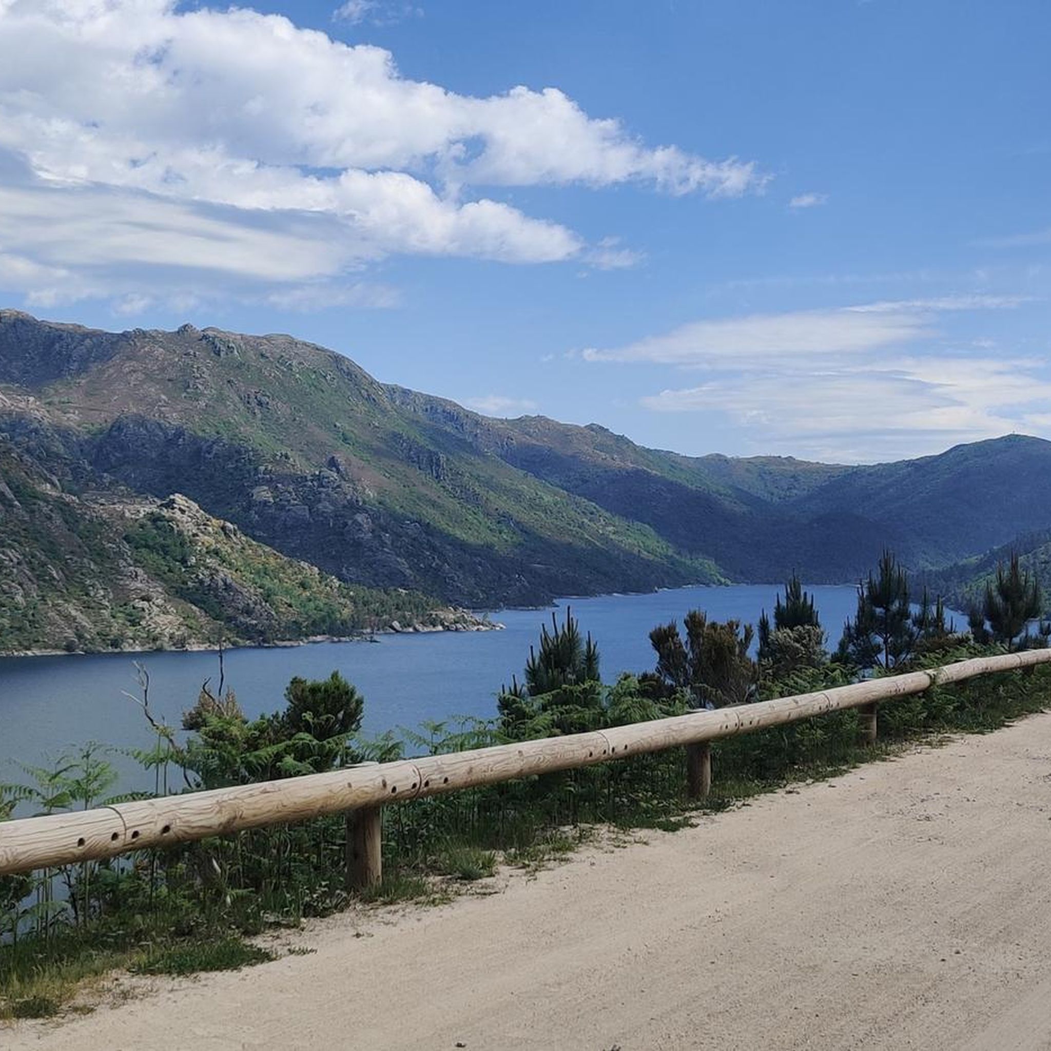
The region offers stunning and varied scenery. You'll encounter routes with panoramic views of reservoirs, such as the Caniçada Dam, and extensive stretches through national park areas. The terrain is predominantly hilly, providing a dynamic backdrop of natural landscapes and occasional cultural landmarks like churches and hot springs.
What do other road cyclists say about the routes in Ventosa e Ventosa e Ventosa e Cova?
The road cycling routes in Ventosa e Ventosa e Ventosa e Cova are highly rated by the komoot community, with an average score of 4.4 stars from over 20 reviews. Cyclists often praise the challenging climbs, the beautiful reservoir views, and the immersive national park scenery.
Are there any notable landmarks or attractions along the road cycling routes?
Yes, many routes pass by or offer views of significant landmarks. You might cycle past the Caniçada Dam, or enjoy views of the Albufeira da Caniçada. Some routes, like the Church of Saint Peter – Valdosende Parish Church loop from Vieira do Minho, connect historical church sites, while others, such as the Río Caldo Hot Springs – Mata da Albergaria loop from Rio Caldo, lead to natural features like hot springs.
Are there any waterfalls accessible near the road cycling routes?
While the road cycling routes themselves focus on paved roads, the region is rich in natural beauty, including waterfalls. Some routes offer views of areas where waterfalls are present. For example, the View of the Caniçada Dam – Cascata de Várzeas loop from Vieira do Minho is in an area known for its natural features, and you can find highlights like the Fecha de Barjas Waterfall (Tahiti) or Tahiti Waterfall nearby.
What is the best season for road cycling in Ventosa e Ventosa e Ventosa e Cova?
Given the region's hilly terrain and potential for significant elevation changes, spring and autumn generally offer the most pleasant conditions for road cycling. Temperatures are milder, and the natural scenery is vibrant. Summer can be quite warm, especially on exposed climbs, while winter might bring colder temperatures and increased chances of rain.
Are there any circular road cycling routes available?
Yes, many of the road cycling routes in Ventosa e Ventosa e Ventosa e Cova are designed as loops, allowing you to start and finish at the same point. Examples include the Church of Saint Peter – Valdosende Parish Church loop from Vieira do Minho and the View of the Caniçada Dam – Cascata de Várzeas loop from Vieira do Minho.
Is public transport an option for accessing road cycling routes in Ventosa e Ventosa e Ventosa e Cova?
Accessing the specific starting points of road cycling routes in this rural and mountainous region primarily relies on personal transport. While some larger towns might have limited bus services, direct public transport links to all trailheads are not common. It's advisable to plan your journey with a car or consider local taxi services if you're not starting directly from an accommodation.
Are there any less crowded road cycling options in the area?
While the region is popular, many routes traverse national park areas and less populated roads, offering a sense of tranquility. To find less crowded options, consider exploring routes that venture deeper into the Peneda-Gerês National Park or those that are slightly longer and more challenging, as these tend to attract fewer casual cyclists.
Most popular routes around Ventosa e Ventosa e Ventosa e Cova
Most popular attractions around Ventosa e Ventosa e Ventosa e Cova

Get inspired with the komoot mobile app


Explore more
Browse the best Road cycling routes in other regions.
