The best running trails around Bente
4.7
(7)
743
runners
62
runs
Jogging around Bente offers opportunities to explore the local landscape within the Minho region of Portugal. The area, though small, is characterized by varied terrain, including hills and valleys, as suggested by the elevation profiles of local running routes. These routes often lead through natural settings, providing a mix of moderate and challenging paths for runners.
Best jogging routes around Bente
- The most popular jogging route is Running loop from Bente, a 6.9 miles (11.15 km) trail that takes…
Last updated: June 29, 2026
74
runners
27.1km
03:36
1,040m
1,040m
Hard run. Very good fitness required. Mostly paved surfaces. Suitable for all skill levels.
46
runners
20.0km
02:33
710m
710m
Hard run. Very good fitness required. Mostly paved surfaces. Suitable for all skill levels.

Sign up for free
49
runners
52.6km
06:51
1,690m
1,690m
Hard run. Very good fitness required. Mostly accessible paths. Some sure footedness required.
11
runners
10.7km
01:07
80m
80m
Moderate run. Good fitness required. Mostly paved surfaces. Suitable for all skill levels.
12
runners
12.7km
01:27
150m
150m
Moderate run. Good fitness required. Mostly paved surfaces. Suitable for all skill levels.
Get access to more routes and recommendations from other explorers.
Sign up for free
Already have an account?
Our route recommendations are based on thousands of hikes, rides, and runs completed by other people on komoot.
Start today with a free account
Your next adventure awaits.
Login or Signup


Tips from the Community

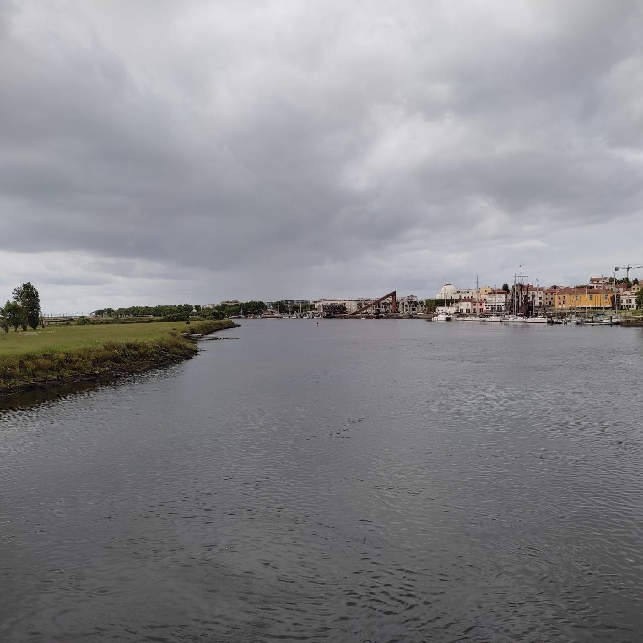
Nearby Tourist Attractions Ave Riverbank Promenade: A riverside walkway, ideal for relaxing strolls. Monte Padrão Hillfort: Ancient ruins for those interested in history and archaeology.
1
0
Highlights and Architecture Main Church: Built between 1659 and 1679, the monastery church is an imposing example of local religious architecture. Cloisters: The monastery has serene cloisters, one of which still displays a Gothic sculpture of the Virgin and Child in one of the corners. Cloister Fountain: In the center of the cloister stands a slender granite fountain with a polylobed basin, dating from 1649. Style: Over the centuries, the monastery has been rebuilt, combining Baroque and Neoclassical elements.
1
0
Opening Hours and Visits The monastery is open for visits, but guided tours of the cloisters and other areas (besides the church) generally require prior booking by telephone with the Santo Tirso City Hall office. General Hours (Church): Daily (Monday to Sunday): 08:00–12:00 and 15:00–19:00. Accessibility: The entrance and parking are wheelchair accessible.
1
0
The Monastery of São Bento, also known as the Monastery of Santo Tirso, is located on the left bank of the Ave River, in the city of Santo Tirso, Portugal. Founded in 978, it belonged to the Benedictine Order and was one of the most powerful monasteries in Portugal. Currently, it is classified as a National Monument.
1
0

Santo Tirso is situated in the heart of the famous Vinho Verde wine region. Every summer, an international guitar festival takes place here.
0
0

Built during the ninth century a. This fortified settlement, located on a spur overlooking the Sanguinhedo River, was likewise occupied during Antiquity and the Middle Ages.
1
0
Frequently Asked Questions
Where is Bente located, and what is the general terrain like for running?
Bente is a small civil parish located within the municipality of Vila Nova de Famalicão, in the Minho region of northern Portugal. The area is characterized by varied terrain, including local hills and valleys, offering a mix of natural paths for runners. While not a large outdoor destination, it provides opportunities to explore the local landscape.
How many running routes are available around Bente?
There are over 60 running routes available around Bente. These routes offer a range of experiences, from moderate paths to more challenging trails with significant elevation changes.
Are there any easy or beginner-friendly jogging routes in Bente?
While many routes in the Bente area are classified as difficult due to elevation changes, there are moderate options available. For example, the Running loop from Bente is a moderate 6.9-mile (11.15 km) trail that offers a local perspective on the natural surroundings without extreme difficulty.
Can I find circular running routes in the Bente area?
Yes, many of the running routes around Bente are designed as loops. For instance, the Running loop from Bente is a popular circular option. Other longer loops include the challenging Monte da Senhora da Assunção – Castro do Monte Padrão loop from Santo Tirso.
Are there any waterfalls or natural attractions to see along the running trails?
Yes, some routes incorporate natural features like waterfalls. The Fervença Waterfalls – Castro do Monte Padrão loop from Antiga Estação de Santo Tirso is an example of a challenging route that passes by waterfalls. You can also find the Leça River Waterfalls as a nearby highlight.
What historical or cultural landmarks can I explore near the running routes?
The region around Bente offers several points of interest. You might encounter historical sites like Castro da Ermida or religious buildings such as the Monastery of Saint Benedict, Santo Tirso, which are accessible from some of the longer running routes.
What do other runners say about jogging in Bente?
The running routes in Bente are highly rated by the komoot community, with an average score of 4.8 stars from over 9 reviews. Runners often appreciate the varied terrain, the natural paths, and the opportunities to explore the wider Minho region.
Are there any long-distance running options for experienced runners?
Absolutely. For experienced runners seeking a challenge, routes like the Fervença Waterfalls – Castro do Monte Padrão loop from Antiga Estação de Santo Tirso offer a significant distance of 32.7 miles (52.65 km) with substantial elevation gain, making for a demanding and rewarding run.
Can I combine running with cycling in the area?
Yes, the region around Bente features dedicated cycle paths that can be used for running or combined with cycling. Notable options include the Famalicão–Póvoa de Varzim Cycle Path and the Póvoa de Varzim–Vila Nova de Famalicão Cycle Path.
What is the best time of year for running in the Minho region of Portugal?
The Minho region generally experiences mild winters and warm summers. Spring and autumn are often ideal for running, offering pleasant temperatures and lush scenery. Summers can be warm, so early morning or late evening runs are recommended during peak heat.
Are the running trails around Bente well-marked?
While specific marking can vary by trail, komoot users often find the paths navigable. Using the komoot app for navigation is recommended to ensure you stay on track, especially on less-trafficked natural paths.
Most popular routes around Bente
Most popular attractions around Bente

Get inspired with the komoot mobile app


Explore more
Browse the best Running Trails & Routes in other regions.
