The best walks and hikes around Gebenstorf
4.7
(254)
1,037
hikers
28
hikes
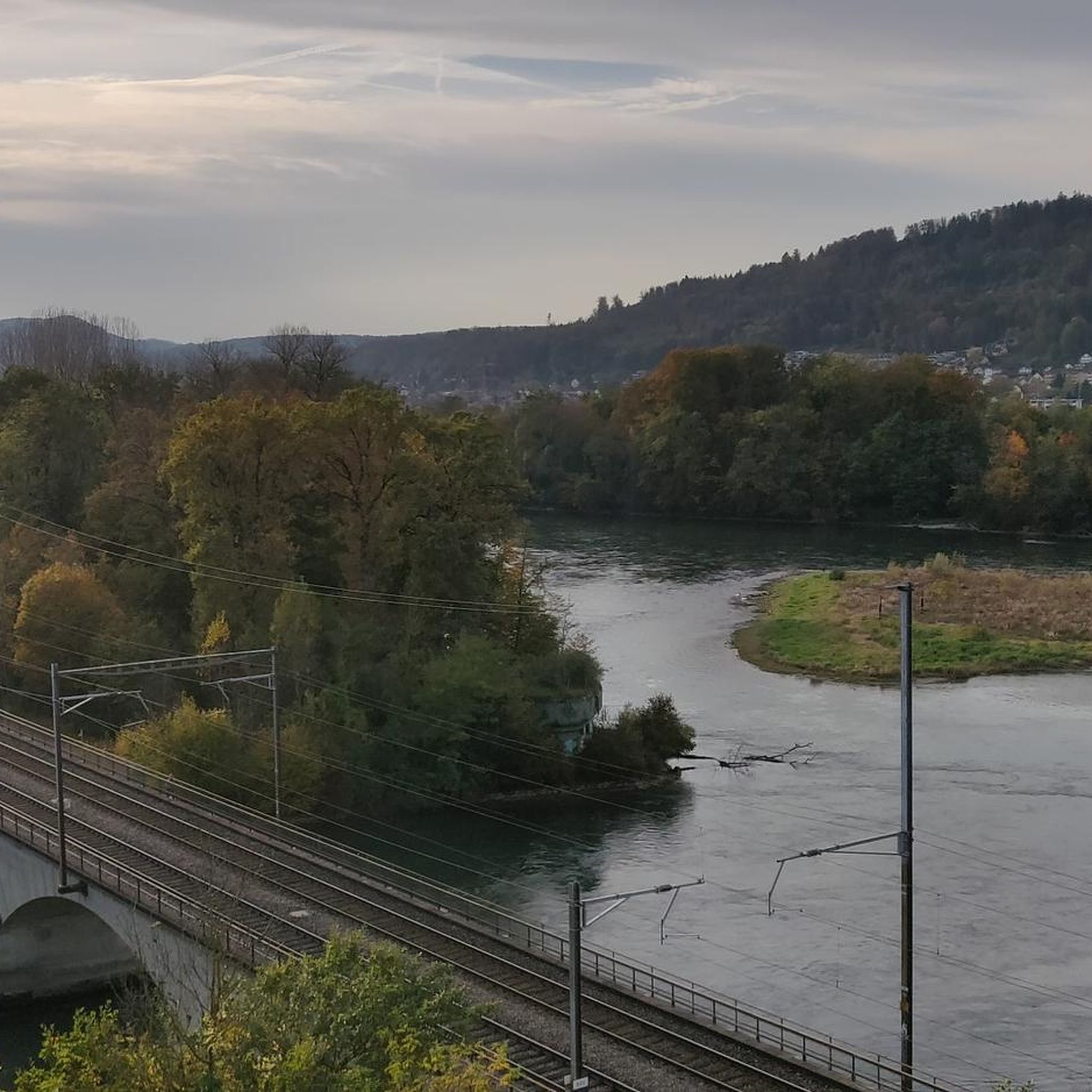
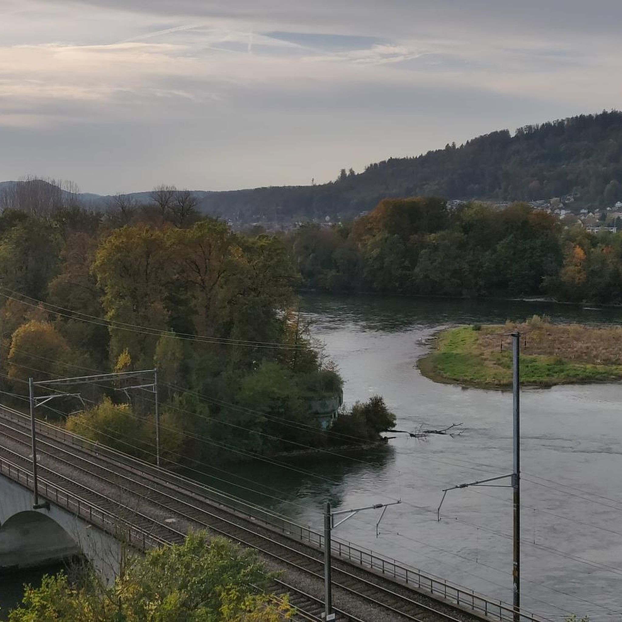
Hiking around Gebenstorf, located in the Swiss canton of Aargau, offers a variety of routes primarily along river valleys. The landscape is characterized by the confluence of the Aare and Reuss rivers, providing flat riverside paths and gentle ascents to local viewpoints. The region features a mix of open fields, forested sections, and historical bridges.
Best hiking trails around Gebenstorf
- The most popular hiking route is View of Brugg from the Alpenzeiger viewpoint – Stranglibrücke loop from Turgi, a…
Last updated: May 15, 2026
4.3
(12)
79
hikers
Moderate hike. Good fitness required. Mostly accessible paths. Sure-footedness required.
4.4
(15)
59
hikers
Easy hike. Great for any fitness level. Easily-accessible paths. Suitable for all skill levels.

Sign up for free
4.3
(17)
76
hikers
7.47km
01:55
30m
30m
Easy hike. Great for any fitness level. Easily-accessible paths. Suitable for all skill levels.
4.8
(14)
76
hikers
4.88km
01:16
40m
40m
Easy hike. Great for any fitness level. Easily-accessible paths. Suitable for all skill levels.
4.5
(2)
10
hikers
7.72km
02:00
50m
50m
Moderate hike. Good fitness required. Easily-accessible paths. Suitable for all skill levels.
Get access to more routes and recommendations from other explorers.
Sign up for free
Already have an account?
Our route recommendations are based on thousands of hikes, rides, and runs completed by other people on komoot.
Start today with a free account
Your next adventure awaits.
Login or Signup

Tips from the Community

Beautiful birdsong and the rushing of the Reuss
0
0

wonderful here, simply magical. is worth a visit.
1
0
very great tour again and again
1
0
rewarding tour in beautiful scenery.
1
0
Frequently Asked Questions
How many hiking trails are available around Gebenstorf?
There are nearly 30 hiking routes around Gebenstorf, offering a diverse range of experiences. The area is particularly known for its riverside paths along the Aare and Reuss rivers, as well as gentle ascents to local viewpoints.
Are there easy hiking trails suitable for beginners or casual walkers in Gebenstorf?
Yes, Gebenstorf offers many easy hiking trails. Out of the nearly 30 routes, 21 are classified as easy, making them perfect for beginners, families, or those looking for a relaxed stroll. An example is the Aare Riverside in Aargau – Aare Riverside Path loop from Gebenstorf, which is an easy 3.4-mile (5.5 km) path.
Can I find circular hiking routes in Gebenstorf?
Yes, many of the hiking routes around Gebenstorf are circular, allowing you to start and end at the same point. Popular loop trails include the View of Brugg from the Alpenzeiger viewpoint – Stranglibrücke loop from Turgi and the Pipe Bridge – Stranglibrücke loop from Turgi.
Are the hiking trails in Gebenstorf suitable for families with children?
Gebenstorf is well-suited for family hikes, especially with its numerous easy and flat riverside paths. The gentle terrain along the Aare and Reuss rivers provides safe and enjoyable options for all ages. Routes like the Aare Riverside in Aargau – Aare Riverside Path loop from Gebenstorf are particularly family-friendly.
Are dogs allowed on the hiking trails around Gebenstorf?
Yes, dogs are generally welcome on the hiking trails around Gebenstorf. It's always recommended to keep your dog on a leash, especially in nature reserves, agricultural areas, or near livestock, and to clean up after them. The riverside paths offer pleasant walks for both you and your canine companion.
What kind of natural attractions or landmarks can I see while hiking near Gebenstorf?
While hiking near Gebenstorf, you can explore various natural and historical points of interest. The region is known for its river confluences and historical bridges. You might also discover nearby caves such as the Brother's Cave or the Walhalla Cave and Picnic Area. Additionally, there are several small lakes and ponds in the vicinity, including Small Pond and Löli Pond.
What is the best time of year to go hiking in Gebenstorf?
The hiking trails around Gebenstorf are enjoyable throughout much of the year. Spring and autumn offer pleasant temperatures and beautiful scenery, with blooming flowers or vibrant fall foliage. Summer is also popular, especially for riverside walks. Even in winter, many of the flatter paths along the rivers can be suitable for a refreshing walk, provided conditions are safe.
Are there any hikes with good views in Gebenstorf?
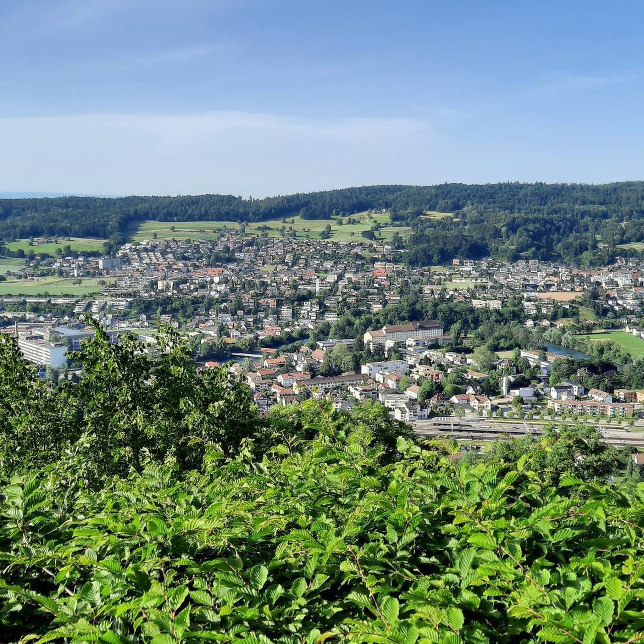
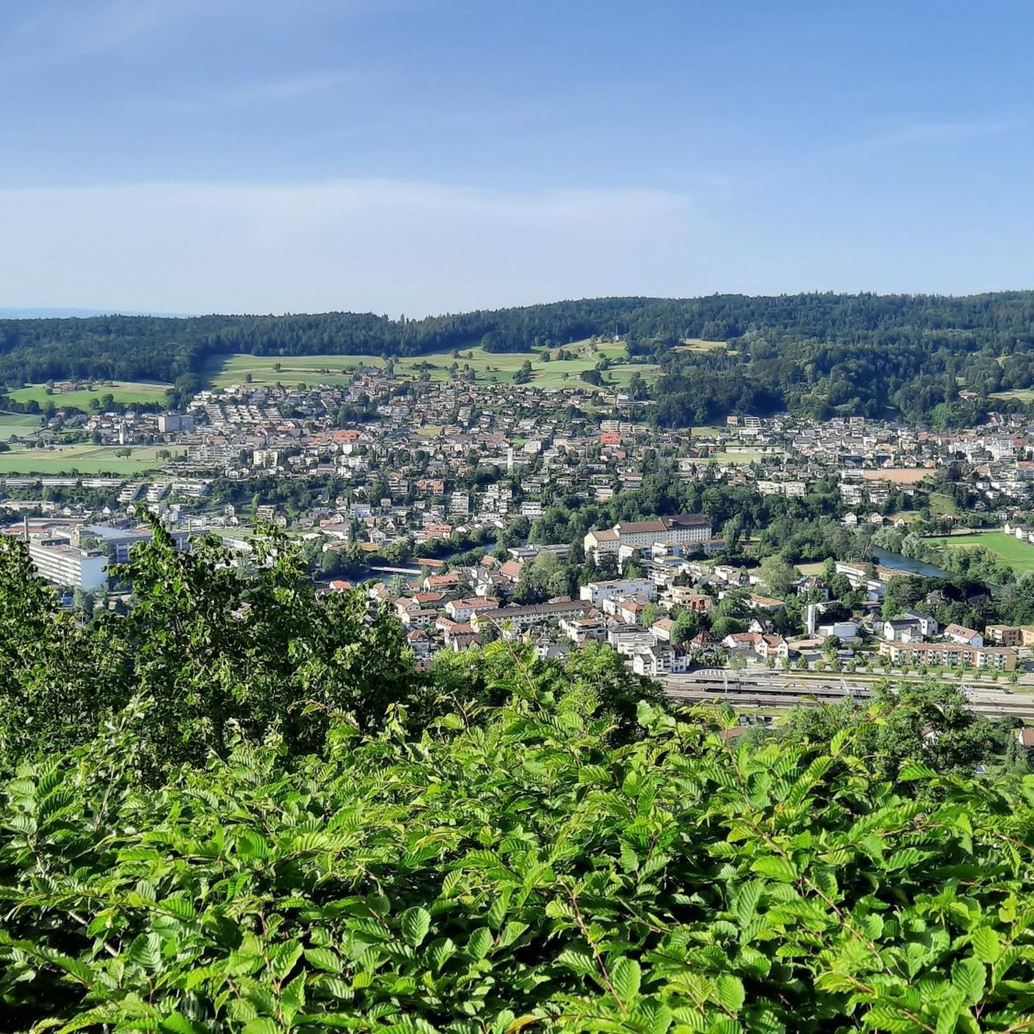
Yes, Gebenstorf offers hikes with scenic viewpoints, particularly those that ascend slightly from the river valleys. The View of Brugg from the Alpenzeiger viewpoint – Stranglibrücke loop from Turgi is specifically highlighted for its views over Brugg and the Aare river.
How long do hikes near Gebenstorf typically take?
Hikes near Gebenstorf vary in duration depending on the route and your pace. Easy trails like the Along the Reuss – Reuss Weir in Windisch loop from Turgi can be completed in under 1.5 hours, while moderate routes such as the Stranglibrücke – Brugg Old Town loop from Turgi might take around 2 hours. Longer routes can extend to 3 hours or more.
What do other hikers enjoy most about the trails in Gebenstorf?
The hiking trails in Gebenstorf are highly regarded by the komoot community, with an average rating of 4.7 stars from around 250 reviews. Hikers frequently praise the diverse landscape, which includes peaceful riverside paths, open fields, and forested sections. The well-maintained trails and the opportunity to explore historical bridges and local viewpoints are also often highlighted.
Are there options for winter hiking in Gebenstorf?
While Gebenstorf is not known for alpine winter sports, many of its flatter riverside paths remain accessible and enjoyable for winter hiking, especially on clear, crisp days. Always check local conditions and weather forecasts before heading out, as some paths might be slippery or covered in snow or ice.
Where can I find parking for hiking trails in Gebenstorf?
Parking availability varies by trailhead. For routes starting in or near towns like Gebenstorf or Turgi, you can often find public parking lots. It's advisable to check specific route details on komoot or local signage for the most convenient parking options near your chosen starting point.
Most popular routes around Gebenstorf
Most popular attractions around Gebenstorf

Get inspired with the komoot mobile app


Explore more
Browse the best Hikes in other regions.
