The best MTB trails around Godinhaços
4.8
(24)
311
riders
17
rides
Mountain biking around Godinhaços offers varied terrain within the municipality of Vila Verde, Portugal. The region is characterized by its hilly landscapes, including the Serra de Oural, which provides opportunities for climbs and descents. Godinhaços is also the source of the Neiva River, contributing to diverse topographical variations suitable for mountain bike trails. This area presents a natural setting for mountain biking, with routes ranging from moderate to challenging.
Best mountain bike trails around Godinhaços
- The most popular mountain bike…
Last updated: July 2, 2026
4.6
(7)
49
riders
40.4km
02:49
300m
300m
Moderate mountain bike ride. Good fitness required. Suitable for all skill levels.
5.0
(1)
11
riders
43.0km
04:08
1,230m
1,230m
Hard mountain bike ride. Very good fitness required. Suitable for all skill levels.

Sign up for free
9
riders
32.6km
03:09
950m
950m
Hard mountain bike ride. Very good fitness required. Suitable for all skill levels.
6
riders
51.3km
03:24
800m
800m
Moderate mountain bike ride. Good fitness required. Suitable for all skill levels.
4
riders
53.5km
05:06
1,500m
1,500m
Hard mountain bike ride. Very good fitness required. Advanced riding skills necessary.
Get access to more routes and recommendations from other explorers.
Sign up for free
Already have an account?
Our route recommendations are based on thousands of hikes, rides, and runs completed by other people on komoot.
Start today with a free account
Your next adventure awaits.
Login or Signup


Tips from the Community

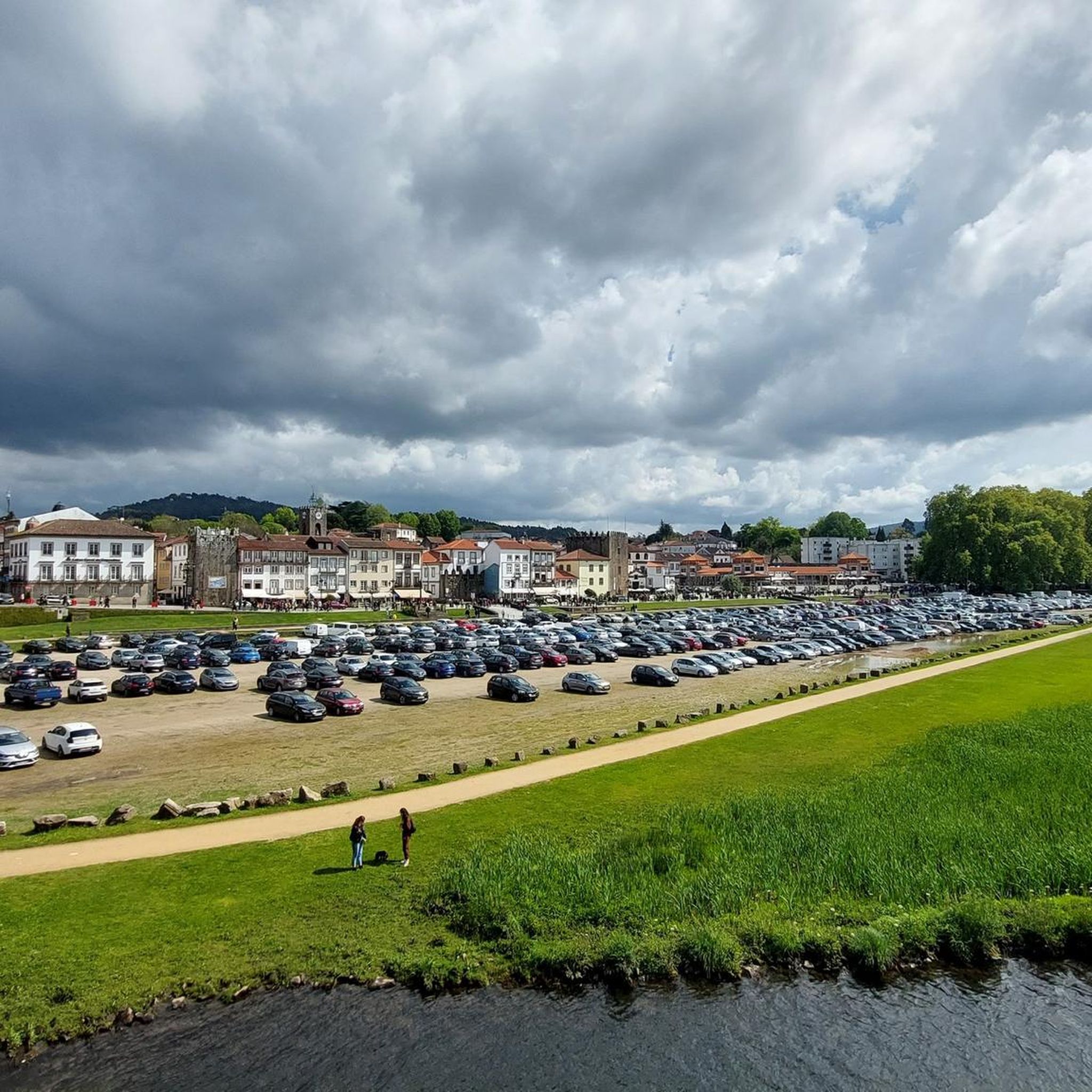
734m altitude. Also known as Pico do Barrete. It is located 15 km from the municipal seat of Vila Verde. This mountain is home to the source of the Vade River and some prehistoric archaeological sites. The highest point of this mountain is at Penedos Mourinhos, a natural viewpoint overlooking the Baixo Minho and the Homem River valley. The PR2 - Fojo do Lobo Trail (VVD) passes through this location. Near this viewpoint is a lookout post and a paragliding launch site.
1
0

beautiful view, enjoy and visit the Chapel
0
0

top zone. Take advantage and go up the plateau to Brufe.
1
0
excellent area for mountain biking
1
0

Rui, if possible add a photo to this highlight, this is one of those that deserves it.
1
0
... several trails along the slopes of the Santa Isabel mountain range and the Abadia mountain.
1
0

Difficulty S0-S1, duable for most MTB enthusiasts.
0
0
If you like swinging, this is your chance!
0
0
Frequently Asked Questions
How many mountain bike trails are available around Godinhaços?
There are 17 mountain bike trails around Godinhaços, offering a range of experiences from moderate to difficult. These routes are highly rated by the komoot community, with an average score of 4.6 stars.
What kind of terrain can I expect when mountain biking in Godinhaços?
Godinhaços is characterized by its hilly landscapes, including the prominent Serra de Oural. You'll encounter varied terrain with opportunities for climbs and descents, as well as sections along river valleys, as the Neiva River originates here. Trails can feature surfaces like soft sand and gravel, providing a diverse riding experience.
Are there mountain bike trails suitable for beginners in Godinhaços?
While the region is known for its hilly and challenging terrain, there are 11 moderate trails available. These routes offer a good balance for those with some mountain biking experience looking for an enjoyable ride without extreme difficulty.
What are some of the more challenging mountain bike routes in the area?
For experienced riders seeking a challenge, there are 6 difficult trails around Godinhaços. One such route is the São Julião Descent – Fojo do Lobo de Gondomar loop from Ponte, which features significant elevation changes and demanding descents over its 26.7 miles (43.0 km).
Are there any circular mountain bike routes in Godinhaços?
Yes, many of the mountain bike routes around Godinhaços are circular. For example, the Riverside Path – Padim Swing loop from Vila Verde is a popular 25.2 miles (40.6 km) moderate trail that follows scenic river sections, and the São Julião Descent loop from Ponte is a 20.3 miles (32.6 km) difficult route through hilly terrain.
What can I see along the mountain bike trails around Godinhaços?
Beyond the natural beauty of the Serra de Oural and river valleys, you can explore several points of interest. Notable attractions include the Ecovia of the Lima River: Ponte de Barca, the Lima River Ecotrail, and the Eucalyptus of Moure. The Serra de Oural itself also hosts a megalithic monument and ancient rock art.
What is the best time of year for mountain biking in Godinhaços?
Portugal is generally recognized for its varied terrain suitable for mountain biking year-round. However, for the most comfortable experience, spring and autumn offer milder temperatures. Summer can be warm, while winter might bring cooler, potentially wetter conditions, especially in the hilly areas.
Is Godinhaços accessible by public transport for mountain bikers?
Godinhaços is a locality within the municipality of Vila Verde. While specific public transport links directly to trailheads might be limited, the broader Vila Verde area is generally accessible. It's advisable to check local bus schedules or consider transport options from larger nearby towns like Braga for reaching the region.
Are there any cafes or places to eat near the mountain bike trails?
Godinhaços is a smaller locality, but the wider Vila Verde municipality offers various amenities. You can find cafes and restaurants in Vila Verde town and other villages in the area, which are typically a short drive from many trail access points. It's a good idea to plan your route to pass through or near these villages for refreshment stops.
What do other mountain bikers enjoy most about mountain biking in Godinhaços?
The area is highly rated by the komoot community, with an average score of 4.6 stars from over 24 reviews. Mountain bikers often praise the varied terrain, the opportunities for both challenging climbs and scenic descents, and the natural beauty of the Serra de Oural and river valleys. The diverse network of trails caters to different skill levels, making it appealing to a broad range of riders.
What is the longest mountain bike trail available around Godinhaços?
The longest mountain bike trail in the area is the Alto de Santa Isabel – Baloiço do Urjal loop from Loureira. This difficult route spans 61.8 km (38.4 miles) and involves significant elevation changes, making it a substantial ride for experienced mountain bikers.
Most popular routes around Godinhaços
Most popular attractions around Godinhaços

Get inspired with the komoot mobile app


Explore more
Browse the best MTB trails in other regions.
