The best road cycling routes around Rio Mau
3.9
(41)
989
riders
11
rides
Road cycling around Rio Mau features a network of routes characterized by varied terrain, including significant elevation gains and descents. The region's landscape often incorporates river valleys, such as those along the Vez River and Ecovia do Rio Este, alongside routes connecting local landmarks and villages. Road cyclists can expect undulating paths with climbs ranging from moderate to challenging.
Best road cycling routes around Rio Mau
- The most popular road cycling route is Turiz Church – Igreja de Lage loop…
Last updated: July 4, 2026
18
riders
65.4km
03:06
750m
750m
Moderate road ride. Good fitness required. Some segments of this route may be unpaved and difficult to ride.
4.3
(11)
11
riders
28.3km
01:19
320m
320m
Moderate road ride. Good fitness required. Mostly well-paved surfaces and easy to ride.

Sign up for free
12
riders
73.4km
03:32
1,020m
1,020m
Hard road ride. Very good fitness required. Mostly well-paved surfaces and easy to ride.
11
riders
49.2km
02:22
550m
550m
Moderate road ride. Good fitness required. Mostly well-paved surfaces and easy to ride.
14
riders
41.1km
02:03
580m
580m
Moderate road ride. Good fitness required. Mostly well-paved surfaces and easy to ride.
Get access to more routes and recommendations from other explorers.
Sign up for free
Already have an account?
Our route recommendations are based on thousands of hikes, rides, and runs completed by other people on komoot.
Start today with a free account
Your next adventure awaits.
Login or Signup
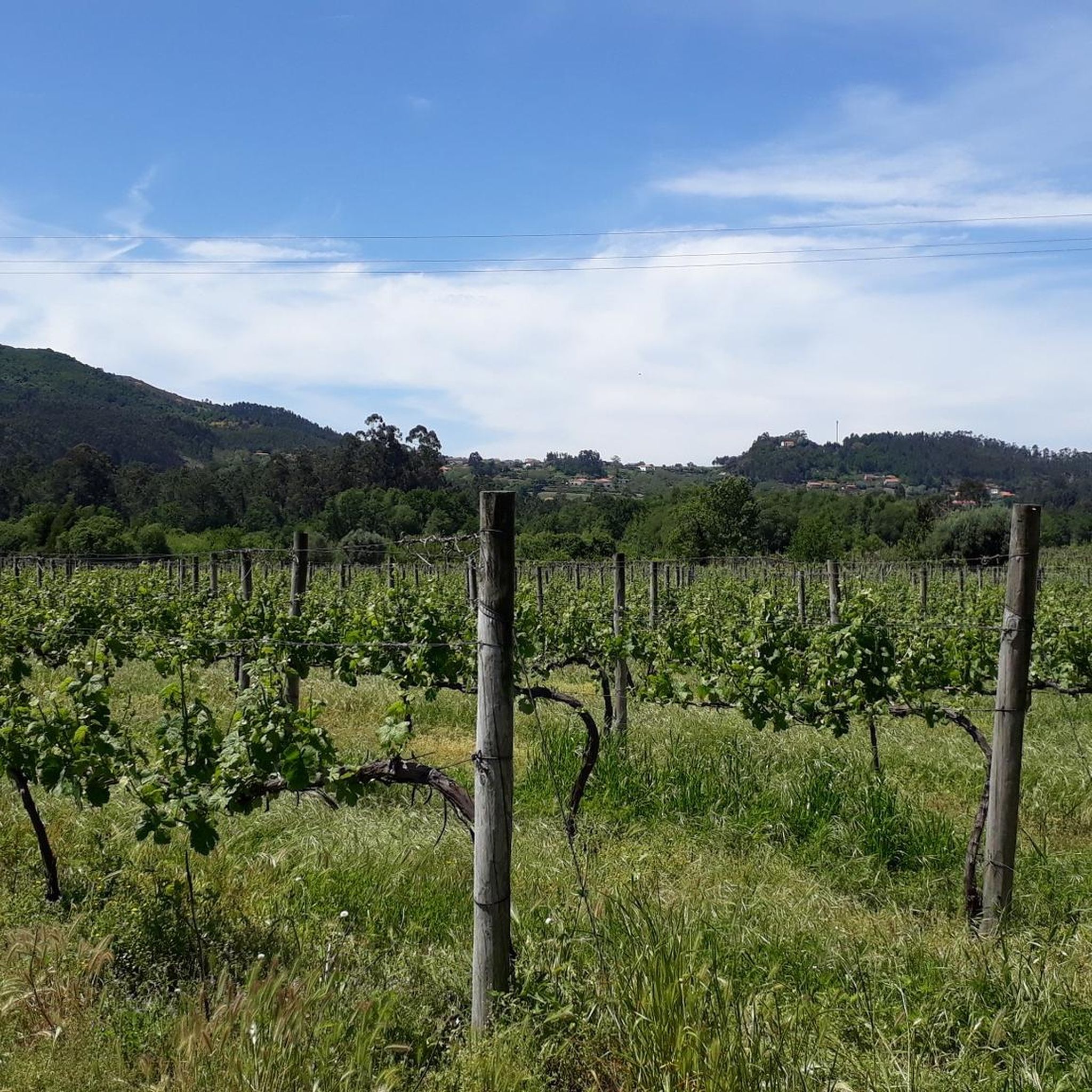
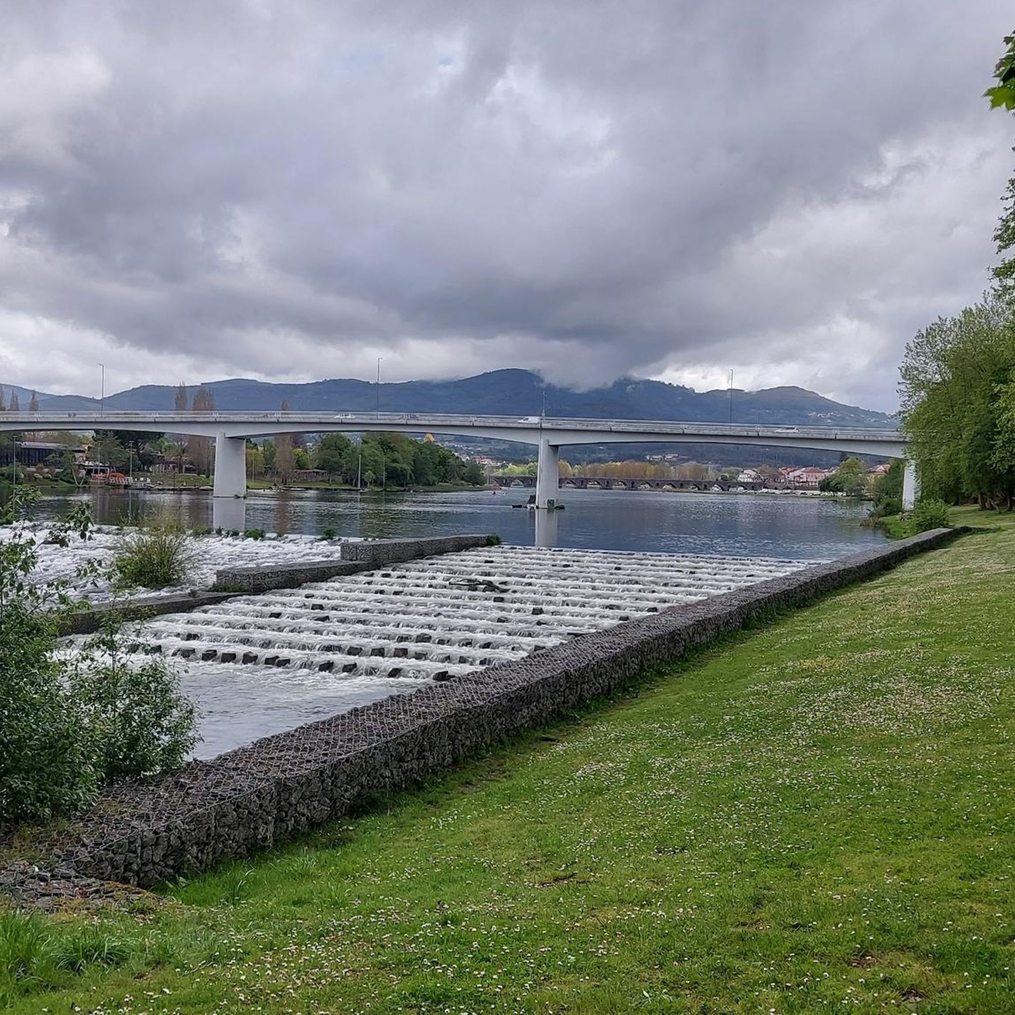
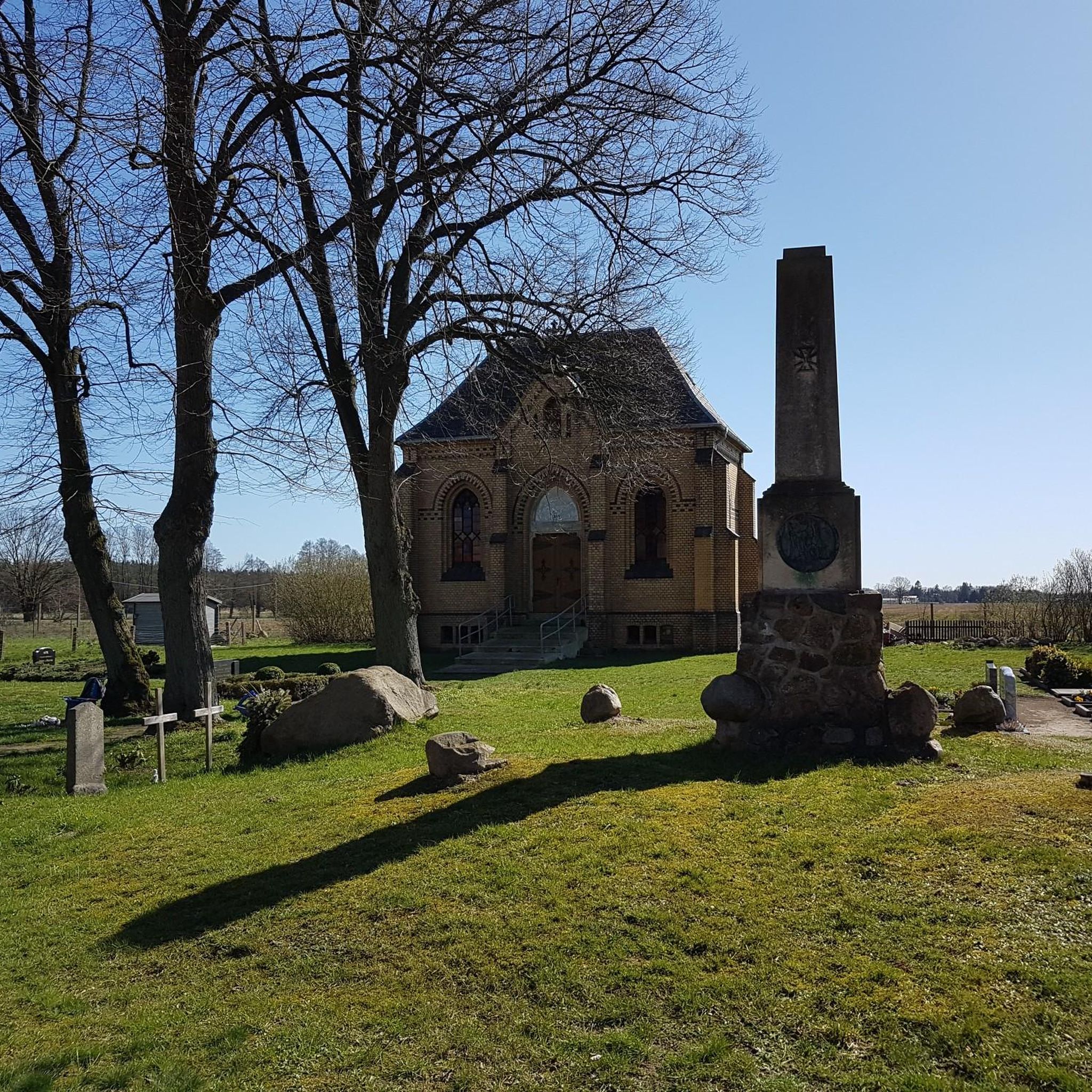
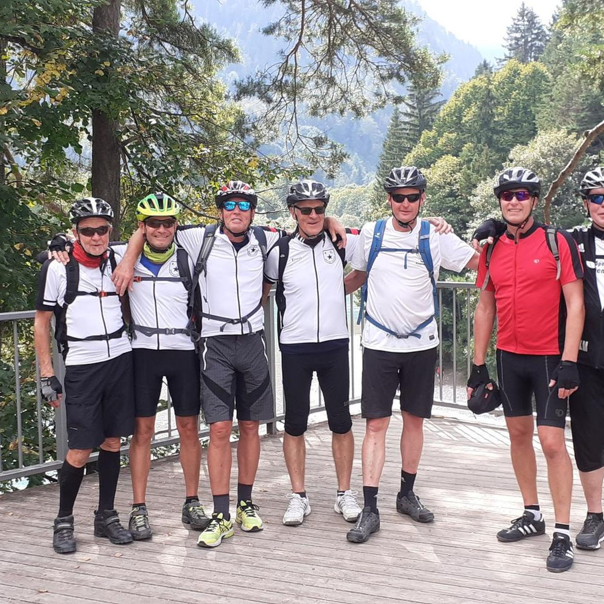
Tips from the Community


Historical Context Origin of the name: The town of Ponte de Lima, the oldest in Portugal, derives its name from the bridge that crosses it. Way of St. James: The bridge is an important crossing point on the Portuguese Way of St. James. Legend: The legend of the Lima River, which runs under the bridge, tells that the Romans believed it to be the river of forgetfulness, which would have given rise to the myth that people who crossed it would forget their past lives.
2
0
The bridge that gives the Lima Bridge its name is actually a combination of two structures: a Roman section, built in the 1st century, and a medieval section, expanded in the 14th century. It crosses the Lima River and is one of the town's most emblematic monuments. Characteristics of the bridge Roman section: The remaining Roman section consists of five arches, and its construction is linked to the military road that connected the cities of Braga and Astorga. Medieval section: The medieval portion of the bridge is larger and was built to connect to the Roman section, extending the structure over the river. Material: The bridge is built of granite, using the Roman technique of "quadratum" and "vittatum" masonry.
2
0

A city bathed by the Lima River, with walking trails in the area and good food.👍🥾🇵🇹
1
0

The Ponte das Tábuas de Balugães (Bridge of the Tábuas of Balugães) is a discreet jewel on the Portuguese Way to Santiago. It spans the serene Neiva River with an elegant trestle arch and boasts a wealth of history: it was mentioned in documents dating back to 1135, likely still made of wood, as the name suggests. The current stone structure is believed to have emerged around the 16th century. Nearby, a small river beach welcomes locals and travelers from around the world, all with the same goal: to dive in, cool off, and let themselves be carried away by the calm rhythm of the Neiva River's waters.
2
0

The Cathedral of Braga, the oldest archdiocese in Portugal
3
0

The Cathedral of Braga (Portuguese: Sé de Braga) is one of the most important monuments in the city of Braga in the north of Portugal. As the seat of the Archbishop of Braga, it is the oldest cathedral in Portugal and is one of the most important buildings in the country due to its history and artistic significance[1]. It offers a rich mix of architectural and artistic styles.
1
0

The Cathedral of Braga (Portuguese: Sé de Braga) is one of the most important monuments in the city of Braga in the north of Portugal. As the seat of the Archbishop of Braga, it is the oldest cathedral in Portugal and is one of the most important buildings in the country due to its history and artistic significance[1]. It offers a rich mix of architectural and artistic styles.
3
1
Frequently Asked Questions
What kind of terrain can I expect on road cycling routes around Rio Mau?
Road cycling around Rio Mau features varied terrain, including significant elevation gains and descents. You'll encounter undulating paths with climbs ranging from moderate to challenging, often incorporating river valleys like those along the Vez River and Ecovia do Rio Este.
Are there challenging road cycling routes for experienced riders in Rio Mau?
Yes, Rio Mau offers several challenging road cycling routes for experienced riders. For example, the Oleiros Wall – Guia Park loop from Lage is a difficult 44.8-mile (72.0 km) trail with over 3,298 feet (1,005 meters) of ascent.
Are there any easy or beginner-friendly road cycling routes in Rio Mau?
The road cycling routes in Rio Mau are generally characterized by moderate to difficult terrain with notable elevation changes. There are currently no routes specifically classified as 'easy' for beginners, but several are rated 'moderate' which might suit those with some experience.
What is the typical duration for road cycling routes in Rio Mau?
The duration varies depending on the route's length and elevation. For instance, a moderate route like the Chapel of Senhor dos Aflitos – Igreja de Lage loop from Lage (17.6 miles / 28.3 km) takes about 1 hour 19 minutes, while longer, more challenging routes can take over 3 hours, such as the Turiz Church – Igreja de Lage loop from Lage (40.2 miles / 64.7 km) which typically takes 2 hours 58 minutes.
Are most road cycling routes in Rio Mau loop trails?
Many of the popular road cycling routes in Rio Mau are designed as loops, allowing you to start and finish at the same point. Examples include the Turiz Church – Igreja de Lage loop from Lage and the Vez River – Ponte da Barca Bridge loop from Gemieira.
What do other road cyclists enjoy most about road cycling in Rio Mau?
The area is highly rated by the komoot community, with an average score of 4.2 stars from over 36 reviews. Road cyclists often praise the varied terrain, the scenic river valleys, and the routes that connect local points of interest, offering a good mix of challenge and exploration.
Are there any interesting landmarks or attractions along the road cycling routes in Rio Mau?
Yes, the region offers several points of interest. You might encounter historical sites like the Old Jail Tower or the impressive Roman Bridge of Ponte de Lima. Some routes also pass by unique features such as the Pilgrim Altar.
When is the best time of year for road cycling in Rio Mau?
While specific data isn't available, regions with varied terrain like Rio Mau generally offer pleasant cycling conditions during spring and autumn when temperatures are milder. Summer can be warm, especially on climbs, and winter might bring cooler, wetter weather, though cycling is often possible year-round.
Is public transport available to access road cycling routes in Rio Mau?
Information on specific public transport links directly to route starting points is not readily available. It's advisable to check local bus or train schedules for connections to major towns near Rio Mau, from where you might be able to cycle to the route's beginning.
Are there cafes or places to stop for refreshments along the road cycling routes?
While specific cafes are not listed for each route, the routes often connect local villages and towns. It's common to find small cafes or shops in these settlements where you can stop for refreshments. Planning your route with potential stops in mind is recommended.
Are the road cycling routes in Rio Mau suitable for families with children?
Given the prevalence of moderate to difficult routes with significant elevation gains, most road cycling routes in Rio Mau are not typically recommended for families with young children or those seeking very easy, flat rides. Experienced cycling families might find some sections manageable, but caution is advised.
What are some moderate difficulty road cycling routes in Rio Mau?
Rio Mau has several moderate difficulty routes. Besides the Chapel of Senhor dos Aflitos – Igreja de Lage loop from Lage, you could try the Ecovia do Rio Este – Bridge over the Labriosque River loop from Vila Verde, which is 30.3 miles (48.8 km) with 1,765 feet (538 meters) of ascent.
Where can I find parking near the road cycling routes in Rio Mau?
Specific parking information for each route is not provided. However, starting points in towns or villages like Lage, Vila Verde, or Gemieira typically offer public parking options. It's recommended to check local parking availability for your chosen starting location.
Most popular routes around Rio Mau
Most popular attractions around Rio Mau

Get inspired with the komoot mobile app


Explore more
Browse the best Road cycling routes in other regions.
