The best walks and hikes around Sendim e Atenor e Atenor e Atenor
4.4
(44)
220
hikers
11
hikes
Hiking trails around Sendim e Atenor e Atenor e Atenor are primarily located within the Douro International Natural Park, a region characterized by deep river canyons and diverse landscapes. The terrain features dramatic cliffs, known as "arribas," carved by the Douro River, alongside cultivated areas of vineyards, olive groves, and almond orchards. Hikers can explore a mix of ancient forest paths and open areas, with elevations ranging from river level to higher viewpoints. The area offers a variety of routes…
Last updated: July 1, 2026
4.7
(6)
23
hikers
Moderate hike. Good fitness required. Easily-accessible paths. Suitable for all skill levels.
3.8
(4)
24
hikers
6.42km
01:42
60m
60m
Hike the easy 4.0-mile Mirador de las Escaleras Trail for panoramic views of the Duero River in Arribes del Duero Natural Park.

Sign up for free
5.0
(3)
17
hikers
14.2km
04:01
310m
310m
Hike the moderate 8.8-mile São Fagundo Trail (PR 3) in Douro Internacional Natural Park, featuring stunning river views and ancient ruins.
4.8
(4)
14
hikers
Moderate hike. Good fitness required. Easily-accessible paths. Suitable for all skill levels.
4.0
(4)
12
hikers
15.4km
04:38
480m
470m
Hike a moderate 9.5-mile (15.4 km) circular route from Fermoselle, exploring the historic Puente de San Lorenzo in Arribes del Duero Natural
Get access to more routes and recommendations from other explorers.
Sign up for free
Already have an account?
Our route recommendations are based on thousands of hikes, rides, and runs completed by other people on komoot.
Start today with a free account
Your next adventure awaits.
Login or Signup

Tips from the Community

This is a natural backwater of the Tormes River where a small sandy "beach" forms, popular as a local swimming spot. It is located within the Arribes del Tormes/Duero Natural Park, near Fermoselle (Zamora). The water is clear, cool, and refreshing, traditionally used by locals for bathing.
2
0
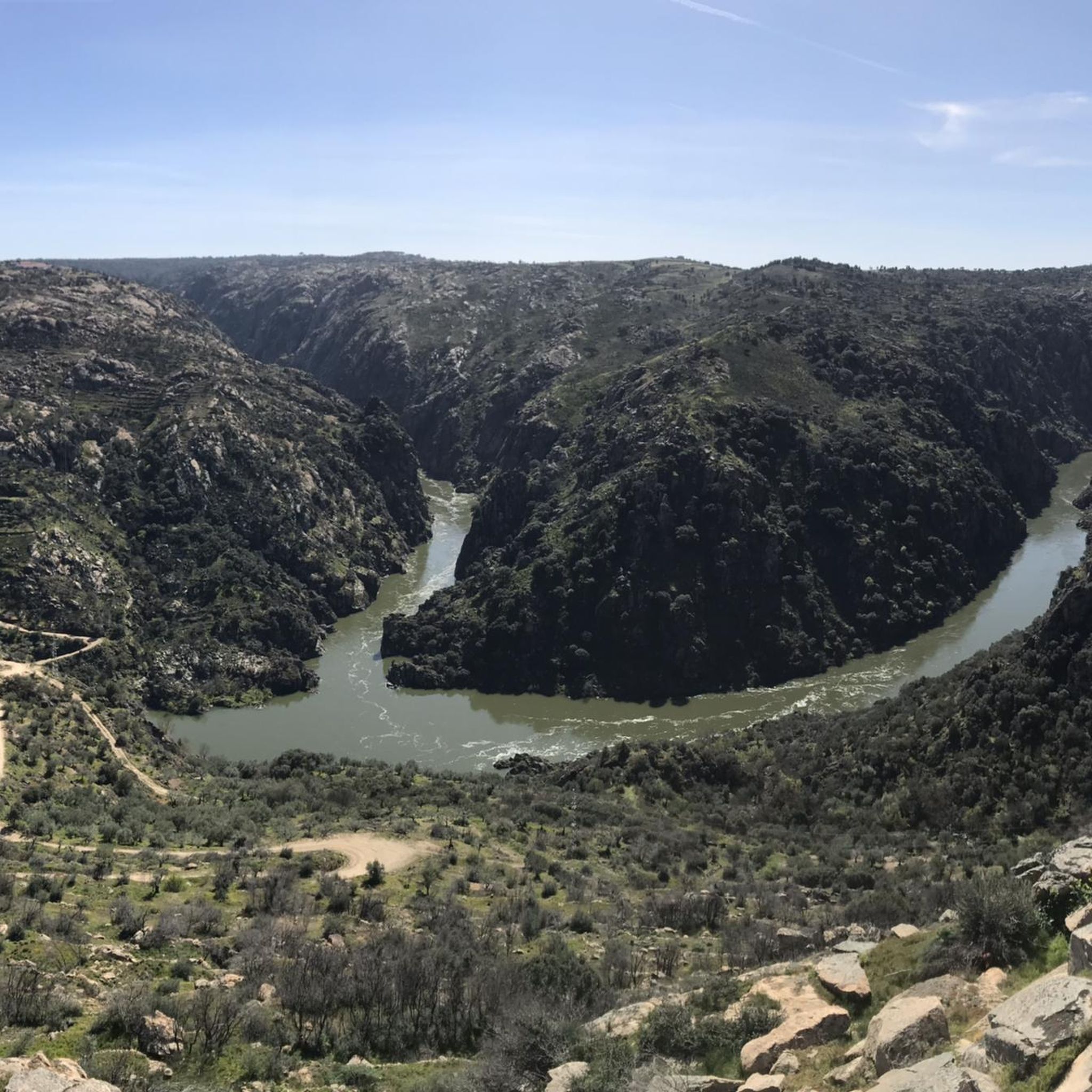
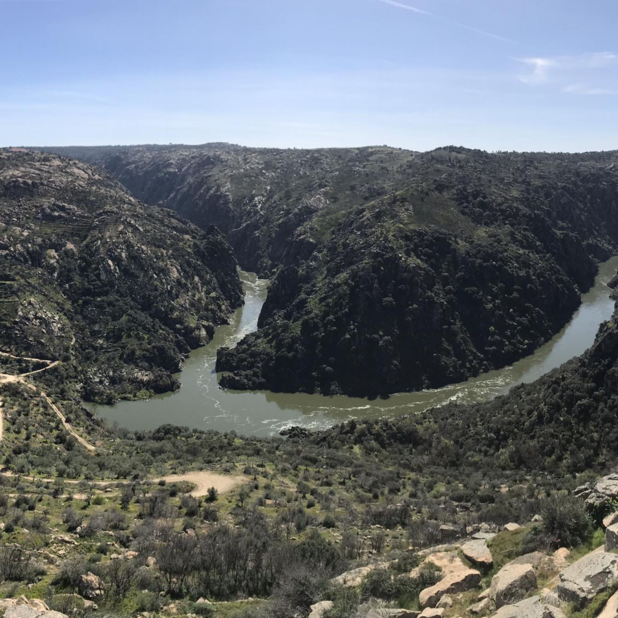
The Miradouro da Cerca, located in the village of Urrós (municipality of Mogadouro, near Miranda do Douro), is one of the most spectacular viewpoints in the Douro International Natural Park and is part of a route that many consider worthy of the title of “Europe’s Grand Canyon.” It offers stunning views of the deep and rugged valley of the Douro River, which marks the natural border between Portugal and Spain.
4
0

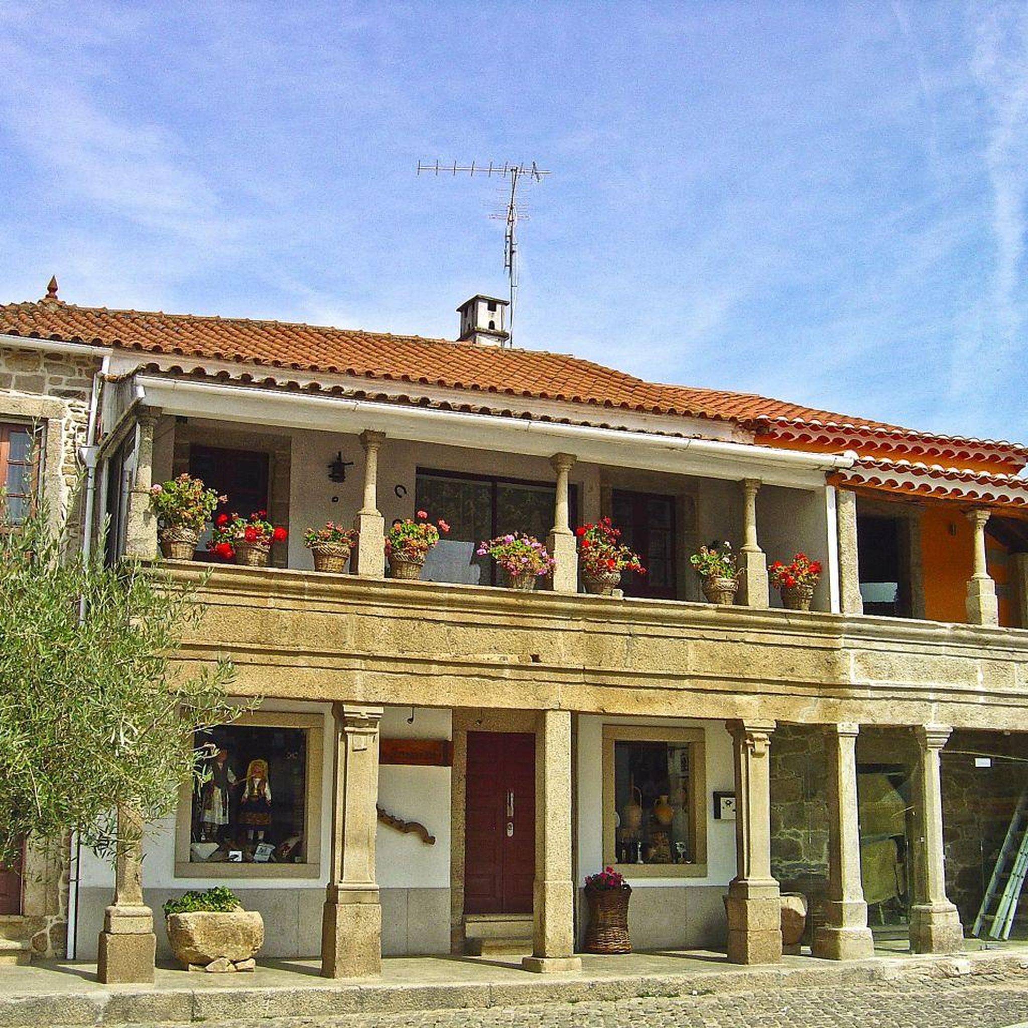
In the village of Bemposta, natural charm blends with the soul of traditions. In the heart of the Douro International Natural Park, this village stands on a promontory with breathtaking views: on one side, the imposing Faia da Água Alta and Faia do Cuco stand out; on the other, the plains of Zamora and Salamanca stretch out to the horizon. And as if the scenery weren’t enough, there’s also the vibrant mask festival, where folklore comes to life in a parade that crosses borders and brings together cultures from various parts of the world.
1
0
Near the village of Urrós, the Cerca Viewpoint awaits you with a breathtaking view. From the top of an imposing rock, you are treated to a dramatic view of the Douro River Gorge, where the steep cliffs form the natural border between the Mirandese Plateau and the Spanish mainland. A magnificent view, impossible to forget!
2
0

Beautiful Landscape to enjoy after a marvelous hiking trail from the waterfall heading to Bemposta
0
0
Beautiful waterfall ( to be better seen in wet season) with a hiking loop (with high steps) around it so it's visible from above and below.
0
0
The Mirador de las Escaleras in Fermoselle offers stunning views of the Duero River canyon. This viewpoint is located approximately one kilometre on foot from the Ermita de Santa Cruz. The route to the viewpoint is quite accessible and runs between almond and olive trees, passing the ruins of an old carabinieri house. From the viewpoint, you can admire the rugged beauty of the landscape, with panoramic views of the Duero River and the vast peneplain. It is a perfect place to enjoy nature and the tranquillity of the surroundings.
5
0
The Ermita de Santa Cruz in Fermoselle is a charming and solitary hermitage located near the border with Portugal. It is located on the outskirts of the town, in a natural setting that mixes vineyards of the “Arribes” designation of origin with olive trees and other plants. The hermitage is an ideal place to spend the day with the family, as it has an esplanade with a fountain, trees and wooden tables. In addition, it is an excellent starting point to access the Mirador de las Escaleras, from where you can enjoy spectacular views over the Arribes del Duero Natural Park.
6
0
Frequently Asked Questions
How many hiking trails are available in Sendim e Atenor?
There are over 10 hiking trails around Sendim e Atenor, offering a variety of experiences within the Douro International Natural Park. These routes are highly rated by the komoot community, with an average score of 4.4 stars from over 40 reviews.
What types of landscapes can I expect on hikes in Sendim e Atenor?
Hikers in Sendim e Atenor will encounter a diverse range of landscapes. The region is famous for its dramatic river canyons, known as 'arribas,' carved by the Douro River, with cliffs reaching up to 350 meters. You'll also walk through cultivated areas of vineyards, olive groves, and almond orchards, as well as ancient forest paths and open woodlands.
What is the general difficulty level of hiking trails in Sendim e Atenor?
The trails in Sendim e Atenor cater to various skill levels. You can find easy walks, such as the Mirador de las Escaleras Trail, which is 4.0 miles long. There are also moderate routes, like the Mirador de la Peña del Cura and mirador del meandro del Duero - circular from Pinilla de Fermoselle, which covers 5.1 miles with some elevation changes.
Are there any notable viewpoints or natural landmarks to see while hiking?
Yes, the region is rich in stunning viewpoints. The São João das Arribas viewpoint is particularly remarkable. You can also visit the Staircase Viewpoint and the Peña del Cura Viewpoint, both offering exceptional vistas of the Douro River and its dramatic cliffs.
Can I find waterfalls on the hiking trails in Sendim e Atenor?
Yes, there is at least one notable waterfall in the area. You can explore the Trilho da Cascata da Faia da Água Alta (PR 4), which leads to the Lastra de Aguas Bravas Waterfall, offering a refreshing natural feature along your hike.
Are there any circular hiking routes available?
Yes, there are circular routes. One popular option is the Mirador de la Peña del Cura and mirador del meandro del Duero - circular from Pinilla de Fermoselle, a moderate 5.1-mile trail that offers continuous scenic views.
When is the best time of year to go hiking in Sendim e Atenor?
The Douro International Natural Park is known for its tranquility and rich biodiversity, making spring and early summer ideal for hiking. During these seasons, you can observe various bird species, including endangered ones, that nest in the gorges, and enjoy the vibrant flora of the region.
Are there any longer, more challenging routes for experienced hikers?
For those seeking a longer excursion, the Tormes Canyons Trail is a moderate 9.5-mile route that takes approximately 4 hours and 38 minutes to complete. It leads through impressive canyon landscapes, offering a more extended hiking experience.
What kind of wildlife might I encounter while hiking?
The Douro International Natural Park is home to a rich array of wildlife. Hikers might spot wild Mirandés donkeys and observe numerous bird species such as golden eagles, griffons, Egyptian vultures, and black storks, especially in the dramatic river gorges.
Can I experience local culture and traditional villages along the trails?
Hiking in Sendim e Atenor offers opportunities for cultural immersion. You can explore traditional villages like Picote, observe agricultural activities such as olive oil and almond production, and experience the unique identity of Sendim, known for the Mirandese language and cultural roots.
What is the highest elevation gain I might encounter on a trail?
Some trails feature significant elevation changes. For example, the Tormes Canyons Trail involves an ascent of approximately 477 meters, providing a good workout and rewarding views.
Are there any trails that focus on the Douro River's meanders?
Yes, the Mirador de la Peña del Cura and mirador del meandro del Duero - circular from Pinilla de Fermoselle trail specifically offers views of the Douro River's distinctive meanders, showcasing the river's winding path through the landscape.
Most popular routes around Sendim e Atenor e Atenor e Atenor
Most popular attractions around Sendim e Atenor e Atenor e Atenor

Get inspired with the komoot mobile app


Explore more
Browse the best Hikes in other regions.
