The best walks and hikes around Gaukönigshofen
4.5
(3617)
13,446
hikers
567
hikes
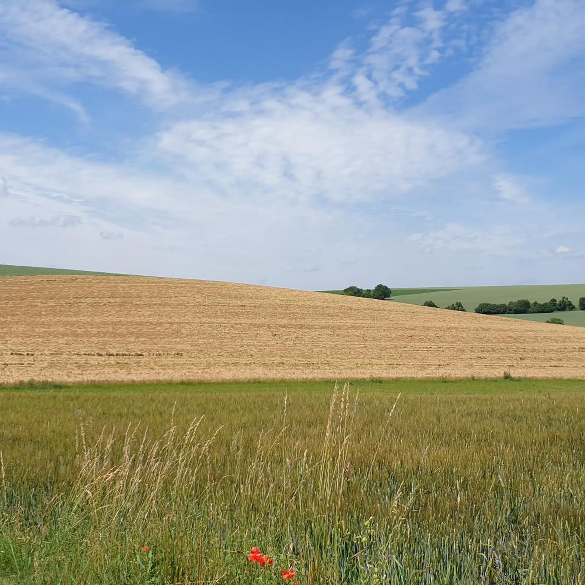
Hiking around Gaukönigshofen offers diverse landscapes at the edge of the Steigerwald forest and within the picturesque Tauber Valley. The region features a mix of woodlands, vineyards, and meadow valleys, providing varied terrain for outdoor activities. Hikers can explore paths winding through oak and beech trees, past bogs, and through lowland meadows, with moderate altitude changes. The area is characterized by its rural charm, including expansive farmlands and the Franconian wine region.
Best hiking trails around Gaukönigshofen
- The most popular hiking route is Schneckenbaum – Stone Fountain with Doves loop from Tückelhausen, a 3.1 miles (5.0 km) trail that takes 1 hour 19 minutes to complete. This easy route explores the local countryside.
- Another top favourite among local hikers is Quarry near Untersteinbach – Hasenleite loop from Tückelhausen, a moderate 5.2 miles (8.4 km) path. This route offers varied terrain, including sections near a quarry and through wooded areas.
- Local hikers also love the Thierbach Trail – Spring catchment in the wild garlic forest loop from Tückelhausen, a 5.3 miles (8.5 km) trail leading through wild garlic forest, often completed in about 2 hours 15 minutes.
- Hiking around Gaukönigshofen is defined by dense woodlands of the Steigerwald, scenic vineyards, and tranquil meadow valleys. The network offers options for easy strolls, moderate paths, and more challenging routes.
- The routes in Gaukönigshofen are highly rated by the komoot community with an average score of 4.6 stars from over 3,200 reviews. More than 14,000 hikers have used komoot to explore Gaukönigshofen's varied terrain.
Last updated: October 4, 2026
4.6
(8)
30
hikers
Easy hike. Great for any fitness level. Easily-accessible paths. Suitable for all skill levels.
5.0
(4)
13
hikers
8.36km
02:16
110m
110m
Moderate hike. Good fitness required. Easily-accessible paths. Suitable for all skill levels.

5.0
(1)
17
hikers
8.54km
02:15
70m
70m
Moderate hike. Good fitness required. Easily-accessible paths. Suitable for all skill levels.
5.0
(1)
4
hikers
Moderate hike. Good fitness required. Easily-accessible paths. Suitable for all skill levels.
4.3
(4)
9
hikers
6.14km
01:43
120m
120m
Easy hike. Great for any fitness level. Easily-accessible paths. Suitable for all skill levels.
Get access to more routes and recommendations from other explorers.
Already have an account?
Our route recommendations are based on thousands of hikes, rides, and runs completed by other people on komoot.
Start today with a free account
Your next adventure awaits.
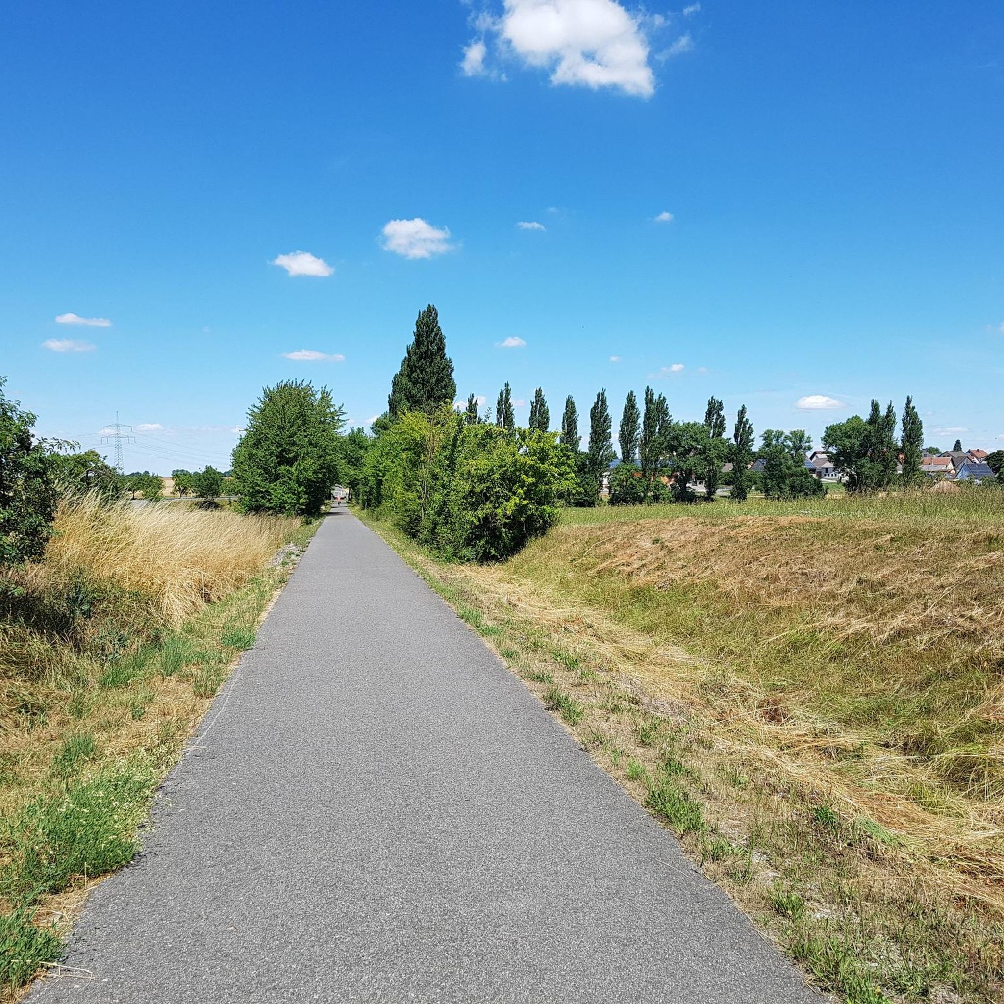
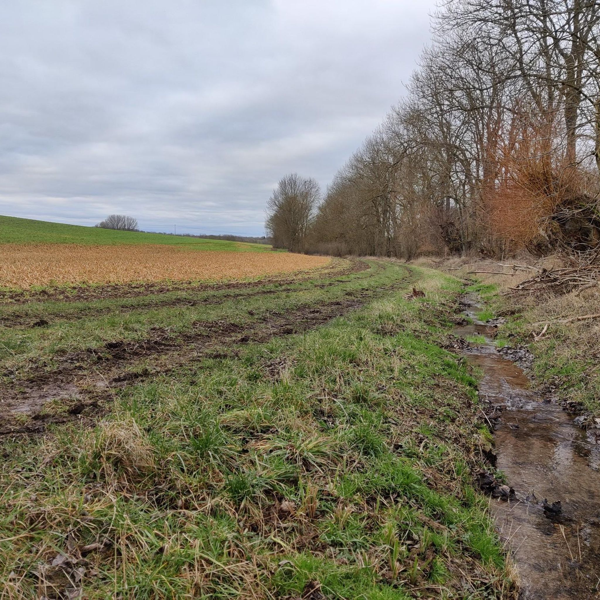
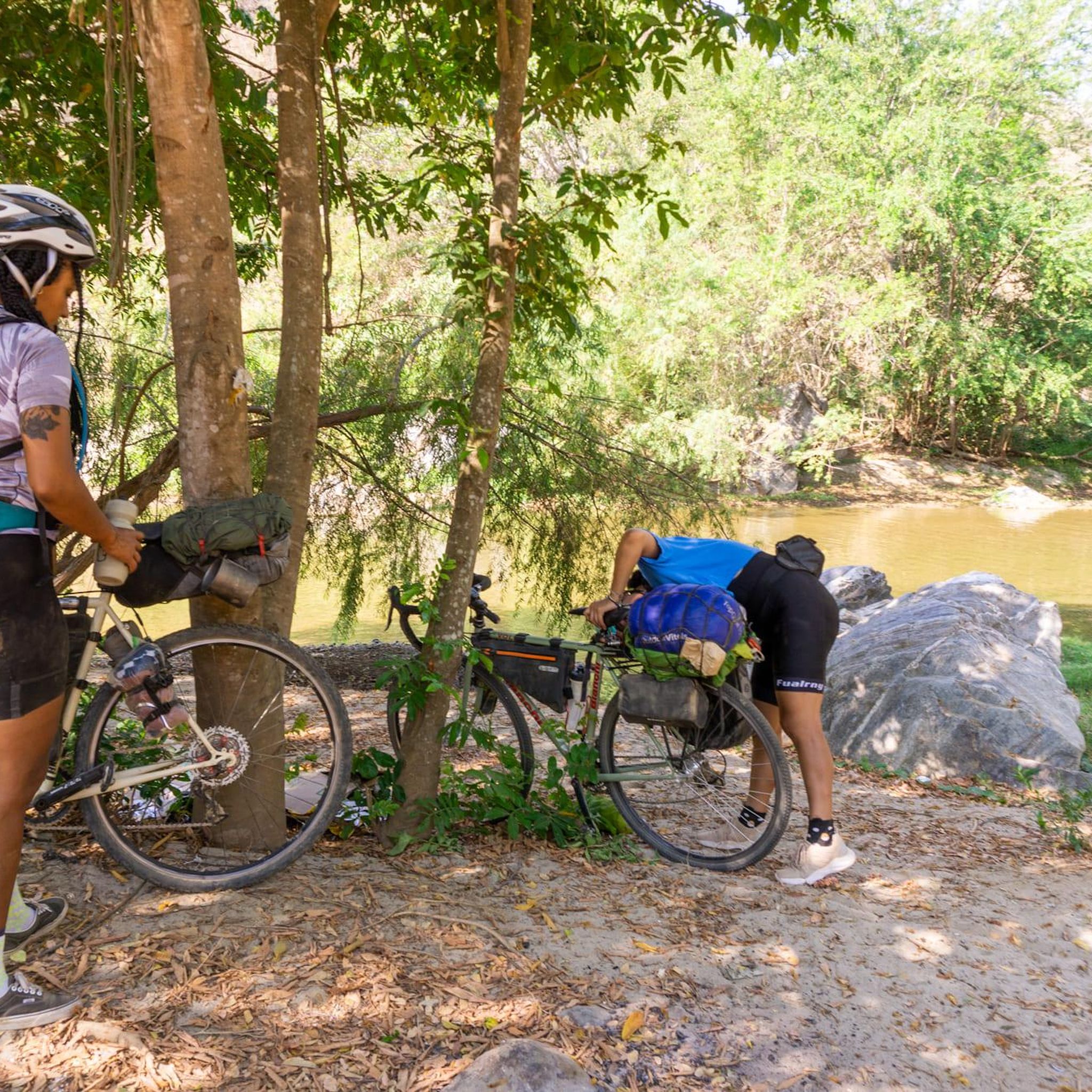
Tips from the Community

Slightly hidden (in summer) old stone bridge
0
0

The Kneipp pool is a bit neglected 😏
1
0
Frequently Asked Questions
How many hiking trails are available around Gaukönigshofen?
There are over 600 hiking routes around Gaukönigshofen, offering a wide variety of experiences. This includes more than 380 easy trails, 200 moderate routes, and a few more challenging options.
Are there easy hiking trails suitable for beginners or leisurely walks?
Yes, Gaukönigshofen offers over 380 easy hiking trails. A great option for a leisurely walk is the Schneckenbaum – Stone Fountain with Doves loop from Tückelhausen, which is 3.1 miles (5.0 km) long and takes about 1 hour 19 minutes to complete.
Can I find circular hiking routes in the Gaukönigshofen area?
Many of the hiking routes around Gaukönigshofen are circular, allowing you to start and end at the same point. For example, the Hohestadter Käppele Chapel loop from Tückelhausen is a moderate 8.1-mile (13.1 km) circular trail.
What kind of natural landscapes can I expect to see while hiking?
Hiking around Gaukönigshofen offers diverse landscapes. You'll find paths winding through the dense woodlands of the Steigerwald forest, picturesque vineyards on the western slopes, and tranquil meadow valleys. The region is characterized by a mix of majestic oak and beech trees, bogs, and expansive farmlands.
Are there any notable viewpoints along the hiking trails?
Yes, the region offers several spots with scenic views. You can find a beautiful View of the Main River and Ochsenfurt, providing panoramic vistas of the surrounding valleys and the river landscape.
Are the hiking trails around Gaukönigshofen suitable for families with children?
Many trails in Gaukönigshofen are suitable for families, especially the numerous easy routes. The diverse landscapes, including forests and open fields, provide engaging environments for children to explore. Look for shorter, less strenuous loops for a family-friendly outing.
Can I bring my dog on the hiking trails?
Yes, the hiking trails around Gaukönigshofen are generally dog-friendly. The varied terrain, from forest paths to open countryside, offers plenty of opportunities for you and your dog to enjoy the outdoors together. Always ensure your dog is on a leash where required and respect local wildlife.
What are some interesting natural monuments or attractions to explore near the trails?
Beyond the trails, you can discover several natural monuments and attractions. Consider visiting the Kunigundenstein or the Lindelbach Quarry Nature Monument. There's also the Kneipp Medicinal Herb Garden for a different kind of natural experience.
Are there any caves I can visit while hiking in the region?
Yes, the area around Gaukönigshofen features several interesting caves and grottoes. You might explore the Goßmannsdorf Grotto or the Rock cellar and bat roost. There are also other grottoes like the Mariengrotto to discover.
How do other hikers rate the trails in Gaukönigshofen?
The hiking routes in Gaukönigshofen are highly rated by the komoot community, with an average score of 4.6 stars from over 3,200 reviews. Hikers often praise the diverse terrain, the tranquility of the woodlands, and the well-maintained paths.
What is the best time of year to go hiking in Gaukönigshofen?
The region is beautiful year-round, but spring and autumn are particularly popular. In spring, you can enjoy the blooming wild garlic forests and fresh greenery, while autumn offers stunning foliage in the Steigerwald. Summer is also pleasant, especially for shaded forest walks, and mild winter days can provide crisp, clear hiking conditions.
Are there options for food and drink near the hiking routes?
Yes, the Gaukönigshofen area, being part of the Franconian region, offers opportunities to combine hiking with culinary experiences. You'll find traditional villages with local inns and restaurants where you can enjoy Franconian specialties and local wines, particularly in the surrounding towns and villages.
Are there any long-distance hiking trails that pass through Gaukönigshofen?
Yes, Gaukönigshofen is connected to a broader network of scenic routes. Notable long-distance trails like the Steigerwald Panorama Tour, the Main-Danube-Lake Constance Trail, and the Franconian-Swabian Way of St. James pass through or near the area, offering extensive multi-day hiking possibilities.
Most popular routes around Gaukönigshofen
Most popular attractions around Gaukönigshofen

Get inspired with the komoot mobile app


Explore more
Browse the best Hikes in other regions.
