The best MTB trails around Açoreira
4.6
(6)
74
riders
6
rides
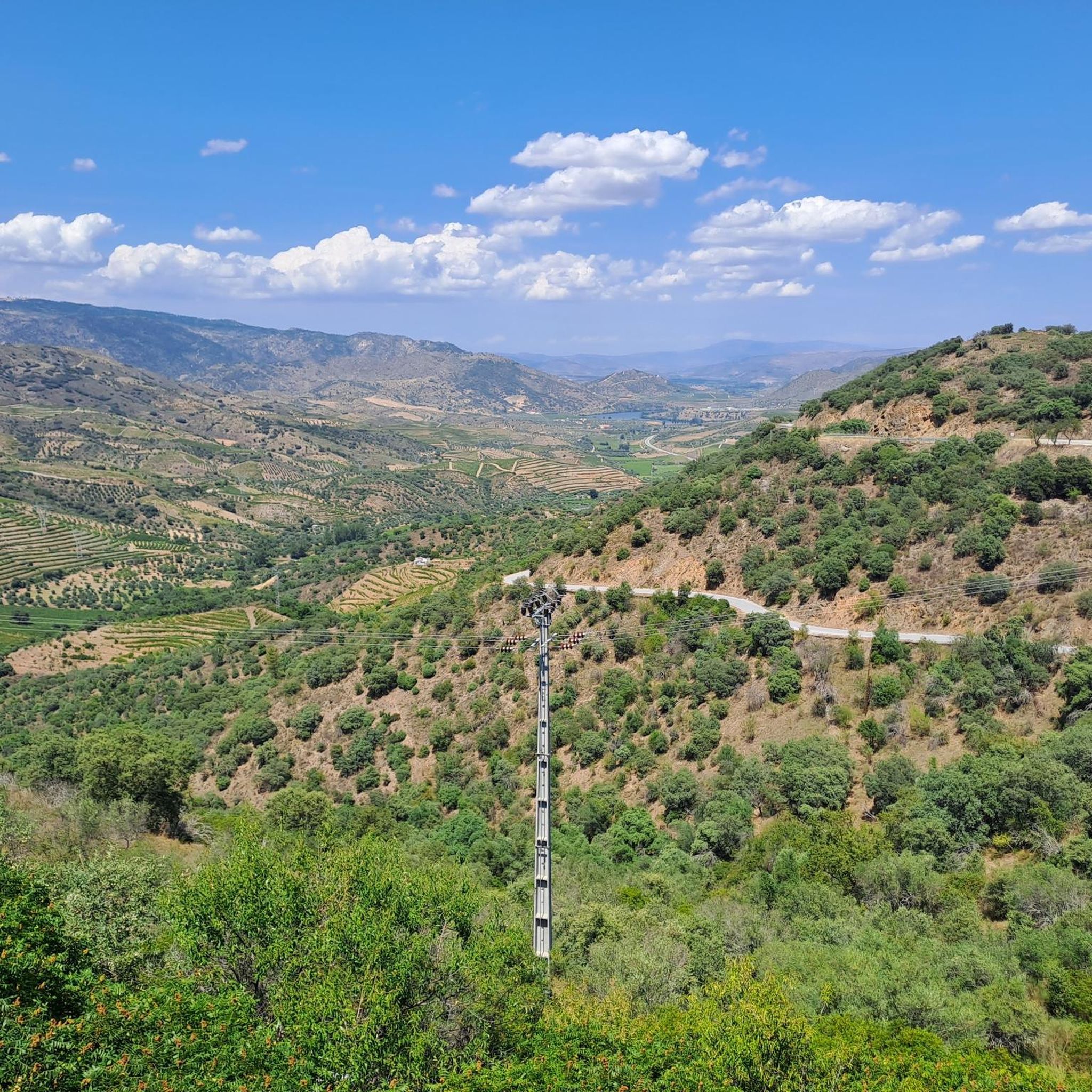
Mountain biking around Açoreira offers diverse landscapes characterized by rugged terrain, traditional agricultural settings, and river valleys. The region, part of Trás-os-Montes e Alto Douro, features extensive almond groves and is situated near the terraced vineyards of Alto Douro Vinhateiro. The Sabor River and its lakes are prominent natural features, providing varied scenery for mountain bike trails. The area's topography includes a mix of challenging ascents and scenic descents, making it suitable for different levels of mountain biking.
Best mountain…
Last updated: October 28, 2026
29
riders
60.7km
05:59
1,600m
1,600m
Hard mountain bike ride. Very good fitness required.
5.0
(1)
13
riders
69.8km
06:46
1,520m
1,520m
Hard mountain bike ride. Very good fitness required.

11
riders
69.9km
07:20
1,930m
1,930m
Hard mountain bike ride. Very good fitness required.
8
riders
37.9km
03:54
1,040m
1,040m
Hard mountain bike ride. Very good fitness required.
4.2
(5)
13
riders
Moderate mountain bike ride. Good fitness required.
Our route recommendations are based on thousands of hikes, rides, and runs completed by other people on komoot.
Tips from the Community

Cycling the Ecopista do Sabor was a magnificent adventure, highlighting the sublime richness of the Douro and Sabor valleys.
0
0
The Sabor River originates in Spain and flows through the Trás-os-Montes region until it flows into the Douro River. With the construction of the Baixo Sabor Dam, the former "wild river" gave way to the magnificent Sabor Lakes. This complex stretches for 70 km and covers four municipalities: Alfândega da Fé, Macedo de Cavaleiros, Mogadouro and Torre de Moncorvo.
0
0
The Ecopista do Sabor is a long-distance cycling and pedestrian route (with approximately 54 km usable) built on the route of the disused Linha do Sabor railway line. It connects the Pocinho area to Carviçais (30 km) and Sendim to Duas Igrejas (14 km), offering breathtaking views over the Sabor River and the Serra do Reboredo.
0
0
Railway station of the Linha do Sabor, built in the 20th century, still preserving the attached passenger building and covered goods shed, (EP+CC), the former showing greater decorative concern, the sanitary facilities building, water tank, dwelling house and signalman's shelter. The railway connection was made on a narrow gauge track (metric gauge) between Pocinho station
0
0

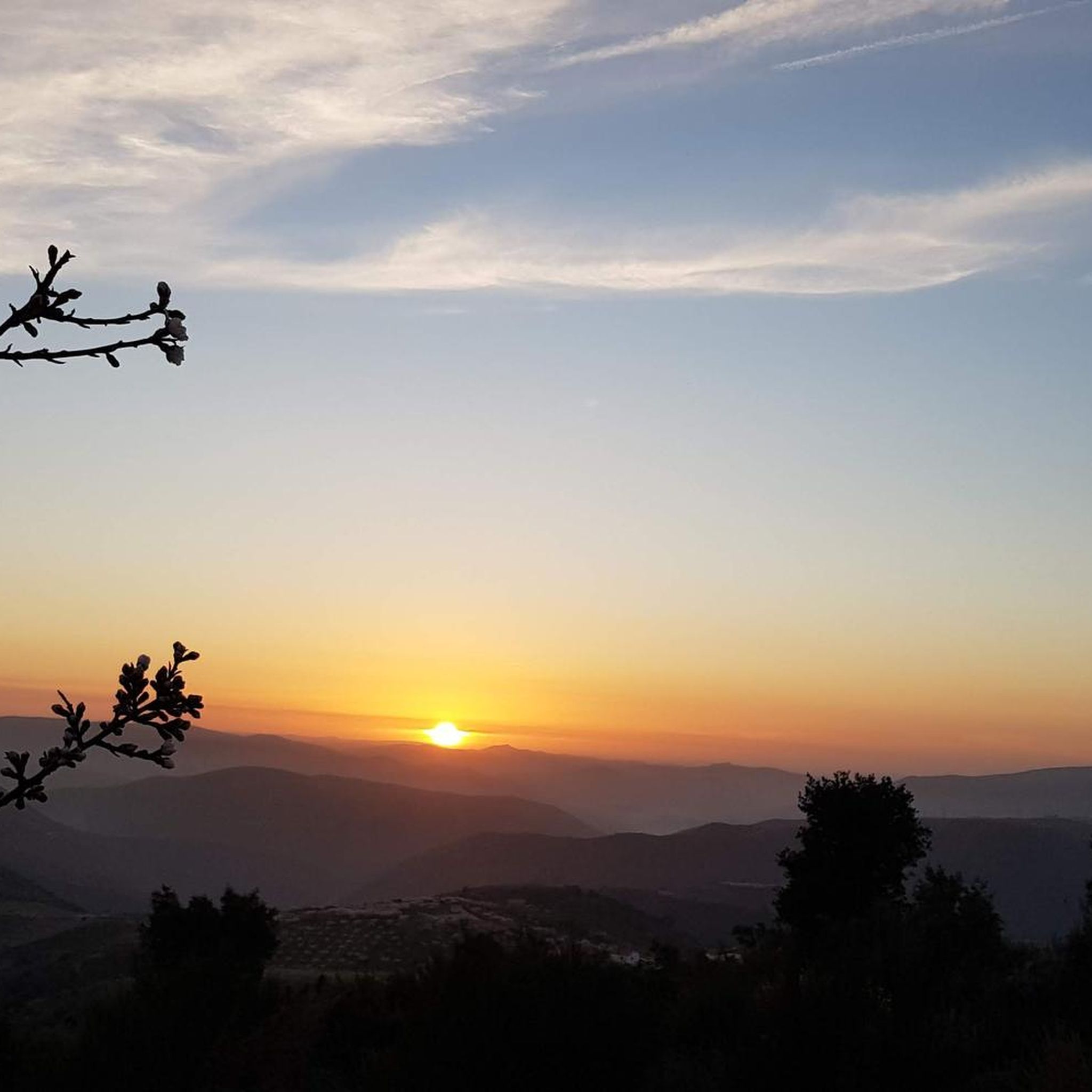
watch out: the MTB route comes from the other side here. Watch out for the tree.
0
0

Frequently Asked Questions
How many mountain bike trails are available in Açoreira?
Açoreira offers a selection of 6 mountain bike trails, catering to various skill levels. These routes explore the region's diverse landscapes, from rugged terrain to river valleys and traditional agricultural settings.
Are there mountain bike trails suitable for beginners in Açoreira?
Yes, there is 1 easy mountain bike trail available in Açoreira. While the region is known for its more challenging routes, this option provides a gentler introduction to the area's scenic beauty for less experienced riders.
What kind of terrain can I expect on mountain bike trails in Açoreira?
The terrain in Açoreira is quite varied, characterized by rugged landscapes, traditional agricultural areas with extensive almond groves, and picturesque river valleys, particularly along the Sabor River. You'll encounter a mix of challenging ascents and scenic descents, offering a rich tapestry of scenery.
Are there any circular mountain bike routes in Açoreira?
Yes, many of the mountain bike routes in Açoreira are designed as loops. For example, the Arrival at Urros loop from Torre de Moncorvo is a challenging 42.3-mile (68 km) route that takes you through diverse landscapes and offers a full circular experience.
What historical sites or cultural attractions can I find near the mountain bike trails?
The region around Açoreira is rich in history. You can explore sites like the Côa Museum, inspired by the Paleolithic art in the Côa Valley, or the Ruins of the Pocinho Railway District 🇵🇹, an important 19th-century hub. These can be interesting stops to incorporate into your biking excursions.
Can I find scenic viewpoints along the mountain bike trails in Açoreira?
Absolutely. The region boasts several breathtaking viewpoints. The São Gabriel Viewpoint offers panoramic views of the Côa Valley and the Douro River. While not directly on every trail, many routes pass through areas with elevated positions, providing stunning vistas of the terraced vineyards of Alto Douro Vinhateiro and the Sabor River.
Are there any family-friendly mountain bike trails in Açoreira?
While many trails in Açoreira are rated moderate to difficult, there is 1 easy trail that could be suitable for families with some biking experience. For a more relaxed cycling experience, consider exploring sections of the Sabor Greenway, a converted railway path, which offers flatter terrain.
What is the best time of year for mountain biking in Açoreira?
The region's climate makes spring and autumn ideal for mountain biking. During these seasons, temperatures are milder, and the natural scenery, especially the almond groves in bloom during spring or the autumnal colors of the vineyards, is particularly beautiful. Summers can be hot, and winters can be cooler and wetter.
What is the average difficulty of mountain bike trails in Açoreira?
The mountain bike trails in Açoreira lean towards the more challenging side, with 4 out of 6 routes rated as difficult and 1 as moderate. This means riders can expect significant elevation changes and technical sections, making it a rewarding destination for experienced mountain bikers.
Are there opportunities to see wildlife while mountain biking in Açoreira?
Riding through the natural landscapes of Açoreira, especially in the more remote areas and river valleys, offers a chance to observe local wildlife. The diverse ecosystems, including riverine habitats and agricultural lands, support various bird species and small mammals, providing an enriching experience for nature enthusiasts.
How long do mountain bike trails in Açoreira typically take to complete?
The duration of trails varies significantly based on their length and difficulty. For instance, a moderate route like the Mountainbike loop from Vila Nova de Foz Coa, which is 26.9 miles (43.4 km), typically takes around 3 hours 49 minutes. More challenging and longer routes can take 6 to 7 hours or more.
Are there any specific trails that offer a good mix of scenery and challenge?
For a route that combines significant challenge with diverse scenery, consider the Mountainbike loop from Torre de Moncorvo. This difficult 24.3-mile (39.1 km) trail offers rugged landscapes and takes you through areas with notable natural features, providing both a physical test and visual rewards.
Most popular routes around Açoreira
Most popular attractions around Açoreira

Get inspired with the komoot mobile app


Explore more
Browse the best MTB trails in other regions.
