The best road cycling routes around Maçores
5.0
(1)
34
riders
8
rides
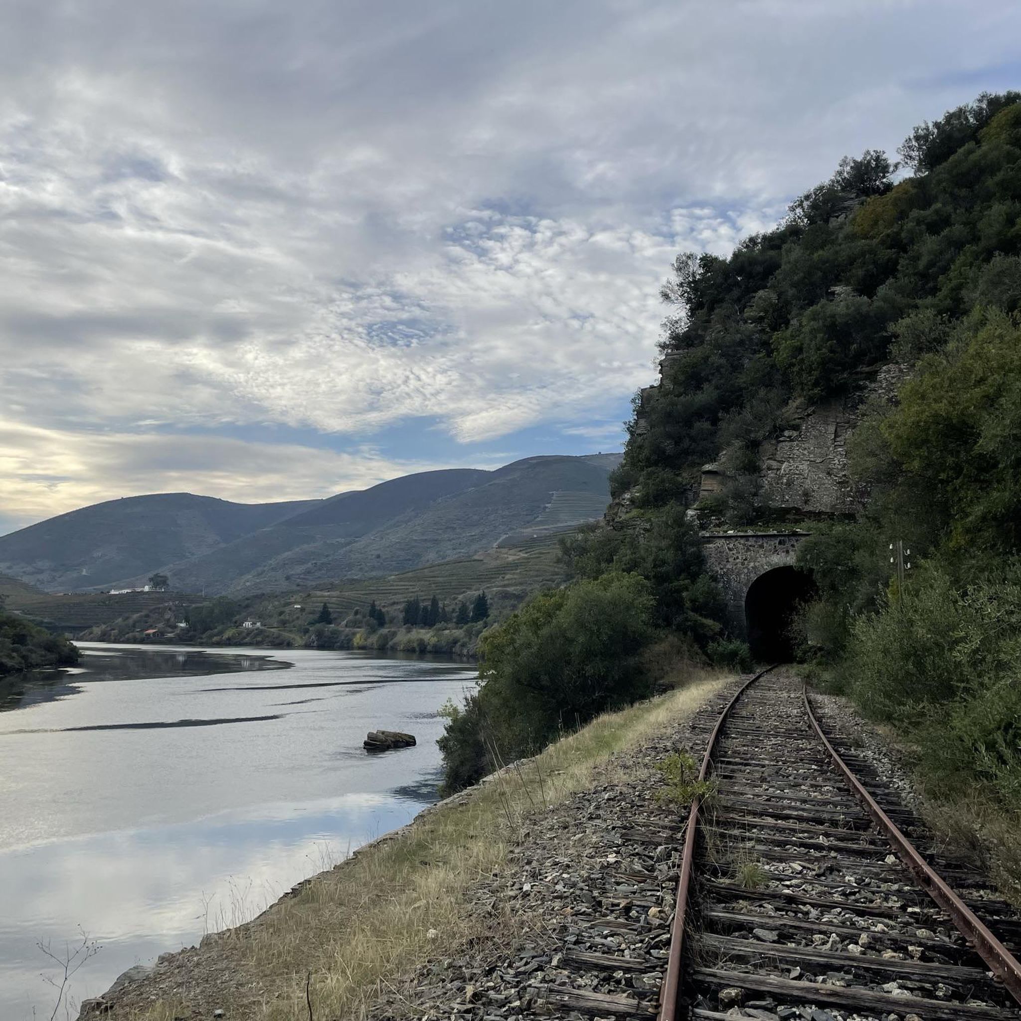
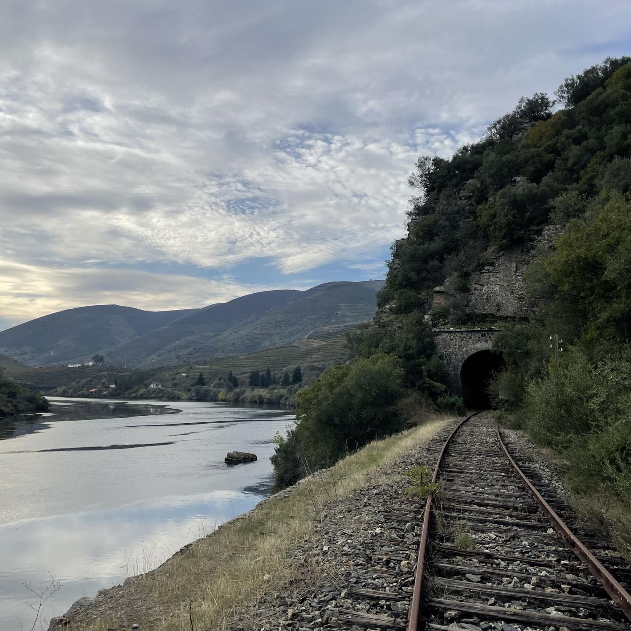
Road cycling routes around Maçores traverse a landscape characterized by river valleys, elevated terrain, and distinct geological formations. The region features schist slopes interrupted by quartzite outcrops, creating a varied backdrop for cycling. Hilly topography, including inclinations towards the Douro Valley, provides both challenging climbs and descents. These natural features contribute to a diverse road cycling experience in Maçores.
Best road cycling routes around Maçores
- The most popular road cycling route is Rio Duero along the Ribera do Arroio and…
Last updated: June 28, 2026
3
riders
Moderate road ride. Good fitness required. Mostly well-paved surfaces and easy to ride.
4
riders
50.4km
02:49
1,140m
1,140m
Hard road ride. Very good fitness required. Mostly well-paved surfaces and easy to ride.

Sign up for free
1
riders
25.6km
01:21
450m
450m
Cycle the Circular de Moncorvo — VIEWS of Rio Douro, a moderate 15.9-mile road route with impressive views of the Rio Douro.
5.0
(1)
8
riders
92.9km
04:54
1,680m
1,690m
Hard road ride. Very good fitness required. Mostly well-paved surfaces and easy to ride.
7
riders
97.3km
05:15
1,920m
1,910m
Hard road ride. Very good fitness required. Mostly well-paved surfaces and easy to ride.
Get access to more routes and recommendations from other explorers.
Sign up for free
Already have an account?
Our route recommendations are based on thousands of hikes, rides, and runs completed by other people on komoot.
Start today with a free account
Your next adventure awaits.
Login or Signup
Popular around Maçores
Tips from the Community

Vila Nova de Foz Côa is a jewel of northern Portugal, located in the Guarda district of the Alto Douro region. It is known for its unique archaeological heritage, spectacular wine-growing landscapes, and its deep connection to history and nature.
3
0

The bridge was designed and built in 1955 by the renowned Portuguese engineer Edgar Cardoso. It is considered the first motorway bridge in the Portuguese section of the Douro River and is a concrete arch bridge with a length of approximately 300 meters. It is named after the Portuguese naval officer and colonial administrator Almirante Manuel Maria Sarmento Rodrigues, who served as governor of Guinea and Mozambique under the Salazar dictatorship and later became Minister of Colonies.
1
0

Castelo Rodrigo holds millennia of history, from Paleolithic and Roman remains to the Muslim presence in the castle. Conquered and reconquered between the 12th and 13th centuries, it became a town and municipality under King Alfonso IX of León and passed definitively to Portugal in 1297, when King Dinis rebuilt and repopulated the castle. Marked by wars, charters, and restorations, it welcomed pilgrims on their way to Santiago and remains today one of the twelve Historic Villages of Portugal.
3
0
Castelo Rodrigo is a village with a medieval soul, where time has left its deep marks: walls, stone streets and remains of an ancient community of New Christians. Surrounded by magnificent landscapes, from the Douro International Natural Park to the Côa Valley, passing through the Serra da Marofa and the Faia Brava Reserve, this village is an invitation to contemplation and to taste. Here, history is served at the table: Marofa lamb, octopus in migas or rice are flavors that count as much as the books.
2
0
The bridge is notable for its six curvilinear polygonal arches, with a total length of 232 metres. In 1973, it was named after Admiral Sarmento Rodrigues, a prominent Portuguese politician and military man. The structure is an outstanding example of bridge engineering of the period and remains an important landmark in the region.
9
0

The bridge connects Spain and Portugal. Thanks to the EU you can easily walk across it 🙂
1
0

Impressive town that is located on this hilltop and the ruins in the center are also worth seeing.
0
0
Nice road, which leaves us at the entrance to Urros, on a hilly and winding road, good for riding.
0
0
Frequently Asked Questions
How many road cycling routes are available around Maçores?
There are over 8 road cycling routes around Maçores, offering a variety of experiences for cyclists. These routes are rated by the komoot community with an average score of 5.0 stars.
What kind of terrain can I expect when road cycling in Maçores?
Road cycling in Maçores features a diverse topography, including river valleys, elevated terrain, and distinct geological formations. You'll encounter schist slopes dramatically interrupted by impressive quartzite outcrops, providing both challenging climbs and rewarding descents, especially towards the Douro Valley.
Are there routes suitable for beginners or those looking for an easier ride?
While many routes in Maçores offer significant elevation changes, there are moderate options available. For example, the Torre de Moncorvo and Sabor Greenway Loop is a moderate 15.9-mile (25.6 km) trail that leads through river valleys and near the Sabor Greenway, offering a less strenuous experience compared to some of the more difficult routes.
What are some challenging road cycling routes in the Maçores area?
For experienced cyclists seeking a challenge, routes like Rio Duero along the Ribera do Arroio and city of Urros — circular from Torre de Moncorvo are ideal. This difficult 31.3-mile (50.4 km) trail navigates significant river valleys and elevated terrain, with over 1100 meters of elevation gain.
Can I find circular road cycling routes around Maçores?
Yes, several circular road cycling routes are available. Examples include the Rio Duero along the Ribera do Arroio and city of Urros — circular from Torre de Moncorvo and the Moncorvo, Miradouro de São Gregório e Lagos do Sabor — circular pela Barragem do Baixo Sabor, both designed as loops to bring you back to your starting point.
What scenic viewpoints or landmarks can I discover along the road cycling routes?
Maçores offers stunning vistas and interesting landmarks. The Ponte de Santa over the Ribeira do Mosteiro is surrounded by enchanting scenery. Many routes, such as the Moncorvo, Miradouro de São Gregório e Lagos do Sabor, include the impressive Miradouro de São Gregório, offering panoramic views of the region's valleys and geological formations.
What is the best time of year for road cycling in Maçores?
The region's climate, with its warm summers and mild winters, generally makes spring and autumn ideal for road cycling in Maçores. During these seasons, temperatures are pleasant, and the natural landscapes are particularly vibrant, offering comfortable conditions for longer rides and enjoying the scenic views.
Are there any family-friendly road cycling options in Maçores?
While many road cycling routes in Maçores feature significant elevation changes, the area's diverse network may offer sections or shorter routes suitable for families. The presence of the Sabor Greenway (Ecopista do Sabor), though primarily gravel, suggests dedicated cycling infrastructure that could be adapted for family outings, especially near Torre de Moncorvo.
What do other cyclists say about road cycling in Maçores?
The area is highly rated by the komoot community, with an average score of 5.0 stars from more than 1 review. Cyclists often praise the varied terrain, from river valleys to elevated sections, and the distinct geological formations that create a unique and engaging backdrop for their rides.
Are there opportunities for cafe stops or refreshments along the routes?
While specific cafe stops are not detailed for every route, the road cycling routes often pass through or near towns like Torre de Moncorvo. These settlements typically offer amenities where cyclists can find refreshments, cafes, and other services to refuel during their rides.
What unique natural features will I encounter while cycling in Maçores?
Cyclists in Maçores will experience a landscape rich in natural beauty, including the dramatic contrast of schist slopes and impressive quartzite outcrops. The region is defined by its river valleys, such as those of the Ribeira do Mosteiro and the Douro, and elevated terrains that provide stunning panoramic views.
Is there public transport access to the road cycling routes in Maçores?
Maçores is located in a more isolated region of Portugal. While specific public transport links directly to trailheads might be limited, major towns like Torre de Moncorvo, which serve as starting points for several routes, may have regional bus services. It's advisable to check local transport schedules for connections to the area.
Where can I park my car when starting a road cycling tour in Maçores?
For routes starting from towns like Torre de Moncorvo, you can typically find public parking facilities within the town. It's recommended to check local signage for parking regulations and availability, especially in the vicinity of popular starting points for cycling tours.
Most popular routes around Maçores
Most popular attractions around Maçores

Get inspired with the komoot mobile app


Explore more
Browse the best Road cycling routes in other regions.
