
The best running trails around Tortosendo
5.0
(3)
300
runners
40
runs
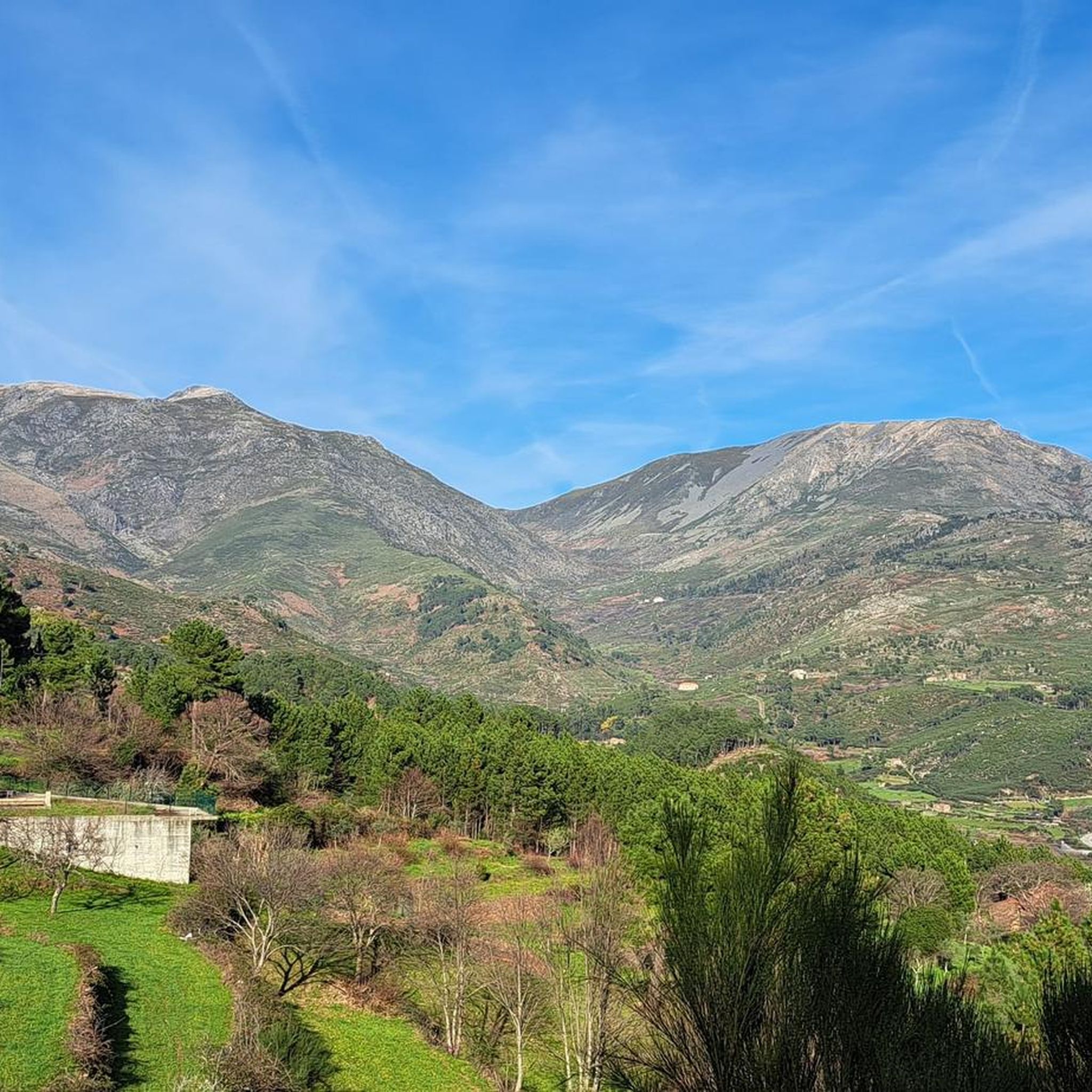
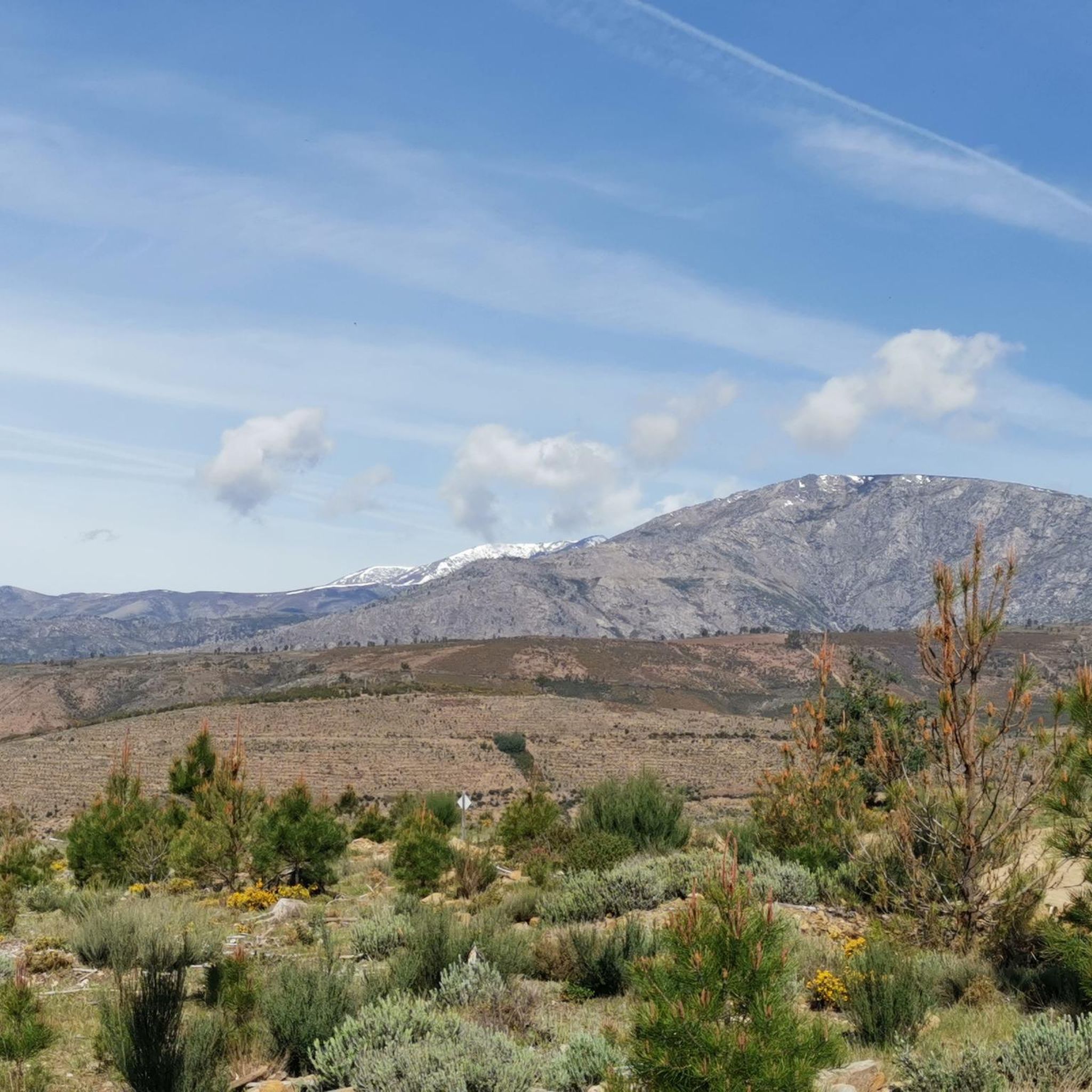
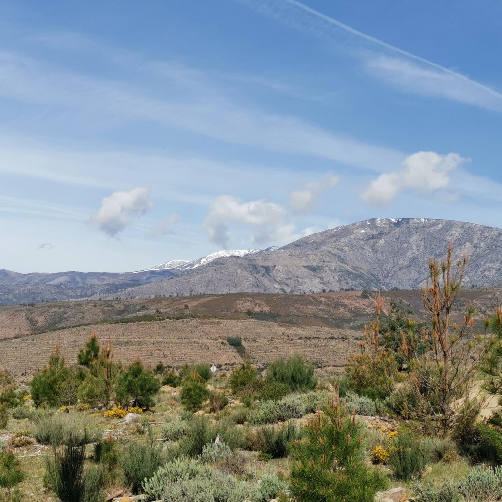
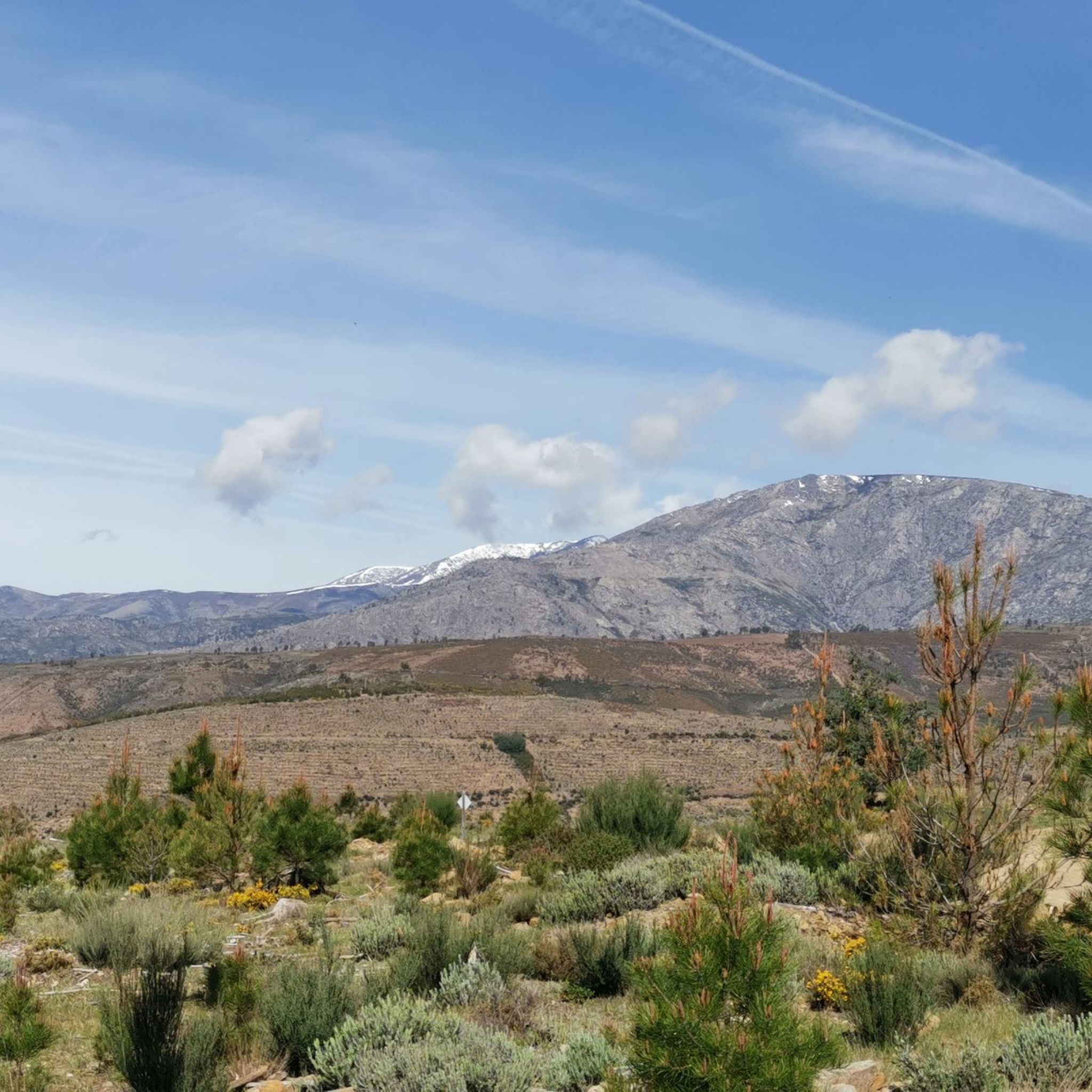
Jogging around Tortosendo offers diverse landscapes for outdoor enthusiasts. The region is characterized by its proximity to the Serra da Estrela mountain range, providing varied terrain with significant elevation changes. Trails often wind through valleys and forested areas, creating a tranquil environment for running. This area provides a range of running routes suitable for different fitness levels.
Best jogging routes around Tortosendo
- The most popular jogging route is Running loop from Covilhã, a 4.4 miles (7.1 km) trail that…
Last updated: June 24, 2026
8
runners
7.07km
00:45
120m
120m
Moderate run. Good fitness required. Mostly paved surfaces. Suitable for all skill levels.
6
runners
9.37km
01:00
120m
120m
Moderate run. Good fitness required. Mostly paved surfaces. Suitable for all skill levels.

Sign up for free
4
runners
9.12km
00:58
140m
140m
Moderate run. Good fitness required. Mostly paved surfaces. Suitable for all skill levels.
4
runners
11.6km
01:20
340m
340m
Hard run. Very good fitness required. Mostly paved surfaces. Suitable for all skill levels.
4
runners
12.7km
01:35
370m
370m
Hard run. Very good fitness required. Mostly paved surfaces. Suitable for all skill levels.
Get access to more routes and recommendations from other explorers.
Sign up for free
Already have an account?
Our route recommendations are based on thousands of hikes, rides, and runs completed by other people on komoot.
Start today with a free account
Your next adventure awaits.
Login or Signup

Frequently Asked Questions
How many running routes are available in Tortosendo?
Tortosendo offers a wide selection of running routes, with over 40 trails available for you to explore. These routes cater to various preferences, from easy paths to more challenging runs.
What is the general difficulty level of running trails in Tortosendo?
The majority of running trails in Tortosendo are rated as moderate, making them suitable for runners with some experience. There are also a few challenging routes for those seeking a more intense workout, and a limited number of easy paths perfect for beginners or a relaxed jog.
What kind of terrain can I expect on jogging routes around Tortosendo?
Jogging routes around Tortosendo feature diverse terrain, influenced by its proximity to the Serra da Estrela mountain range. You can expect significant elevation changes, trails winding through tranquil valleys, and shaded forested areas. The varied landscape provides both challenging ascents and picturesque flat sections.
Are there circular running routes available in Tortosendo?
Yes, many of the running routes in Tortosendo are designed as loops, offering convenient circular paths. For example, you can enjoy the Lago da Sereia loop from Covilhã, which is a moderate 5.8-mile (9.4 km) path with scenic views.
What do other runners say about the trails in Tortosendo?
The running routes in Tortosendo are highly regarded by the komoot community, boasting an average score of 5.0 stars from 3 reviews. Over 300 runners have already used komoot to explore the varied terrain, often praising the beautiful natural scenery and the well-maintained paths.
Are there any running routes with scenic viewpoints in Tortosendo?
Absolutely! The region is known for its stunning vistas. You can find routes that pass by viewpoints such as View of Covilhã from Curral do Vento, offering panoramic views of the Serra da Estrela, or the Poios Brancos Viewpoint. These spots provide excellent opportunities to pause and enjoy the natural beauty.
What are some interesting natural features or landmarks I can see while jogging?
Beyond the stunning mountain views, you might encounter unique natural rock formations known as 'Lapa,' which historically served as shelters. One such example is Lapa de Pastor. The trails also often wind through beautiful forests and past crystal-clear waters, adding to the picturesque scenery.
Are there family-friendly running routes in Tortosendo?
While many routes are moderate, there is at least one easy running path available, which could be suitable for families or those looking for a less strenuous outing. These paths offer a gentle introduction to the region's natural beauty.
Can I bring my dog on the running trails in Tortosendo?
The natural environment of Tortosendo, with its forests and open spaces, is generally welcoming for dogs. However, it's always recommended to keep your dog on a leash, especially in protected areas or near wildlife, to ensure a safe and enjoyable experience for everyone.
Is parking available near the running trails in Tortosendo?
While specific parking information for each trailhead isn't detailed, as a general rule, you can often find parking in the towns or villages where routes begin, such as Covilhã or Boidobra. It's advisable to check local maps or community information for the most convenient parking spots before your run.
How can I get to the running trails using public transport?
Tortosendo and nearby towns like Covilhã are generally accessible by local public transport. To reach specific trailheads, it's best to consult local bus schedules or regional transport services that connect to the starting points of the running routes. Planning your journey in advance will help ensure a smooth trip.
What is a popular running route starting from Boidobra?
A popular choice among local runners is the Running loop from Boidobra. This trail covers 5.7 miles (9.1 km) and leads through local paths, typically completed in about 58 minutes, offering a great moderate workout.
Are there any running routes that start from Covilhã?
Yes, Covilhã serves as a starting point for several excellent running routes. A highly popular option is the Running loop from Covilhã, a 4.4-mile (7.1 km) trail that takes about 45 minutes and showcases varied local landscapes.
Most popular attractions around Tortosendo

Get inspired with the komoot mobile app


Explore more
Browse the best Running Trails & Routes in other regions.
