The best walks and hikes around Lavacolhos
4.7
(18)
66
hikers
5
hikes
Hiking around Lavacolhos offers diverse landscapes situated between the Serra da Gardunha and Serra da Estrela mountains. The region features a varied topography of granite and shale, with abundant water resources feeding numerous streams. Hikers can explore well-preserved forests of sweet chestnut and oak on northern slopes, contrasting with Mediterranean scrubland and pine forests. Granitic outcrops, particularly around the Castelo Velho site, provide unique geological formations and panoramic viewpoints.
Best hiking trails around Lavacolhos
- The most popular hiking route is…
Last updated: June 24, 2026
4.3
(9)
34
hikers
7.93km
02:32
320m
320m
Moderate hike. Good fitness required. Easily-accessible paths. Suitable for all skill levels.
4.5
(6)
25
hikers
6.10km
02:02
310m
310m
Moderate hike. Good fitness required. Easily-accessible paths. Suitable for all skill levels.

Sign up for free
5.0
(2)
3
hikers
9.18km
03:06
450m
460m
Moderate hike. Good fitness required. Easily-accessible paths. Suitable for all skill levels.
2
hikers
9.01km
02:46
330m
330m
Moderate hike. Good fitness required. Easily-accessible paths. Suitable for all skill levels.
1
hikers
8.56km
02:55
430m
430m
Moderate hike. Good fitness required. Easily-accessible paths. Suitable for all skill levels.
Our route recommendations are based on thousands of hikes, rides, and runs completed by other people on komoot.
Start today with a free account
Your next adventure awaits.
Login or Signup

Tips from the Community

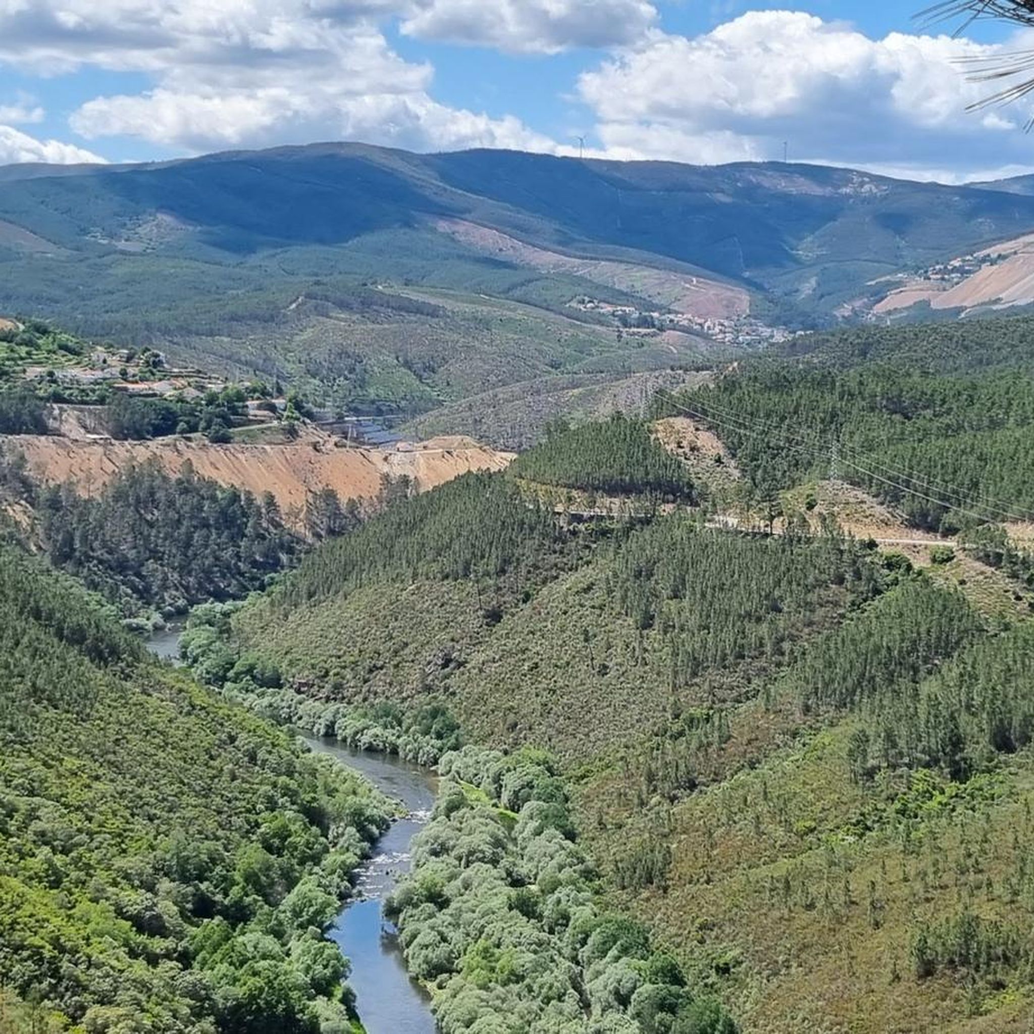
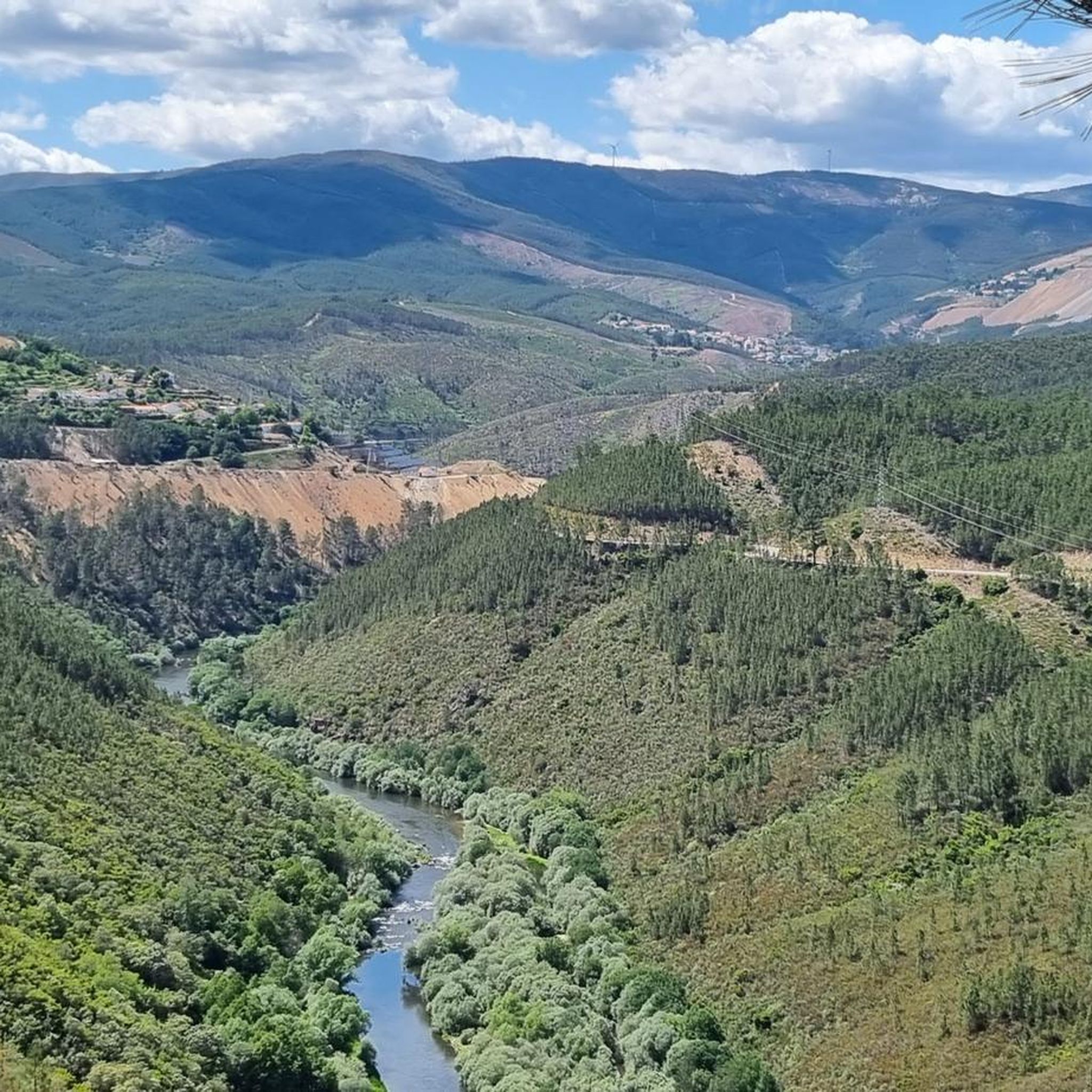
Superb place for a break (bench assured) and beautiful panoramic view
2
0
Frequently Asked Questions
What kind of terrain can I expect on hiking trails around Lavacolhos?
The hiking trails around Lavacolhos feature a diverse topography, primarily characterized by a fascinating mix of granite and shale. You'll encounter well-preserved forests of sweet chestnut and oak on the northern slopes of Serra da Gardunha, contrasting with Mediterranean scrubland and pine forests. Many routes also showcase remarkable granitic outcrops, offering unique geological formations.
Are there any family-friendly hiking options in Lavacolhos?
While all routes listed are rated as moderate, the region offers a variety of landscapes that can be enjoyed by families. The presence of fluvial beaches, like the one in Lavacolhos, provides recreational areas with amenities such as children's play areas and picnic spots, making them suitable for family outings before or after a walk. Trails like the 'Caminho do Vale' mentioned in the region research offer gentle inclines alongside brooks and wildflowers, which can be pleasant for families.
Can I bring my dog on the hiking trails in Lavacolhos?
Lavacolhos is generally welcoming to outdoor enthusiasts and their canine companions. Many trails in natural areas are suitable for dogs, provided they are kept under control, especially in areas with wildlife or livestock. Always ensure you carry water for your dog and clean up after them to preserve the natural environment.
What are some notable natural features or landmarks to look out for on the trails?
The region is rich in natural beauty. You can expect to see unique granitic outcrops, including 'Fraturação Poligonal' and 'Tor' formations, particularly around the Castelo Velho site. Waterways are abundant, with cascading streams and small waterfalls adding charm to many routes. Extensive cherry orchards and meadows bursting with wildflowers in spring also contribute to the picturesque scenery. The Serra da Gardunha is also known for its high biological diversity.
Are there any circular hiking routes available in Lavacolhos?
Yes, many of the hiking routes around Lavacolhos are designed as loops, allowing you to start and end at the same point. For example, the Church loop from Fundão is a moderate 7.9 km trail that takes about 2 hours 30 minutes, exploring the local surroundings. Another option is the Hiking loop from Casal Álvaro Pires, a 9.2 km route through varied terrain.
What is the best time of year to go hiking in Lavacolhos?
The region offers pleasant hiking experiences throughout much of the year. Spring (March to May) is particularly vibrant with wildflowers and cherry blossoms. Autumn (September to November) provides comfortable temperatures and beautiful fall foliage. Summers can be warm, so early mornings or late afternoons are recommended, especially if you plan to enjoy the fluvial beaches. Winters are generally mild, but some higher elevation trails might be cooler.
Are there any viewpoints with panoramic views along the trails?
Absolutely. The Castelo Velho site, nearly 1,000 meters above sea level, offers breathtaking panoramic views stretching across the Castelo Branco plain to the Tagus River. The Pedra d'Hera Viewpoint also provides incredible vistas of Fundão and the surrounding mountains. You can experience these views on routes like the Pedra d'Hera loop from Fundão.
What historical or cultural points of interest can be found near the hiking trails?
Beyond natural beauty, the area is steeped in history. The nearby Historic Village of Castelo Novo, with its Templar heritage, Manueline architecture, and Baroque fountains, offers a glimpse into the past. Along some trails, you might discover remnants of old watermills and olive presses, hinting at the region's agricultural history. In Lavacolhos itself, the Casa do Bombo de Lavacolhos showcases the local tradition of bass drums.
How many hiking trails are available around Lavacolhos?
There are 5 dedicated hiking routes available around Lavacolhos, all rated as moderate. These trails offer diverse experiences through the region's unique landscapes.
What do other hikers enjoy most about hiking in Lavacolhos?
The area is highly rated by the komoot community, with an average score of 4.6 stars from over 10 reviews. Hikers often praise the varied terrain, the beautiful natural features like granitic outcrops and forests, and the well-maintained paths that offer a rewarding outdoor experience.
Are there any trails that feature water elements like streams or waterfalls?
Yes, the topography of Lavacolhos is crisscrossed by abundant water resources. Many trails follow cascading streams, and you can find small waterfalls along various routes, adding to the scenic beauty. The Gardunha stream is a central feature, forming a fluvial beach in Lavacolhos, which is a great spot for relaxation.
What is the typical difficulty level of hikes in Lavacolhos?
All 5 available hiking routes in Lavacolhos are rated as moderate. This means they generally involve some elevation gain and varied terrain, suitable for hikers with a reasonable level of fitness. They are not considered easy strolls but also do not typically require advanced technical skills.
Can I find longer or shorter hiking options in the area?
The available routes range in length, offering options for different preferences. For instance, the Hiking loop from Souto da Casa is approximately 8.6 km, taking around 2 hours 55 minutes, while the Miradouro da Amizade loop from Vales do Rio is about 9.0 km, typically completed in 2 hours 46 minutes. These provide good moderate-length excursions.
Most popular routes around Lavacolhos

Get inspired with the komoot mobile app


Explore more
Browse the best Hikes in other regions.
