Attractions and Places To See around Salvaterra Do Extremo - Top 14
Attractions and places to see around Salvaterra Do Extremo include a blend of historical landmarks and natural features. This historic Portuguese village, situated on the border with Spain, offers insights into its Roman and Moorish past. The area is characterized by its location within the International Tagus Natural Park and the Erges River canyon, a significant geomonument. Visitors can explore ancient fortifications, religious sites, and natural landscapes.
Best attractions and places to see around Salvaterra Do Extremo
- The most popular…
Last updated: August 26, 2026
Segura International Bridge
Highlight • Bridge
Translated by Google •
Tip by

Peñafiel Castle of Zarza la Mayor
Highlight • Castle
The construction of the castle …
Translated by Google •
Tip by
Sign up now to discover places like this
Get recommendations on the best single tracks, peaks, & plenty of other exciting outdoor places.
Sign up for free
Peña Buraca (Canchal de los Ojos) and Medieval Tombs
Highlight • Historical Site
Translated by Google •
Tip by
Termas de Monfortinho
Highlight • Rest Area
Translated by Google •
Tip by

Plaza Mayor and Church of San Andrés Apóstol, Zarza la Mayor
Highlight • Religious Site
Translated by Google •
Tip by
Sign up for free to discover even more attractions around Salvaterra Do Extremo.
Sign up for free
Already have an account?
Start today with a free account
Your next adventure awaits.
Login or Signup

Tips from the Community

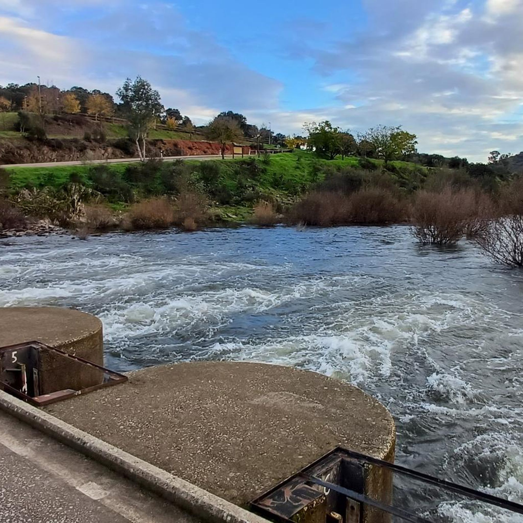
On the Spanish side, the bridge is located in the municipality of Alcántara in the province of Cáceres. It is reached via the regional highway EX-207 from the nearby town of Piedras Albas. On the Portuguese side, it connects with a local road to reach the town of Segura, from which this bridge takes its name. It was built in the Roman province of Lusitania to give continuity to the Roman road that connected Norba Caesarina (on the Via de la Plata) with the civitas Egitania (Idanha-a-Velha, Portugal) and with Bracara Augusta (Braga, Portugal), in order to save the Erjas river. This river marks the border line between Spain and Portugal, and the bridge serves as an international crossing between both countries.
9
0
Peñafiel Castle, also known as Racha Rachel Castle, is an old fortification located in the municipality of Zarza la Mayor, in the province of Cáceres. The construction of the castle dates back to the 13th century. It was built on the remains of a fortress of Arab origin from the 9th century. King Alfonso IX conquered the fortress in 1212 and granted it to the Order of Alcántara, thus forming an important commandery.
11
0
Zarza la Mayor is a Spanish town and municipality, located in the province of Cáceres, in the autonomous community of Extremadura. It belongs to the judicial district of Cáceres and is the westernmost town in the community of Rivera de Fresnedosa. Furthermore, it is the only municipality in said community that has a border with Portugal, located four kilometers in a straight line from Salvaterra do Extremo.
10
0

Border bridge over the Erjas river near the town of Segura.
2
0
At the west end of the city, the Plaza Mayor is worth visiting as you head out of town on your walk to admire the Church of San Andrés Apóstol and the council building.
4
0
Built during Muslim rule of the Iberian Peninsula on a strategic rock outcrop above the Ergas River on the border between Spain and Portugal, the Castle is a stunning site to visit that will transport you to another era.
3
0
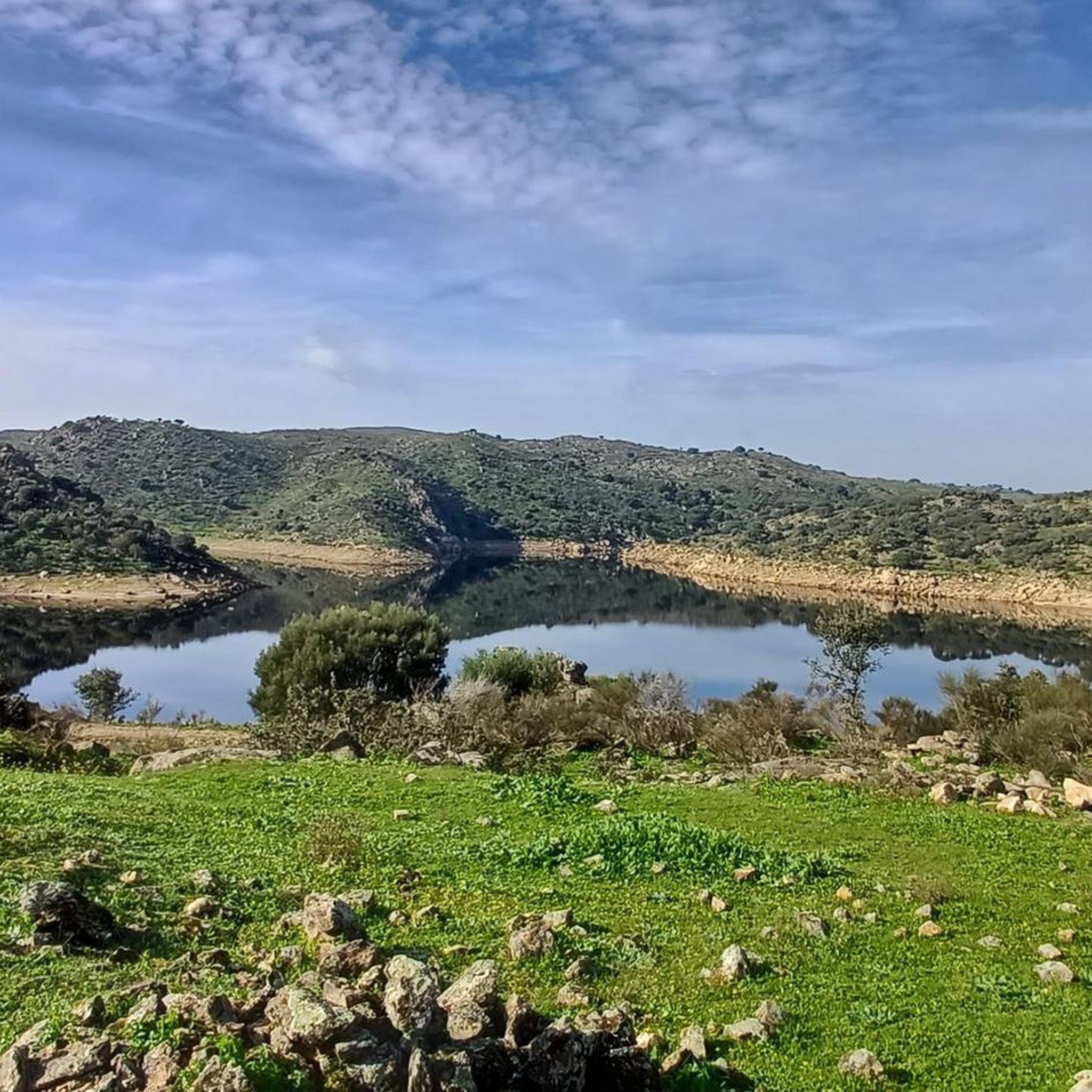
La Peña Buraca de Alcántara is already an Asset of Cultural Interest in Extremadura with the category of archaeological zone. La Peña Buraca, also known as Canchal de los Ojos, is the most representative element of this enclave that, even though it is very close to Piedras Albas, belongs to the municipality of Alcántara.
11
0

It is a granite rock in the middle of a beautiful holm oak pasture with two holes that look like two mysterious cave eyes. Experts say that it is an ancient place of worship, ritual or burial, next to it there are several anthropomorphic tombs from medieval times and archaeological remains of remote origin have been found.
2
0
Frequently Asked Questions
What historical landmarks can I explore in Salvaterra do Extremo?
Salvaterra do Extremo is rich in history. You can visit the 15th-century Igreja Matriz de Salvaterra do Extremo, the Igreja da Misericórdia, and the 16th-century Pelourinho de Salvaterra do Extremo. Don't miss the remnants of medieval fortifications, including the Torre do Relógio, and the ancient Segura International Bridge, a Roman-era structure marking the border with Spain.
Are there any natural attractions or features to see around Salvaterra do Extremo?
Absolutely. The area is known for the dramatic Erges River Canyon, a significant geomonument within the UNESCO Naturtejo Geopark. You can also explore the International Tagus Natural Park, which offers rich biodiversity. For a unique natural and historical blend, visit Peña Buraca (Canchal de los Ojos) and Medieval Tombs, a granite rock formation with eye-like holes surrounded by ancient burial sites.
What outdoor activities are available near Salvaterra do Extremo?
The region is excellent for outdoor enthusiasts. You can find numerous hiking and cycling routes. For hiking, consider trails like the Peñafiel Castle Trail or the circular route from Zarza la Mayor by the Río Erjas. Cyclists can explore routes such as the 'Açude de Salvaterra – Miradouro do Canhão do Erges loop' for road cycling, or the 'Cañada Real de Gata loop' for touring. Find more details on these activities in the hiking guide and cycling guide for the area.
Are there family-friendly attractions in Salvaterra do Extremo?
Yes, there are options suitable for families. The Termas de Monfortinho offers a quiet thermal bath experience, which can be a relaxing outing. Additionally, the Plaza Mayor and Church of San Andrés Apóstol in Zarza la Mayor provide a pleasant historical setting to explore with children.
Where can I go for birdwatching in the region?
The Rota dos Abutres (Vulture Route) is a fantastic option for birdwatching. This circular pedestrian route, starting near the main church, offers excellent opportunities to spot griffon vultures, Egyptian vultures, black vultures, Bonelli's eagles, and black storks. There's even a bird observatory about 1 km from the church.
What is the significance of the Erges River in Salvaterra do Extremo?
The Erges River is highly significant as it flows through a deep, rugged granite gorge, forming a remarkable fluvial canyon that is a key geomonument of the UNESCO Naturtejo Geopark. It also serves as the natural border between Portugal and Spain, and features historic watermills along its banks.
Can I find any ancient Roman sites in the area?
Yes, you can discover vestiges of a Roman road, which was part of an ancient itinerary connecting Mérida to Egitânia (Idanha-a-Velha). The Segura International Bridge is also a historical Roman-era structure that crossed the Erges River.
What is the best time of year to visit Salvaterra do Extremo for outdoor activities?
The region's climate makes spring and autumn ideal for outdoor activities like hiking and cycling, with milder temperatures. Summer can be quite warm, but the fluvial beach on the Erges River offers a refreshing option for recreation during this season.
Are there any castles or fortifications to visit?
Yes, Salvaterra do Extremo has remnants of its past as a Templar stronghold. You can observe some parts of the medieval castle and 17th-century walled fortress. Nearby, the imposing Peñafiel Castle of Zarza la Mayor, built on the remains of an Arab fortress, offers a stunning historical site with a viewpoint.
What is the UNESCO Naturtejo Geopark, and how does it relate to Salvaterra do Extremo?
Salvaterra do Extremo is situated within the UNESCO Naturtejo Meseta Meridional Geopark. This geopark is recognized for its important geological heritage, featuring eight geosites with significant geomorphological, stratigraphic, paleontological, tectonic, mining, and cultural interest, including ancient fossils. The Erges River Canyon is a prime example of the geopark's natural wonders.
What kind of unique natural formations can be found here?
Beyond the Erges River Canyon, a notable unique formation is Peña Buraca (Canchal de los Ojos). This granite rock features two distinctive eye-like holes, giving it a mysterious appearance, and is believed to have been an ancient place of worship or burial.
Most popular routes around Salvaterra Do Extremo

Get inspired with the komoot mobile app


Explore more
Still not found the Highlight you’re looking for? See guides of the top attractions in other regions:
