The best running trails around Barril De Alva
52
runners
6
runs
Jogging around Barril De Alva offers a variety of routes through diverse terrain. The region features significant elevation changes, particularly around Monte Colcurinho, providing challenging climbs and descents. Paths often traverse river valleys and rural landscapes, connecting small villages and natural points of interest. These running routes provide opportunities to experience the area's natural beauty and local character.
Best jogging routes around Barril De Alva
- The most popular jogging route is Monte Colcurinho loop from Vale do Torno, a…
Last updated: July 8, 2026
18
runners
34.1km
05:00
1,610m
1,610m
Hard run. Very good fitness required. Mostly paved surfaces. Suitable for all skill levels.
12
runners
14.0km
02:09
720m
720m
Hard run. Very good fitness required. Mostly paved surfaces. Suitable for all skill levels.

Sign up for free
10
runners
13.3km
01:44
370m
370m
Hard run. Very good fitness required. Mostly paved surfaces. Suitable for all skill levels.
5
runners
10.1km
01:08
150m
150m
Moderate run. Good fitness required. Mostly paved surfaces. Suitable for all skill levels.
4
runners
11.9km
01:16
160m
170m
Moderate run. Good fitness required. Mostly paved surfaces. Suitable for all skill levels.
Our route recommendations are based on thousands of hikes, rides, and runs completed by other people on komoot.
Start today with a free account
Your next adventure awaits.
Login or Signup

Tips from the Community

Bridge built over the Cavalos River, with a deck approximately 50 m long and 3 m wide. It probably forms part of the same road link as the Roman road of Pedra da Sé, serving as a connection between the Roman civitas of Bobadela and that of Viseu. It has only one arch with a perfect semicircular span, and the pavement that forms part of the deck is the result of intervention after the time of construction. It has been classified as a Property of Public Interest (IIP) since 1990, by Decree No. 163 of July 17, 1990.
1
0

Small but very pleasant river beach (without sand) on the course of the Rio de Cavalos.
2
0

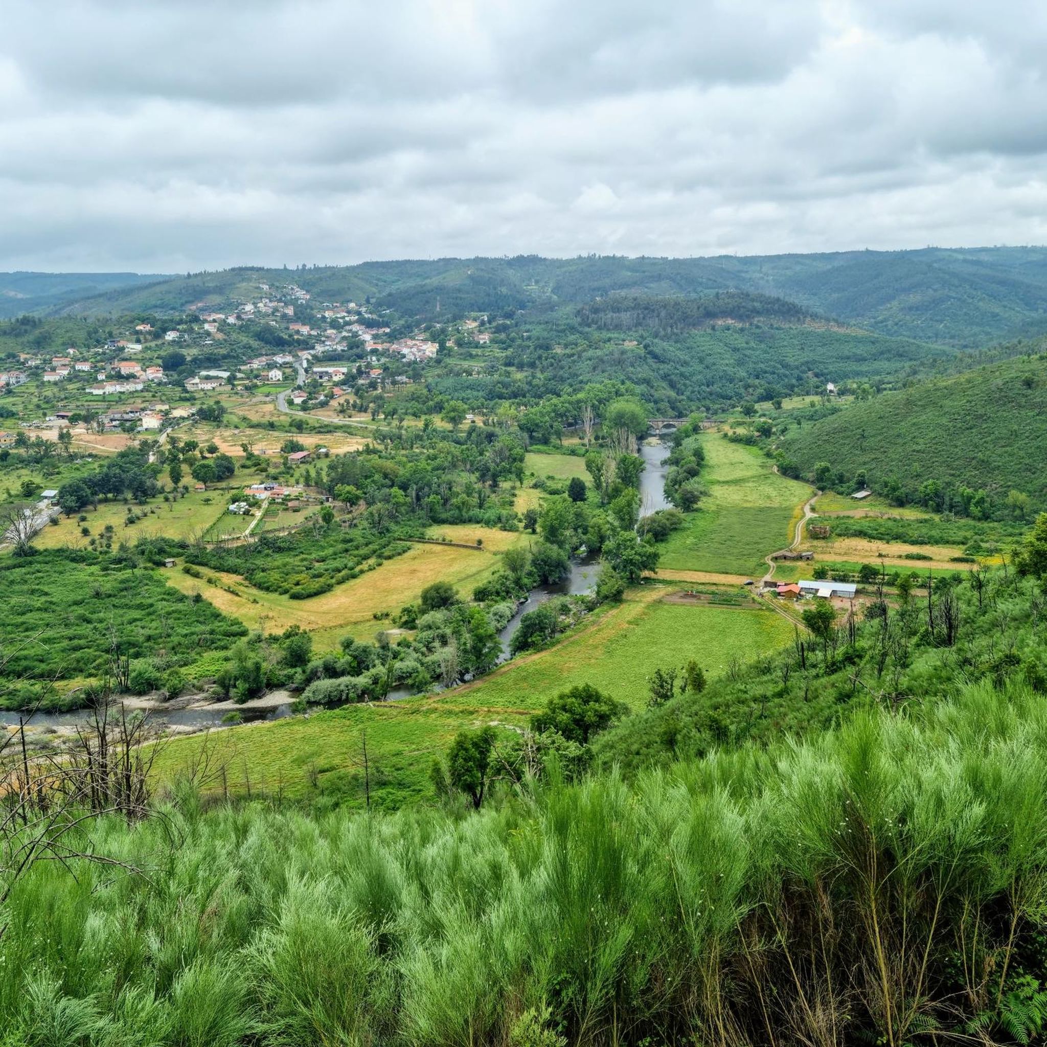
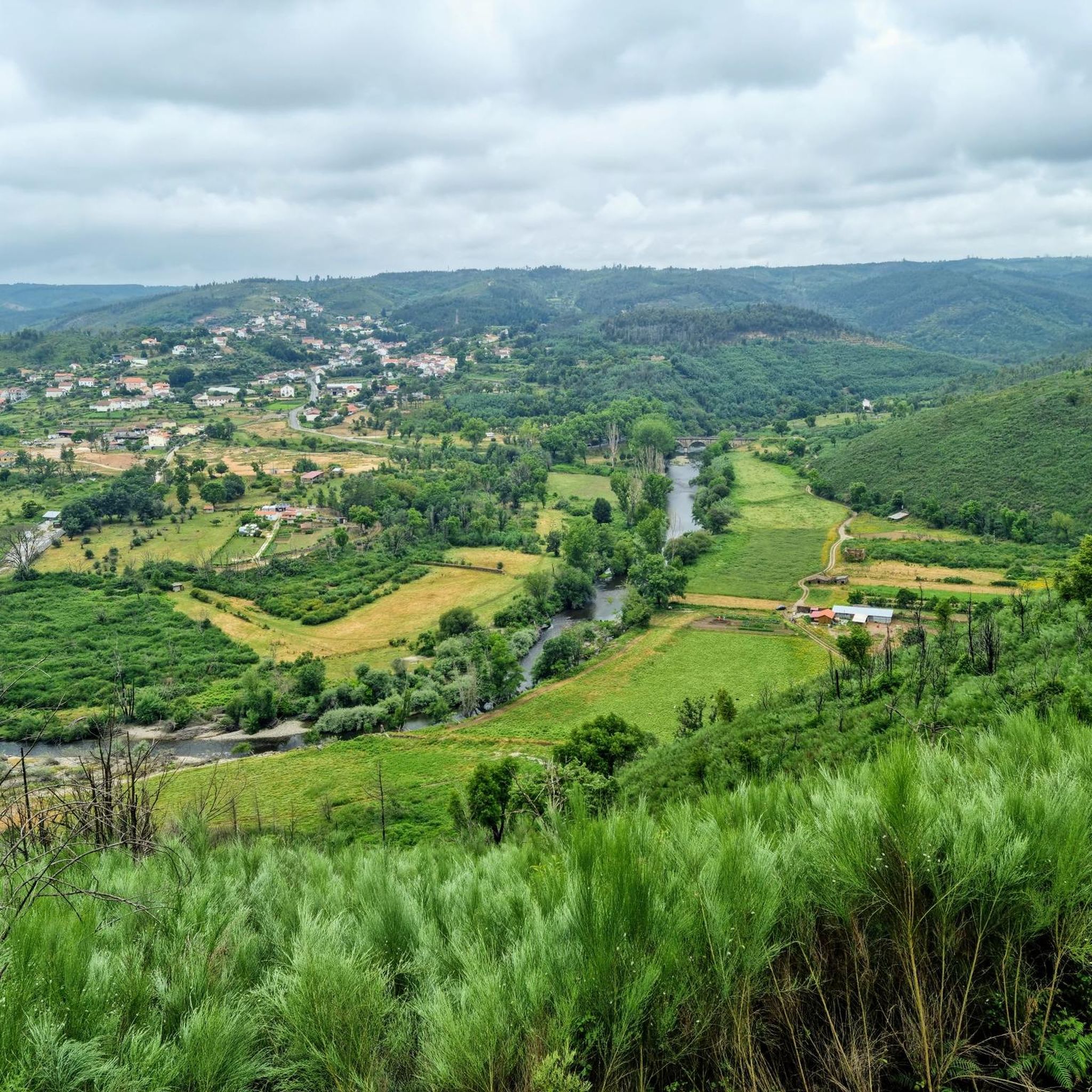
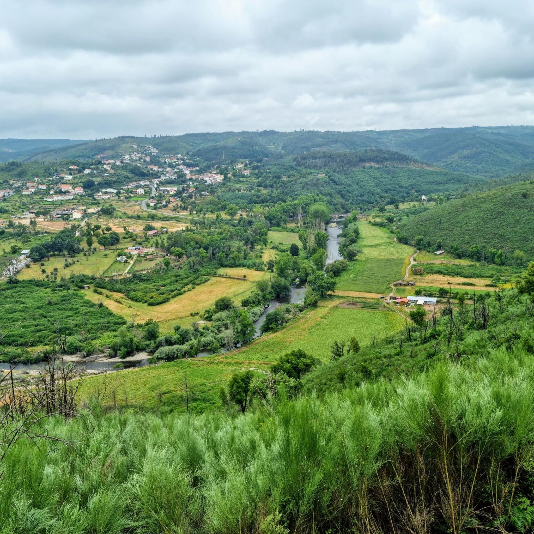
Nestled along the banks of the Alva River, Côja is immersed in a green environment, surrounded by mountains and forests. The village is characterized by traditional architecture, a charming Roman bridge and a peaceful atmosphere.
1
0
The Roman Bridge of Sumes, with its round arch, is a stone masonry structure measuring approximately 6.4 metres. It stands over the Cavalos River, in a natural setting, punctuated by enormous granite rocks and crisscrossed by dirt paths. This is where the fantastic Trilho dos Gaios begins (or ends), winding along the Cavalos River between several waterfalls and lush vegetation.
2
0
Monte do Colcurinho is an imposing peak of about 1,242 meters in the Serra do Açor, Portugal. It offers spectacular views that extend from the Serra da Estrela to much of central Portugal. In addition to its natural beauty, it is an important religious site, with a sanctuary dedicated to Nossa Senhora das Necessidades, a destination for annual pilgrimages. It is a place that combines breathtaking nature and deep spirituality.
0
0

The Roman Bridge of Sumes stands over the River des Chevaliers, shrouded in mystery. Although its foundations appear to be Roman, the exact date of its construction remains uncertain. An inscription reading "80 AD" found on a nearby wall suggests its origin, but some historians believe it refers to an ancient spring. In the surrounding area, traces of medieval paving can still be seen. Regardless of the bridge's uncertain age, it is classified as a Property of Public Interest, having witnessed centuries of history.
3
0
In summer, the river beach of Vale de Gaios becomes a little paradise for those looking to cool off. Its crystal-clear water, formed by the Cavalos River, a tributary of the Mondego, invites you to take a refreshing dip and spend long moments in the sun. On hot days, there is no better place to enjoy nature and recharge your batteries!
6
0
The colourful walkways of the Trilho dos Gaios start at the river beach of Vale de Gaios and lead you to the ancient Roman Bridge of Sumes. Along the way, you will pass by the winding banks of the Cavalos River, a wild tributary of the Mondego, which hides among the lush vegetation and moss-covered rocks, as if it were something out of a fairy tale. In some parts, it disappears completely under gigantic blocks of granite, with only the gentle murmur of the water revealing its presence.
4
0
Frequently Asked Questions
What kind of terrain can I expect on running routes in Barril De Alva?
Running routes in Barril De Alva are characterized by hilly terrain, river valleys, and rural paths. You'll encounter significant elevation changes, especially around Monte Colcurinho, offering both challenging climbs and descents. Paths often connect small villages and natural points of interest, providing a diverse running experience.
Are there any easy running routes suitable for beginners in Barril De Alva?
While many routes in Barril De Alva feature significant elevation, there are options that are less demanding. The Running loop from Secarias is a moderate 10 km (6.2 miles) path with less elevation gain compared to the more difficult mountain loops, making it a good choice for those looking for a less strenuous run.
Where can I find long-distance running trails in Barril De Alva?
For long-distance runners, the region offers challenging options. The Monte Colcurinho loop from Vale do Torno is a substantial 34.1 km (21.2 miles) route with over 1600 meters of elevation gain, providing a demanding and rewarding experience for endurance athletes.
Are there any circular running routes available?
Yes, many of the running paths in Barril De Alva are circular, allowing you to start and finish at the same point. Examples include the Monte Colcurinho loop from Casal Cimeiro and the Roman Bridge of Sumes – Vale de Gaios River Beach loop from Candosa, both offering scenic round trips.
What interesting landmarks or natural sights can I see along the running routes?
Several routes pass by notable attractions. You can run past the historic Roman Bridge of Sumes, explore the Colorful Boardwalks of the Trilho dos Gaios, or enjoy the tranquil setting of Vale de Gaios River Beach. For stunning views, look for routes offering a Panoramic View of Serra da Lousã.
Are there any routes that feature waterfalls?
Yes, if you're looking to incorporate a waterfall into your run, consider routes that pass near the Fraga da Pena Waterfall. While not directly on every running path, it's a significant natural attraction in the wider Barril De Alva area that can be combined with a run.
What is the best time of year to go running in Barril De Alva?
The region's climate generally allows for running throughout much of the year. Spring and autumn offer pleasant temperatures and vibrant landscapes. Summer can be warm, so early morning or late afternoon runs are advisable. Winter runs are possible, but be prepared for cooler temperatures and potentially wet conditions on some trails.
How many running routes are available in the Barril De Alva area?
There are currently 6 curated running routes available in the Barril De Alva area on komoot, ranging from moderate to difficult in intensity. These routes showcase the diverse terrain and natural beauty of the region.
What do other runners enjoy most about jogging in Barril De Alva?
Runners frequently praise the varied terrain and the opportunity to experience the area's natural beauty and local character. The challenging climbs, especially around Monte Colcurinho, are often highlighted for providing a demanding yet rewarding running experience with panoramic views.
Are there running routes that connect different villages or towns?
Many routes in Barril De Alva are designed to connect small villages and rural landscapes. For instance, the Côja loop from Côja e Barril de Alva allows you to explore the surroundings of these communities, offering a glimpse into local life while you run.
Most popular routes around Barril De Alva
Most popular attractions around Barril De Alva

Get inspired with the komoot mobile app


Explore more
Browse the best Running Trails & Routes in other regions.
