The best cycling routes around Gaspoltshofen
4.6
(101)
659
riders
45
rides
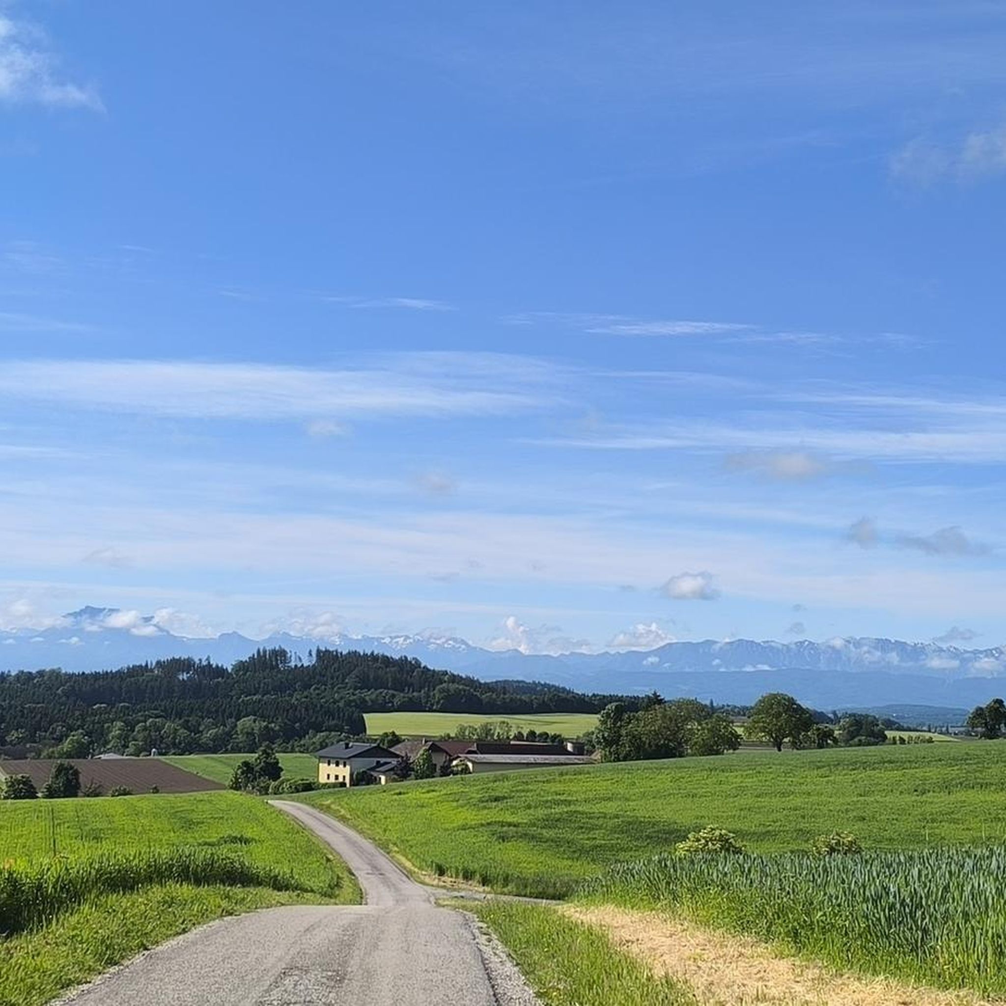
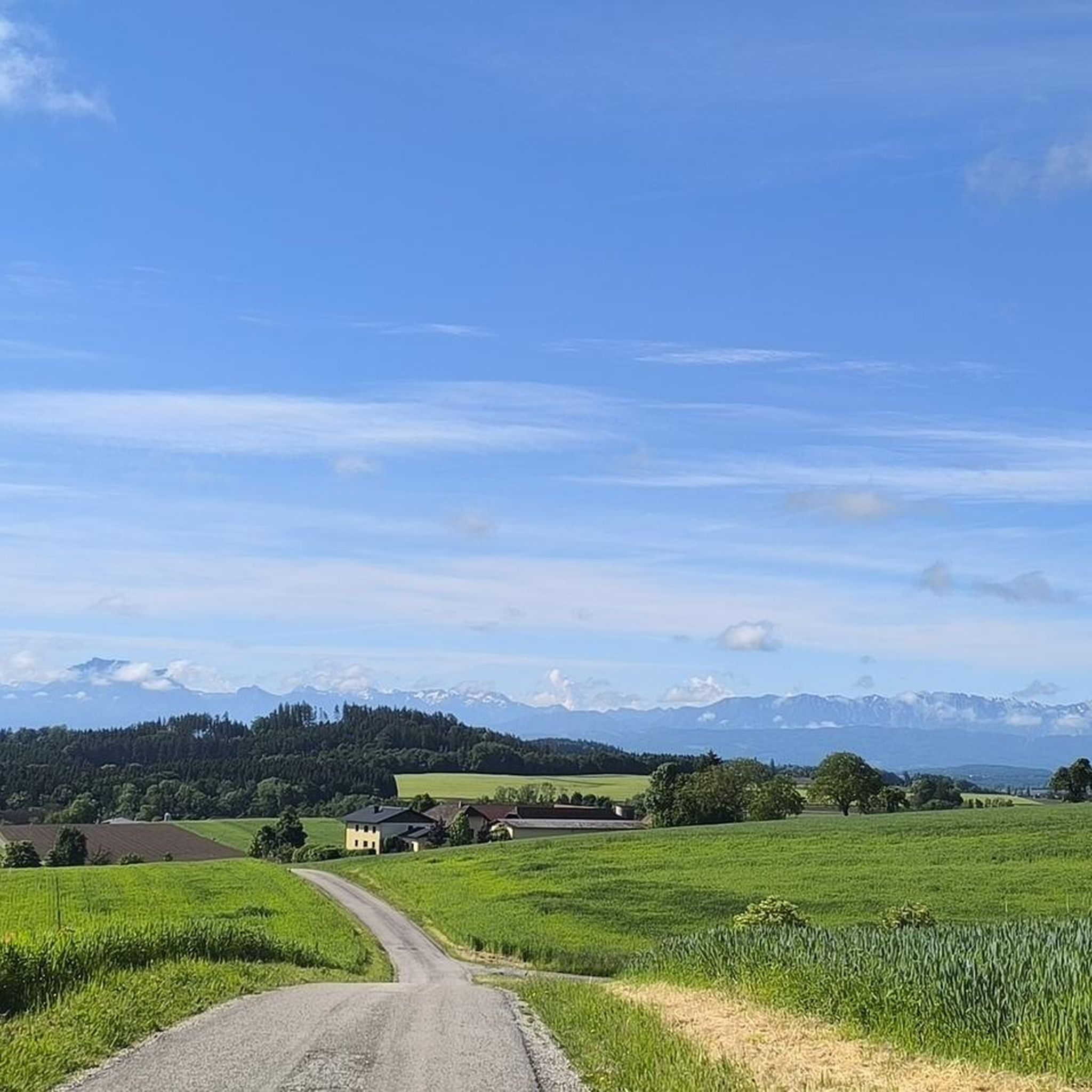
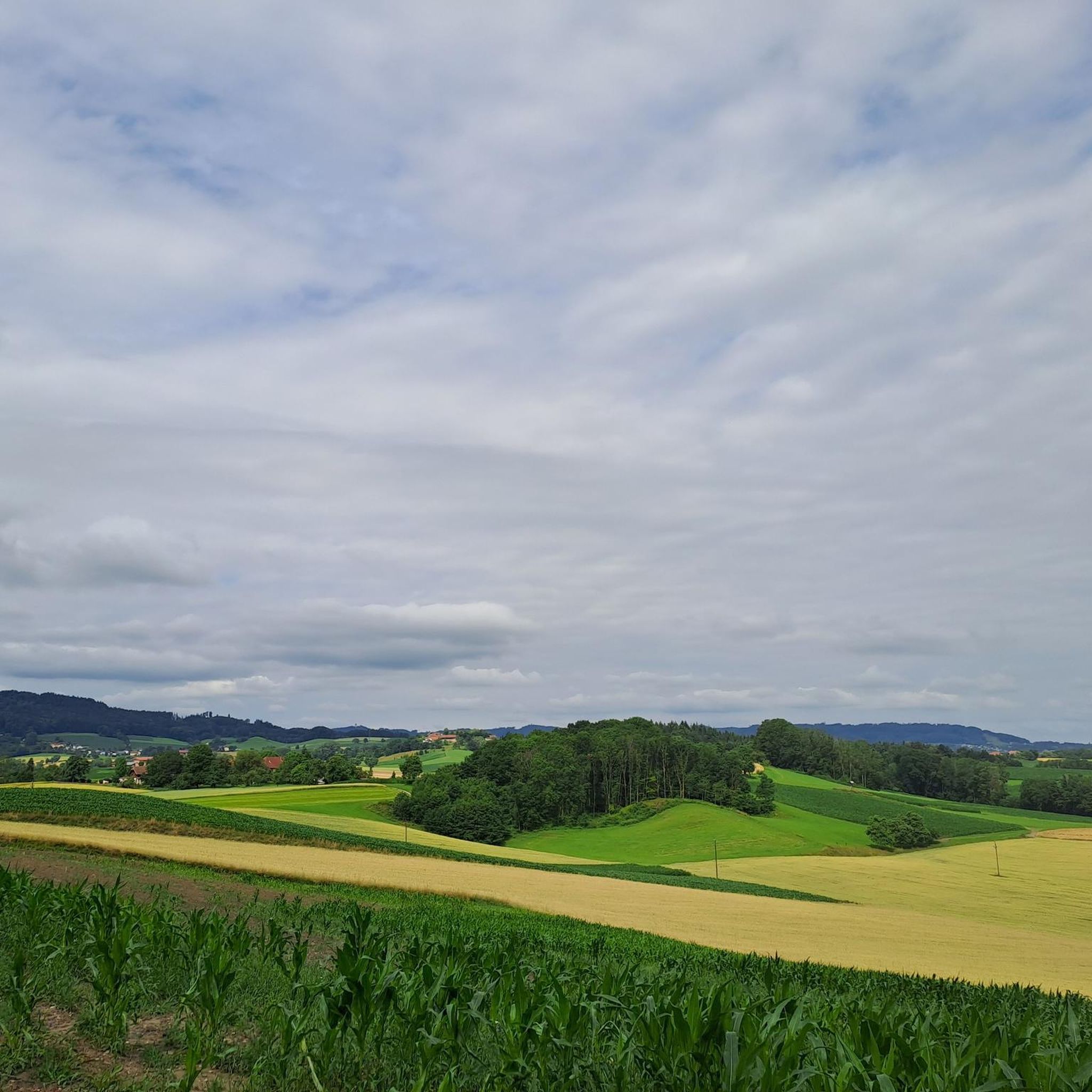
Touring cycling routes around Gaspoltshofen traverse a landscape characterized by picturesque rolling hills and the extensive Hausruck Forest in Austria's Grieskirchen district. The region offers diverse terrain, from gentle paths along riverbanks to more challenging routes through dense woodlands. This area provides a compelling destination for outdoor enthusiasts seeking varied cycling experiences.
Best touring cycling routes around Gaspoltshofen
- The most popular touring cycling route is Tratnach Stream – Malvent Snack Station loop from Altenhof am Hausruck, a 11.7 miles…
Last updated: August 25, 2026
4.6
(14)
133
riders
18.8km
01:09
190m
190m
Moderate bike ride. Good fitness required. Mostly paved surfaces. Suitable for all skill levels.
4.6
(34)
90
riders
51.7km
03:09
280m
280m
Moderate bike ride. Good fitness required. Mostly paved surfaces. Suitable for all skill levels.

Sign up for free
4.6
(5)
68
riders
43.7km
04:09
850m
850m
Hard bike ride. Very good fitness required. You may need to push your bike for some segments of this route.
4.4
(7)
52
riders
33.5km
02:20
640m
640m
Hard bike ride. Very good fitness required. Mostly paved surfaces. Suitable for all skill levels.
4.6
(9)
47
riders
25.6km
01:32
210m
210m
Moderate bike ride. Good fitness required. Mostly paved surfaces. Suitable for all skill levels.
Get access to more routes and recommendations from other explorers.
Sign up for free
Already have an account?
Our route recommendations are based on thousands of hikes, rides, and runs completed by other people on komoot.
Start today with a free account
Your next adventure awaits.
Login or Signup
Tips from the Community

Beautiful, very large complex that is excellently maintained!👍
0
0

I would have liked to name the highlight correctly, as can be read in the photo: Trattnachtal Radweg
0
0

The Haager Lies Cycle Path is an impressive cycling and walking path in Austria that runs along a former railway line. Here are some interesting facts about this cycle path: 1. Route Length: - The cycle path stretches over 22 km and offers a scenic route through the region. 2. Start and End Points: - The route begins in Neukirchen bei Lambach and continues to Haag am Hausruck. 3. Difficulty: - The cycle path is considered difficult because it may contain sections with loose ground that are difficult to navigate. A good level of fitness is required. 4. Elevation Gains: - The tour includes up to 450 meters of elevation gain, making it a challenging but rewarding experience. 5. Nature Experience: - The cycle path leads through a beautiful landscape characterized by forests, meadows, and picturesque views. 6. **Duration**: - The average cycling time is approximately **1 hour and 35 minutes**, depending on individual fitness and breaks. The Hague Lies Cycle Route is therefore an ideal destination for cyclists and nature lovers who want to enjoy the beauty of nature.
0
0

Short break at the Trattnach, you can also cool your feet in the river.
3
0

The view is currently obscured by trees. Nevertheless, there are beautiful spots along the way to enjoy the panoramic view.
1
0
The route over the Hausruck should only be chosen by those with experience and sufficient fitness. On some sections, it will be necessary to push/lift
0
0

Nice excursion history coal Hausruckwald
0
0

Kohlgrube, the mining colony in the municipality of Wolfsegg am Hausruck, can be considered the nucleus of lignite mining in the Hausruck region, as mining activities have been documented here since 1776. Kohlgrube once had over 1,000 inhabitants, most of whom were directly or indirectly employed in the mining industry. After the eastern mining area was exhausted, mining in Kohlgrube ceased in 1964. To the south of Kohlgrube lies the Lorenz Tunnel, a small exhibition tunnel. Next to it is an information board with an overview map of the Kohlgrube mining facilities – unfortunately, it is already difficult to read. This tunnel portal, however, is a demonstration tunnel and not the original entrance, which has likely suffered the fate of many entrances here – it is likely dilapidated and forgotten. The tunnel is named after the former mining director of Kohlgrube, Wenzl Lorenz (1818-1871). Around the Kohlgrube mining colony, located in a depression, there were numerous tunnels in which lignite was mined and transported on two 580 mm gauge coal railways. The coal was transported to the Kohlgrube crusher (from the coal railways via a cable car), where it was crushed and sorted. The coal was then transported on the 1,106 mm gauge coal railway (like a horse-drawn railway) via Wufing (tunnel) to Breitenschützing, where it was transferred to the Empress Elisabeth Railway (now the Western Railway line).
0
0
Frequently Asked Questions
How many touring cycling routes are available around Gaspoltshofen, and what are their difficulty levels?
There are over 50 touring cycling routes in the Gaspoltshofen area. You'll find a good mix of challenges, with about 6 easy routes, 32 moderate routes, and 15 more difficult options to explore the rolling hills and forests.
What kind of terrain and elevation can I expect on touring cycling routes near Gaspoltshofen?
The terrain around Gaspoltshofen is characterized by picturesque rolling hills and the extensive Hausruck Forest. You can expect varied routes, from gentle paths along riverbanks, such as the Tratnach Stream – Malvent Snack Station loop, to more challenging routes with significant elevation changes through dense woodlands, like the Lederkopf Viewpoint – Trattnach Spring loop, which features over 850 meters of ascent.
What is the best time of year to go touring cycling in Gaspoltshofen?
The region is ideal for touring cycling during spring, summer, and autumn. The weather is generally mild, and nature is vibrant, offering beautiful scenery as you cycle through the rolling hills and Hausruck Forest.
Are there family-friendly touring cycling routes in the Gaspoltshofen area?
Yes, Gaspoltshofen offers routes suitable for families. Many paths along riverbanks or former railway tracks, like sections of the 'Haager Lies' bike path, provide pleasant and less challenging rides. Look for routes categorized as 'easy' for the most family-friendly options.
What interesting landmarks or attractions can I discover along touring cycling routes in Gaspoltshofen?
You can combine your cycling with visits to several attractions. Consider stopping at Lambach Abbey, a historic Benedictine Abbey, or the unique Klangstamm on the Haager Lies Cycle Path. The Haag am Hausruck Market Square is also a notable stop with inns and an e-bike charging station.
Are there any routes with scenic viewpoints in the Gaspoltshofen region?
Absolutely. The region's rolling hills offer several opportunities for scenic views. The Luisenhöhe Observation Deck near Haag am Hausruck provides expansive vistas. Additionally, routes like the View of the Alps – Wolfsegg Mountain Panorama loop offer stunning panoramas, including views of the Upper Austrian northern Alpine ridge.
Are there places to stop for refreshments or food along the touring cycling routes?
Yes, you'll find several options for refreshments. The Haag am Hausruck Market Square has inns, and the Steckerlfisch Grill Harald Wenk is a popular, idyllically located destination for cyclists. Lambach Abbey also features a monastery restaurant.
Where can I find parking for touring cycling routes in Gaspoltshofen?
While specific parking spots for every route aren't listed, many routes start from villages or towns like Gaspoltshofen, Altenhof am Hausruck, or Untergmain, where public parking is generally available. For routes along the 'Haager Lies' bike path, parking can often be found near the former railway stations or trailheads.
What do other touring cyclists enjoy the most about touring cycling in Gaspoltshofen?
The area is highly rated by the komoot community, with an average score of 4.7 stars from over 80 reviews. Cyclists often praise the diverse terrain, from quiet river paths to challenging forest climbs, and the well-marked trails that allow for varied experiences through the picturesque rolling hills and the Hausruck Forest.
Are there circular touring cycling routes available in Gaspoltshofen?
Yes, many touring cycling routes in Gaspoltshofen are designed as loops, allowing you to start and end in the same location. Examples include the Trattnachtal Educational Trail – Bad Schallerbach Spa Park loop and the Trattnach River – Malvent Snack Station loop. A circular route of approximately 24 km also starts from the Luisenhöhe valley station.
Is public transport accessible for cyclists in Gaspoltshofen?
The region supports cycling, and while specific public transport links for bikes aren't detailed for every route, Gaspoltshofen is a village in the Grieskirchen district, which typically has regional bus services. It's advisable to check local public transport schedules and bike carriage policies for specific routes if you plan to use them to access trailheads.
Are there any specific natural features or monuments to look out for?
Beyond the Hausruck Forest and rolling hills, you can explore natural monuments like the Lederer Kopf Summit or the Krailberg Summit Cross (504 m). The Ödberg, at 692 meters, is the highest point in the community and offers worthwhile views of the northern Alpine ridge.
Most popular routes around Gaspoltshofen
Most popular attractions around Gaspoltshofen

Get inspired with the komoot mobile app


Explore more
Browse the best Cycling routes in other regions.
