The best walks and hikes around Martim Longo
4.4
(77)
214
hikers
19
hikes
Hiking trails around Martim Longo offer exploration within the eastern Algarve region of Portugal, characterized by its serene rural landscapes and the Serra do Caldeirão mountains. This area features diverse terrain, including hilly elevations and valleys shaped by waterways like the Ribeiras de Odeleite and Vascão. The natural environment provides a tranquil setting for outdoor activities, with traditional villages serving as trailheads.
Best hiking trails around Martim Longo
- The most popular hiking route is Masmorra Trail, a 3.4 miles…
Last updated: June 27, 2026
4.5
(11)
29
hikers
5.44km
01:32
110m
110m
Explore the easy 3.4-mile Antas da Masmorra circular route, featuring ancient megaliths and rural Algarve landscapes near Mealha.
4.8
(11)
25
hikers
13.0km
03:41
300m
300m
Moderate hike. Good fitness required. Easily-accessible paths. Suitable for all skill levels.

Sign up for free
4.4
(8)
19
hikers
16.6km
04:45
390m
390m
Hike the moderate Dom Quixote — circular route (PR1 TVR) for 10.3 miles (16.6 km) through varied Algarve landscapes and rural charm.
4.8
(8)
16
hikers
9.65km
02:42
180m
180m
Hike the moderate 6.0-mile Antas das Pedras Altas Trail to discover ancient megalithic monuments and panoramic views in Portugal's Algarve r
5.0
(3)
6
hikers
13.8km
04:00
360m
360m
Moderate hike. Good fitness required. Easily-accessible paths. Suitable for all skill levels.
Get access to more routes and recommendations from other explorers.
Sign up for free
Already have an account?
Our route recommendations are based on thousands of hikes, rides, and runs completed by other people on komoot.
Start today with a free account
Your next adventure awaits.
Login or Signup
Popular around Martim Longo
Tips from the Community

Vaqueiros is a small parish in the municipality of Alcoutim. It is a very peaceful place, where several hiking trails in the region begin. Like other villages in the Algarve, the population of Vaqueiros has decreased significantly over the years, further highlighting its bucolic and peaceful atmosphere.
0
0

After about 5 km the signage was unclear and wanted to lead us back. We decided on a route that seemed logical to us. Ultimately it was not possible to get back to the route (no internet reception), so we walked up and down the mountains until we came across an inhabited house, completely exhausted, whose friendly residents drove us to Baixas Casas, our starting point. We would never have managed the 10 km through the deserted mountains on foot. Never again!
0
0
Secluded villages, centuries-old plantations and untouched nature. From this point on the road it is possible to admire a classic landscape of the Algarve interior region.
1
0
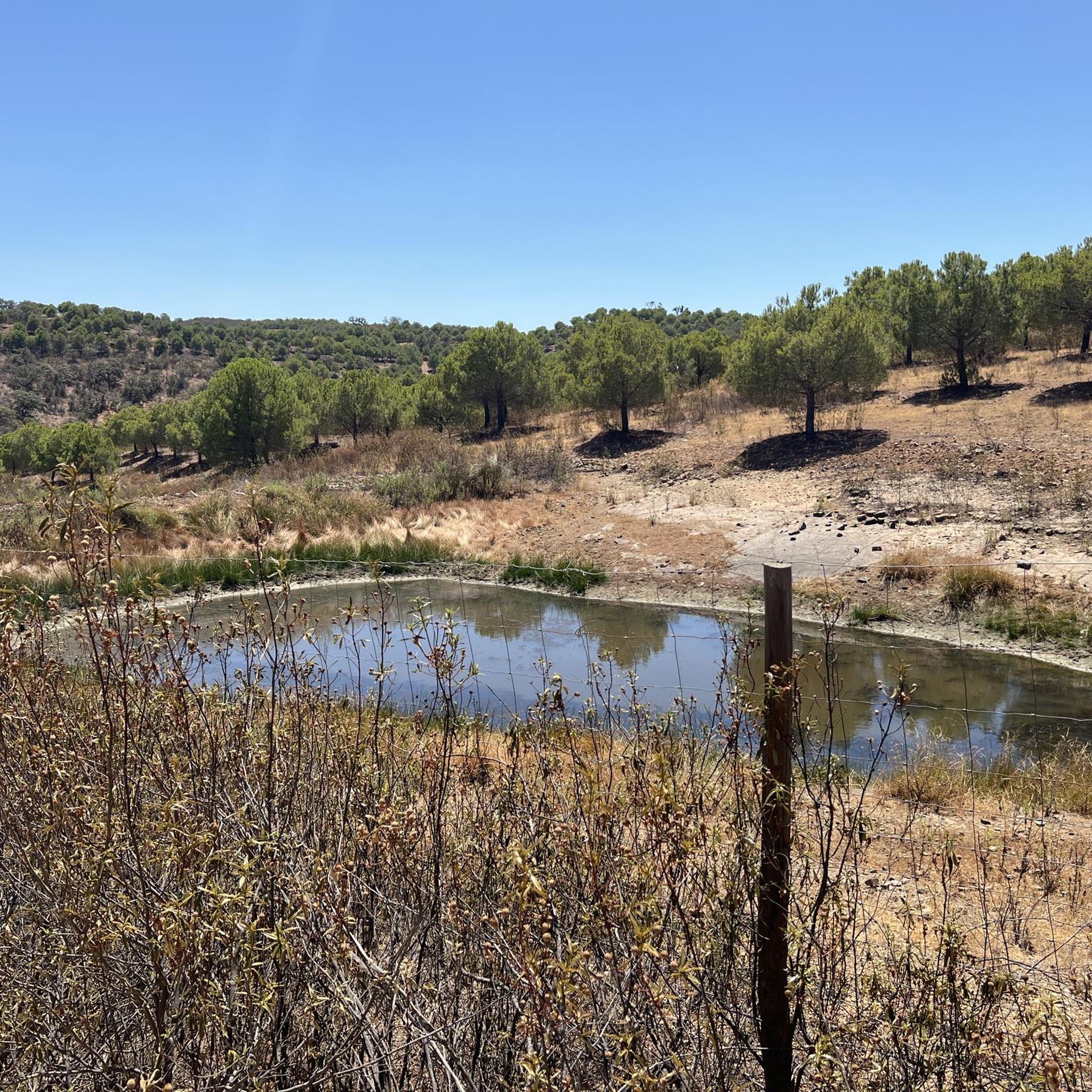
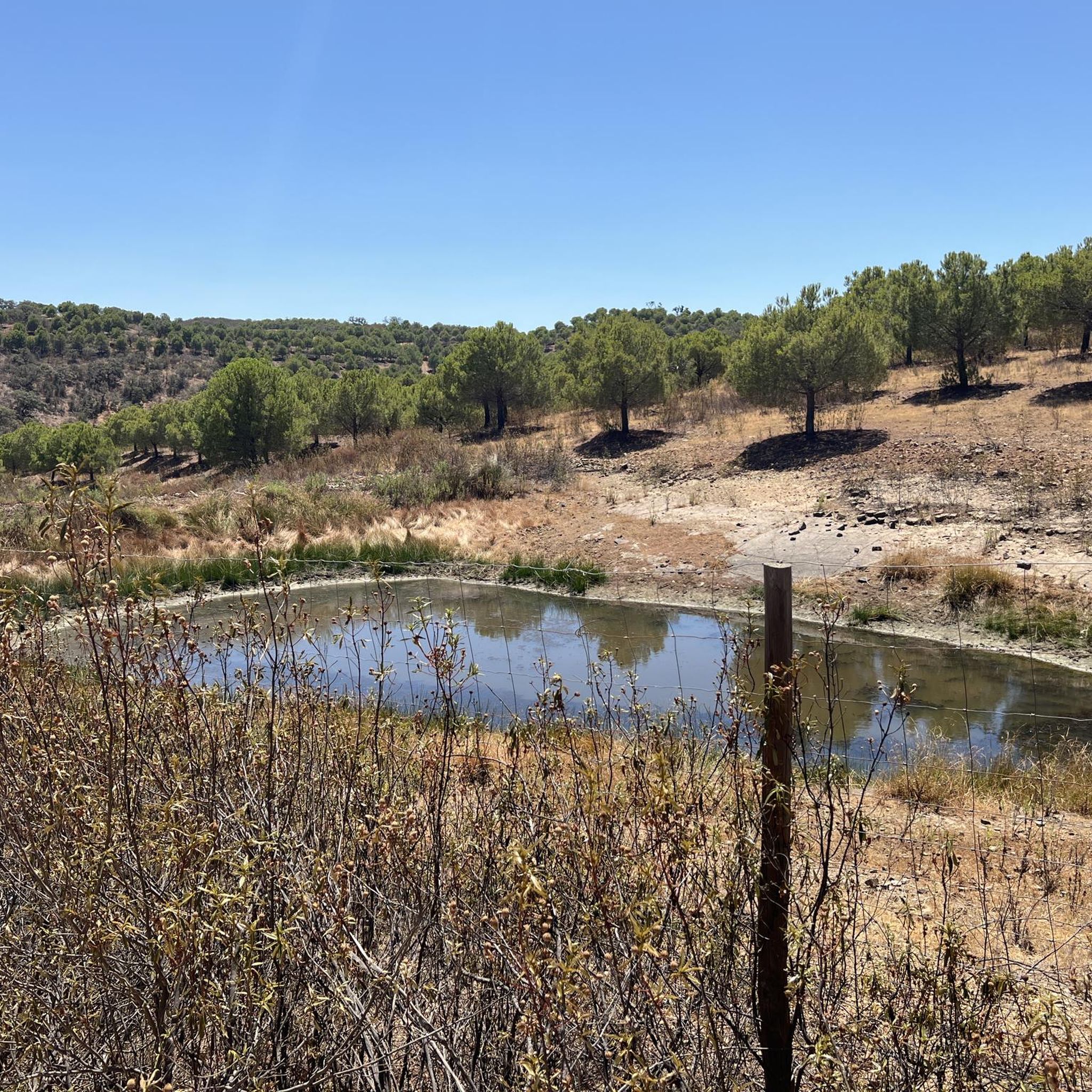
Fed by the Barranco das Hortas reservoir, the Vaqueiros reservoir is the largest artificial lake in the region. The main purpose of building the dam was to supply water to the local agricultural sector. There is a small picnic area on its shore.
1
0
Secluded villages, lush green vegetation and lots of sun. From this point it is possible to admire a classic landscape of the Algarve interior region.
0
0
The Don Quixote Route passes along the asphalt road for a few kilometers. In this section there is a clear display of the Algarve's undulating terrain, in addition to the beautiful surrounding landscapes.
0
0
Secluded in the middle of the Algarve hills is Barranco da Junqueira. The small river is one of the watercourses that flows into the Odeleite Reservoir. The conditions for crossing it vary depending on its volume, which varies greatly throughout the year.
0
0
Anta da Masmorra, also known as Anta do Cerro da Masmorra, is a megalithic monument located in the parish of Cachopo. It was studied in the 1970s, and the structure indicates that it dates from the late Neolithic or Chalcolithic. It is associated with other archaeological sites in the region, such as Dungeon 2 and Dungeon 3.
2
0
Frequently Asked Questions
How many hiking trails are available around Martim Longo?
Martim Longo offers a network of nearly 20 hiking trails. These routes cater to various fitness levels, with 8 classified as easy and 11 as moderate, providing diverse options for exploration within the serene rural landscapes of the Serra do Caldeirão.
Are there any easy hiking trails suitable for beginners in Martim Longo?
Yes, Martim Longo has several easy trails perfect for beginners. A great option is the Masmorra Trail, which is 3.4 miles (5.4 km) long and takes about 1 hour 30 minutes to complete. It offers a gentle introduction to the region's natural beauty.
What kind of terrain can I expect on Martim Longo's hiking trails?
The hiking trails around Martim Longo primarily feature the hilly terrain of the Serra do Caldeirão. You can expect varied landscapes with ascents and descents, often passing through peaceful rural settings and alongside waterways like the Ribeiras de Odeleite and Vascão. The paths are generally well-suited for walking, offering a tranquil outdoor experience.
Are there any circular hiking routes in Martim Longo?
Yes, Martim Longo offers several circular routes. A popular choice is the Hill up, Hill down — circular route (PR7), an 8.1-mile (13.0 km) moderate path that provides varied terrain with ascents and descents through the local hills. Another excellent option is In Search of the Enchanted Valley — circular route (PR8 ACT), a moderate 8.5-mile (13.8 km) trail.
What natural features or landmarks can I see while hiking in Martim Longo?
Hikers in Martim Longo can discover various natural features and historical landmarks. You might encounter the tranquil waters of Albufeira do Pereiro, which offers a pleasant picnic area. Other points of interest include the ancient Anta da Masmorra and the Anta das Pedras Altas, both historical sites. The region is also home to significant natural elements like the Ribeiras de Odeleite and Vascão, and you might spot a majestic Cork oak.
Are there any family-friendly hiking options in Martim Longo?
Martim Longo's peaceful rural setting and network of easy trails make it suitable for family outings. The Masmorra Trail is an easy, shorter option that families can enjoy together. The traditional villages like Vaqueiros also serve as charming starting points for gentle walks.
What do other hikers say about the trails in Martim Longo?
The hiking routes in Martim Longo are highly regarded by the komoot community, holding an average rating of 4.4 stars from over 70 reviews. Hikers often praise the peaceful rural settings, the diverse terrain of the Serra do Caldeirão, and the scenic waterways that define the area's natural charm.
Is there a trail that offers a good overview of the rural countryside?
For a comprehensive experience of the rural countryside, consider the Don Quixote Trail. This moderate 10.3-mile (16.6 km) route leads through the heart of the region's tranquil landscapes, typically taking about 4 hours 45 minutes to complete.
Are there any historical sites to explore on the trails?
Yes, the Martim Longo area has historical sites integrated into its trails. For example, the Antas das Pedras Altas Trail is a moderate 6-mile (9.6 km) route that passes by the ancient Anta das Pedras Altas, offering a glimpse into the region's past.
What is the best time of year to go hiking in Martim Longo?
Martim Longo, located in the Algarve region, generally experiences mild winters and hot summers. The spring and autumn months are often ideal for hiking, offering pleasant temperatures and vibrant natural scenery. During these seasons, the weather is typically comfortable for longer excursions, allowing you to fully enjoy the peaceful rural environment.
Are there places to eat or get refreshments near the hiking trails?
Yes, traditional villages like Vaqueiros and Ameixial, which often serve as trailheads, provide amenities. You can find places like Montinho do Lobo for a meal or the Tradição da Serra Snack Bar for refreshments, offering convenient stops before or after your hike.
Most popular routes around Martim Longo
Most popular attractions around Martim Longo

Get inspired with the komoot mobile app


Explore more
Browse the best Hikes in other regions.
