The best walks and hikes around Pereiro
4.6
(313)
1,032
hikers
47
hikes
Hiking around Pereiro offers a diverse landscape characterized by rolling hills, river valleys, and open countryside. The region, including areas like Monte do Pereiro, features a mix of agricultural land and natural spaces, often with views towards the Guadiana River. Trails frequently pass by historical markers such as menhirs and local reservoirs, providing varied scenery for hikers.
Best hiking trails around Pereiro
- The most popular hiking route is Slopes of Pontal do Rio Guadiana — circular route (PR2), a…
Last updated: July 4, 2026
4.2
(6)
28
hikers
13.0km
03:38
260m
260m
Moderate hike. Good fitness required. Easily-accessible paths. Suitable for all skill levels.
4.4
(10)
30
hikers
6.16km
01:39
70m
70m
Easy hike. Great for any fitness level. Easily-accessible paths. Suitable for all skill levels.

Sign up for free
4.4
(11)
23
hikers
8.89km
02:31
190m
190m
Moderate hike. Good fitness required. Easily-accessible paths. Suitable for all skill levels.
4.1
(8)
19
hikers
12.8km
03:26
160m
160m
Moderate hike. Good fitness required. Easily-accessible paths. Suitable for all skill levels.
5.0
(3)
9
hikers
8.13km
02:16
150m
150m
Moderate hike. Good fitness required. Easily-accessible paths. Suitable for all skill levels.
Get access to more routes and recommendations from other explorers.
Sign up for free
Already have an account?
Our route recommendations are based on thousands of hikes, rides, and runs completed by other people on komoot.
Start today with a free account
Your next adventure awaits.
Login or Signup
Popular around Pereiro
Tips from the Community

Furnazinhas is a charming mountain retreat, where time seems to have slowed down. The town remains faithful to the traditions and way of life of the Algarve's interior, proudly preserving its authentic soul.
1
0
High on a hill near Afonso Vicente, stand the Lavajo Menhirs, Neolithic stone sentinels that have guarded the silence of this valley for over five thousand years. Carved in greywacke and engraved with circles and dimples, these monoliths seem to align themselves in an ancient mystery. Recovered and restored in 2004, they have returned to their original location, inviting passersby to imagine a time when the stone spoke to the sun.
2
0

In Furnazinhas the 3rd walk of the Via Algarviana starts. After crossing this village in a northerly direction, the route leads you along a steep landscape with fallow land, meadows, vast sun rose fields and here and there a vegetable garden that is still in use. The pronounced relief is broken by several streams.
1
1

A very secluded place in the heart of the Algarve. It is a group of houses with a fountain - hence the name of the place, Fonte Zambujo Cima.
0
0
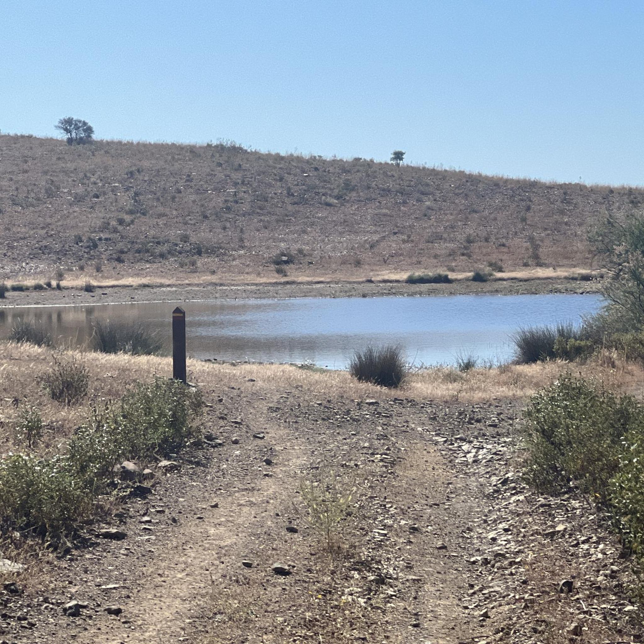
Albufeira do Pereiro is a small body of water next to the village of the same name. On the bank opposite this point there is a picnic area, camping area and parking lot.
1
1
Bularco de Baixo is a small village where the route towards the Guadiana River begins. There is little to do there, besides the parking lot, water fountain and the occasional place to buy a few things.
1
0
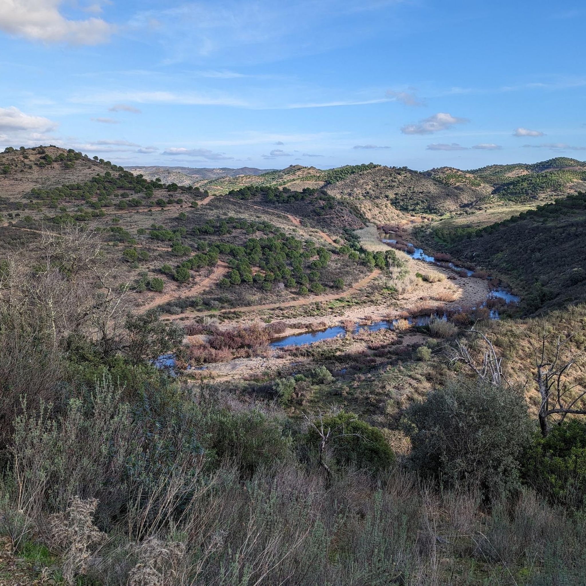
At the eastern end of the route, the road follows the Guadiana River. In this same area there is the Miradouro do Pontal. From here you have a beautiful and privileged view of Rio. Great stopping point before starting the return journey.
3
1
This is a stretch of dirt road that leads to the Guadiana River. The route passes through hills and, at each section, there are views of the entire region. Very peaceful.
2
0
Frequently Asked Questions
How many hiking trails are there in Pereiro?
Pereiro offers a wide range of hiking opportunities, with over 45 trails available. These routes cater to various skill levels, including easy, moderate, and a few more challenging options.
Are there easy hikes suitable for beginners or families in Pereiro?
Yes, Pereiro has 16 easy hiking routes. A great option is the Lavajo Menhirs – Shamwari Hilltop Retreat loop from Vascão, an easy 3.8-mile (6.2 km) path that takes you through open landscapes and past ancient menhirs, perfect for a relaxed outing.
What kind of terrain can I expect on Pereiro's hiking trails?
The hiking trails around Pereiro feature diverse terrain, characterized by rolling hills, river valleys, and open countryside. You'll often find a mix of agricultural land and natural spaces, with some routes offering views towards the Guadiana River.
Are there any circular walks available in Pereiro?
Yes, many of the trails in Pereiro are circular, allowing you to start and end at the same point. An example is the Slopes of Pontal do Rio Guadiana — circular route (PR2), a moderate 8.1-mile (13.0 km) trail offering scenic views of the river valley.
What can I see along the hiking trails in Pereiro?
Pereiro's trails often pass by interesting historical markers and natural features. You can encounter ancient menhirs like the Lavajo Menhirs, local reservoirs, and enjoy scenic viewpoints such as Pontal Viewpoint overlooking the Guadiana.
Are there any challenging hikes in Pereiro?
While most trails are easy to moderate, Pereiro does offer 3 more difficult routes for experienced hikers. These routes typically feature greater elevation changes and longer distances, providing a more strenuous experience.
What do other hikers enjoy most about hiking in Pereiro?
The hiking experience in Pereiro is highly rated by the komoot community, with an average score of 4.6 stars from over 260 reviews. Hikers often praise the varied scenery, the blend of natural and historical sites, and the well-maintained paths.
When is the best time of year to hike in Pereiro?
The best time to hike in Pereiro is typically during spring (March to May) and autumn (September to November) when the weather is mild and pleasant. Summers can be very hot, and winters are generally mild but can be rainy.
Are there any trails that pass by water features or reservoirs?
Yes, some routes incorporate water features. For instance, the Albufeira do Pereiro – Fonte Zambujo Cima loop from Pereiro is a moderate trail that takes you past the Albufeira do Pereiro reservoir, offering pleasant views.
Are there any historical sites or landmarks to explore near the trails?
Absolutely. The region is rich in history. Besides the Lavajo Menhirs, you can find historical castles like Castelo Velho de Alcoutim and Castelo de Alcoutim, which are accessible from some of the wider trail networks or nearby.
How long do hikes around Pereiro typically take?
Hikes in Pereiro vary in duration depending on the route's length and difficulty. Easy trails like the Lavajo Menhirs loop can take around 1.5 to 2 hours, while moderate routes such as the Slopes of Pontal do Rio Guadiana can take approximately 3.5 hours.
Are there any trails that offer good viewpoints?
Many trails in Pereiro offer excellent viewpoints, particularly those that traverse the rolling hills and river valleys. The Pontal Viewpoint is a notable spot, providing expansive views of the surrounding landscape and the Guadiana River.
Most popular attractions around Pereiro

Get inspired with the komoot mobile app


Explore more
Browse the best Hikes in other regions.
