The best cycling routes around Panoias De Cima
4.7
(4)
76
riders
23
rides
Best cycling routes Panoias De Cima are found within a region characterized by its diverse terrain and scenic landscapes. The area features the Mondego River winding through steep valleys, offering expansive views from points like the Alto Mondego Viewpoint. Touring cyclists can explore historical elements such as a Roman castro, adding a cultural dimension to rides. The broader Guarda district, where Panoias De Cima is located, provides a range of cycling routes with varying terrains and elevation gains.
Best touring…
Last updated: May 16, 2026
4.3
(3)
14
riders
48.7km
04:01
1,000m
1,000m
Hard bike ride. Very good fitness required. Mostly paved surfaces. Suitable for all skill levels.
7
riders
45.7km
03:45
610m
610m
Hard bike ride. Very good fitness required. You may need to push your bike for some segments of this route.

Sign up for free
5
riders
130km
09:40
2,820m
2,820m
Hard bike ride. Very good fitness required. Mostly paved surfaces. Suitable for all skill levels.
5
riders
64.6km
04:23
970m
970m
Hard bike ride. Very good fitness required. Mostly paved surfaces. Suitable for all skill levels.
6
riders
52.6km
04:29
890m
890m
Hard bike ride. Very good fitness required. Mostly paved surfaces. Suitable for all skill levels.
Get access to more routes and recommendations from other explorers.
Sign up for free
Already have an account?
Our route recommendations are based on thousands of hikes, rides, and runs completed by other people on komoot.
Start today with a free account
Your next adventure awaits.
Login or Signup
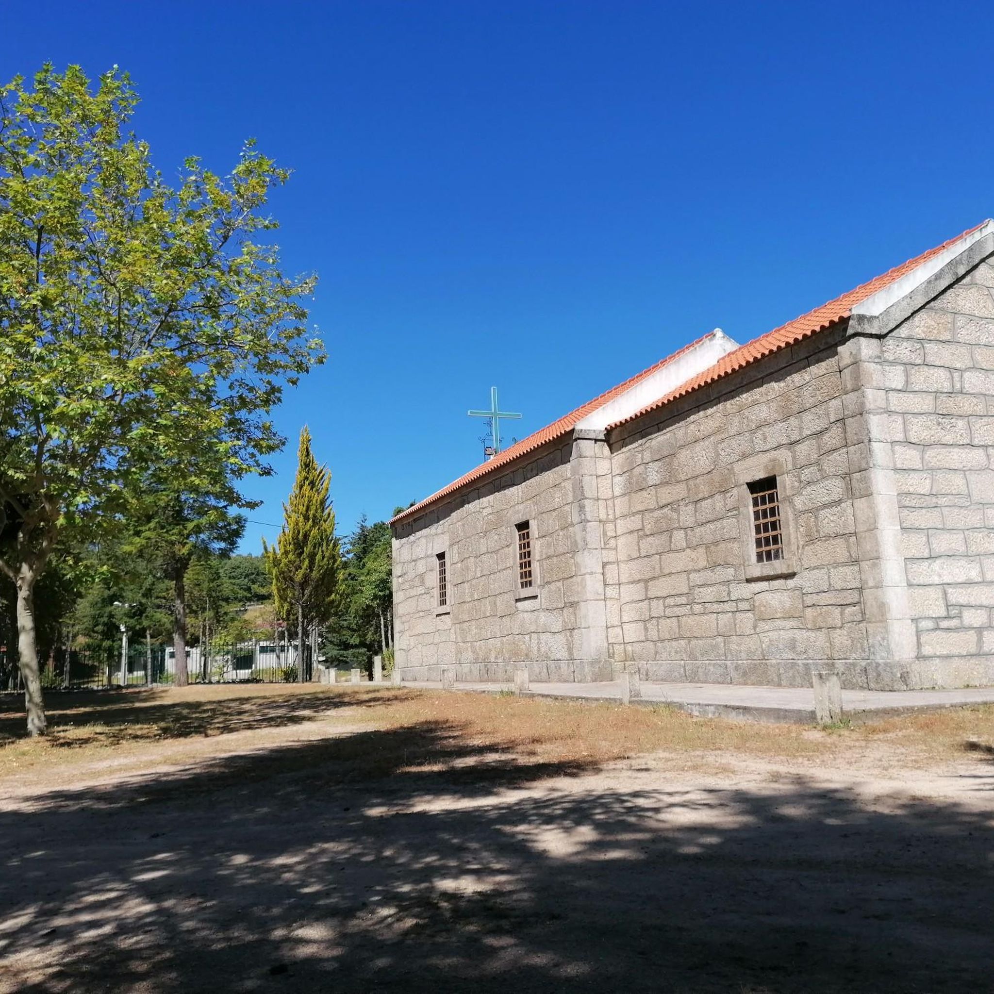
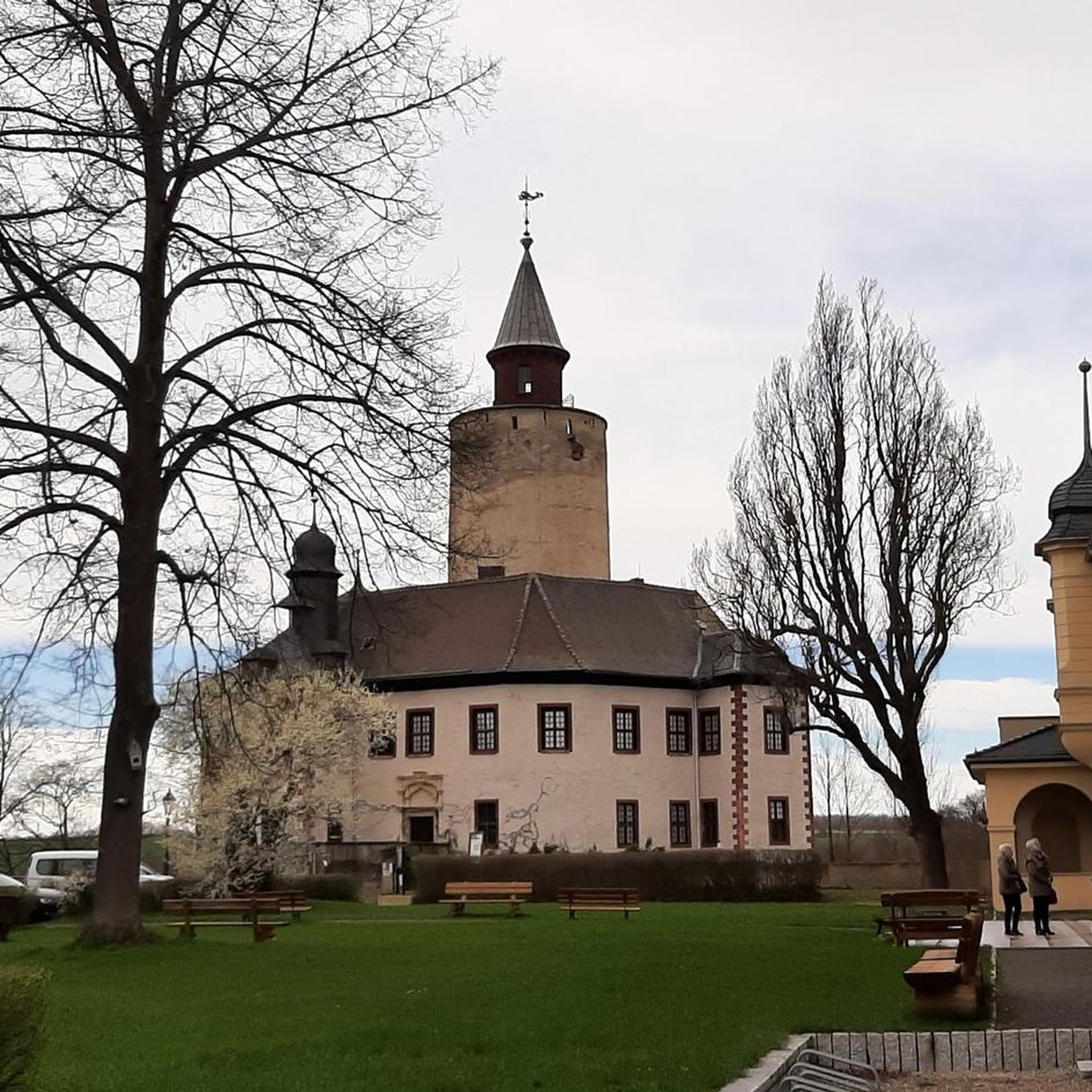


Tips from the Community

Valhelhas was born among verdant hills, sheltered in the sunny Zêzere valley. Today, it's synonymous with perfect summer: one of the largest river beaches in Beira Interior, with crystal-clear waters, generous shade, and all the support for leisurely days. But the village of this "small valley," a translation of Vallicula, its Roman name, holds more than just freshness: from the 16th-century pillory to the Philippine Bridge, passing through chapels, a church, and the ruins of the old castle, every corner tells a piece of history. And, of course, there are flavors worth the trip in any season: goat, Guarda sausages, Zêzere trout, requeijão (curd cheese), and the unmistakable Serra da Estrela cheese.
1
0

The Serra da Estrela Natural Park is something truly special. This 1,000-square-kilometer park, spread across six municipalities, was the first and currently the largest protected natural park in Portugal. It is home to the highest point on the Portuguese mainland, the country's only ski slope, the source of two important rivers, and a fascinating, alpine-like landscape formed by glaciers.
5
1

At exactly 1993 meters above sea level, Torre is the highest point in mainland Portugal, where the only ski resort is located. The landscape on the upper plateau of the Serra da Estrela is like a sprinkling of granite rocks over low scrub and patches of snow and ice, which the sun threatens to melt soon in the summer and which always returns the following winter. In winter, it sometimes becomes inaccessible.
6
0

A tough return! But great landscapes!
1
0

We were lucky with the weather, bright sunshine. There was still a lot of snow in May, children were able to borrow a bobsleigh and play in the snow. At a cool 8°C!!
10
3

Except you cannot cross it by bicycle unless you lift it over concrete blocks at both ends.
0
0

It´s the highest point in Portugal (continental)
4
0

The highest point in mainland Portugal. A road leads directly up, so the landscape is not particularly beautiful.
3
1
Frequently Asked Questions
What kind of terrain can I expect on touring cycling routes around Panoias De Cima?
The region around Panoias De Cima, part of the Guarda district, offers a diverse range of terrain. You'll encounter varied landscapes, including river valleys and areas with significant elevation gains. While some routes are challenging, the area caters to different preferences for touring cyclists.
Are there any easy touring cycling routes suitable for beginners in Panoias De Cima?
Most of the touring cycling routes around Panoias De Cima are categorized as difficult, involving considerable elevation changes. For example, the View of Serra da Estrela – Quiet Forest Road loop from Guarda is rated difficult. There are currently no routes specifically listed as easy in the immediate vicinity, suggesting the area is more suited for experienced touring cyclists.
What are some scenic viewpoints or landmarks I can visit while cycling in the area?
Cyclists can enjoy breathtaking vistas from the Alto Mondego Viewpoint, offering expansive views of the Mondego River. The region also features historical sites like a Roman castro in Panoias De Cima itself, and cultural points of interest such as the International Sculpture Park loop from Guarda.
Are there any circular touring cycling routes available?
Yes, several routes are designed as loops, allowing you to start and end in the same location. Examples include the View of Serra da Estrela – Quiet Forest Road loop from Guarda, the International Sculpture Park loop from Guarda, and the longer Torre Summit – Bridge Over the Zêzere River loop from Sabugal.
What is the best time of year for touring cycling around Panoias De Cima?
The region is particularly popular with cyclists in April and May, when the weather is generally favorable for outdoor activities. These months offer pleasant temperatures for exploring the scenic landscapes and historical sites.
What do other touring cyclists say about the routes in Panoias De Cima?
The touring cycling routes in Panoias De Cima are highly rated by the komoot community, with an average score of 4.75 stars from over 3 reviews. Cyclists often praise the varied terrain and the scenic beauty of the region.
Are there any waterfalls or natural attractions to see along the routes?
Yes, you can find natural attractions such as the Caldeirão Waterfall and the Caldeirão River Beach in the vicinity, which can be points of interest during your cycling tour.
Can I find places to eat or drink along the touring cycling routes?
While specific cafes directly on every route might vary, the area around Panoias De Cima and the nearby city of Guarda offer options. For example, the Casa das Abelhas Café is a highlight in the region.
Are the touring cycling routes around Panoias De Cima suitable for families with children?
Given that most routes in this area are classified as difficult with significant elevation gains, they may not be ideal for families with young children or those seeking very easy, flat rides. It's recommended for families to assess the specific route profiles carefully.
What are the typical durations for touring cycling routes in this area?
Route durations vary significantly based on distance and elevation. For instance, the View of Serra da Estrela – Quiet Forest Road loop from Guarda typically takes around 4 hours, while the longer Torre Summit – Bridge Over the Zêzere River loop from Sabugal can take over 9 hours to complete.
Is there public transport access or parking available near the cycling routes?
Panoias De Cima is part of the municipality of Guarda, which is a recognized hub for cycling and often included in organized bike tours. While specific parking details for each trailhead are not provided, the proximity to Guarda suggests better infrastructure. For detailed public transport options to specific starting points, local information services in Guarda would be the best resource.
What is the longest touring cycling route available in the area?
The longest route listed is the Torre Summit – Bridge Over the Zêzere River loop from Sabugal, which spans approximately 129.3 km (80.4 miles) and features significant elevation changes.
Most popular attractions around Panoias De Cima

Get inspired with the komoot mobile app


Explore more
Browse the best Cycling routes in other regions.
