The best walks and hikes around Garching an der Alz
4.5
(432)
2,034
hikers
57
hikes
Hiking around Garching an der Alz offers diverse landscapes in the Upper Bavarian district of Altötting. The region features tranquil rural settings with rolling hills, verdant forests, and the picturesque Alz River. Glacial activity has shaped unique natural monuments, including impressive geological formations and elevated viewpoints providing panoramic views over the Alztal valley.
Best hiking trails in Garching an der Alz
- The most popular hiking route is Picnic Spot on the Alz River – Alz crossing possible loop from Hart…
Last updated: September 30, 2026
4.8
(30)
86
hikers
Moderate hike. Great for any fitness level. Mostly accessible paths. Sure-footedness required.
4.9
(20)
66
hikers
Moderate hike. Good fitness required. Easily-accessible paths. Suitable for all skill levels.

4.9
(22)
78
hikers
Moderate hike. Great for any fitness level. Mostly accessible paths. Sure-footedness required.
4.9
(8)
32
hikers
Moderate hike. Great for any fitness level. Mostly accessible paths. Sure-footedness required.
2
hikers
4.12km
01:05
20m
30m
Moderate hike. Great for any fitness level. Mostly accessible paths. Sure-footedness required.
Get access to more routes and recommendations from other explorers.
Already have an account?
Our route recommendations are based on thousands of hikes, rides, and runs completed by other people on komoot.
Start today with a free account
Your next adventure awaits.
Tips from the Community

Saint Rupert has a prominent place on the Alz bridge in Hirten.
7
0

On sunny days, particularly beautiful water reflection
0
0

Beautiful view of the Alz
1
0

The saint and equal to the apostles Rupert of Salzburg (also Ruprecht, Hrodperht, Hrodpreht, Roudbertus, Rudbertus, Robert) (* around 650 probably in Worms; † probably March 27, 716 there) was bishop of Worms as well as the first bishop in Salzburg and abbot there St. Peter's Monastery.
2
0
An old railway bridge over the Alz near Garching
0
0
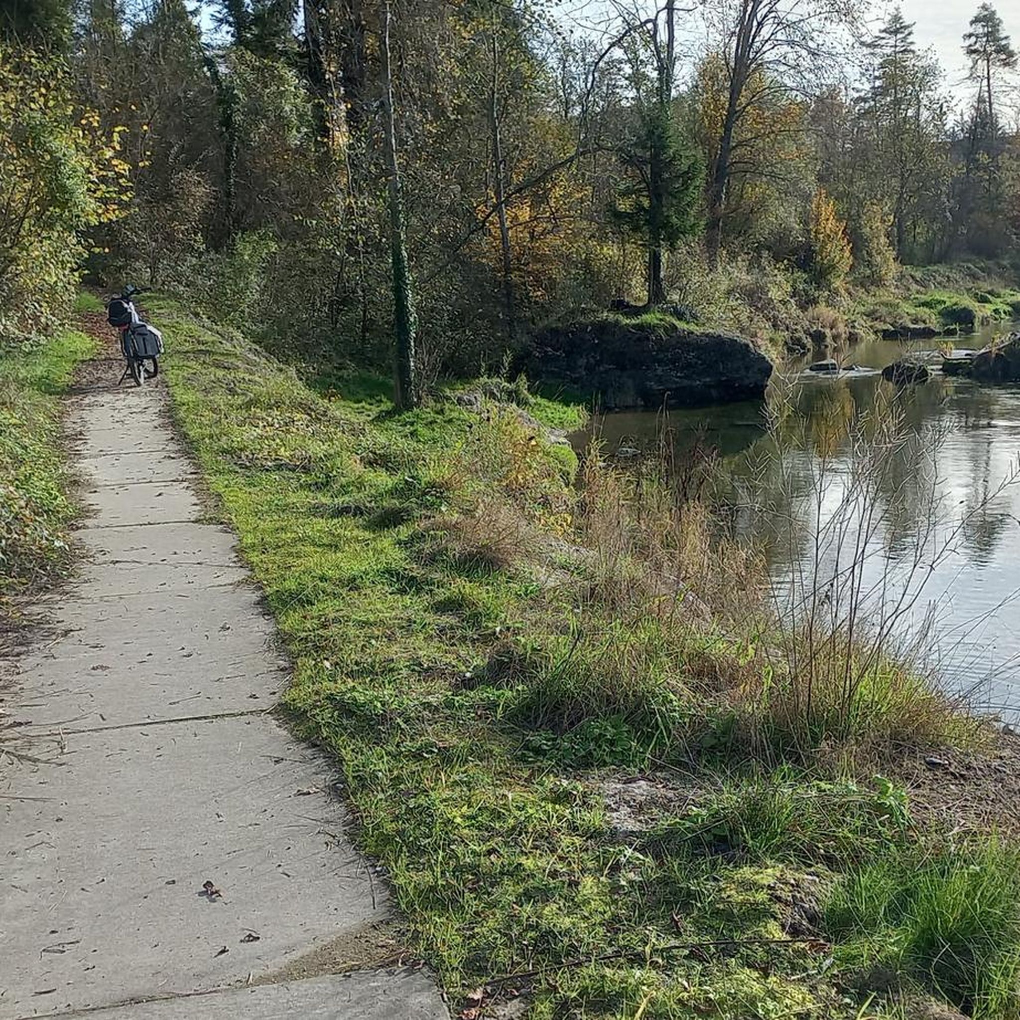
Nice place for a break or for swimming
2
0

If the sun is right> mega picture
1
0
Beautiful railway bridge over the Alz
3
0
Frequently Asked Questions
What types of hiking trails can I find in Garching an der Alz?
Garching an der Alz offers a diverse range of hiking trails, primarily featuring tranquil rural settings with rolling hills, verdant forests, and picturesque paths along the Alz River. You'll find routes suitable for various ability levels, from easy strolls to more moderate paths. The landscape is also shaped by unique geological formations from past glacial activity.
How many hiking routes are available in the Garching an der Alz area?
There are over 50 hiking routes available around Garching an der Alz. These include a good mix of easy and moderate trails, with a few more challenging options for experienced hikers.
Are there any easy or family-friendly hiking trails in Garching an der Alz?
Yes, Garching an der Alz is well-suited for families and beginners, with over 30 easy routes. Many trails follow the gentle banks of the Alz River, offering pleasant walks without significant elevation changes. These routes are ideal for a relaxed outing with children.
What natural landmarks or geological features can I discover while hiking?
The region is rich in natural and geological features. You can explore the impressive Geological Organs at Oberschroffen, recognized as one of Bavaria's most beautiful geotopes. Other notable spots include the View of the Heistinger Prallhang and Inn River Bend, offering expansive perspectives and insights into Ice Age history, and the Kobler Höhe, an Ice Age moraine with panoramic views of the Alztal valley and the Alps.
Are there any circular hiking routes around Garching an der Alz?
Yes, many of the trails in Garching an der Alz are designed as circular routes, allowing you to start and end at the same point. An example is the Railway bridge over the Alz River – Alz Bridge loop from Garching an der Alz, which is a moderate 5.2 km loop.
What historical or cultural attractions can I see near the hiking trails?
Beyond natural beauty, you can integrate historical and cultural sites into your hikes. Discover the architecturally significant SKW factory settlement, including the "Janisch-Siedlung." You might also encounter historical churches like St. Ulrich or the Gothic church in Mauerberg, or the Schloss in Wald an der Alz with its St. Erasmus Chapel. For a broader cultural experience, the Mühldorf Town Square and the Chapel of Grace in Altötting are easily accessible nearby.
What do other hikers enjoy most about the trails in Garching an der Alz?
The trails in Garching an der Alz are highly rated by the komoot community, with an average score of 4.5 stars from nearly 400 reviews. Hikers often praise the peaceful riverside paths, the scenic views, and the well-maintained routes that offer a pleasant escape into nature.
Can I bring my dog on the hiking trails in Garching an der Alz?
Generally, dogs are welcome on most hiking trails in Garching an der Alz. It's always recommended to keep your dog on a leash, especially in nature protection areas or when passing through agricultural land, and to be mindful of other hikers and wildlife. Please check specific route details for any restrictions.
What is the typical elevation gain on hikes in Garching an der Alz?
Most hikes in Garching an der Alz feature relatively gentle terrain with modest elevation gains, making them accessible for a wide range of fitness levels. For example, the Picnic Spot on the Alz River loop from Hart an der Alz has an elevation gain of around 25 meters over 4.1 kilometers.
Are there places to eat or drink near the hiking routes?
Yes, you can find options for refreshments. The region has local eateries and traditional Bavarian pubs. For instance, the Wirtshaus Asten Beer Garden is a popular spot where you can relax after your hike. Many routes also feature designated picnic and rest spots along the Alz River.
When is the best time of year to go hiking in Garching an der Alz?
Garching an der Alz offers enjoyable hiking experiences throughout much of the year. Spring brings blooming nature, while summer provides lush green landscapes perfect for riverside strolls. Autumn offers beautiful fall foliage. Even in winter, with appropriate gear, the trails can be serene, though some paths might be less accessible depending on snow conditions.
Is there public transport available to reach the hiking trailheads?
While Garching an der Alz is primarily accessed by car, local bus services connect the town with surrounding areas. It's advisable to check local public transport schedules and routes in advance to plan your journey to specific trailheads, as direct access to all starting points might be limited.
Where can I find parking for hiking trails in Garching an der Alz?
Parking is generally available at various starting points for hiking trails, particularly in and around the main town of Garching an der Alz and smaller villages like Hart an der Alz. Look for designated parking areas near popular trailheads or local amenities. Specific parking information can often be found on detailed route descriptions.
Most popular routes around Garching an der Alz
Most popular attractions around Garching an der Alz

Get inspired with the komoot mobile app


Explore more
Browse the best Hikes in other regions.
