Attractions and Places To See around Santa Eulália - Top 7
Best attractions and places to see around Santa Eulália are concentrated in a mountainous landscape, offering a blend of natural beauty and historical routes. This region, located in Portugal, features river beaches, unique rock formations, and ancient aqueducts. Visitors can explore diverse terrain, from serene riverbanks to challenging mountain climbs, providing varied outdoor experiences. The area is characterized by its granite outcrops, lush vegetation, and waterways, making it suitable for exploration.
Best attractions and places to see around Santa Eulália
…Last updated: May 20, 2026
Lapa dos Dinheiros River Beach
Highlight • Beach
Translated by Google •
Tip by

Cornos do Diabo
Highlight • Natural Monument
Translated by Google •
Tip by
Sign up now to discover places like this
Get recommendations on the best single tracks, peaks, & plenty of other exciting outdoor places.
Sign up for free
Aqueduct of the Caniça Route
Highlight (Segment) • Monument
Translated by Google •
Tip by

Serra da Estrela Levada
Highlight • Trail
Translated by Google •
Tip by

Climb to Lagoa Comprida via Estrada Nacional N338
Highlight (Segment) • Climb
Stands for Estrada Nacional N338, somewhere around km 14 and km 21.
Between the roundabout after Loriga, you turn right and starts the party.
Why it's so difficult? …
Tip by

Sign up for free to discover even more attractions around Santa Eulália.
Sign up for free
Already have an account?
Start today with a free account
Your next adventure awaits.
Login or Signup


Tips from the Community


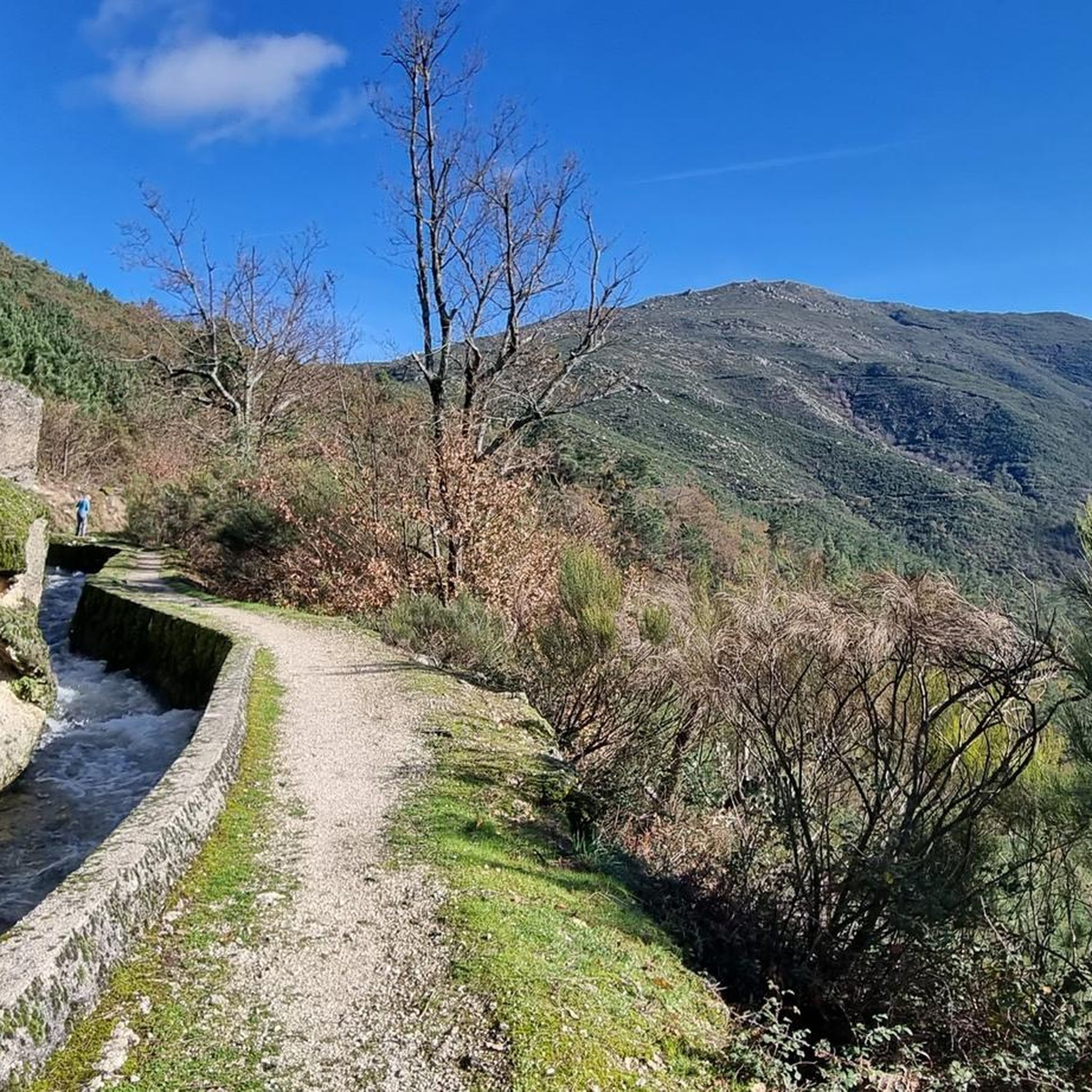
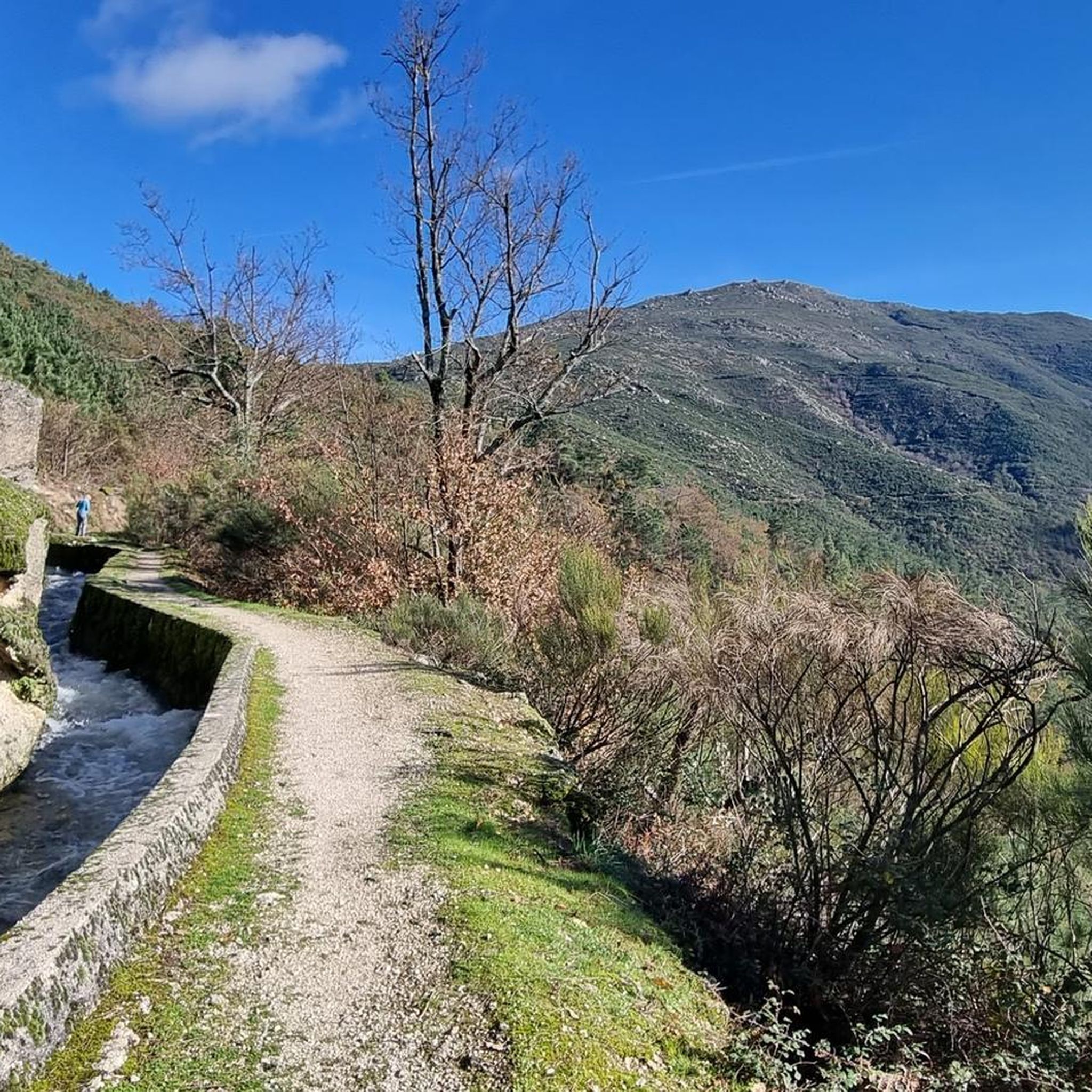
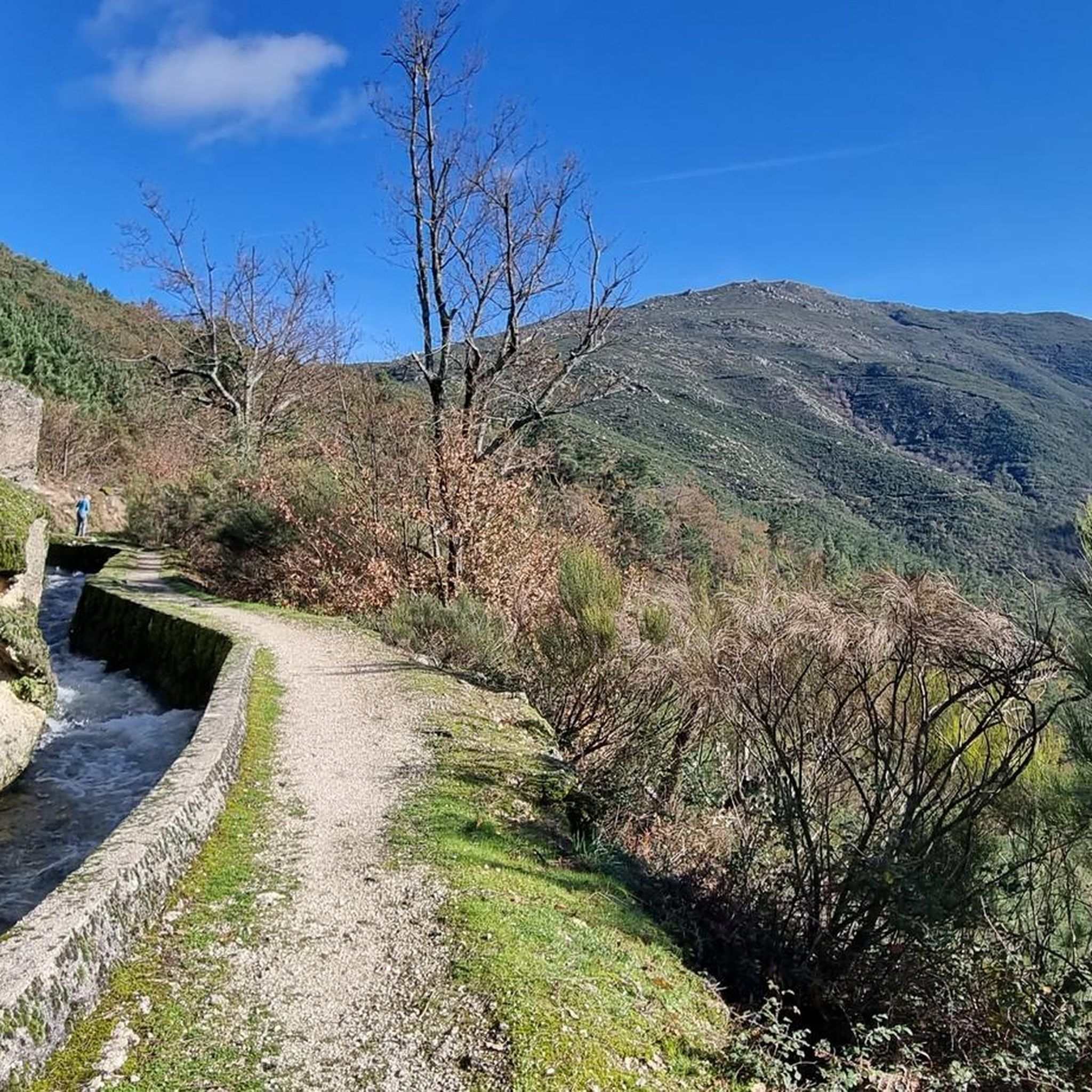
The Devil's Horns are a prominent granite rock formation with two horn-like points, located in the Serra da Estrela mountain range, near Lapa dos Dinheiros and Senhora do Desterro (not in Gerês, but in Seia, Portugal). They are the highlight of a famous circular hiking trail that follows a water channel and the Caniça stream, offering stunning landscapes, lagoons, and waterfalls. 👍🥾
0
0

The Lapa dos Dinheiros river beach is in perfect harmony with nature. Located in the parish of Lapa dos Dinheiros, on the Caniça River, a right-bank tributary of the Alva River, this bathing area is nestled in a mountainous landscape dominated by the Lapa Souto (south of Lapa) and imposing granite outcrops. With clear water, very appealing for swimming, the beach boasts the award for accessible beach and has lifeguards and a bar available to visitors. The rugged terrain of the valley causes the river to form a succession of small waterfalls nearby. The Lapa Souto, in addition to its valuable collection of centuries-old chestnut trees, is also home to a high level of biodiversity. From the bridge, a pedestrian path leads to the Moura Hole and a viewpoint over the Caniça Waterfalls. The Buraco da Moura is a natural cave system created by the sliding and accumulation of large granite blocks, which formed a complex system of rooms and galleries. How to get there? Once in Seia, follow the EN231 to S. Romão. From there, continue uphill for about 5 km, toward Loriga/Lapa, until you find the sign for Lapa dos Dinheiros on the left. Once inside the town, simply follow the beach signs. Coordinates: 40º 23′ 07.0″ N / 7º 41′ 50.1″ W
1
0
Caution: collapsed path (also aqueduct) 2.5 km from the start. Possible but dangerous passage.
3
0

The enigmatic Devil's Horns rise from the granite, defying the sky with their six-metre height. Sculpted by erosion over the centuries, they earned this bold name thanks to their sharp and imposing profile. But the charm doesn't end there: around this unique formation, there are small crystal-clear lagoons and serene waterfalls, creating a true natural refuge that seems to have come straight out of a fantasy story.
3
1
Nestled on the banks of the Caniça river, a tributary of the Alva river, this beach area is a haven in the middle of a mountainous landscape, where ancient chestnut trees and granite blocks shape the scenery. The crystal-clear, inviting water is perfect for a refreshing dip. The beach, which has been awarded the title of accessible, has lifeguards and a bar, making the experience even more enjoyable.
3
0

Nice and hard alternative to climb the Tower from Seia
1
0

The climb. Stands for Estrada Nacional N338, somewhere around km 14 and km 21. Between the roundabout after Loriga, you turn right and starts the party. Why it's so difficult? 1-Always VERY STEEP: consider 12%-14% climbing. (That means riding 1 km you climb more than 100m vertical). 2-Always VERY EXPOSED to elements: due to the West-North-West location, you can't hide from the strongest winds, heavy rain and sometimes snow. ("The only way is up, baby!") 3-VERY HIGH: at least for the portuguese standards, finishing at 1650m. altitude at the "Lagoa Comprida" T juction. Enjoy the views.
3
0
Frequently Asked Questions
What natural attractions can I explore around Santa Eulália?
Santa Eulália is rich in natural beauty, featuring a mountainous landscape with unique rock formations and serene river areas. A highlight is Lapa dos Dinheiros River Beach, nestled on the banks of the Caniça river amidst ancient chestnut trees and granite blocks. You can also discover the striking Cornos do Diabo (Devil's Horns), a prominent granite rock formation with small crystal-clear lagoons and waterfalls nearby.
Are there any historical or man-made monuments to visit?
Yes, the region features historical elements such as ancient aqueducts. The Aqueduct of the Caniça Route is a notable man-made monument that forms part of a beautiful regional hiking trail, offering a glimpse into the area's past.
What kind of outdoor activities are available near Santa Eulália's attractions?
The mountainous landscape around Santa Eulália is ideal for various outdoor activities. You can find numerous hiking, running, and mountain biking trails. For hiking, popular options include the Caniça Trail (PR10 Seia) and the Serra da Estrela Levada – Aqueduct of the Caniça Route loop. For more details on routes, visit the Hiking around Santa Eulália guide.
Are there family-friendly attractions or activities in the area?
The Lapa dos Dinheiros River Beach is an excellent family-friendly option, known for its crystal-clear, inviting water, lifeguards, and a bar. It's an accessible beach perfect for a refreshing dip in a natural setting.
What are the options for hiking trails around Santa Eulália?
Santa Eulália offers a variety of hiking trails, ranging from moderate to challenging. The Serra da Estrela Levada provides a comfortable walk at ground level, leading to natural features like the Teufelshörner (Devil's Horns). The Aqueduct of the Caniça Route is a regional hiking trail (PR10) that requires good step resistance and involves some climbing. For a comprehensive list, check out the Hiking around Santa Eulália guide.
Can I find challenging climbs or trails for experienced hikers/cyclists?
Yes, for those seeking a challenge, the Climb to Lagoa Comprida via Estrada Nacional N338 offers a very steep ascent, with gradients of 12%-14% and reaching altitudes of 1650m. It's a demanding route exposed to elements but rewards with stunning views.
What do visitors particularly enjoy about the attractions in Santa Eulália?
Visitors appreciate the harmonious blend of nature and accessibility, especially at Lapa dos Dinheiros River Beach, which is praised for its clear water and natural setting. The scenic beauty of the Cornos do Diabo and the rewarding experience of the Aqueduct of the Caniça Route are also highly regarded for their natural charm and adventurous spirit.
Are there any running trails available?
Yes, Santa Eulália offers several running trails, including challenging options like the Oh Meu Deus 50k Trail and the Cornos do Diabo – Aqueduct of the Caniça Route loop. You can find more details and routes in the Running Trails around Santa Eulália guide.
What are the options for mountain biking (MTB) in the area?
Mountain biking enthusiasts will find a range of trails around Santa Eulália, predominantly rated as difficult. Routes like the Caniçada Waterfall – Casa das Obras Fountain loop and the Long Lake – Serra da Estrela loop offer extensive and challenging rides. Explore more options in the MTB Trails around Santa Eulália guide.
Is there a specific trail that combines natural beauty with historical elements?
The Serra da Estrela Levada trail, combined with the Aqueduct of the Caniça Route, offers a unique experience. This path follows an ancient water channel, providing a comfortable walk while showcasing both the natural landscape and the historical aqueduct structure.
Are there any accessible attractions for visitors with mobility needs?
The Lapa dos Dinheiros River Beach has been awarded the title of accessible, making it a suitable option for visitors with mobility needs. It features clear water, lifeguards, and facilities, all within a beautiful natural setting.

Get inspired with the komoot mobile app


Explore more
Still not found the Highlight you’re looking for? See guides of the top attractions in other regions:
