The best walks and hikes around Vila Cova À Coelheira
4.6
(499)
1,995
hikers
22
hikes
Hiking around Vila Cova À Coelheira offers a diverse landscape characterized by mountainous terrain, river valleys, and historical aqueducts. The region is situated near the Serra da Estrela Natural Park, featuring trails that traverse forests, open hillsides, and lead to notable waterfalls. This area provides a mix of elevations, from gentle riverside paths to more challenging ascents.
Best hiking trails around Vila Cova À Coelheira
- The most popular hiking route is Caniça Trail (PR10 Seia), a 4.5 miles (7.2…
Last updated: July 8, 2026
4.8
(78)
269
hikers
7.23km
02:26
360m
360m
Hike the moderate 4.5-mile Tour of Caniça (PR 10) in Serra da Estrela, featuring waterfalls, ancient forests, and unique rock formations.
4.5
(25)
93
hikers
14.8km
04:31
490m
490m
Hike the moderate Ribeira de Loriga Route, a 9.2-mile (14.8 km) trail through a unique valley in Serra da Estrela Natural Park.

Sign up for free
4.8
(22)
70
hikers
Moderate hike. Good fitness required. Easily-accessible paths. Suitable for all skill levels.
4.0
(1)
26
hikers
Moderate hike. Good fitness required. Easily-accessible paths. Suitable for all skill levels.
5.0
(2)
16
hikers
3.72km
01:04
90m
90m
Easy hike. Great for any fitness level. Easily-accessible paths. Suitable for all skill levels.
Get access to more routes and recommendations from other explorers.
Sign up for free
Already have an account?
Our route recommendations are based on thousands of hikes, rides, and runs completed by other people on komoot.
Start today with a free account
Your next adventure awaits.
Login or Signup
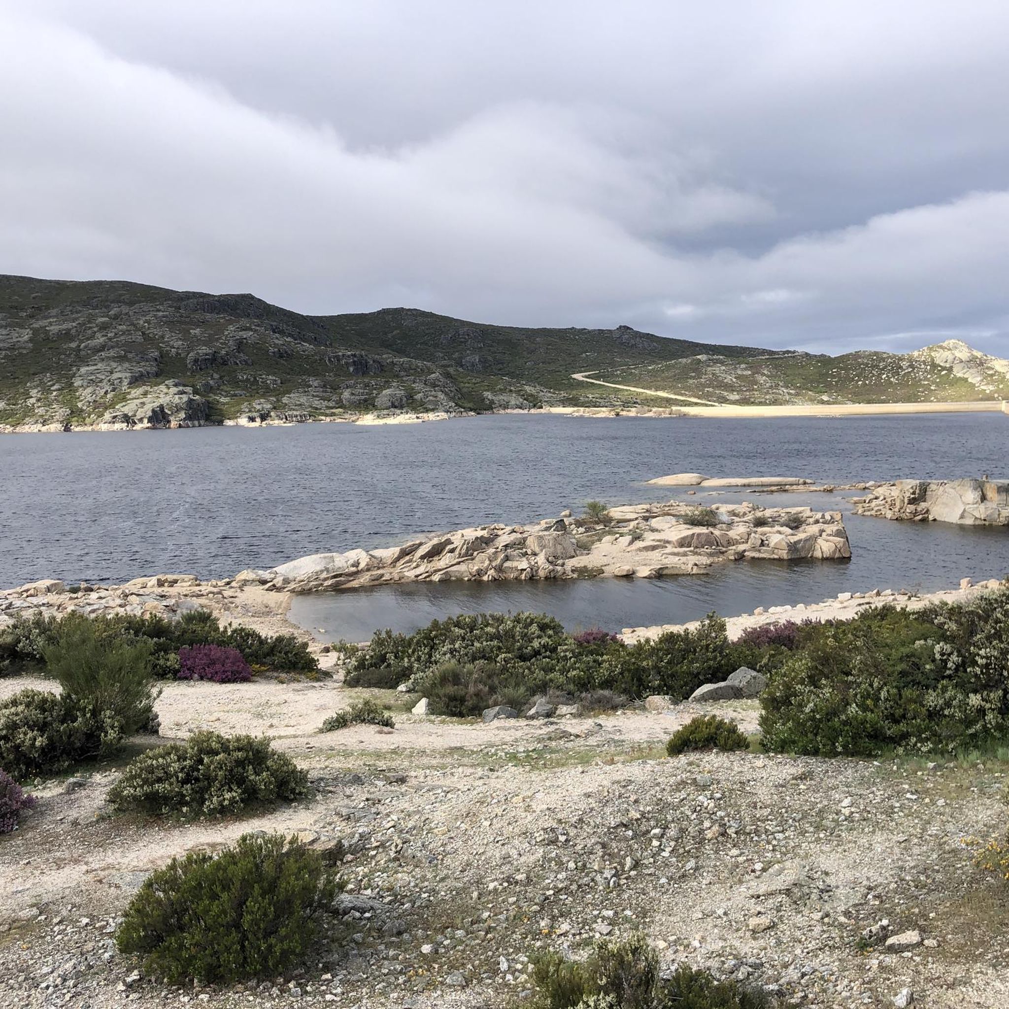
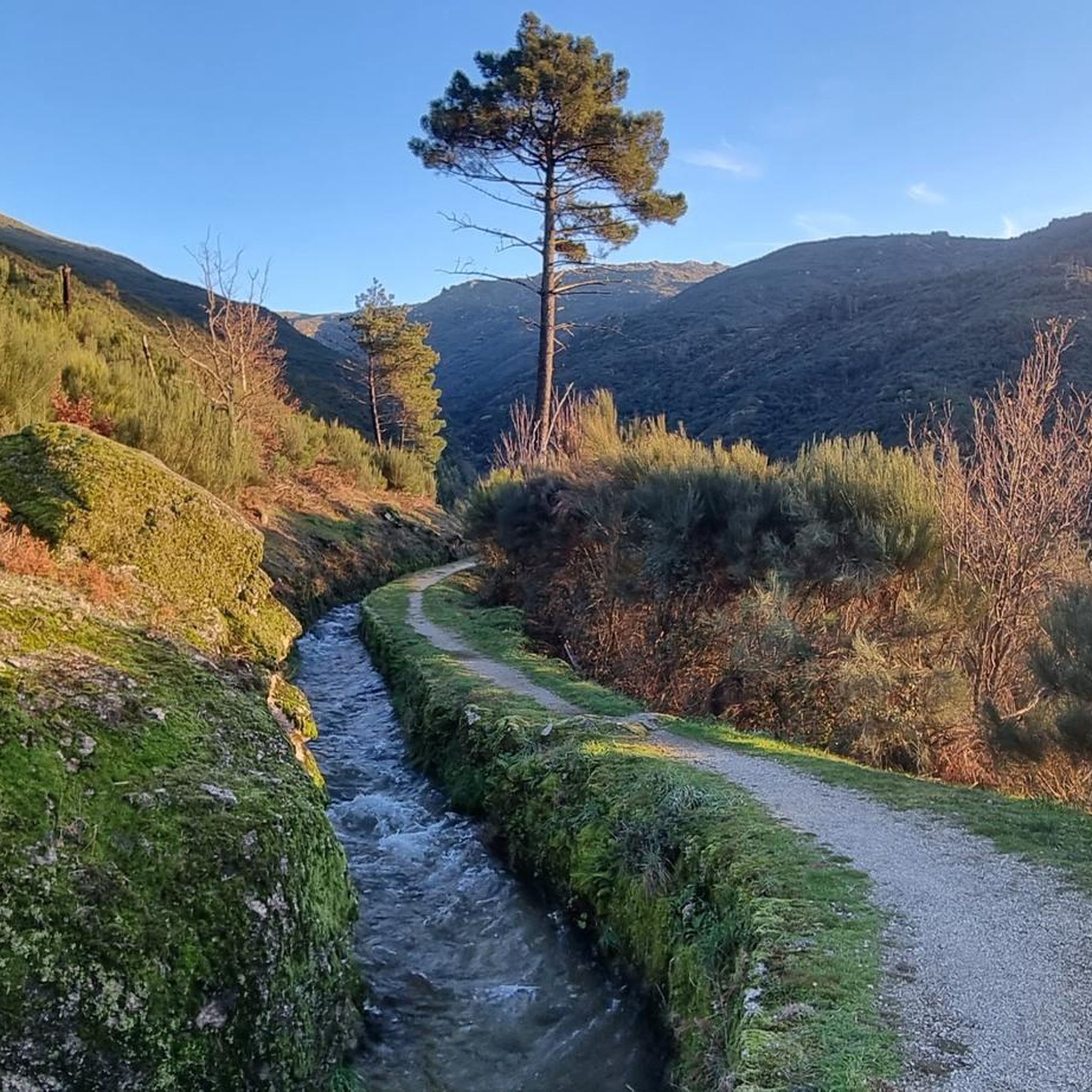
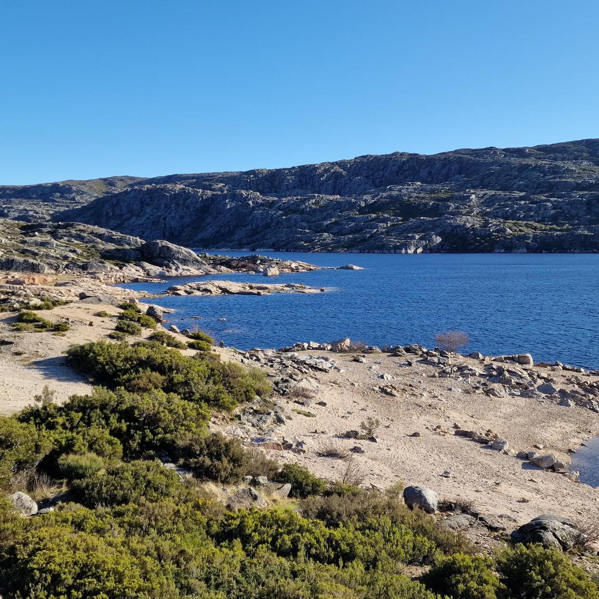
Tips from the Community

The Loriga Glacial Valley is an impressive geological formation of glacial origin, approximately 6.5 kilometers long, located in the municipality of Seia, right in the Serra da Estrela Natural Park. Shaped during the last ice age, this "U"-shaped valley stands out for its steep granite slopes, staircase-like cirques, and the famous village of Loriga, often nicknamed the "Portuguese Switzerland" due to its mountainous surroundings.👍🥾
0
0

The Devil's Horns are a prominent granite rock formation with two horn-like points, located in the Serra da Estrela mountain range, near Lapa dos Dinheiros and Senhora do Desterro (not in Gerês, but in Seia, Portugal). They are the highlight of a famous circular hiking trail that follows a water channel and the Caniça stream, offering stunning landscapes, lagoons, and waterfalls. 👍🥾
0
0

The Lapa dos Dinheiros river beach is in perfect harmony with nature. Located in the parish of Lapa dos Dinheiros, on the Caniça River, a right-bank tributary of the Alva River, this bathing area is nestled in a mountainous landscape dominated by the Lapa Souto (south of Lapa) and imposing granite outcrops. With clear water, very appealing for swimming, the beach boasts the award for accessible beach and has lifeguards and a bar available to visitors. The rugged terrain of the valley causes the river to form a succession of small waterfalls nearby. The Lapa Souto, in addition to its valuable collection of centuries-old chestnut trees, is also home to a high level of biodiversity. From the bridge, a pedestrian path leads to the Moura Hole and a viewpoint over the Caniça Waterfalls. The Buraco da Moura is a natural cave system created by the sliding and accumulation of large granite blocks, which formed a complex system of rooms and galleries. How to get there? Once in Seia, follow the EN231 to S. Romão. From there, continue uphill for about 5 km, toward Loriga/Lapa, until you find the sign for Lapa dos Dinheiros on the left. Once inside the town, simply follow the beach signs. Coordinates: 40º 23′ 07.0″ N / 7º 41′ 50.1″ W
1
0

The Sanctuary of Our Lady of Desterro stands on the banks of the Alva River as an authentic path of faith, marked by ten chapels built over more than two centuries, between 1650 and 1892. Near the village, nature itself left its masterpiece: a curious rock, sculpted by time, that resembles the head of an old woman watching over the mountains.
0
0
Caution: collapsed path (also aqueduct) 2.5 km from the start. Possible but dangerous passage.
3
0
The enigmatic Devil's Horns rise from the granite, defying the sky with their six-metre height. Sculpted by erosion over the centuries, they earned this bold name thanks to their sharp and imposing profile. But the charm doesn't end there: around this unique formation, there are small crystal-clear lagoons and serene waterfalls, creating a true natural refuge that seems to have come straight out of a fantasy story.
3
1
Nestled on the banks of the Caniça river, a tributary of the Alva river, this beach area is a haven in the middle of a mountainous landscape, where ancient chestnut trees and granite blocks shape the scenery. The crystal-clear, inviting water is perfect for a refreshing dip. The beach, which has been awarded the title of accessible, has lifeguards and a bar, making the experience even more enjoyable.
3
0
Frequently Asked Questions
How many hiking trails are available around Vila Cova À Coelheira?
There are over 20 hiking trails in the Vila Cova À Coelheira region. These include a mix of easy, moderate, and challenging routes, catering to various fitness levels.
Are there any easy or family-friendly hiking options?
Yes, the area offers 9 easy trails suitable for families or beginners. A good option is the Caniçada Waterfall loop from Lapa dos Dinheiros, which is just under 4 km and features a beautiful waterfall.
What kind of terrain can I expect on the trails?
The terrain around Vila Cova À Coelheira is diverse, characterized by mountainous landscapes, river valleys, and historical aqueducts. You'll find paths traversing forests, open hillsides, and some routes leading to waterfalls.
Are there any circular hiking routes?
Yes, many routes in the region are circular. For example, the Serra da Estrela Levada – Aqueduct of the Caniça Route loop from Lapa dos Dinheiros is a popular circular trail that takes you through historical aqueducts and mountain scenery.
What are the best times of year to go hiking in Vila Cova À Coelheira?
Spring and autumn generally offer the most pleasant hiking conditions with mild temperatures and vibrant scenery. Summer can be hot, especially at lower elevations, while winter might bring snow to higher parts of the nearby Serra da Estrela Natural Park.
Are there any waterfalls or natural swimming spots along the trails?
Absolutely! The region is known for its natural beauty, including several waterfalls and river beaches. You can explore highlights like Poço da Broca de Serapitel or the Waterfall and natural swimming pool in Parque Natural da Serra da Estrela. The Lapa dos Dinheiros River Beach is also a popular spot.
What do other hikers say about the trails in Vila Cova À Coelheira?
The trails in Vila Cova À Coelheira are highly rated by the komoot community, with an average score of 4.5 stars from over 400 reviews. Hikers often praise the varied terrain, scenic views, and the opportunity to explore both natural landscapes and historical elements like aqueducts.
Is public transport available to access hiking trailheads?
While some villages near trailheads might have limited bus services, direct public transport to all trail starting points can be challenging. It's often recommended to use a car for more flexible access to the diverse hiking network in the region.
Are there any challenging hikes for experienced trekkers?
Yes, for those seeking a challenge, there are 4 difficult trails in the area. These routes typically involve more significant elevation gains and longer distances, offering a rewarding experience for seasoned hikers.
Can I find places to eat or drink near the hiking routes?
Many of the hiking routes pass through or near small villages where you can find local cafes and restaurants. It's always a good idea to check opening times, especially in smaller, more remote locations, or pack your own provisions.
What are some notable landmarks or points of interest to look out for?
Beyond the natural beauty, the region features interesting landmarks. Keep an eye out for unique geological formations like Cornos do Diabo or the impressive Covão dos Conchos Trail, known for its distinctive 'drain' in the lake.
Are dogs allowed on the hiking trails?
Generally, dogs are permitted on trails in the region, especially outside of protected natural park areas. However, it's always best to keep them on a leash and check for specific regulations if you are entering the Serra da Estrela Natural Park, as rules can vary.
Most popular attractions around Vila Cova À Coelheira

Get inspired with the komoot mobile app


Explore more
Browse the best Hikes in other regions.
