The best walks and hikes around Alvorninha
4.6
(200)
1,495
hikers
30
hikes
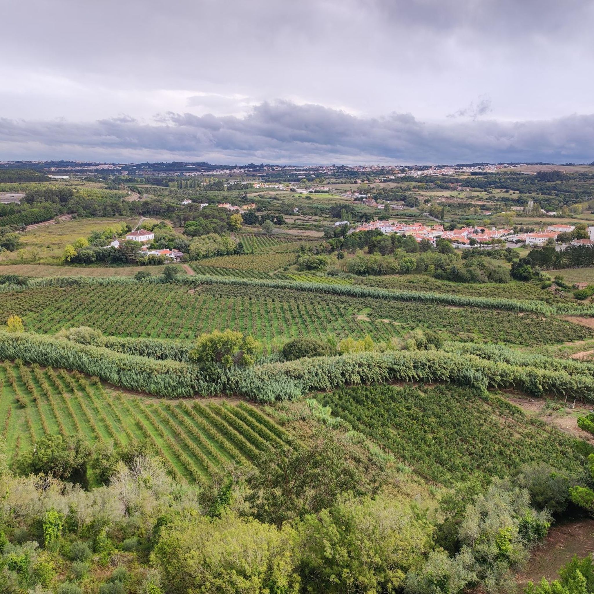
Hiking around Alvorninha offers a diverse landscape characterized by rolling hills, rural pathways, and natural water features. The region features a mix of agricultural land and wooded areas, providing varied scenery for outdoor activities. Trails often follow streams or lead through small villages, showcasing the local environment. This area provides accessible hiking opportunities for various skill levels.
Best hiking trails around Alvorninha
- The most popular hiking route is Olho de Água de Alcobertas loop from Alcobertas, an 8.4 miles (13.5 km) trail that takes 3 hours 57 minutes to complete. This moderate route explores natural springs and the surrounding countryside.
- Another top favourite among local hikers is Chãos Cave – Alcobertas Cave loop from Alcobertas, a moderate 4.9 miles (7.9 km) path. This trail navigates through rural landscapes and past geological formations.
- Local hikers also love the Old Water Mill – Abandoned Mill loop from Rio Maior, a 4.9 miles (7.8 km) trail leading through historical mill sites and riverine areas, often completed in about 2 hours 11 minutes.
- Hiking around Alvorninha is defined by rural pathways, rolling hills, and historical water features, with options available for various ability levels.
- The routes in Alvorninha are highly rated by the komoot community with an average score of 4.5 stars from over 100 reviews. More than 800 hikers have used komoot to explore Alvorninha's varied terrain.
Last updated: May 11, 2026
4.7
(3)
12
hikers
13.5km
03:58
370m
370m
Moderate hike. Good fitness required. Easily-accessible paths. Suitable for all skill levels.
4.0
(1)
11
hikers
7.92km
02:22
220m
220m
Moderate hike. Good fitness required. Mostly accessible paths. Sure-footedness required.

Sign up for free
4.0
(3)
7
hikers
7.81km
02:11
150m
150m
Moderate hike. Good fitness required. Easily-accessible paths. Suitable for all skill levels.
4.0
(4)
8
hikers
4.77km
01:26
130m
130m
Moderate hike. Great for any fitness level. Mostly accessible paths. Sure-footedness required.
5.0
(1)
3
hikers
5.17km
01:21
40m
40m
Easy hike. Great for any fitness level. Easily-accessible paths. Suitable for all skill levels.
Get access to more routes and recommendations from other explorers.
Sign up for free
Already have an account?
Our route recommendations are based on thousands of hikes, rides, and runs completed by other people on komoot.
Start today with a free account
Your next adventure awaits.
Login or Signup
Tips from the Community

Nothing special, just church without any extremes
3
0

"Workshop" where you can make small repairs to your stomach
1
0

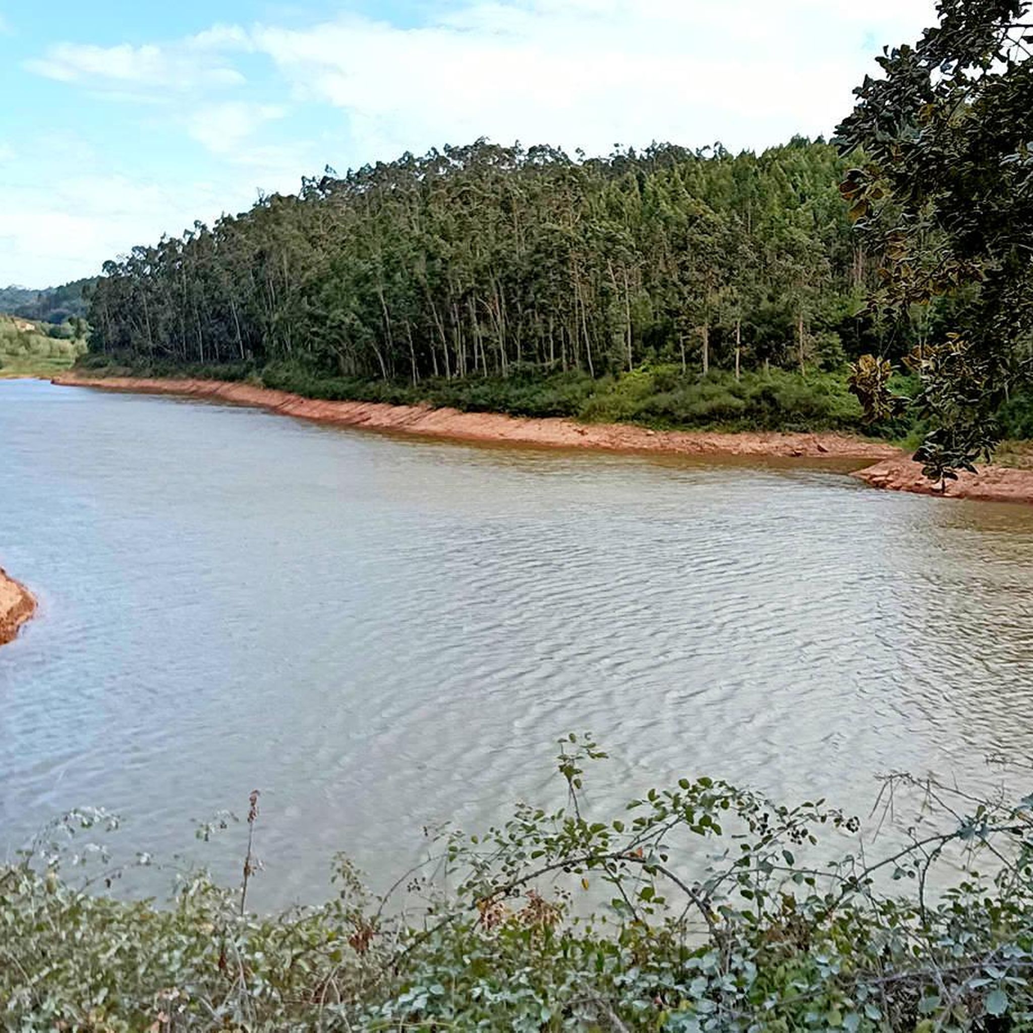
The Arnóia River rises in the Serra de Todo o Mundo and flows for 30 km before flowing into the Óbidos Lagoon. A dam was built about one and a half kilometres from Óbidos, in the Horta Valley, whose reservoir was used to irrigate the area's crops.
0
0


A beautiful passageway overgrown with vines.
3
0
a very beautiful entrance gate reminiscent of a botanical garden.
4
0
Ruins of the former thermal hospital, which has been used as a college for education since October 15, 1990.
2
0

If you have the time and desire, you can go to the thermal baths
4
0
Frequently Asked Questions
How many hiking trails are available around Alvorninha?
There are over 30 hiking routes in the Alvorninha region, offering a variety of experiences from easy strolls to more challenging treks. You'll find options suitable for different fitness levels and interests.
Are there any easy hikes suitable for beginners or families in Alvorninha?
Yes, Alvorninha offers 12 easy hiking trails. A good option for a relaxed walk is the Sapo Bordallo Pinheiro – Praça da Fruta Market loop from Caldas da Rainha, which is 6.0 km long and takes about 1 hour 33 minutes to complete, featuring gentle terrain.
Can I find circular walks around Alvorninha?
Many of the trails around Alvorninha are circular, allowing you to start and end at the same point. For example, the Olho de Água de Alcobertas loop from Alcobertas is a popular 13.5 km circular route exploring natural springs and countryside.
What kind of geological features can I expect to see on hikes in Alvorninha?
The region features interesting geological formations, particularly around areas like Alcobertas. The Chãos Cave – Alcobertas Cave loop from Alcobertas is a moderate 7.9 km trail that specifically navigates through rural landscapes and past these geological formations, including caves.
Are there any historical sites or landmarks to explore while hiking?
Yes, the area around Alvorninha is rich in history. You can explore sites like the Óbidos Castle and walk along the Óbidos Town Wall Walk. The Old Water Mill – Abandoned Mill loop from Rio Maior also leads through historical mill sites.
What do other hikers enjoy most about the trails in Alvorninha?
The trails in Alvorninha are highly rated by the komoot community, with an average score of 4.5 stars from over 140 reviews. Hikers often praise the diverse scenery, which includes rolling hills, rural pathways, and natural water features, as well as the well-maintained paths.
Are there any hikes that feature water elements like rivers or dams?
Yes, several routes incorporate water features. The Arnóia River Dam – Óbidos Reservoir loop from Óbidos is a moderate 4.8 km trail that takes you past the Arnóia River Dam and the reservoir. The Arnóia River itself is a notable natural feature in the region.
What is the best time of year to go hiking in Alvorninha?
The Alvorninha region, with its Mediterranean climate, is generally pleasant for hiking in spring (March to May) and autumn (September to November) when temperatures are milder. Summers can be hot, so early morning or late afternoon hikes are recommended, while winters are generally mild but can be wet.
Are there any challenging hikes for experienced hikers in Alvorninha?
While most trails are easy to moderate, there are 2 difficult routes for those seeking a greater challenge. These routes typically feature more significant elevation changes and longer distances, providing a more strenuous workout amidst the region's varied terrain.
What should I bring for a hike in Alvorninha?
For hiking in Alvorninha, it's advisable to bring comfortable walking shoes, sufficient water, sun protection (hat, sunscreen), and a fully charged phone. Depending on the season, a light jacket or rain gear might also be useful. Always check the weather forecast before heading out.
Are there any places to eat or drink near the hiking trails?
The hiking trails often pass through or near small villages and towns in the Alvorninha region. You can typically find local cafes, restaurants, or small shops in these areas to refuel or enjoy a meal after your hike. Specific recommendations would depend on your chosen route.
Is parking available at the trailheads in Alvorninha?
Parking availability varies by trailhead. In smaller villages or starting points for popular routes, you can often find designated parking areas or roadside parking. It's recommended to check specific route details or local information for parking options at your chosen starting point.
Most popular attractions around Alvorninha

Get inspired with the komoot mobile app


Explore more
Browse the best Hikes in other regions.
